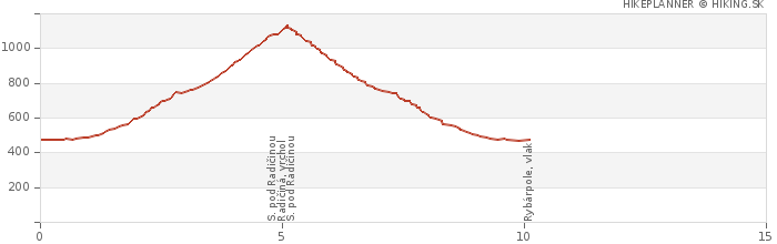
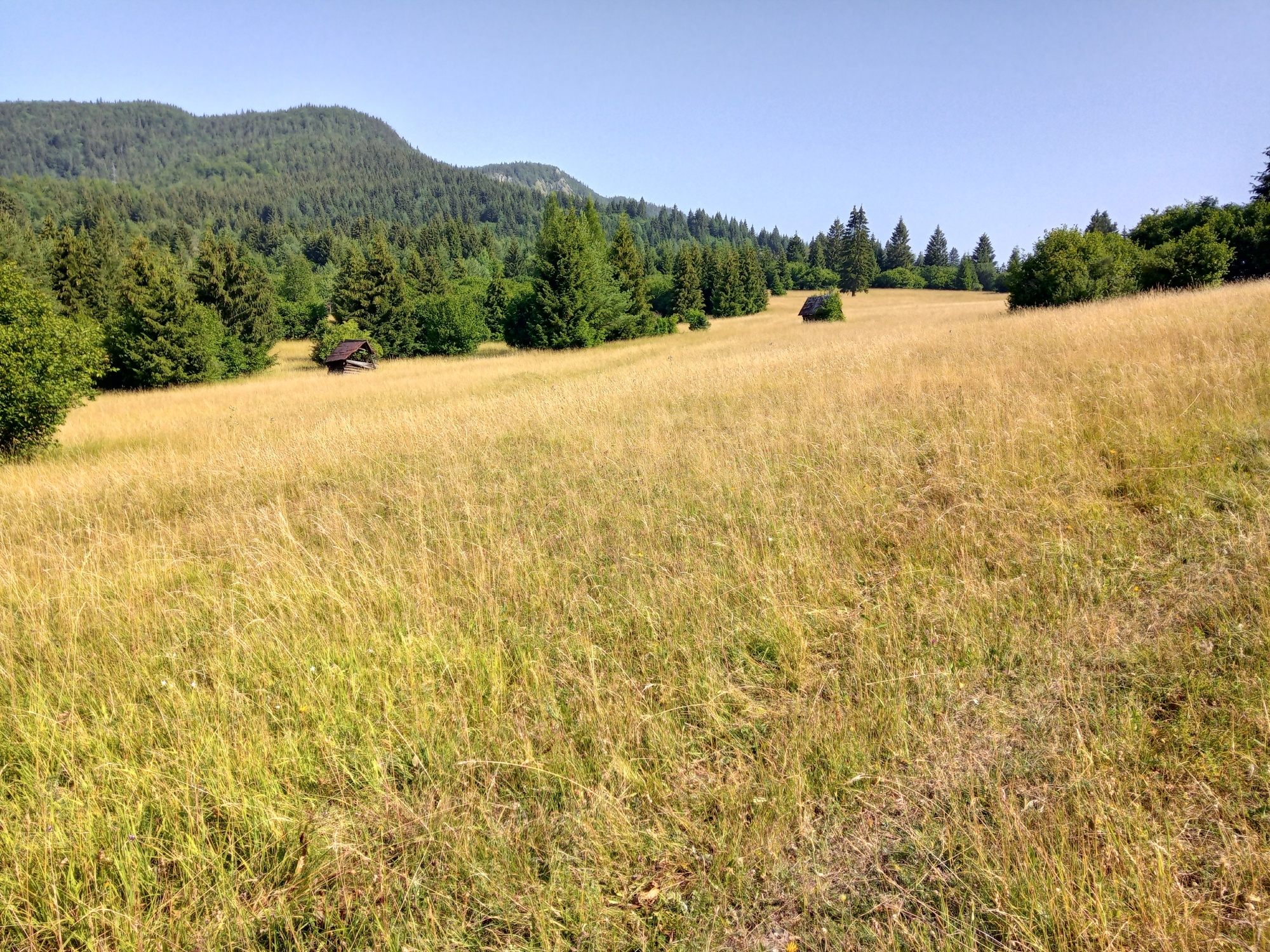
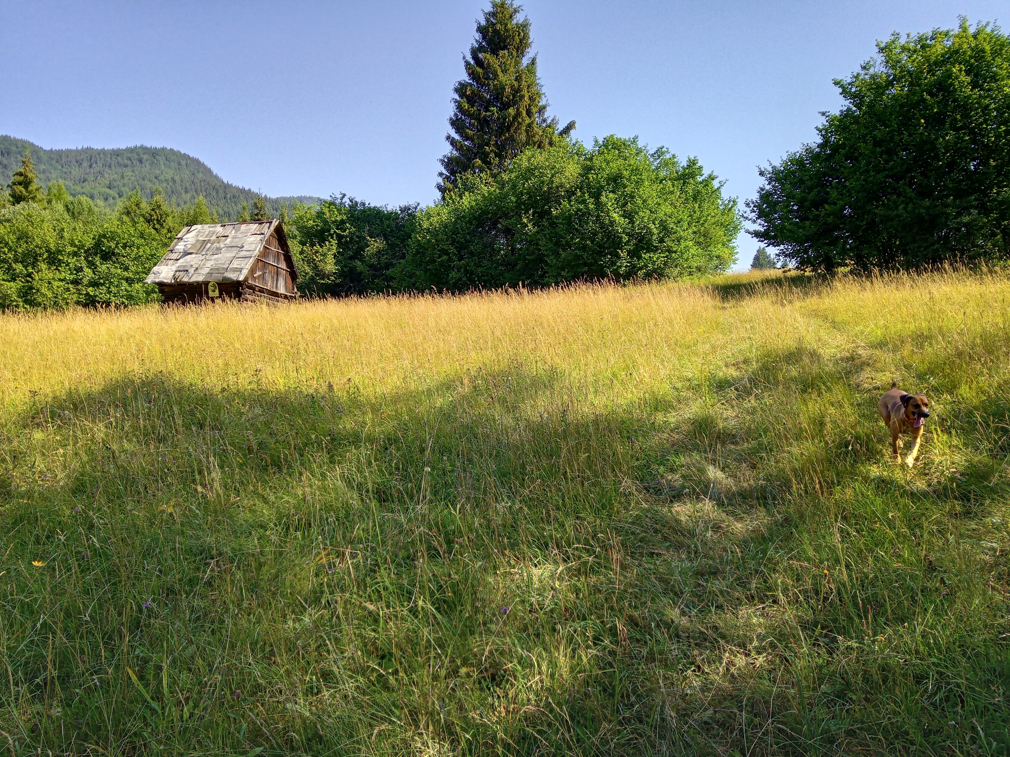
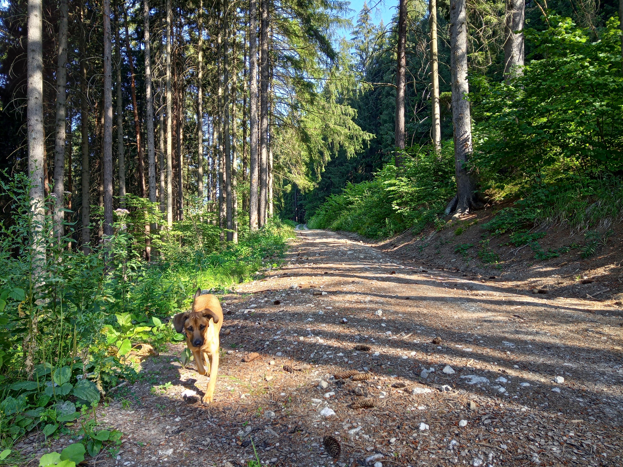
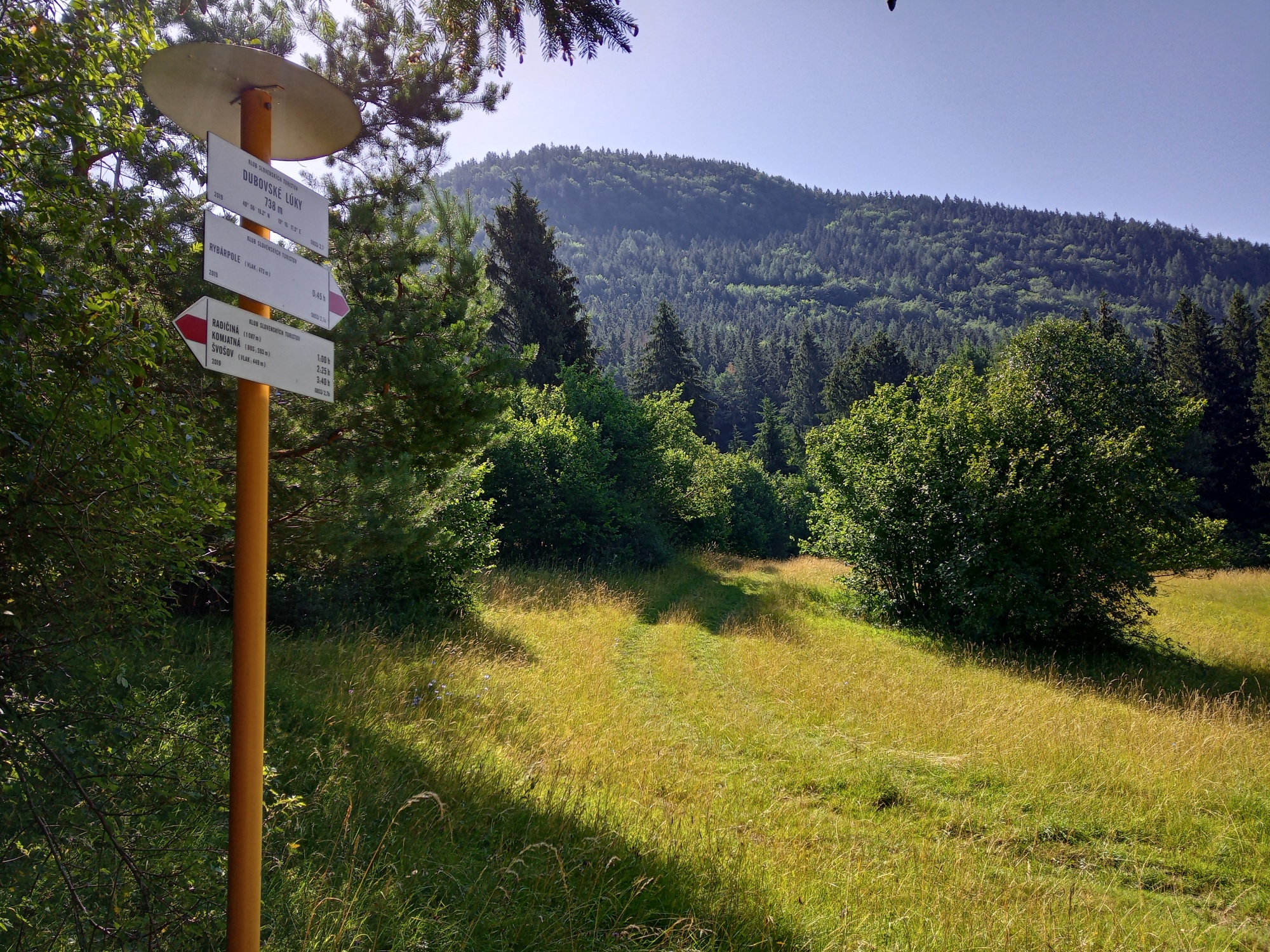
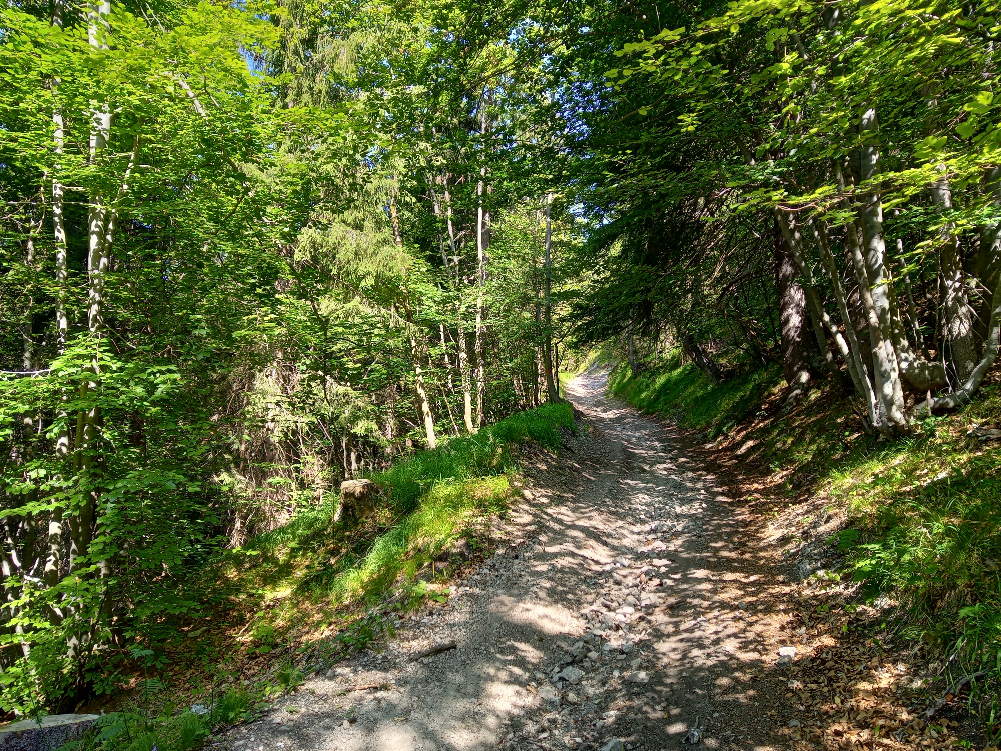
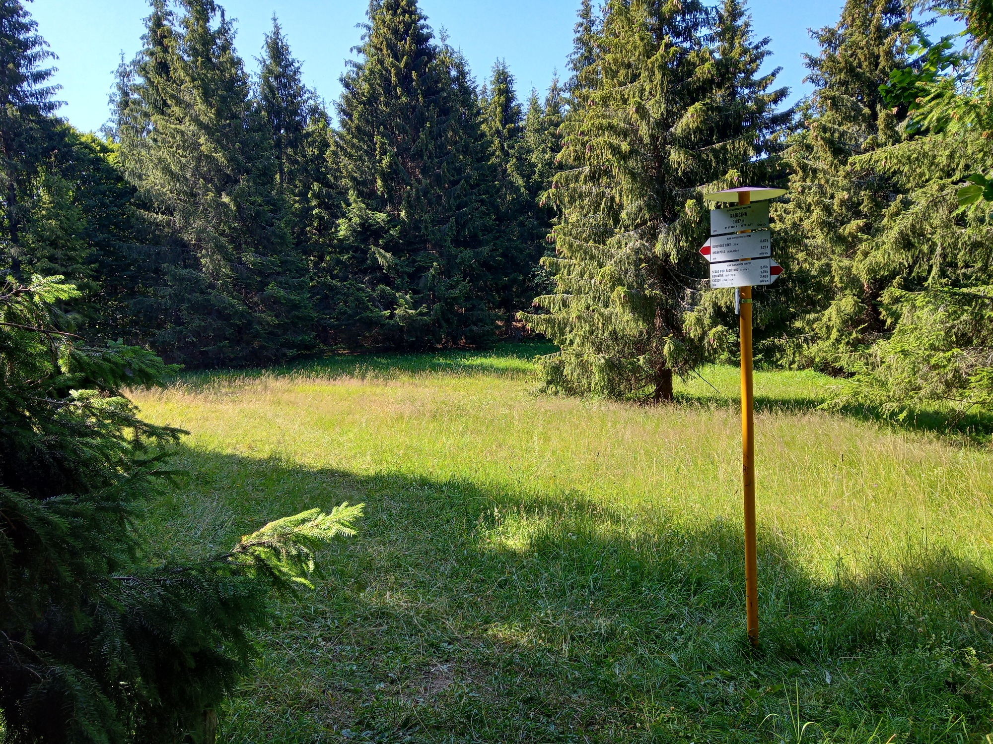
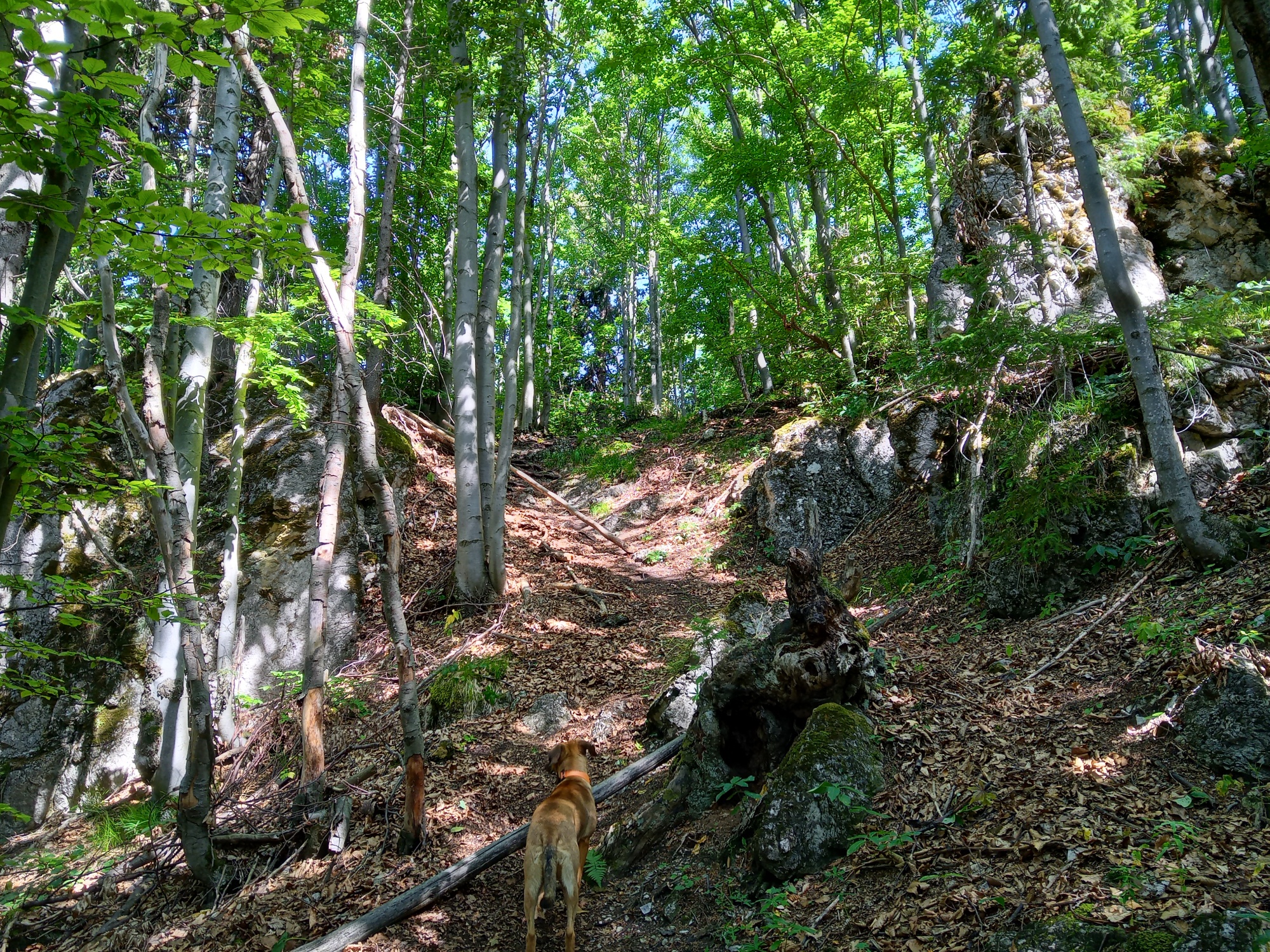
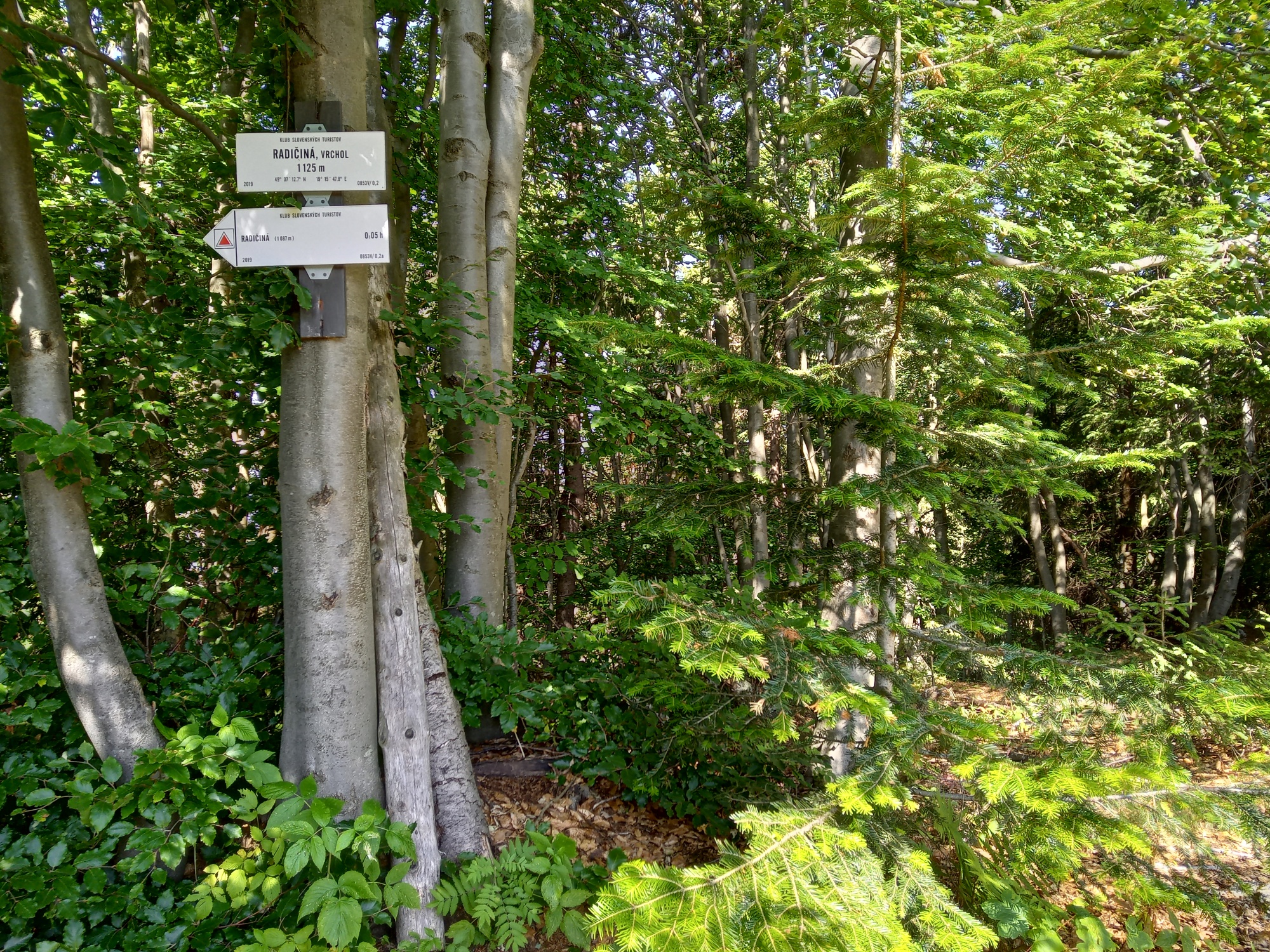
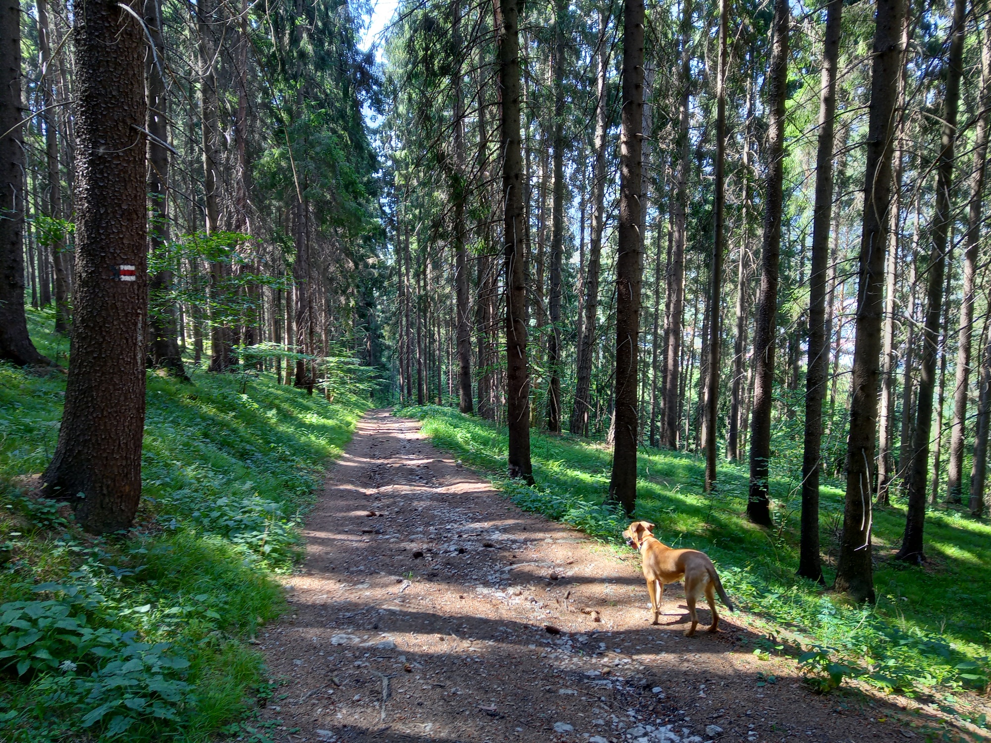
The route to the summit of Radičiná starts in Ružomberok, Rybárpole and continues through a commercial forest to the Dubovské lúky meadows with traditional haystacks and a view over the majestic Veľký Choč mountain. The route then steeply climbs through the woods to the saddle and a glade with a fire pit. From there, it is only a short walk to the summit of the Radičiná mountain (1127 m n.m.), where you can enjoy a view over the Liptovská Mara dam.
You can also approach the Radičiná mountain from the opposite side, from the Komjatná village, Studničná part. You can park in Ružomberok, Rybárpole or in Komjatná. The route is accessible by bus and train. Ružomberok – Rybárpole stop.
If you wish to have refreshments before or after the hike, there are plenty of dining options in Ružomberok.