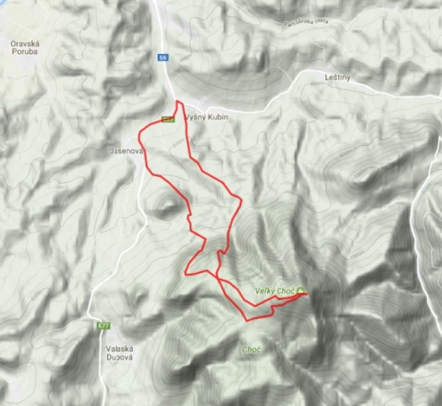


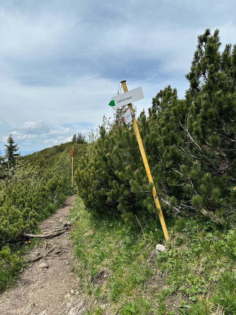
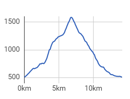
Detailed route description
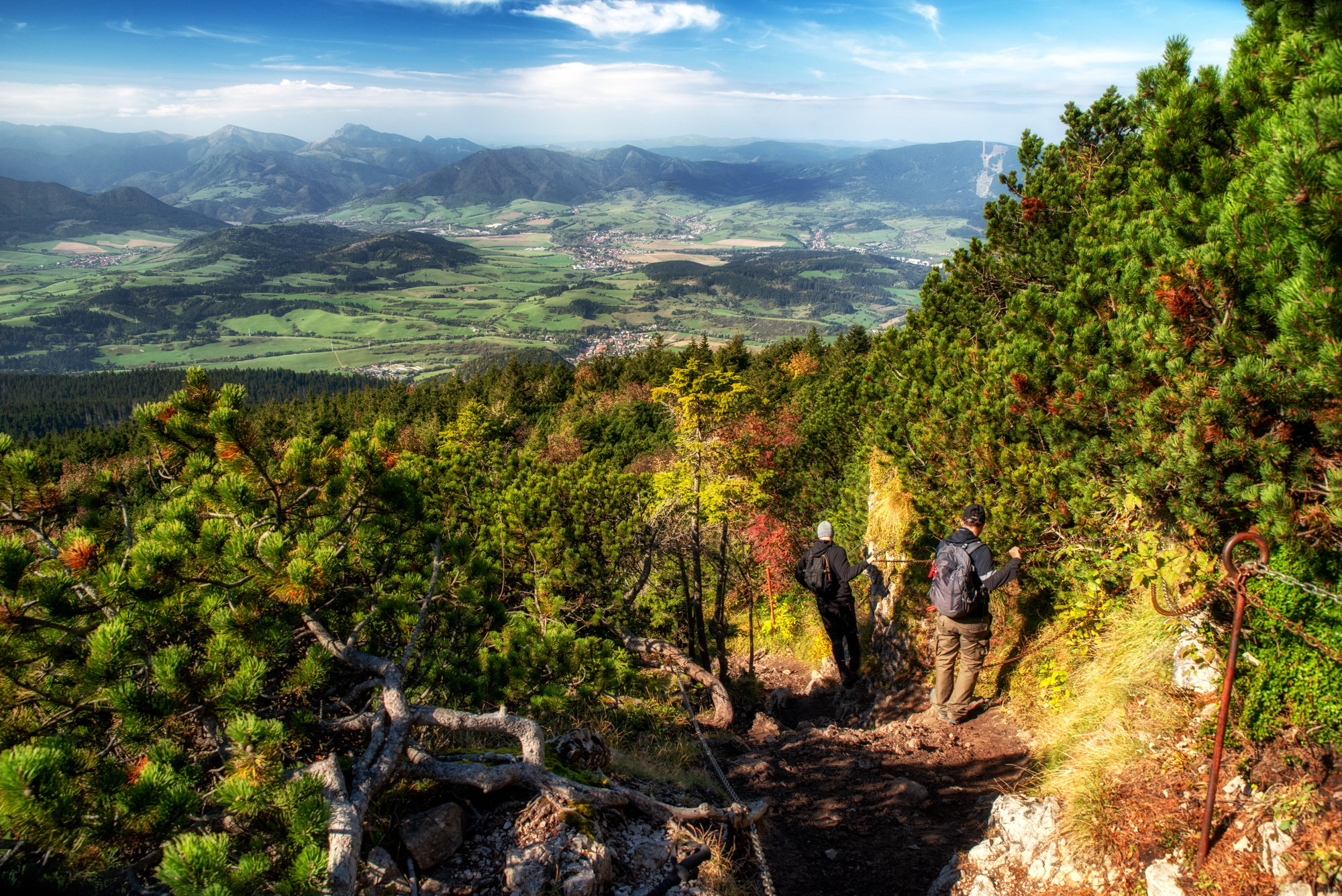
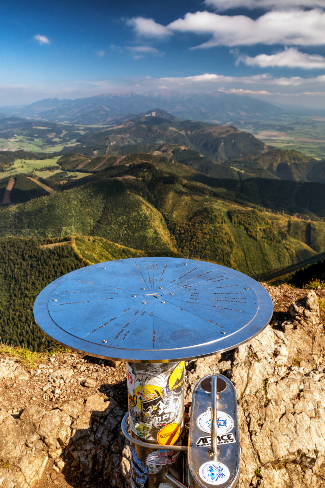
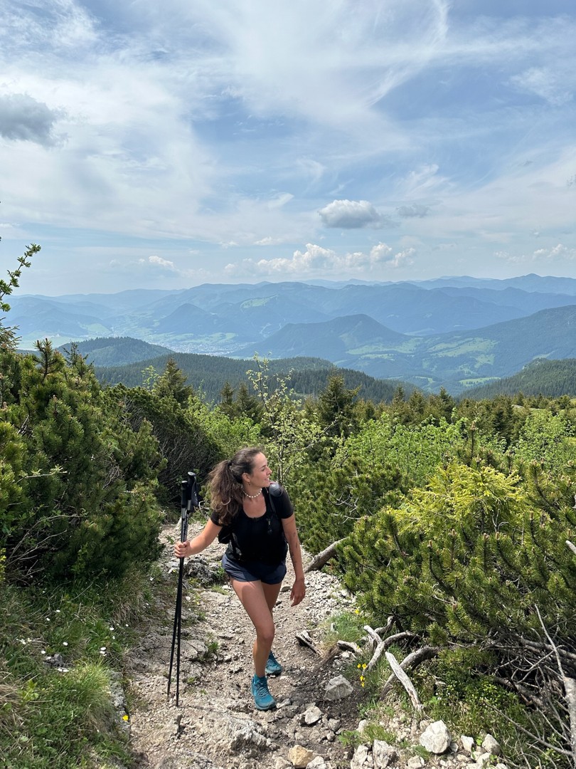
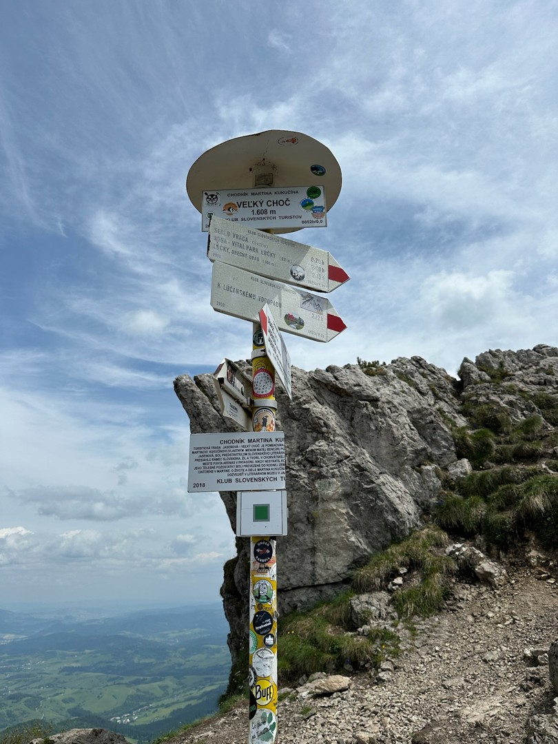
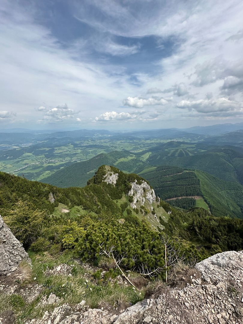
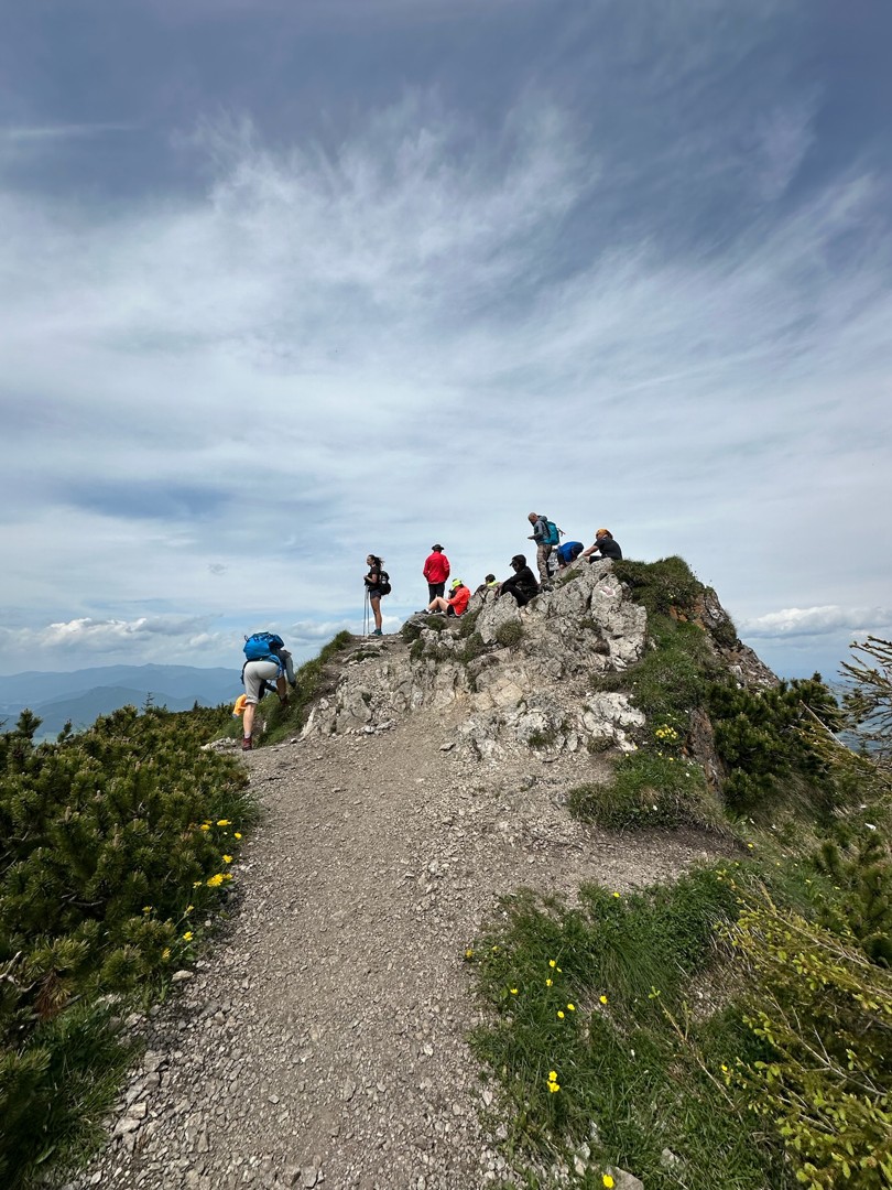
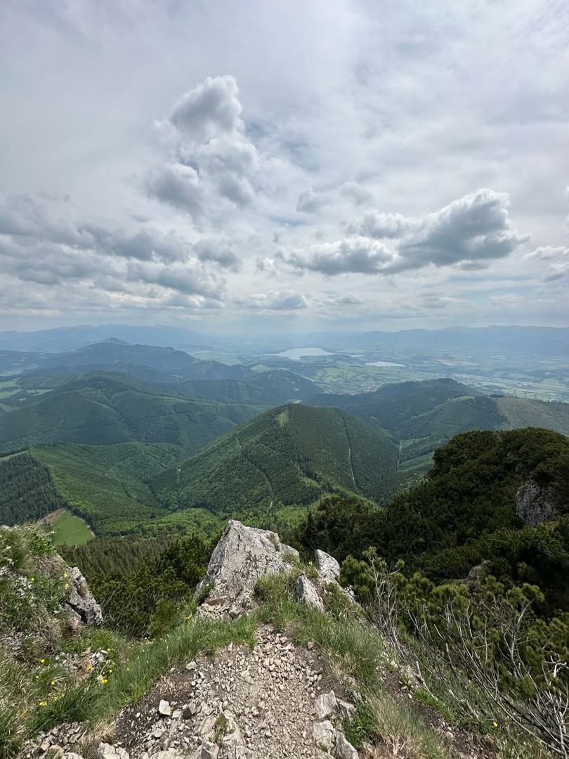
This alternative circular route to Veľký Choč starts in Vyšný Kubín. Veľký Choč (1607) is a unique mountain, whose location and height make it a perfect vantage point offering an unusual view of the Western Tatras as well as beautiful birds´-eye views over Liptov and the Orava part, dominated by Babia hora and Pilsko..
Accessibility and parking
Starting point: 49.182446; 19.314591
There are free as well as paid parking lots in Vyšný Kubín.
Take a train or a bus to Ružomberok and then get a bus to Vyšný Kubín.
Accommodation and food facilities
There are several accommodation options available in the town of Vyšný Kubín and also in the nearby towns of Dolný Kubín and Ružomberok. There also are hotel restaurants and snack bars where you can dine in both summer and winter.