
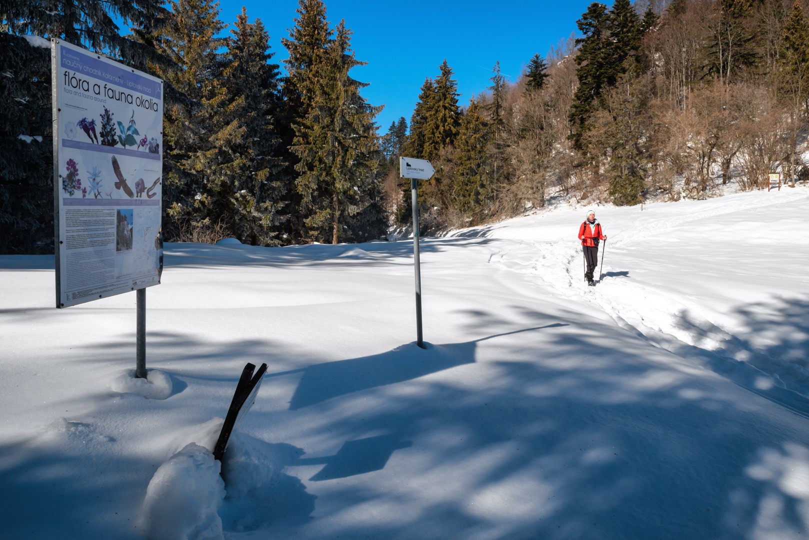
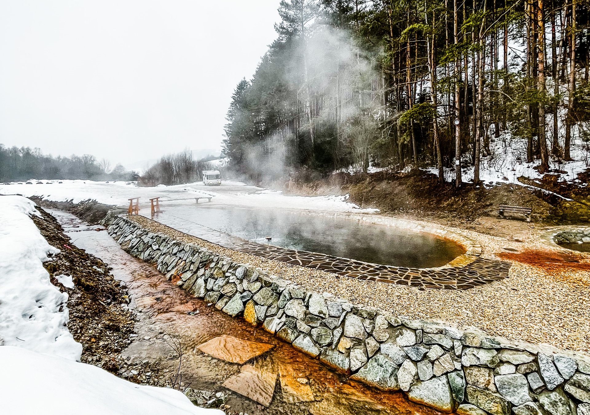
We leave the car in the car park at the church in the centre of the village. From there, we take the asphalt road and walk for about 20 minutes to the thermal lake. The way is pleasant, with Veľký Choč mountain peeking out at us to the left from behind the houses. To my amazement, the road is quite busy. The thermal lake is evidently popular, and so there are quite a few cars and even a caravan parked on the narrow road.
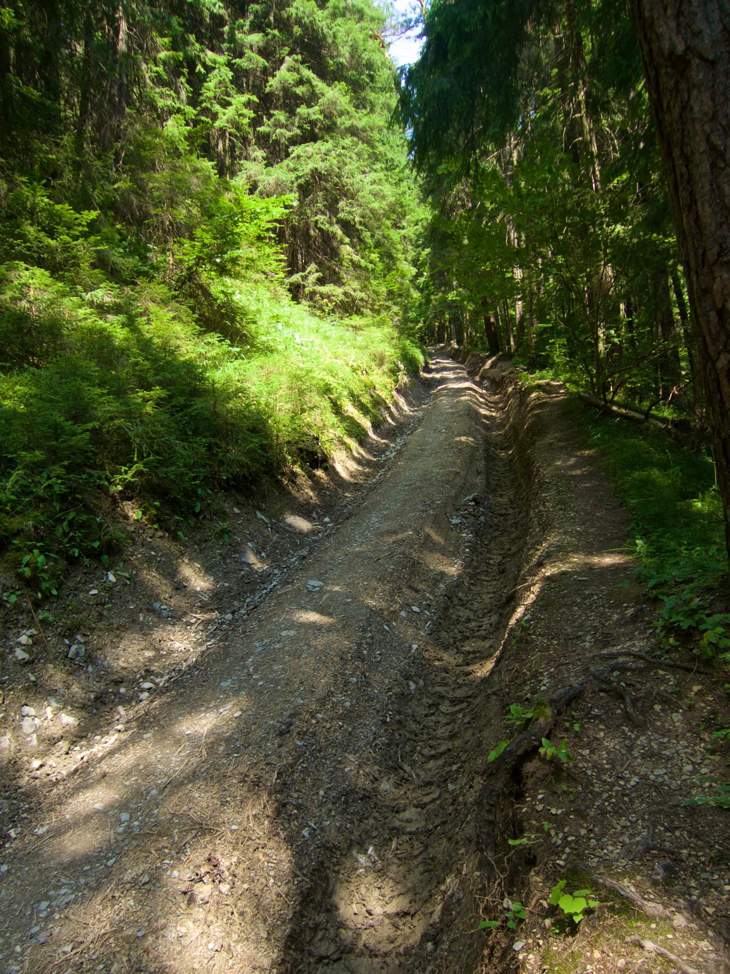
We continue through a nice valley alongside a stream, under tall conifers. We start looking for a right turn upwards. We are tempted by a forest path, and in two minutes I am exploring a meadow with a trail, but this is not yet the one we want. We return to the asphalt and soon turn right onto the yellow hiking trail. We are greeted by a wheeled forest tractor and behind it an incredibly muddy trail. On the right I see a path through the forest, but I don’t want to climb over the logs and jump over the stream, so we continue along the trail, interested to see where the markings will take us.
The path continues winding in the same direction as the trail, so we return to it for now at least, yet sometimes it disappears, so we break through the bushes and return to the trail, then to the path again. Some horseflies find us. I kill them quickly, but not before they bite.
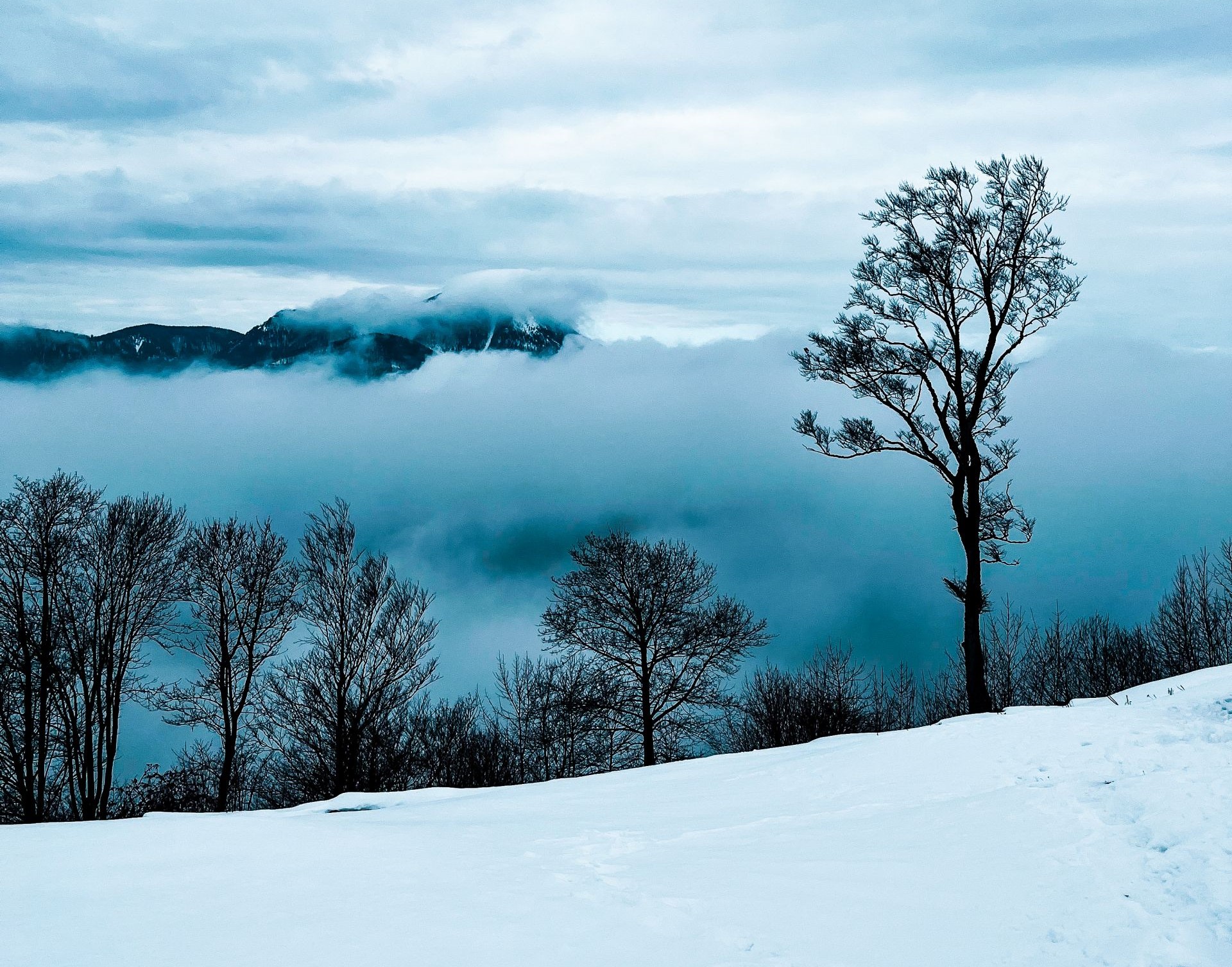
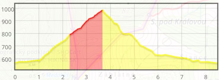
There is gradually less mud, and so we end up walking along a forest trail with deep rutted tracks. After about 40 minutes, we see a grassy saddle. It’s beautiful here and we immediately feel much better. On the right I see our hill, and so we head across the meadow to its foot and then lay out a small picnic in the shade on the forest path. The view of Sielnická hora mountain is beautiful, and now all that remains is the last hike to the castle. The path is steep. Below the summit we meet a Czech couple doing the same walk.
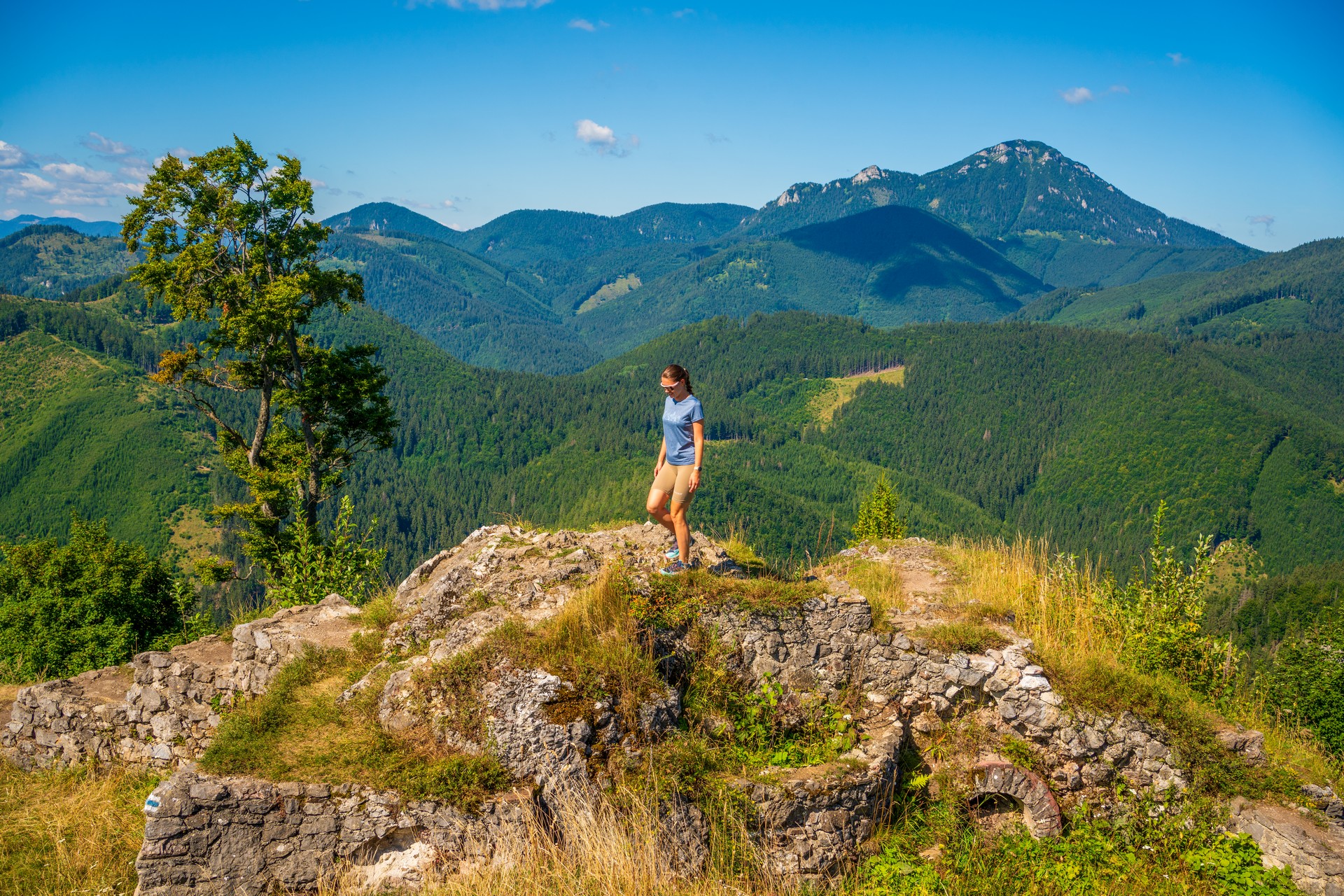
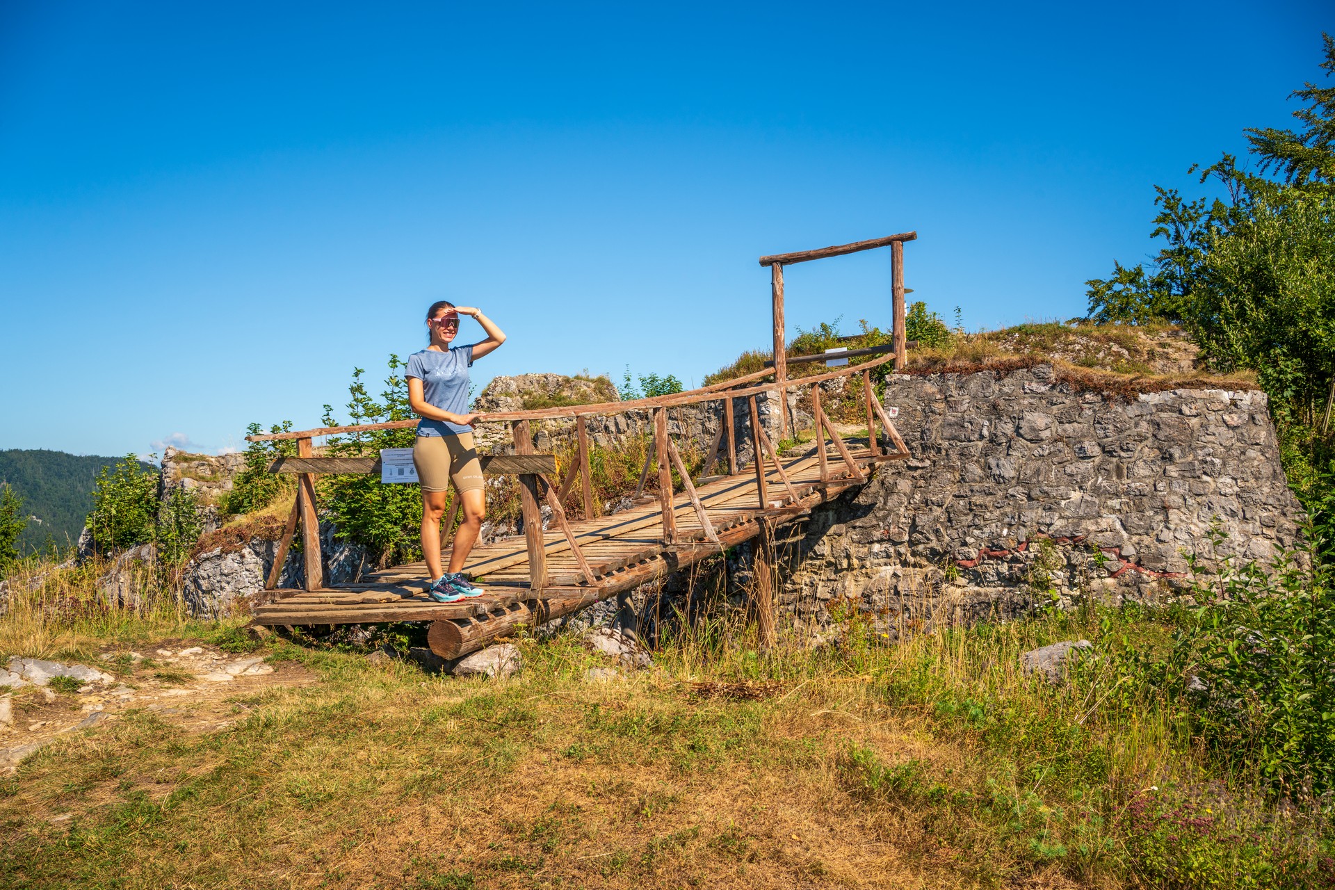
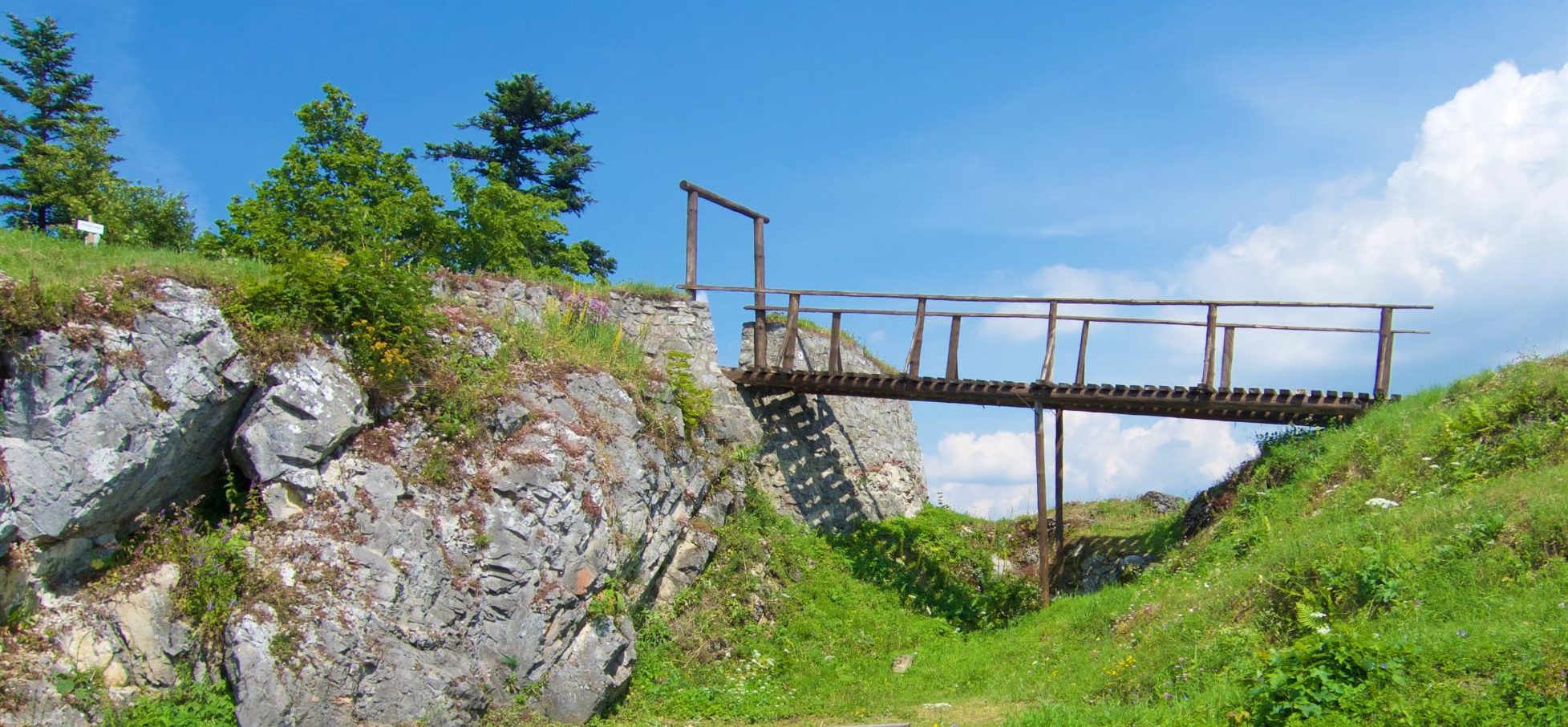
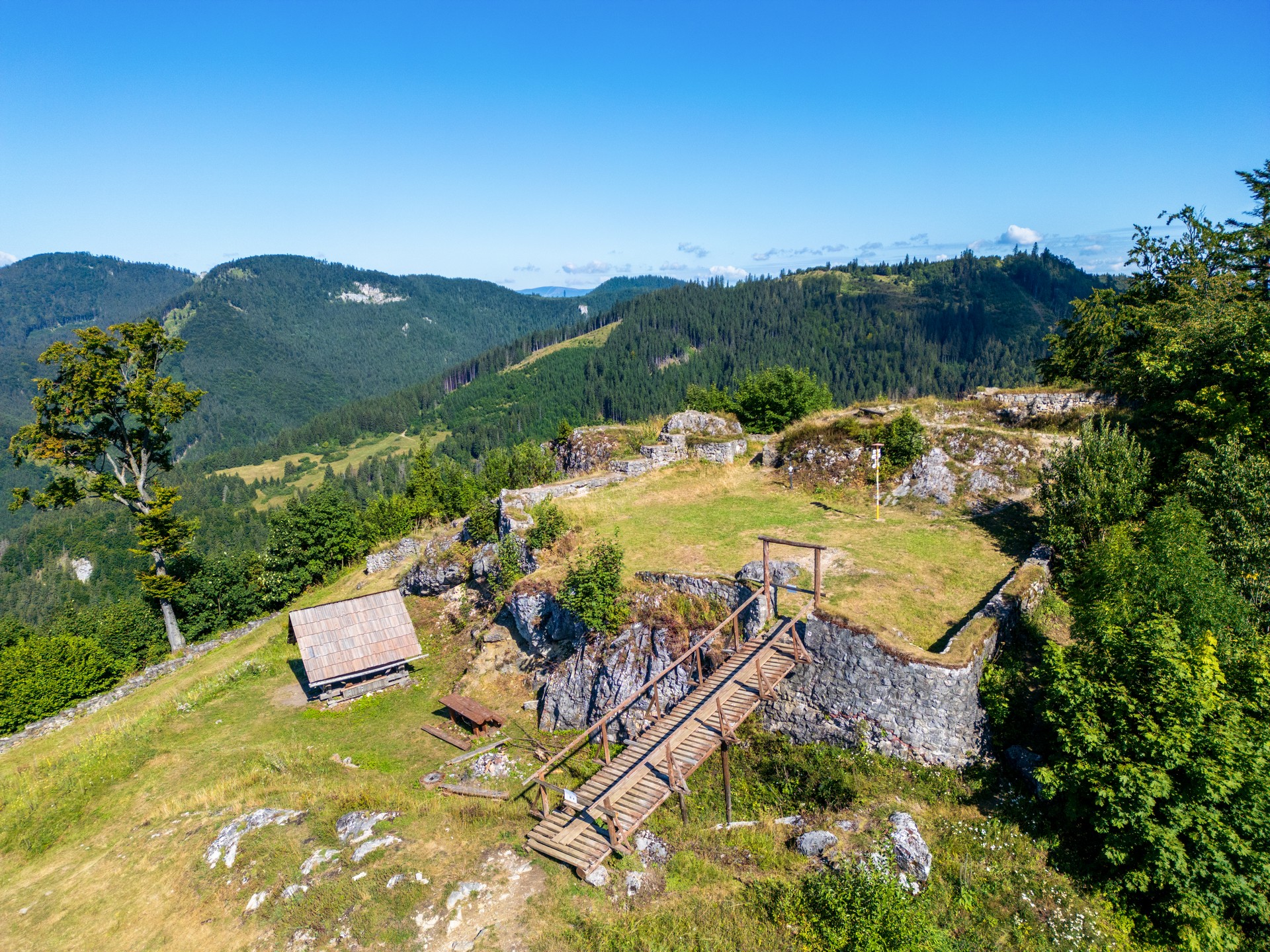
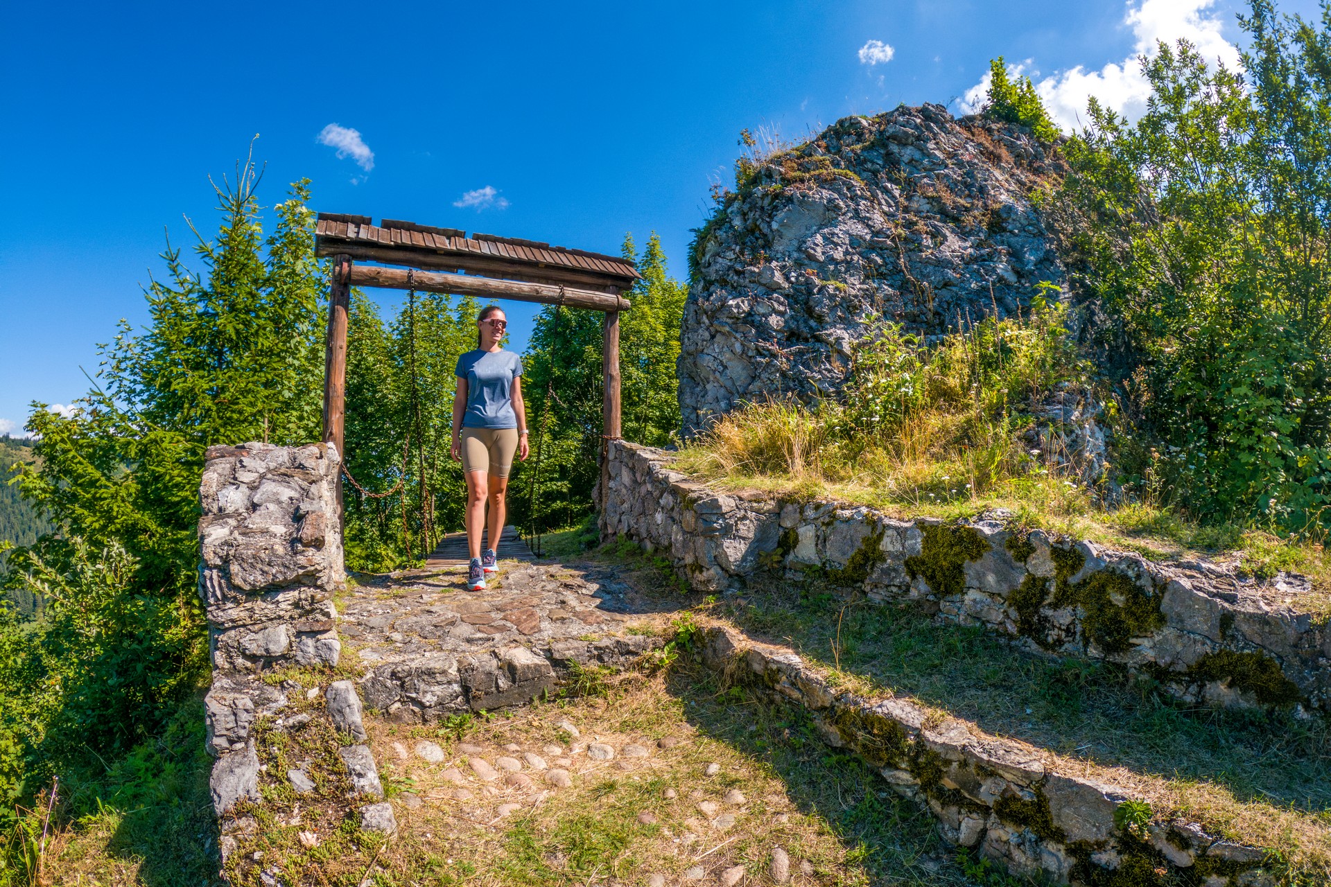
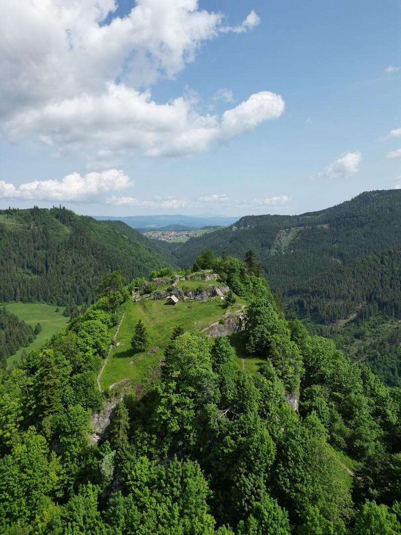
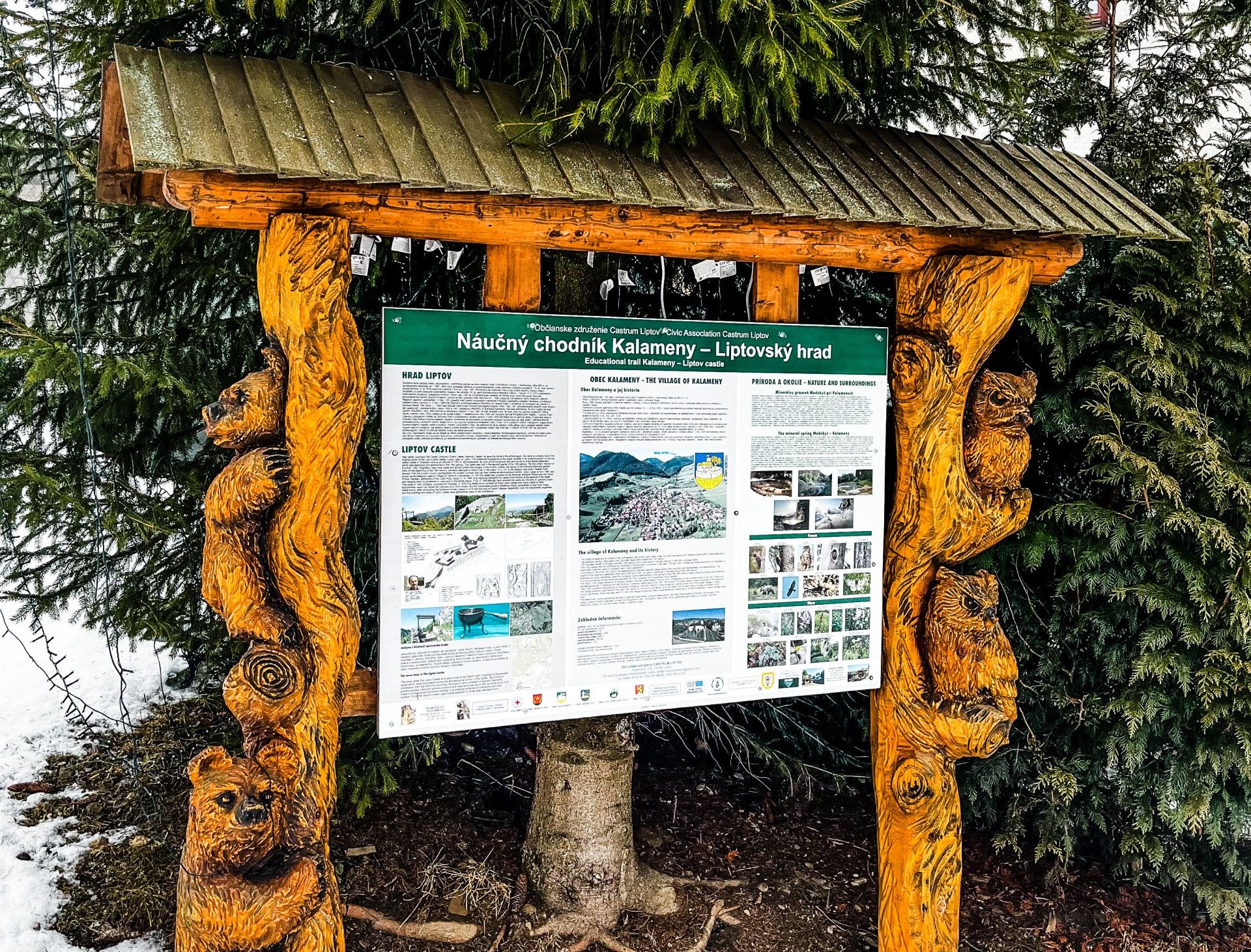
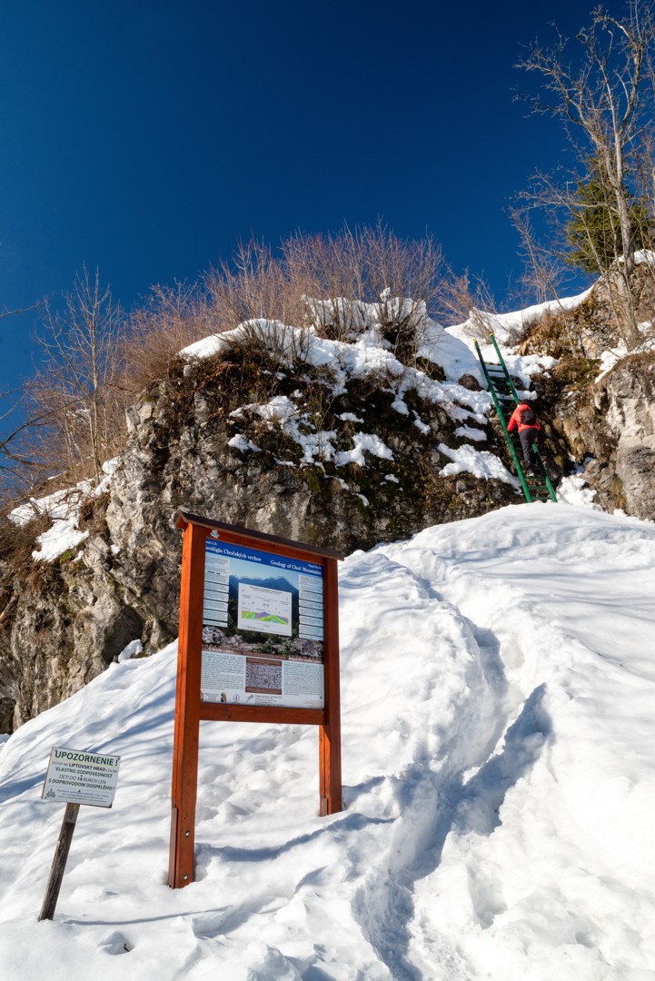
Soon I see the first castle wall and we are at the highest point of the hike. The castle grounds are beautiful, although there is not much of the walls left. From the notice board we learn that the first mention of fortifications dates back to 1262. Its difficult accessibility was its main advantage in terms of defence. The castle was protected by steep slopes from the south and west, while the northern and eastern parts were protected by the Sestrč cliff face. The fortress had several owners, the last being the Liptov and Orava district governor Peter Komorovský. He was also one of the leaders of the uprising against King Matthias Corvinus. The king remained in power and, in retaliation, the royal army demolished the castle down to its foundations in 1471.
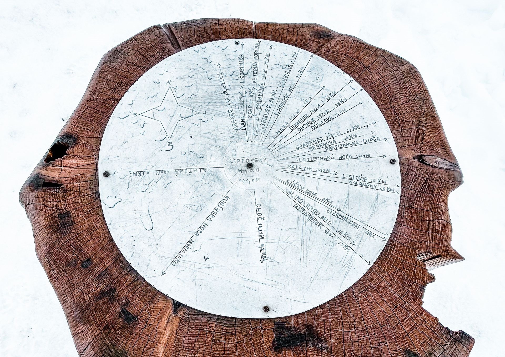
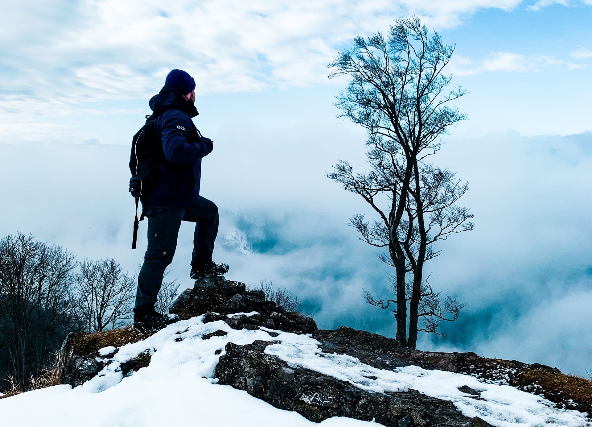
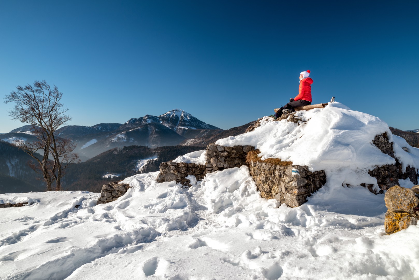
We climb all over the castle and then take a rest at the highest place in the shade under a small conifer. It was rather windy, but there is a beautiful view of the Liptovská Mara reservoir and Pravnáč mountain.
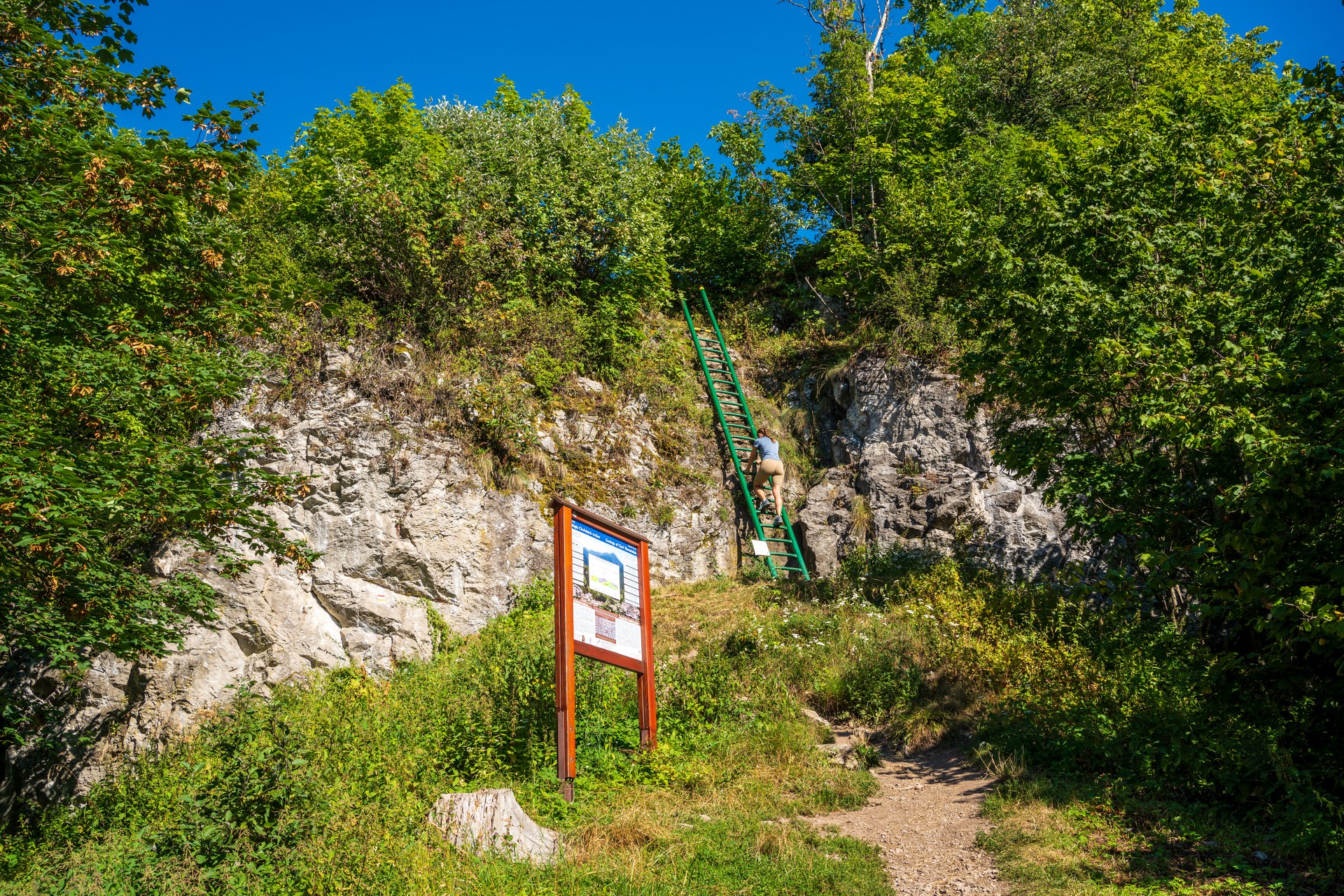
We have been alone here for some time, which is a surprise. Although it is the middle of the week, it is still the holidays. Before long, however, more tourists arrive to take pictures of us, and on the way down we meet eight more. We investigate about three more caverns in search of a geocache and then start descending, albeit reluctantly.
Logging is underway just below the ladder, there are smelly tractors and a cable car. Fortunately, I don’t see any extensive clearings and I don’t have to answer questions again about why we are cutting down nice trees and making mud. We head down the slope, getting a little confused after descending the steepest hill as we don’t know whether we should be going right or left. Going left, we find ourselves following both the yellow and red trails at the same time. They bring us to the saddle below Kráľová. From here we continue through an extensive meadow – this part of the hike is very beautiful.
We stay at the lake for about half an hour. There are quite a few people here, but there is room for everyone. The water is quite shallow and pleasantly warm.
I rate the hike a good one. It is just a pity the forest trail is damaged from the logging. I recommend that those coming after us take the parallel forest path, and perhaps the forest workers could come up with a more tourist-friendly way of removing timber along the tourist trail, especially in such a visited region. (www.hiking.sk)
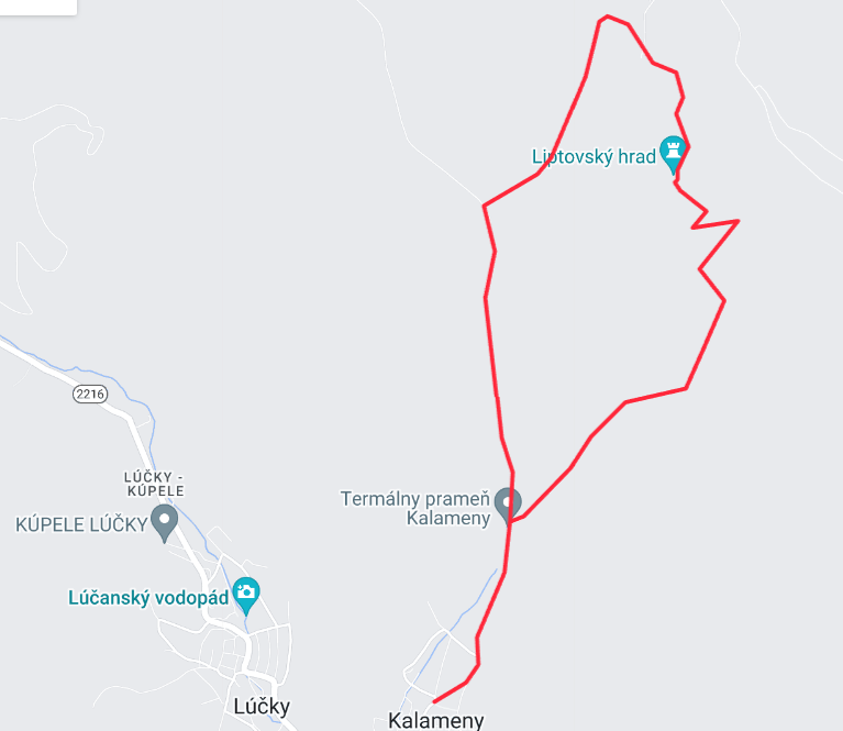
Start location: 49.125907, 19.414413
Free parking is available in the village.
By train or bus to Ružomberok and then again by bus from Ružomberok to the village Kalameny.
There are several accommodation facilities in the village of Kalameny and the nearby village of Lúčky. There are food options available in both summer and winter in the hotel restaurants and buffets.