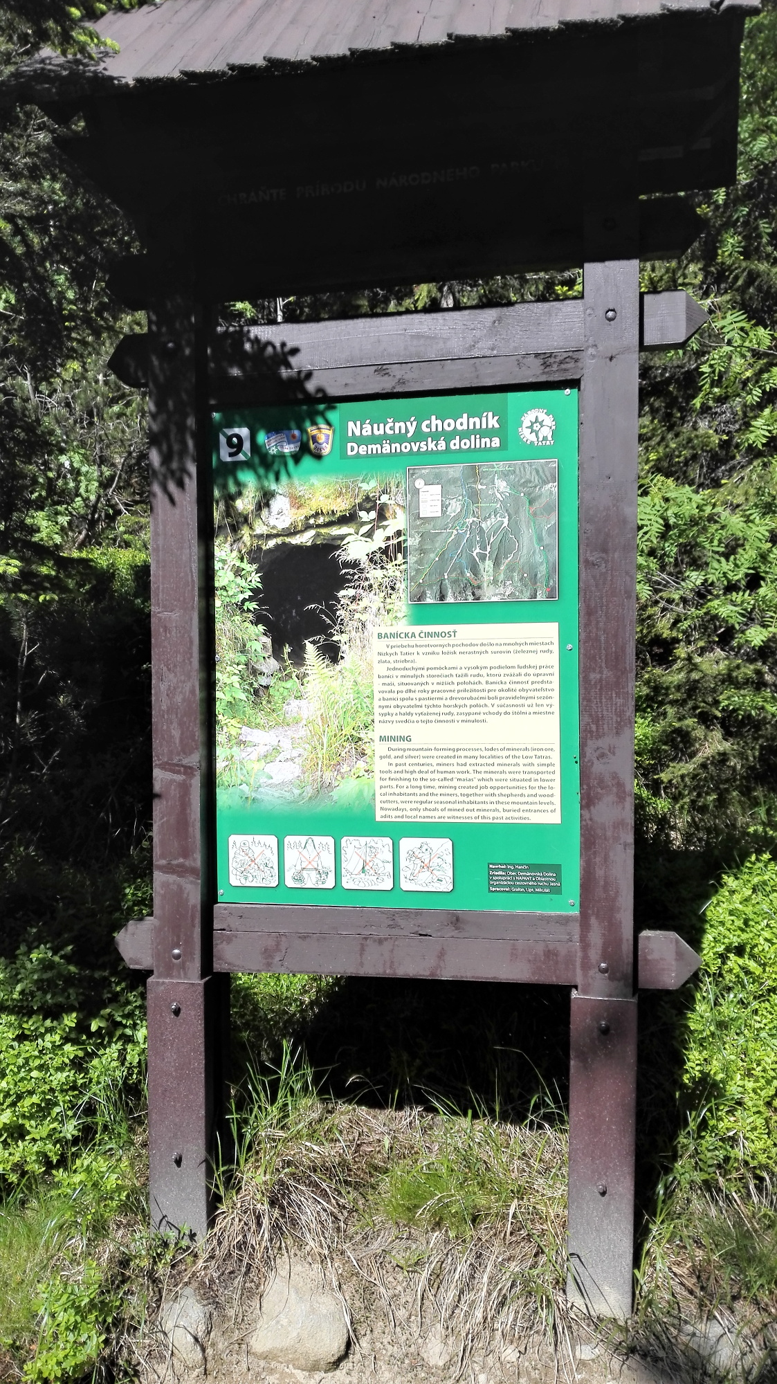

A bidirectional linear trail with 12 information panels focusing on nature protection, biology and history acquaints visitors with flora and fauna, documents the development of relief as well as anthropic influences in the most visited central part of the Low Tatras. The trail is suitable for intermediate tourists. It is a part of marked hiking trails and may be completed in less than 5 hours. A respective part of the nature trail is also accessible by a mountain bike.
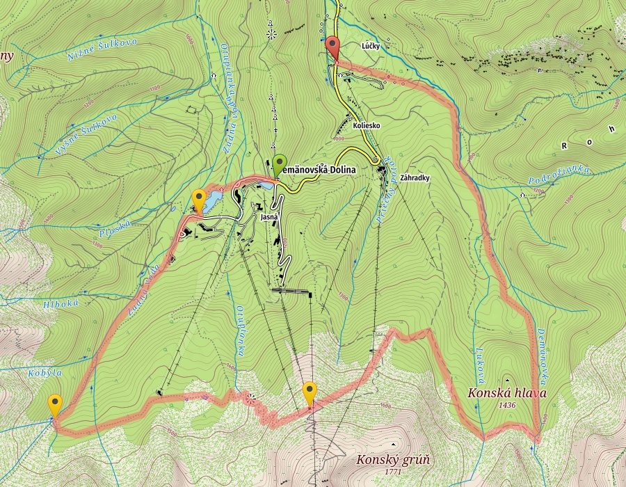
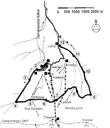
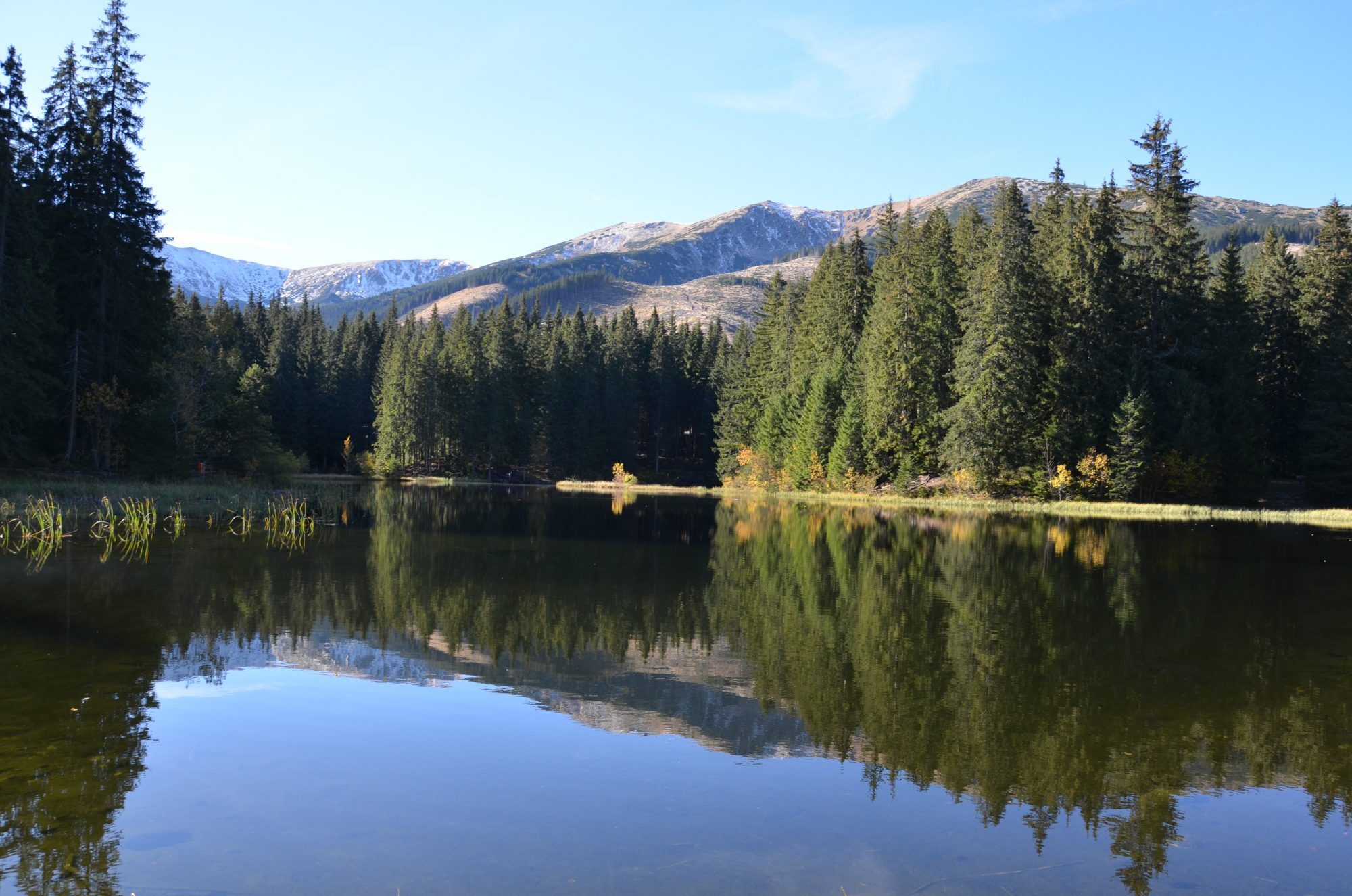
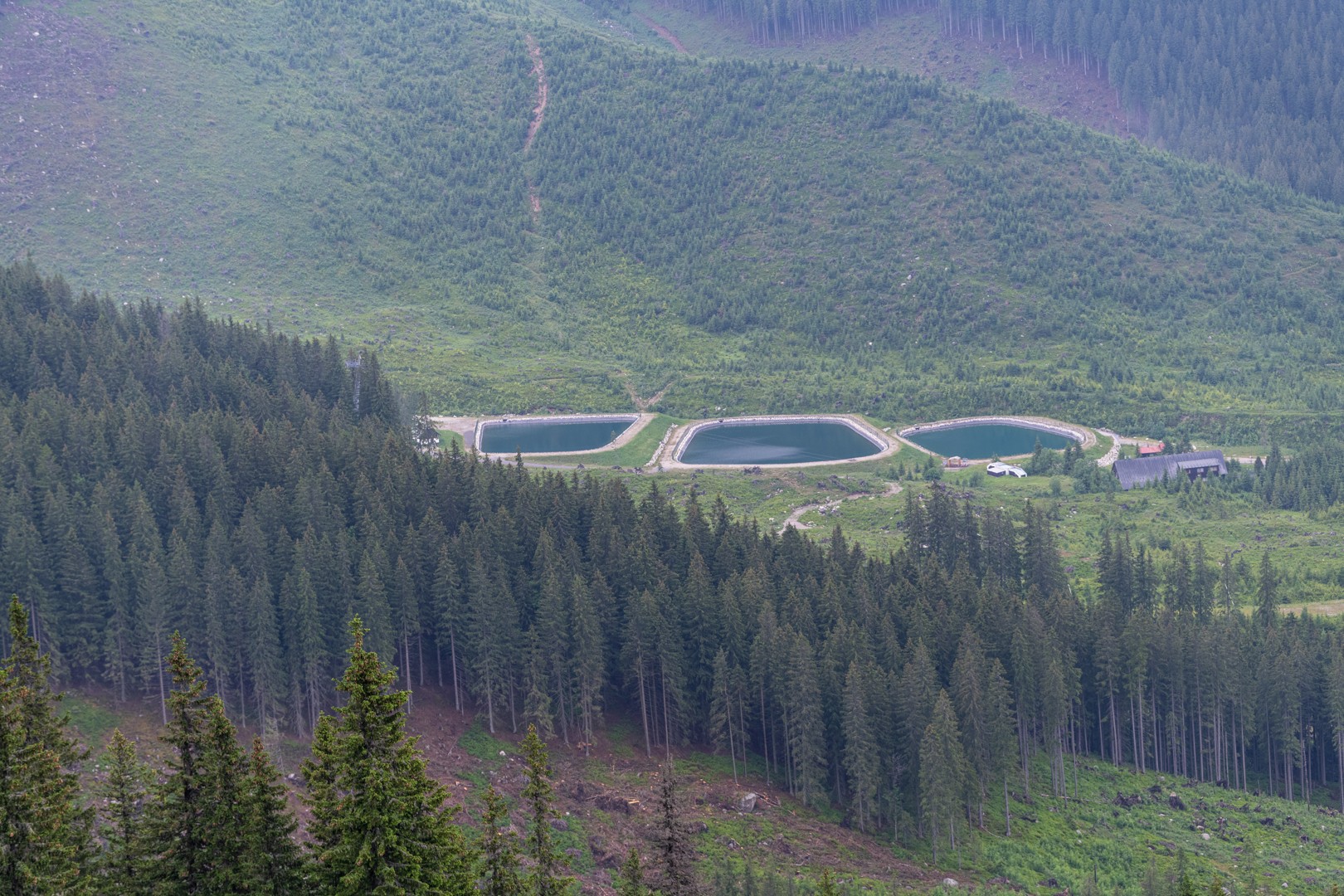
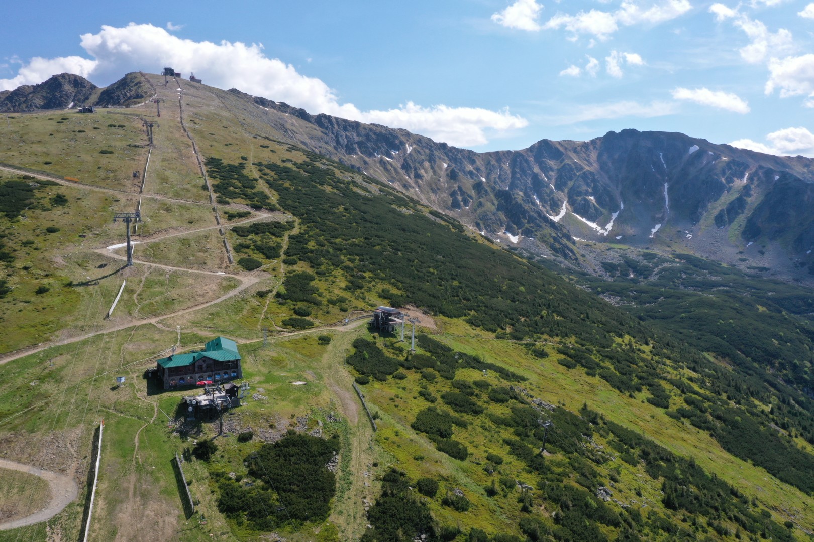
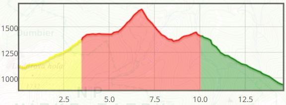
Start your journey at the parking lot in front of the Grand Hotel located in the recreation area Jasná, east of the mountain tarn Vrbické Pleso (1102 m asl). Walk around the natural mountain lake along the northwest path until you come to the cottage of Mikulášská Chata. Besides the nature trail boards beneath Mt Otupné, follow the yellow tourist signs. Along the stream of Zadná Voda, you will climb up the valley of Zadná Voda to reach the fork of Tri Vody (Three Waters) (1370 m asl.), where you turn left onto the red marked trail. You will head out on the traverse along the difficult slopes of the main ridge of the Low Tatras in the Demänovská Valley. The trail slightly ascends through the northern wooded hill of Mt Dereše up to Mt Brhliská (1430 m asl.) at the upper station of a cabin cable car. The trail is slightly ascending after crossing the ski slope, and from the fork of Pod Orlou Skalou (1460 m asl.) it starts ascending more steeply. The serpentines run through scrubland onto the slopes of Mt Chopok. There is an inclined traverse that starts behind the last bend and ends at the lower station of the chair lift from Jasná to Luková. From there, the trail mostly just descends. The first section of the descent down the slope will lead you to the chairlift intermediate station (1500 m asl.) from Záhradky to Konský Grúň. From there, it further descends along the edge of the scrubland to the mountain peak of Pekná Vyhliadka (1360 m asl). Then the tour profile changes. The trail turns right and traverses through the slope to a fork in the valley of Široká Dolina (1390 m). Here you will join the green marked trail which will lead you down along the stream of Demänovka and through the valley of Široká Dolina to the fork of Pod Krčahovom (1040 masl.). Discovering the natural wonderss of the Demänovská Valley is finished at the cottage of Lúčky (925 m).
Regular bus service is available on the route Demänovská Valley and Liptovský Mikuláš, which is relatively well-timed to meet the tourists´ needs. Both the starting point and finishing point are situated directly at a bus stop. There is also a spacious car park. Parking is free of charge.
Situated at the beginning of the nature trail by the mountain tarn of Vrbické Pleso, there is the cottage of Mikuláška Chata, where you can refresh yourself. Another possibility is at the end of the trail, in the locality of Lúčky. Gastronomic facilities in the locality of Luková which are approximately half-way along the trail are not open in the summer.
The widest selection of accommodation and gastronomic facilities within the Liptov region is directly in the Demänovská Valley.