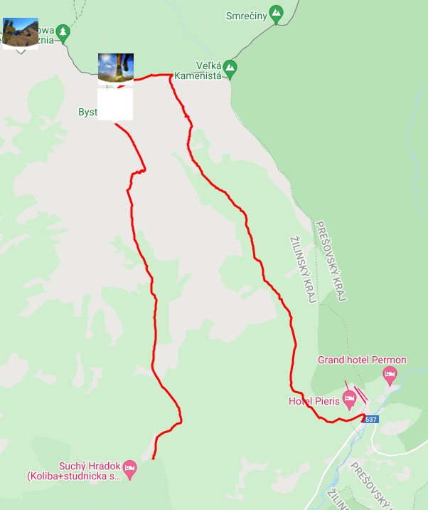
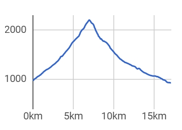
To the top of the highest point of the Western Tatras Bystra we can go from three valleys, from Kamenisté valley from Podbanského, from Bystra valley from the settlement Hrdovo to Gáborova valley, which separates from Račková valley. The most frequently used route is probably the ascent from Podbanského Kamenista valley to the Pysne saddle where the blue marked path will lead us. From the saddle we continue along the border ridge (red) to Blyšť. The blue sign continues to the top of Bystra. From the top there is a circular view of the Polish part of the Tatras, Roháče, Western and High Tatras. The descent to the Bystra valley is along a yellow marked path, above the settlement of Hrdovo we connect to the red trail, which will take us back to Podbanske.
There is paid and free parking in Prybiline.
By train or bus to Liptovský Mikuláš or Liptovský Hádek and from there by bus to the village of Pribylina.- itinerary
In Pribylina there are several accommodation facilities that offer accommodation. Dining options are provided, whether in summer or winter, in the hotel restaurants or snack bars.