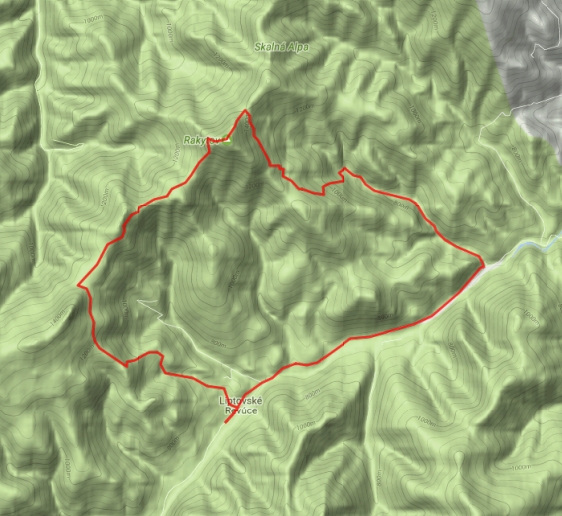

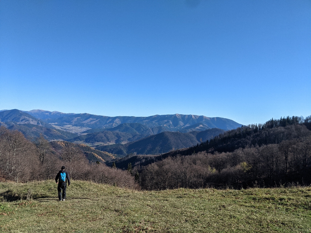
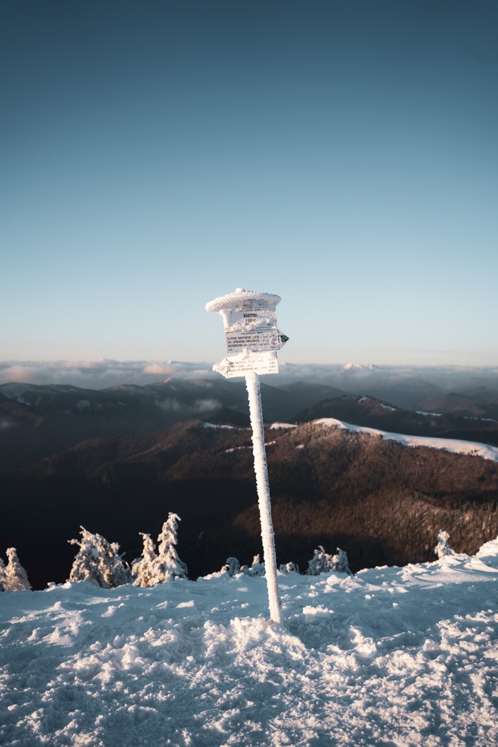
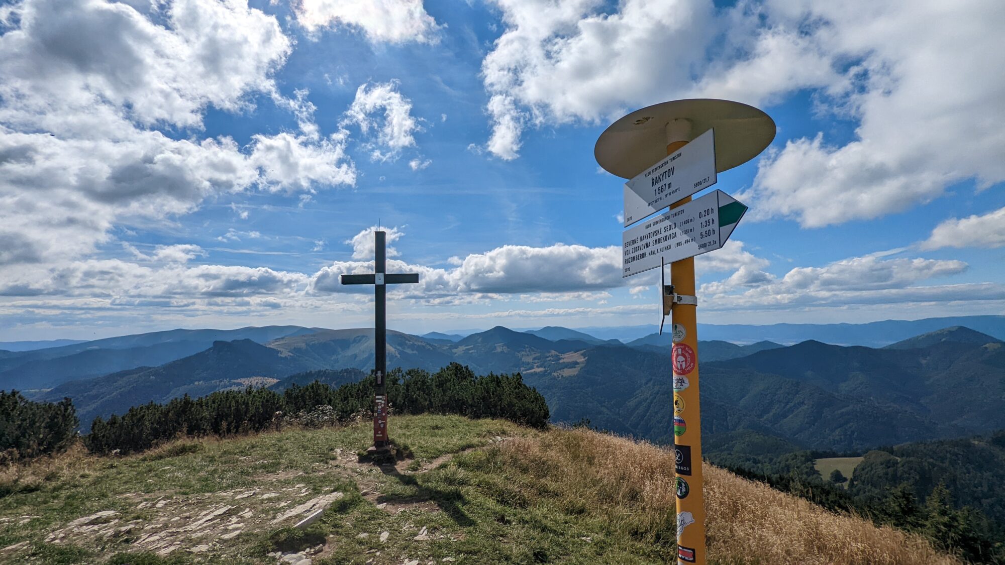
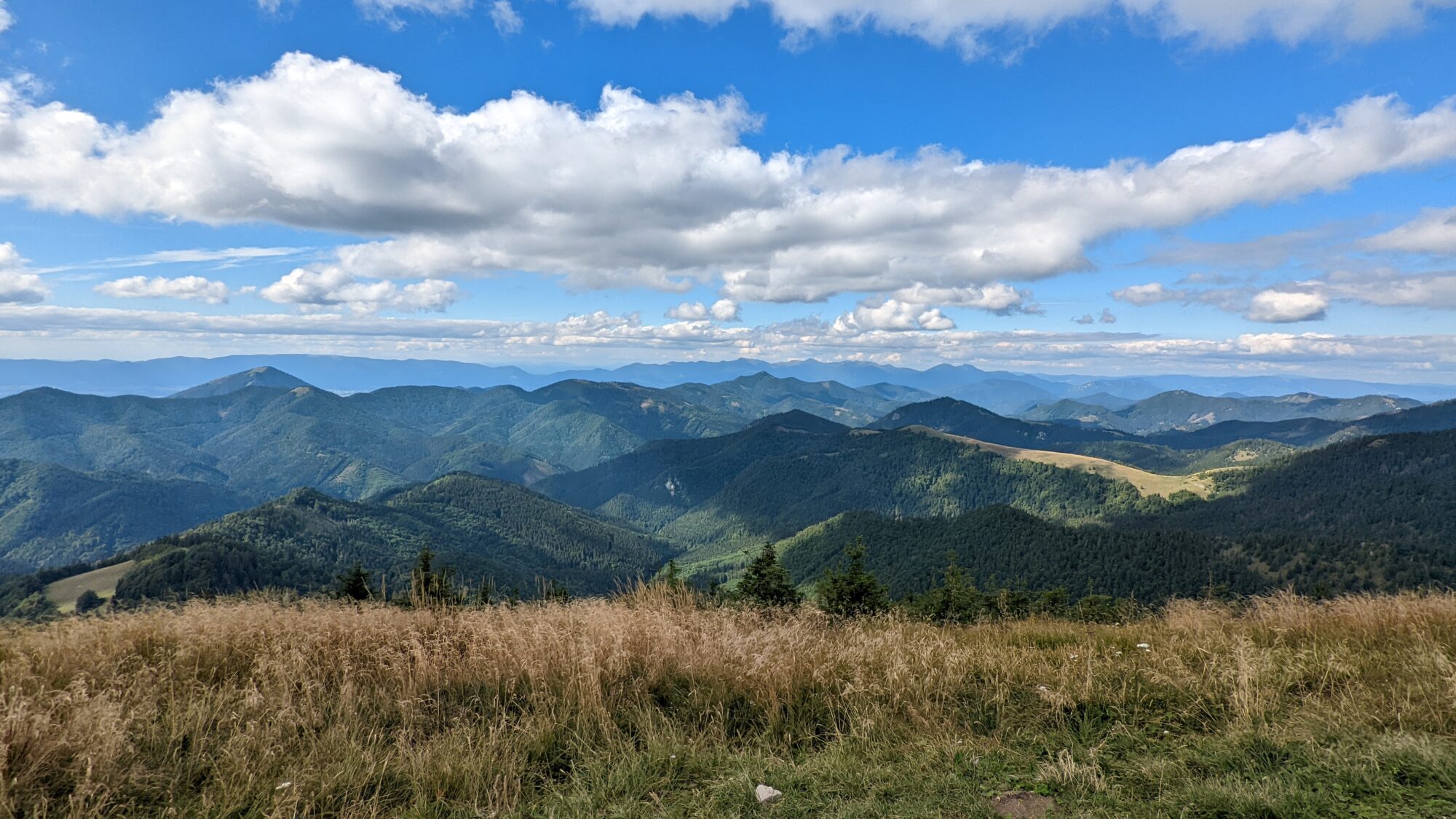

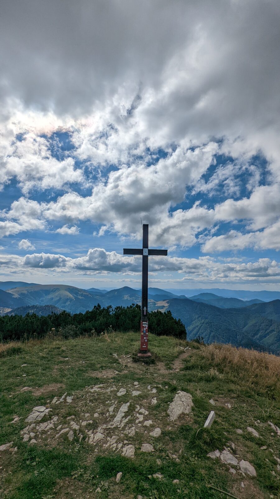
The route leads from Liptovské Revúce (Veľká Fatra) to the saddle below Čierny kameň, on past Minčol (1398) and Južné Rakytovské sedlo to Rakytov (1567). This dominant peak has a distinctive pyramidal silhouette and offers a beautiful 360° view of Veľká Fatra, the Low Tatras and, when there is good visibility, the entire ridge of the Western Tatras and parts of the High Tatras. From Rakytov we continue past severné Rakytovské sedlo to the Útulni Limba shelter, where you can purchase refreshments. The route continues through the Teplá dolina valley to the gamekeeper’s lodge and along the asphalt road back to Liptovské Revúce. (Source: Hiking.sk)
Starting point: 48.919088; 19.177596
Free parking is available in the village.
By train or bus to Ružomberok and then by bus directly to the village of Liptovské Revúce or with a transfer in the village of Liptovská Osada.
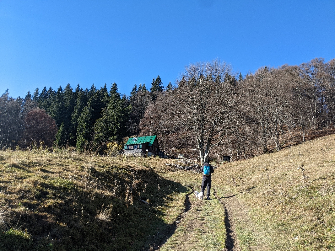
There are several accommodation facilities in the villages of Liptovské Revúce and Liptovská Osada. Food is available in both summer and winter, in restaurants, guest houses and snack buffets.