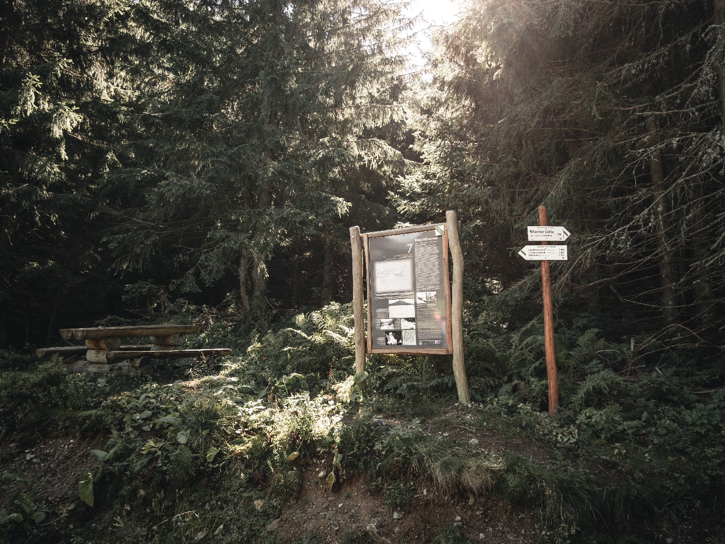
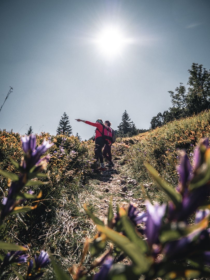
A mining trail has been opened to the public in the Ľupčianska valley. There are 11 panels along an 8.4-kilometre-long circuit trail marked blue and then yellow.
The trail is a part of the “Slovak mining route” project, which connect educational mining trails in Slovakia. As you walk, you will learn more about the mining industry, gold mining, antimony ore processing, rock processing as well as about wild nature.
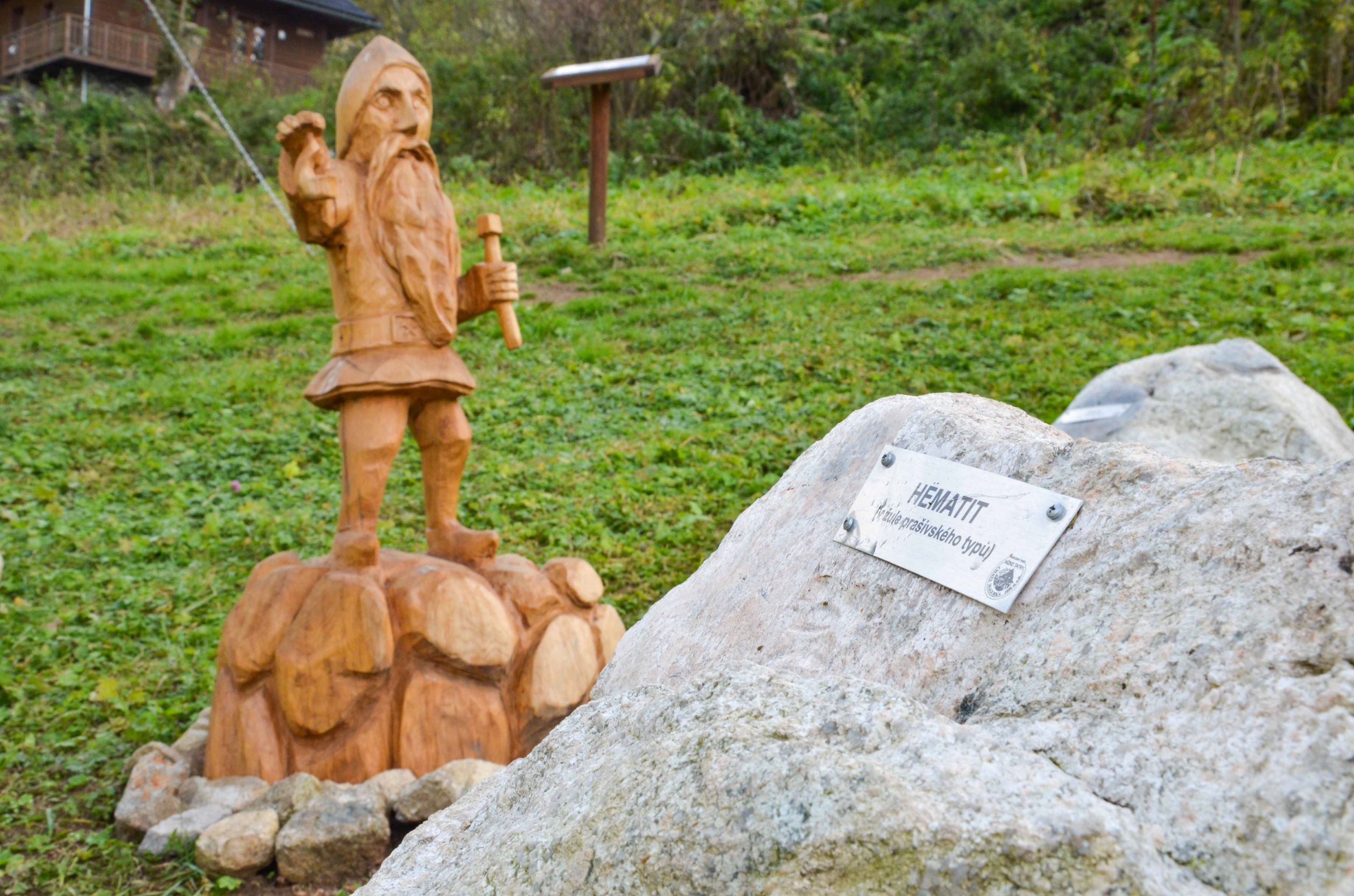
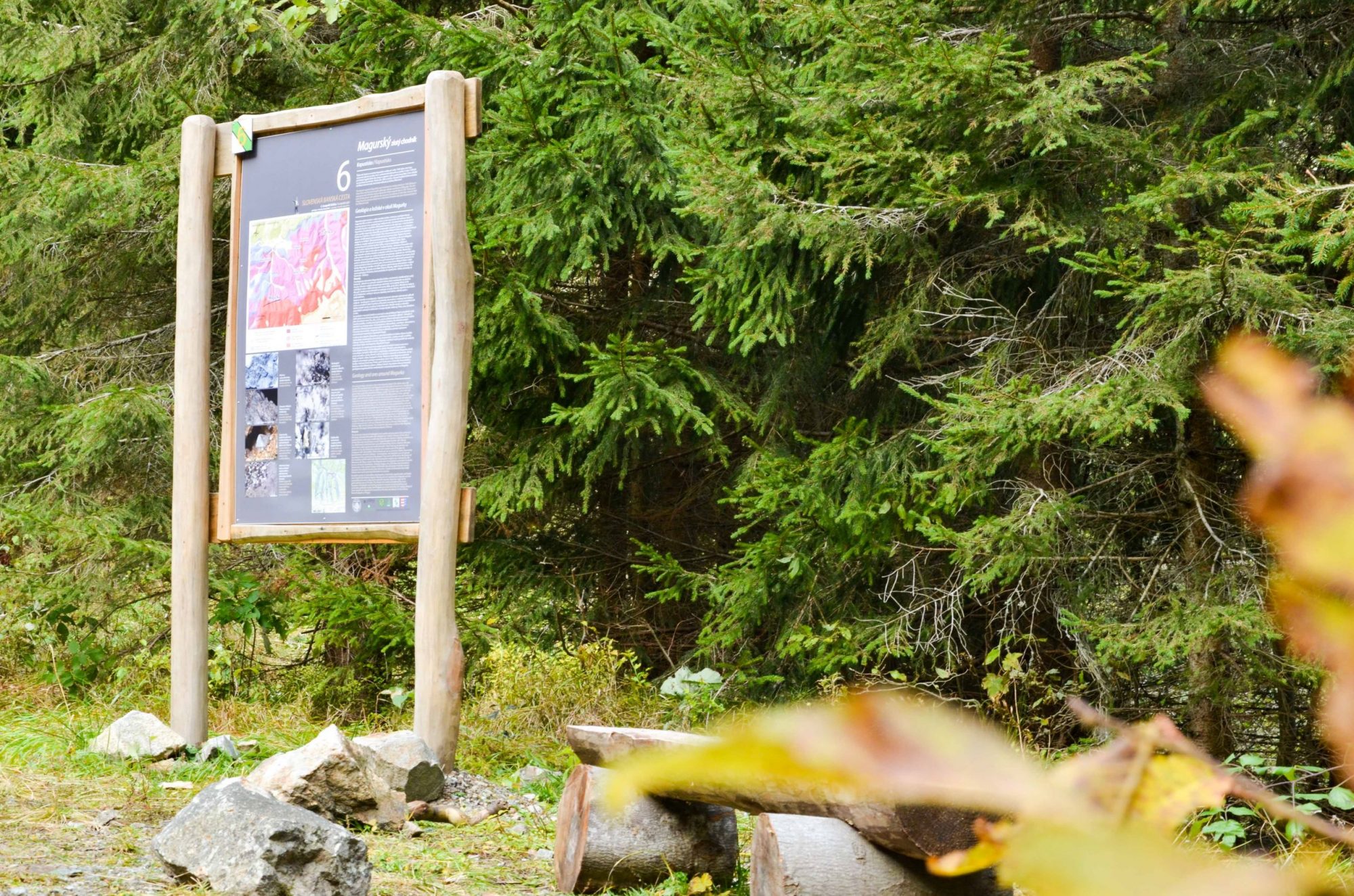
The author of the texts on the information panels is Martin Chovan, professor emeritus of the Faculty of Natural Sciences of the Comenius University in Bratislava.
Trail type
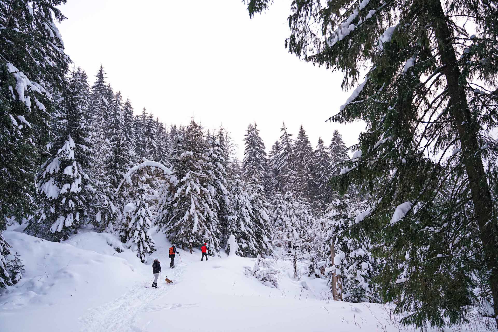
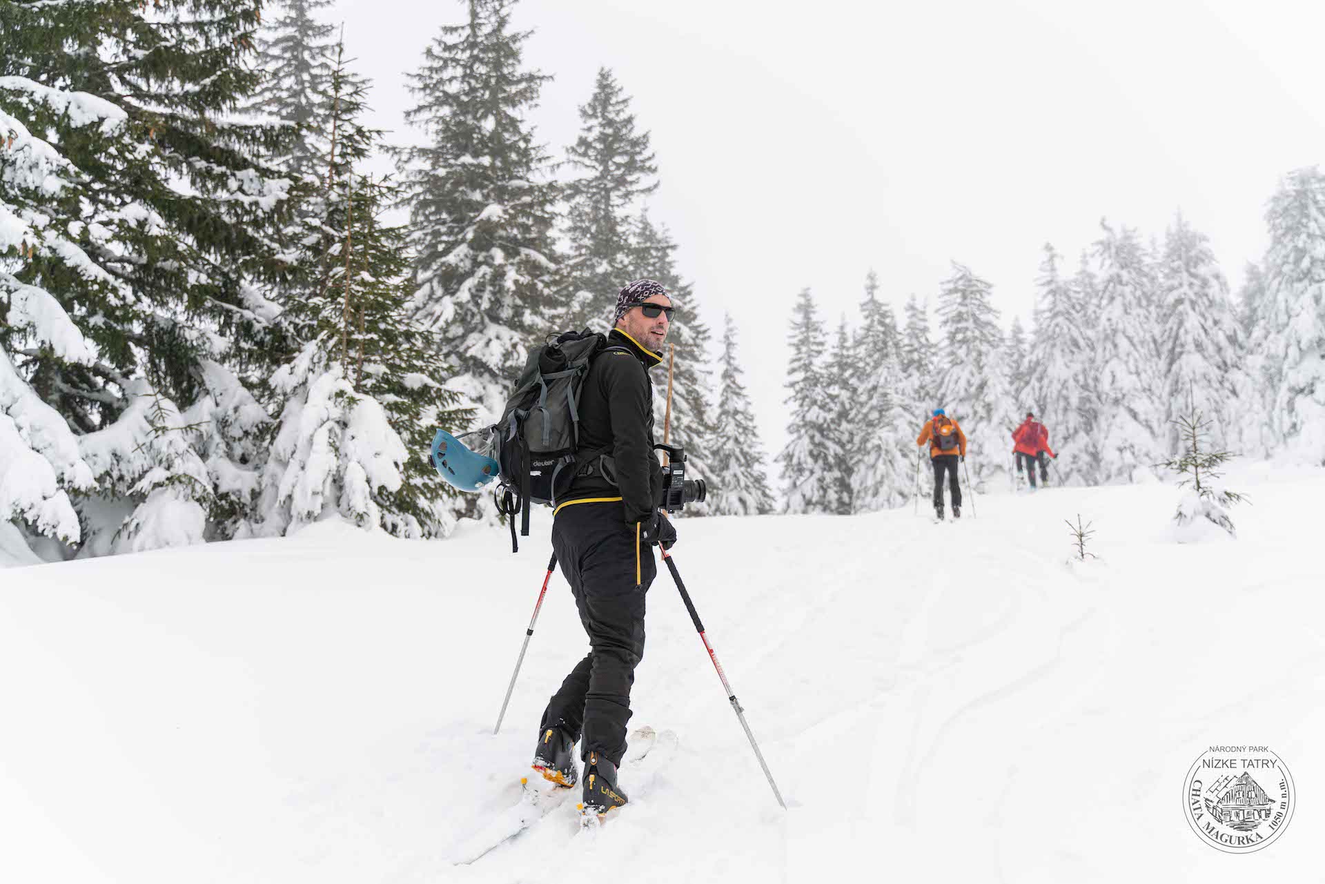
one-way, self-guided, year-round
Outdoor learning activities for schools
suitable for field trips and nature walks
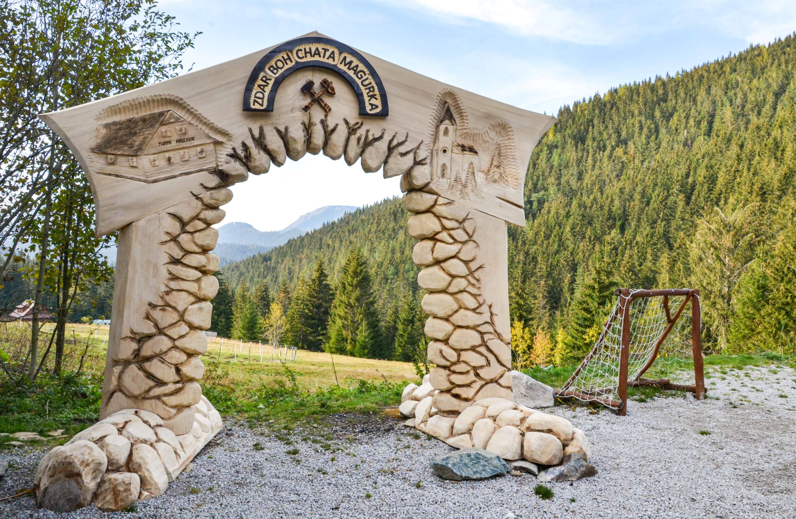
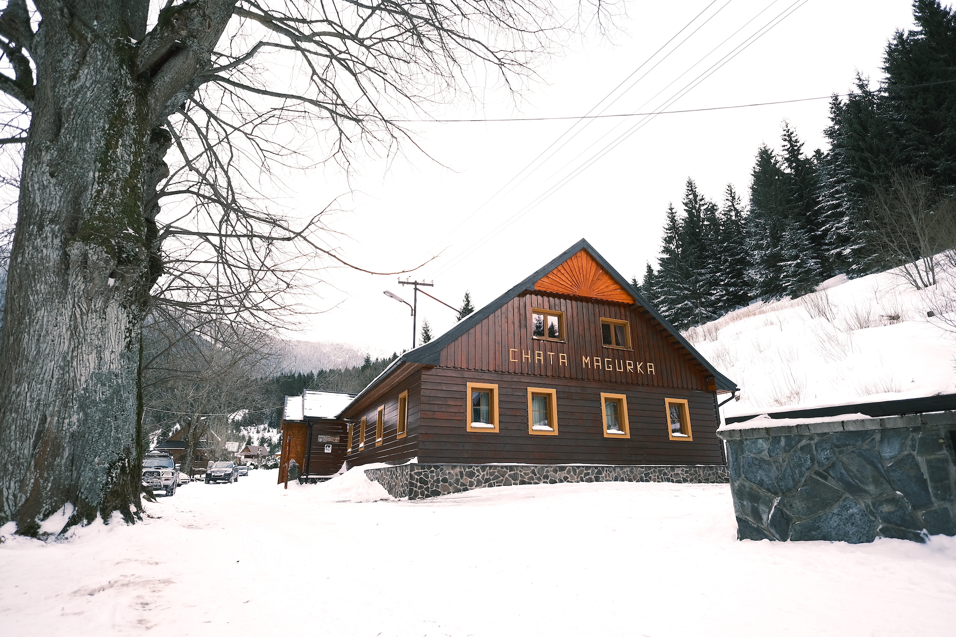
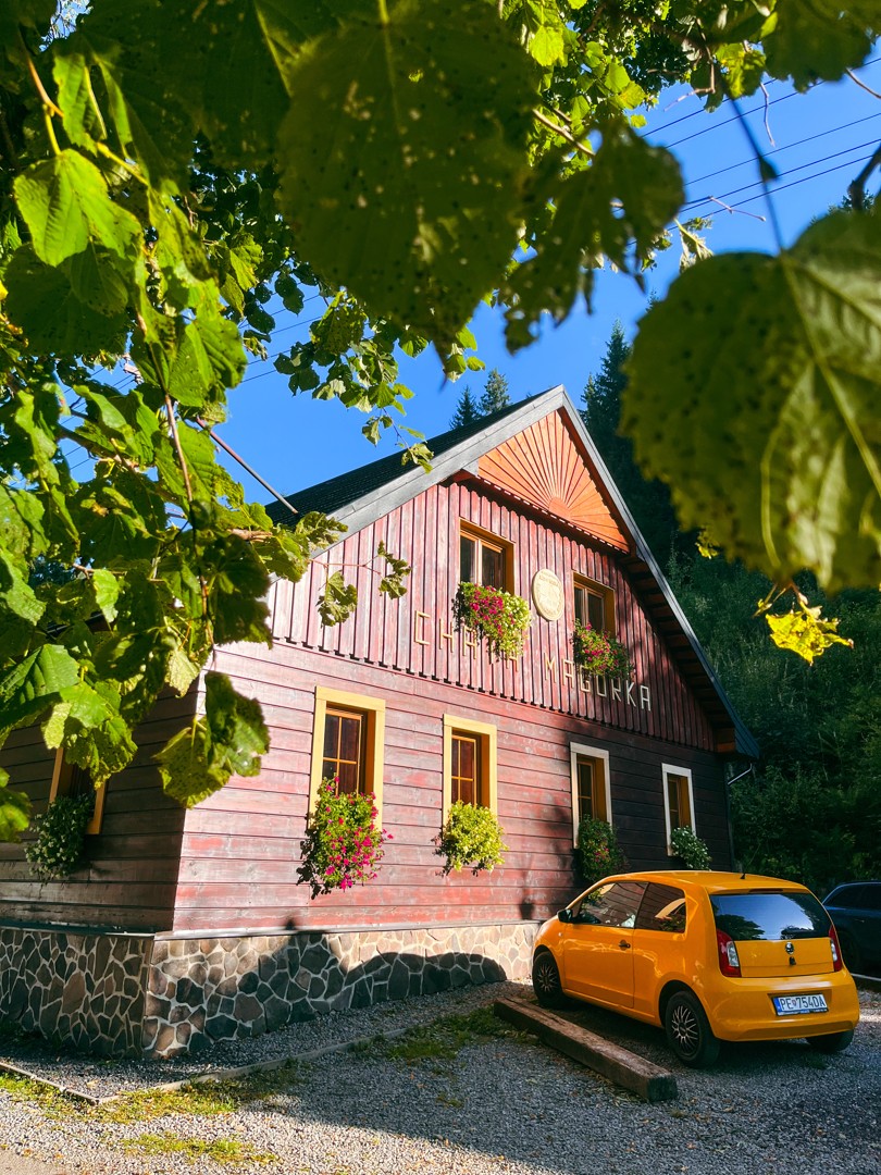
The construction of the trail was initiated and organized by members of the Friends of Magurka Civic Association and the Magurka Chalet, who seek to revive the traditions and history of the area.
0. Magurka educational trail / placer gold mines, invitation to Magurka
1.Magurka chalet /educational trail map, brief history of mining
2. Village centre / settlement, ore dressing plant, church, ore treatment
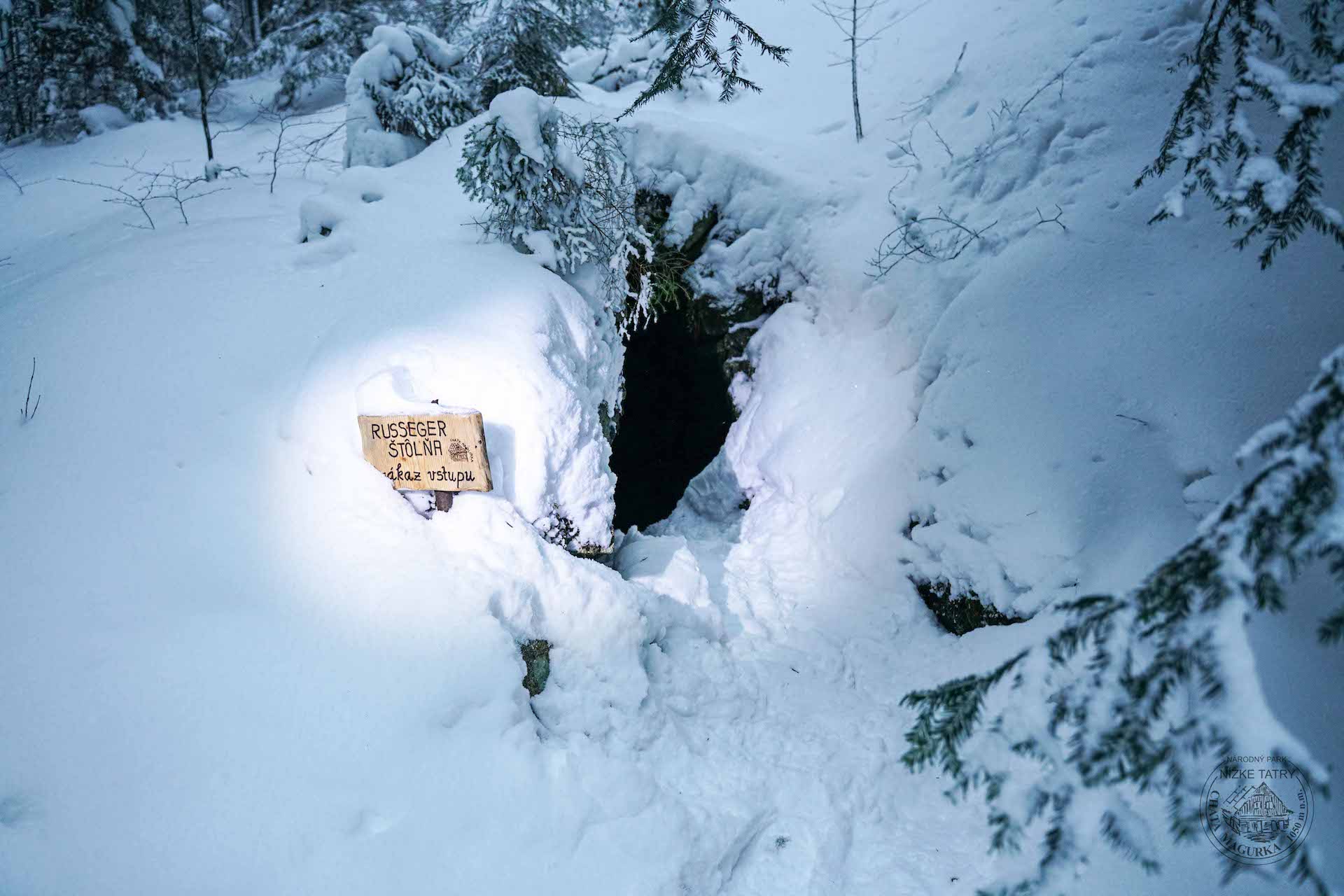
3. Bašovňa, Bašovňa water circuit / leats, water reservoir, Russegger adit
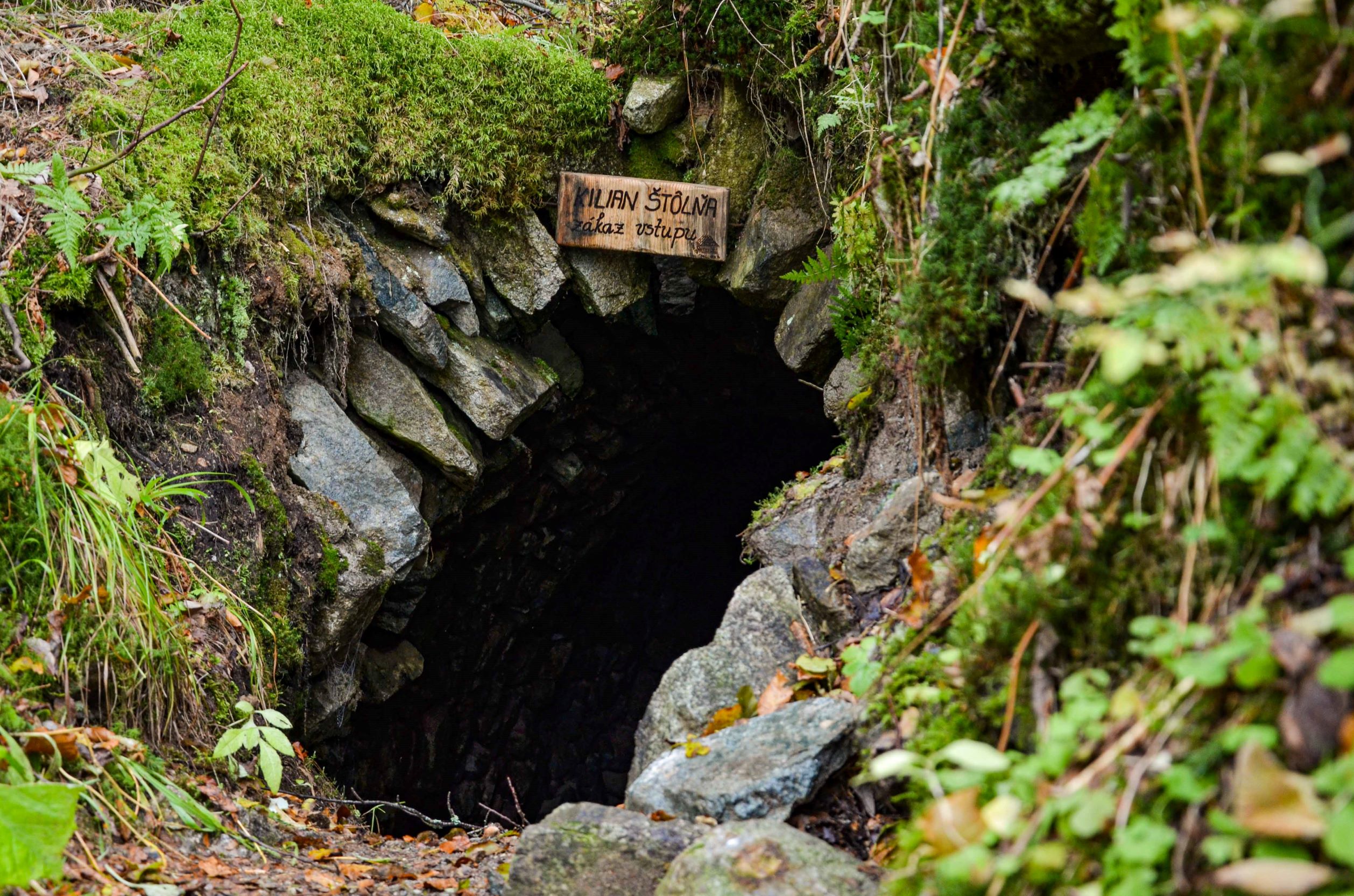
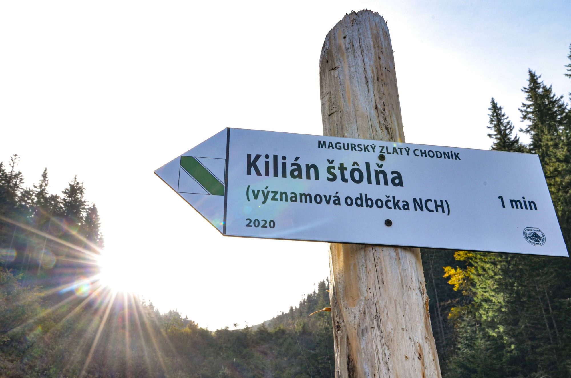
4. Klinčok,Kilian adit /adits of Magurka, gold, sitting area. Map of adits
5. František adit. Forest management / Forest Compossessorate, Land Community in Partizánska Ľupča
6. Leopold adit / geology, minerals, Kapustisko, geological map
7. Ritterstein adit /Kapustisko-Močidlo mining section, water conduit, sitting area
8. Low Tatras National Park(NAPANT)
9. Striebornica /silver vein, mineral wealth of the Low Tatras
10. Viedenka / Viedenka, eastern part of the deposit, Mária adits, opportunity of trying gold panning
Directions for motorists:
To get to the chalet, you can either take the road from Liptovská Lúžna or Partizánska Ľupča. Continue until you reach the Tajch crossroad and follow the signposts to Magurka. There is an asphalt road leading there.
Directions for walkers:
- Take the bus to Liptovská Lúžna and get off at the last bus stop. Continue walking the road to the Prievalec saddle. Pass the saddle and continue until you reach a junction with a green marked trail leading from the Mt Salatín through the settlement of Železnô to Magurka – 1 hour.
Trails running from the main ridge of the Low Tatras to the chalet:
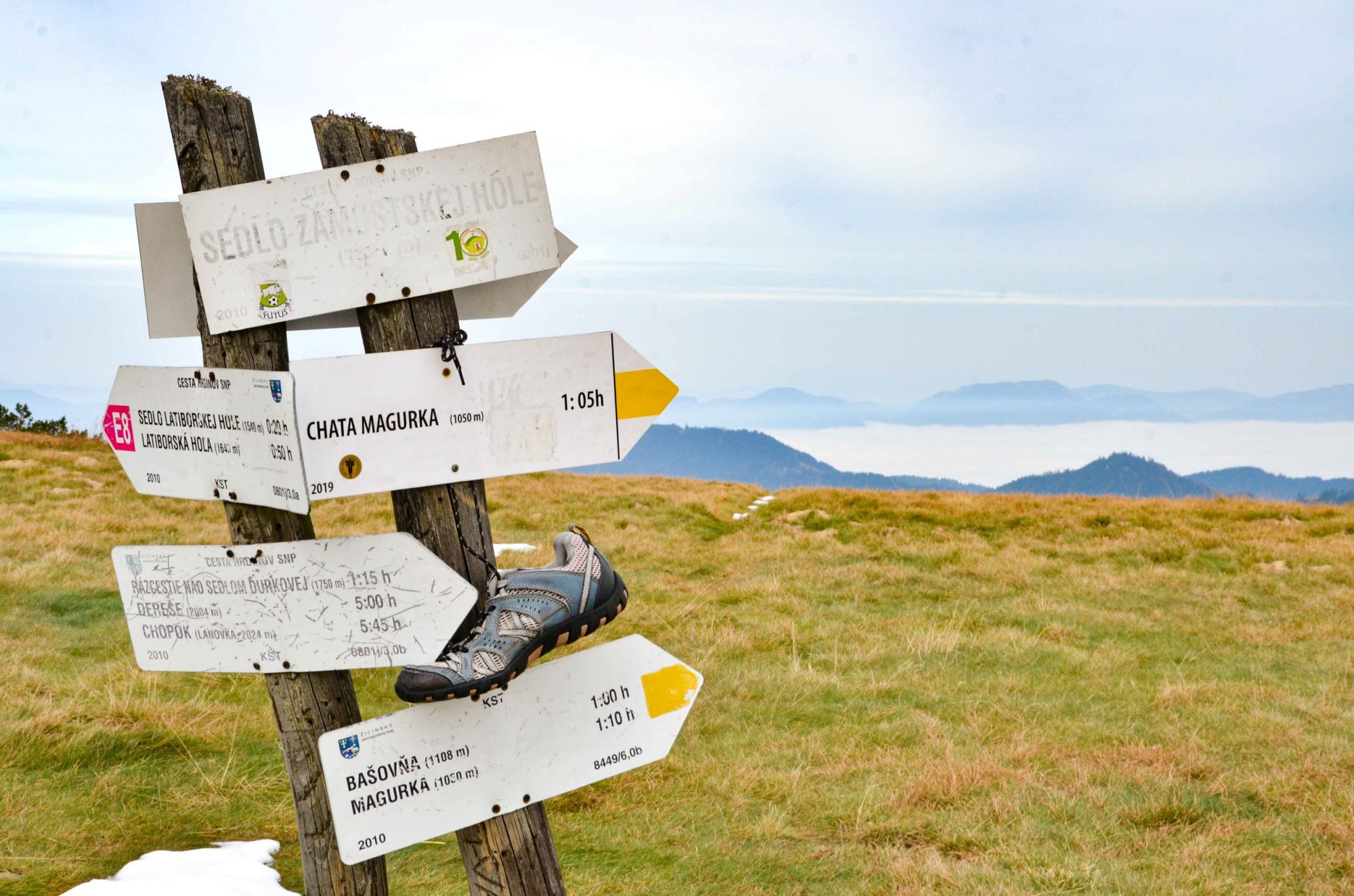
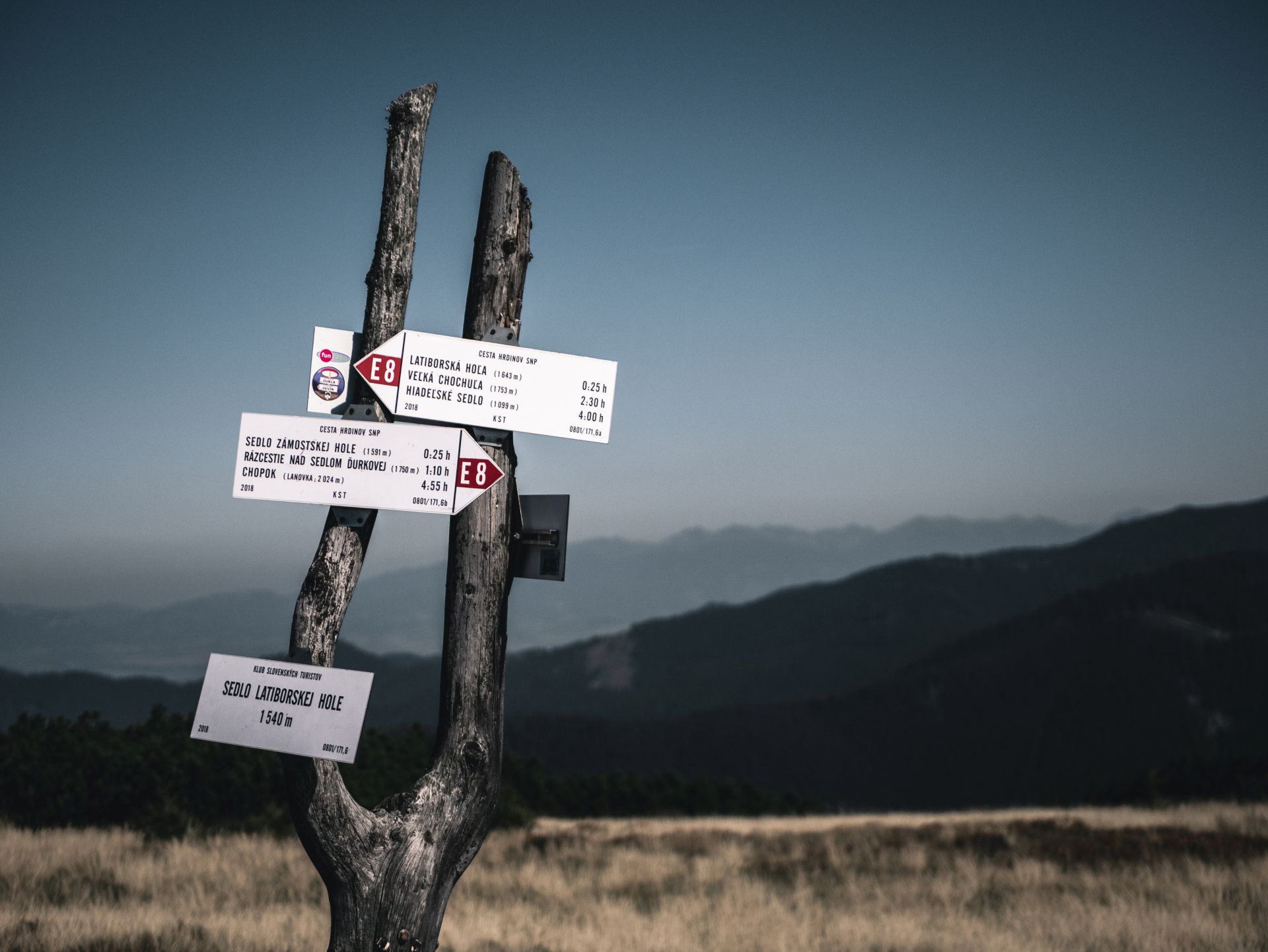
- from the saddle of Latiborská hoľa mountain along a blue marked trail – 1:10 hour
- from the saddle of Zámostská hoľa mountain along a yellow marked trail – 1 hour
- from above the saddle of Mt Ďurková, following a green marked trail leading through the Mestská hora mountain – 1:30 hour
- from Mt Salatín – 2 hours
Golden trail of Magurka route description
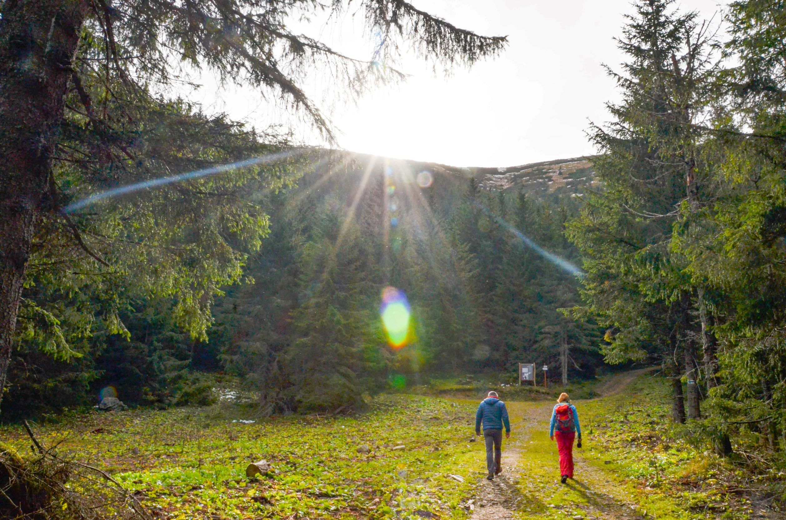
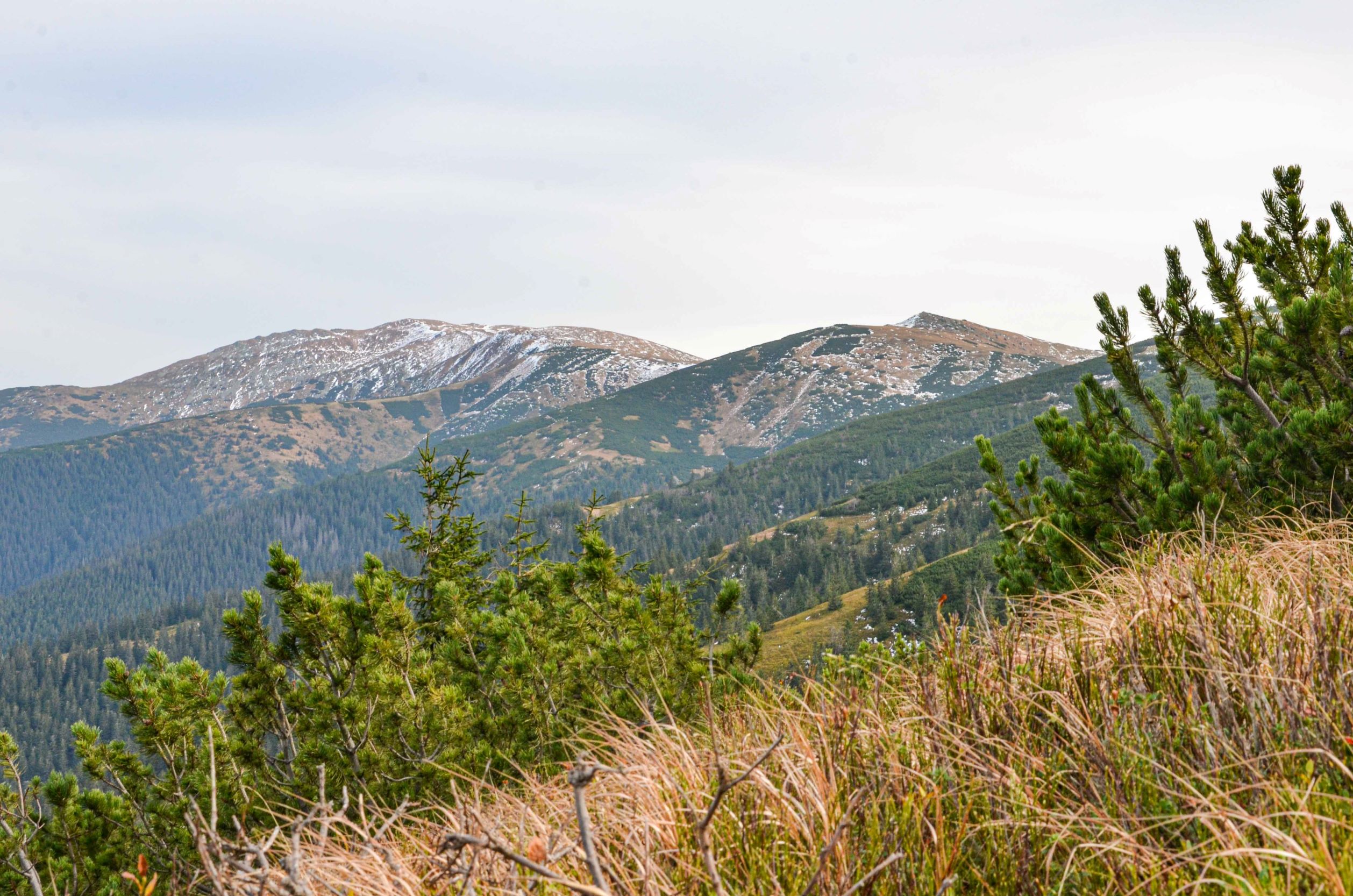
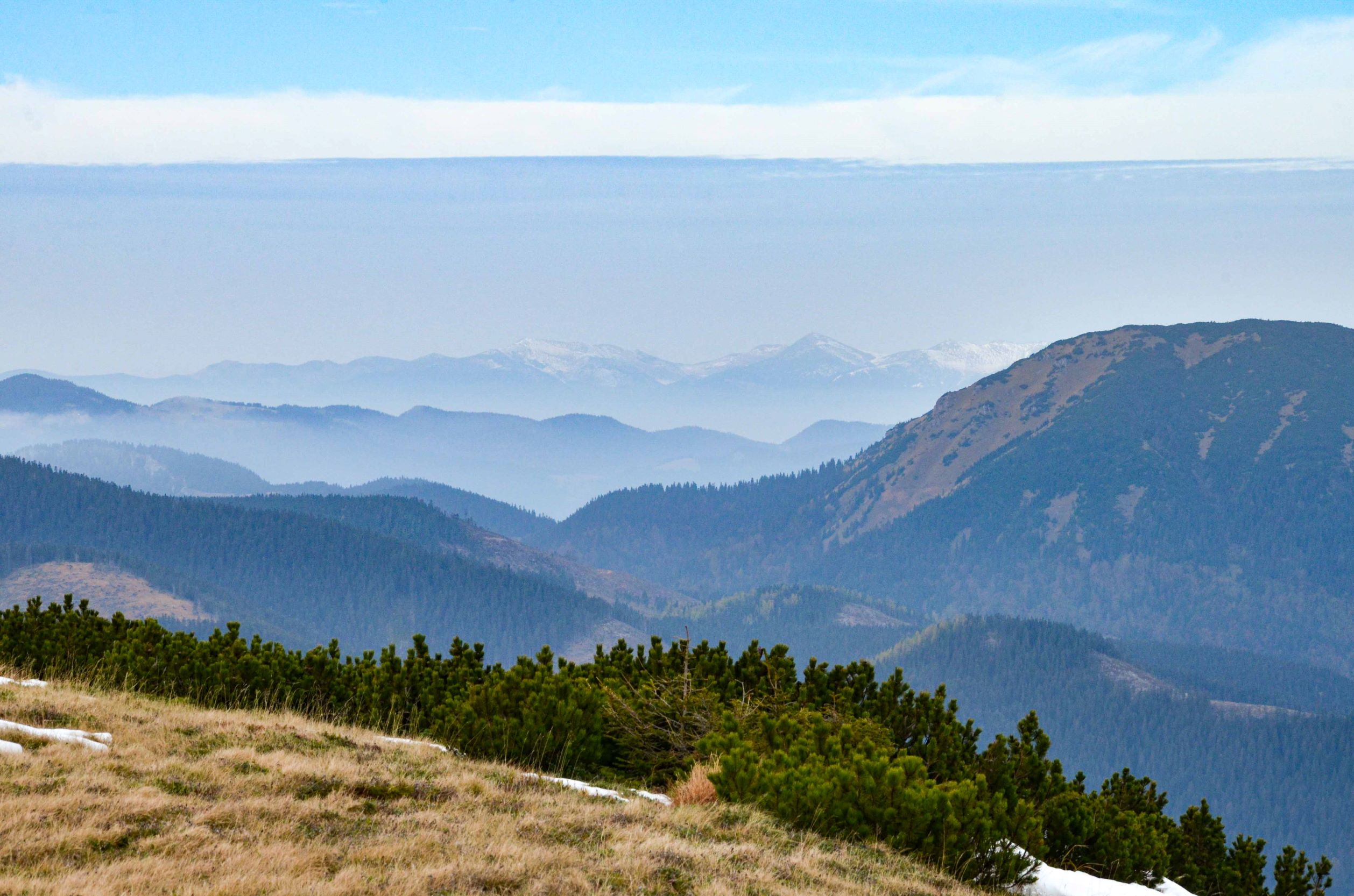
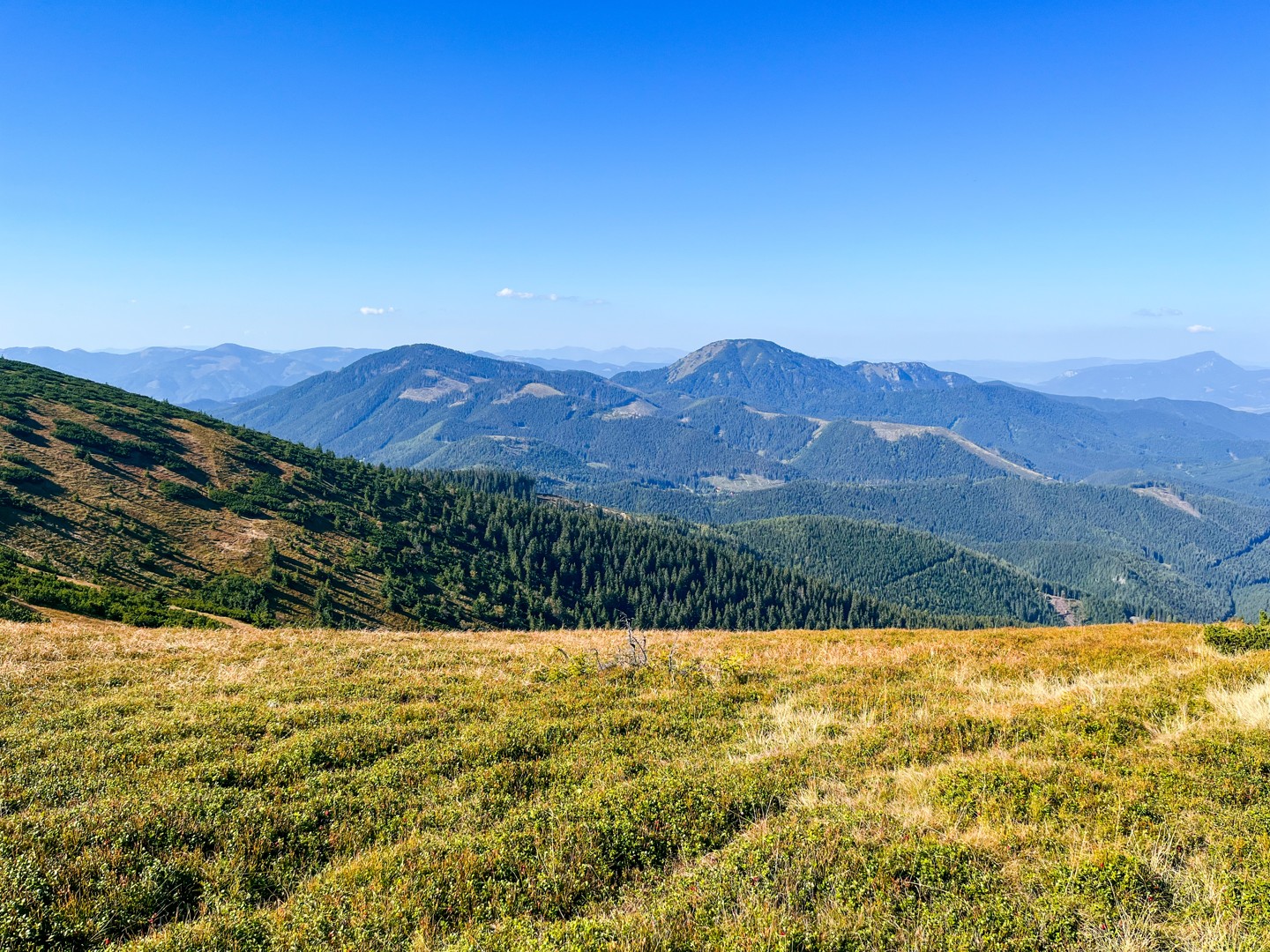
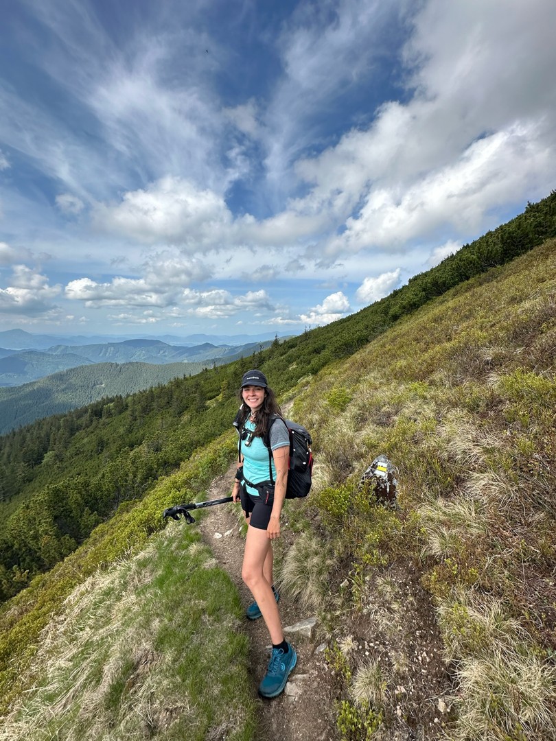
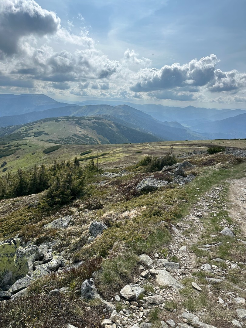
Start from the Magurka Chalet and ascend on a pleasant and relatively undemanding blue trail that will take you to the ridge of the Low Tatras. From there follow the yellow trail back to to the Magurka Chalet.

Important
- The trail is located in the Low Tatras National Park, the area having the 3rd and higher degrees of protection. Please observe the code of conduct for the visitors to NAPANT
- The trail is for hikers only


Please describe your experience