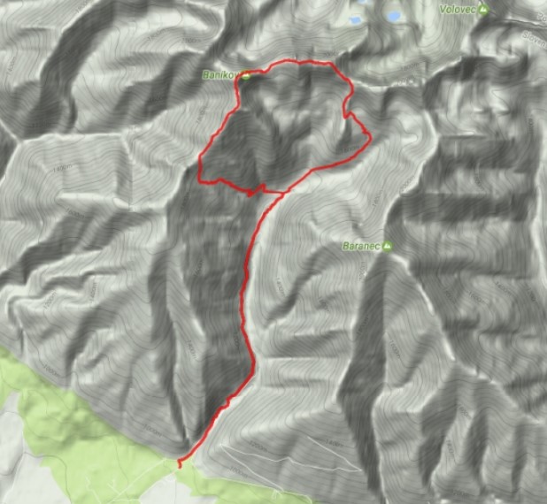
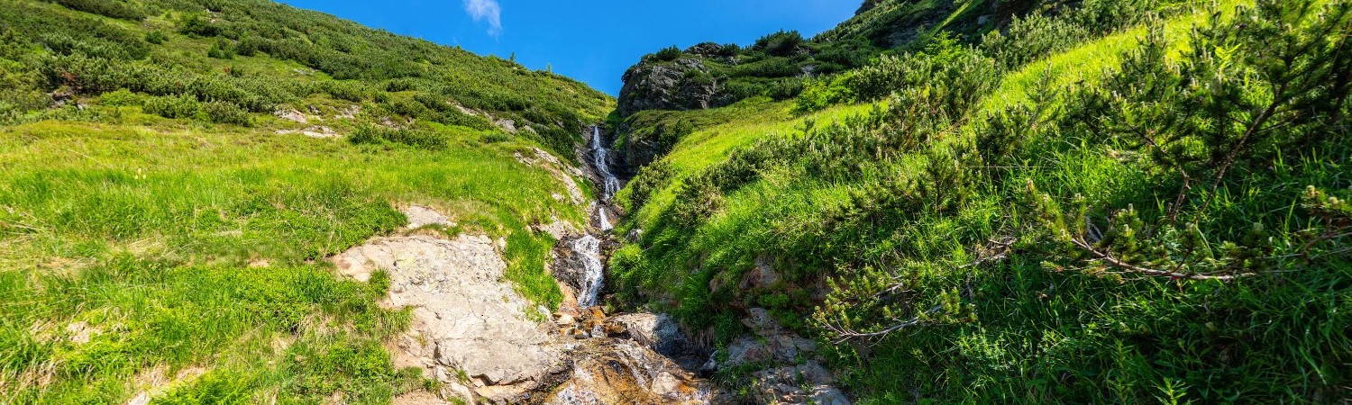
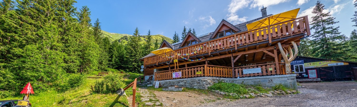
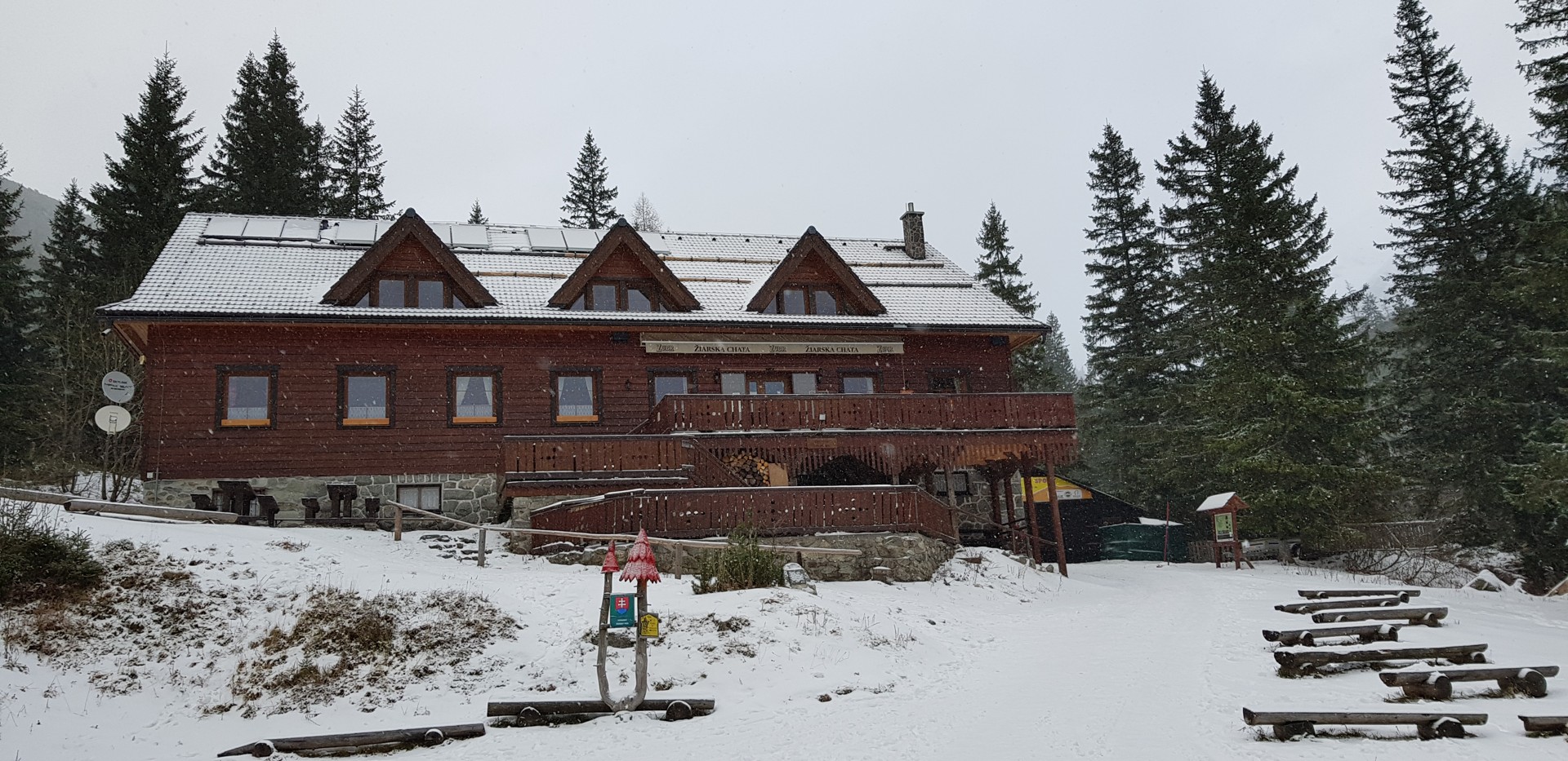

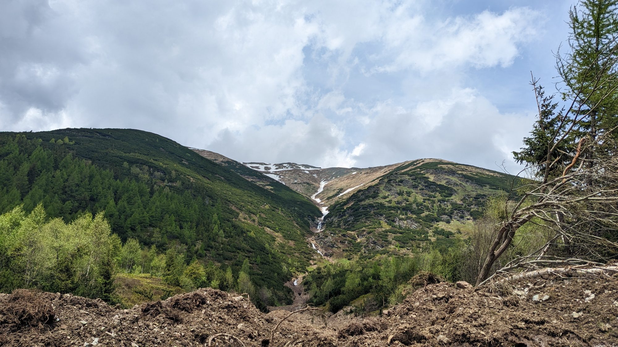
The route starts at the mouth of the Žiarská dolina (880 m) at the blue marker (2707), which is followed for a short section along with the red and yellow markers. After an easy ascent to the Žiarska hut (1,300 m), we continue past the Mountain Service house to the signpost, where we cross the green marked path (5610). He will bring us to the Jalovecký saddle. Next to the Pietna place for the victims of mountain accidents in the Western Tatras, we traverse the southern slope to the stream. We climb up on its right side, cross the stream under the Šarafi waterfall to the left and reach another gully after a long climb. We ascend the serpentine path between the rhombus to the wide Jalovecký saddle (1,858 m).
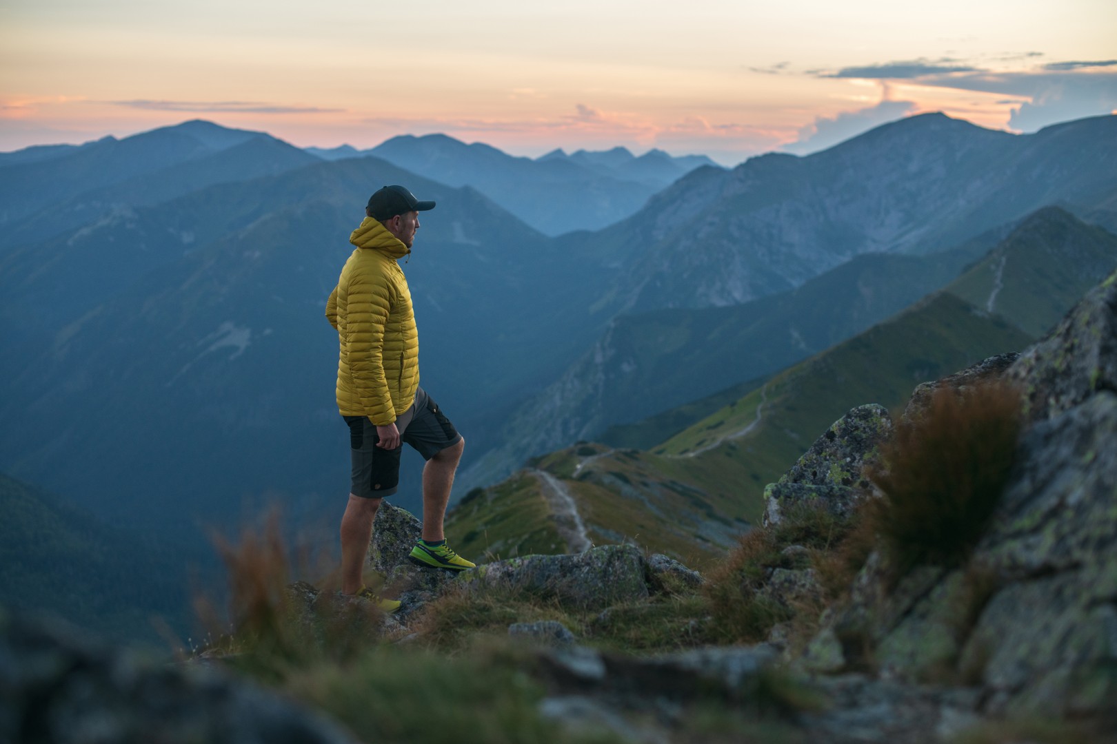
From the saddle, we continue to the right along the grassy (later rocky) ridge to Príslop (2,142 m). We descend over a steep rocky ridge to a smaller saddle. We will bypass part of the “toothed” ridge on the left, then climb the southern rock ridge to Baníkov (2,178 m), the highest peak on the main ridge of the Western Tatras. We continue in the eastern direction following the red signs (0862). Extremely exposed parts secured by chains await us (they are very dangerous when wet and icy). Through the rock cut with safety, we descend around the so-called rock needle into a looser terrain. Behind the wide meadow saddle, we climb to the second highest peak of the hike – Hrubú kop (2,166 m).
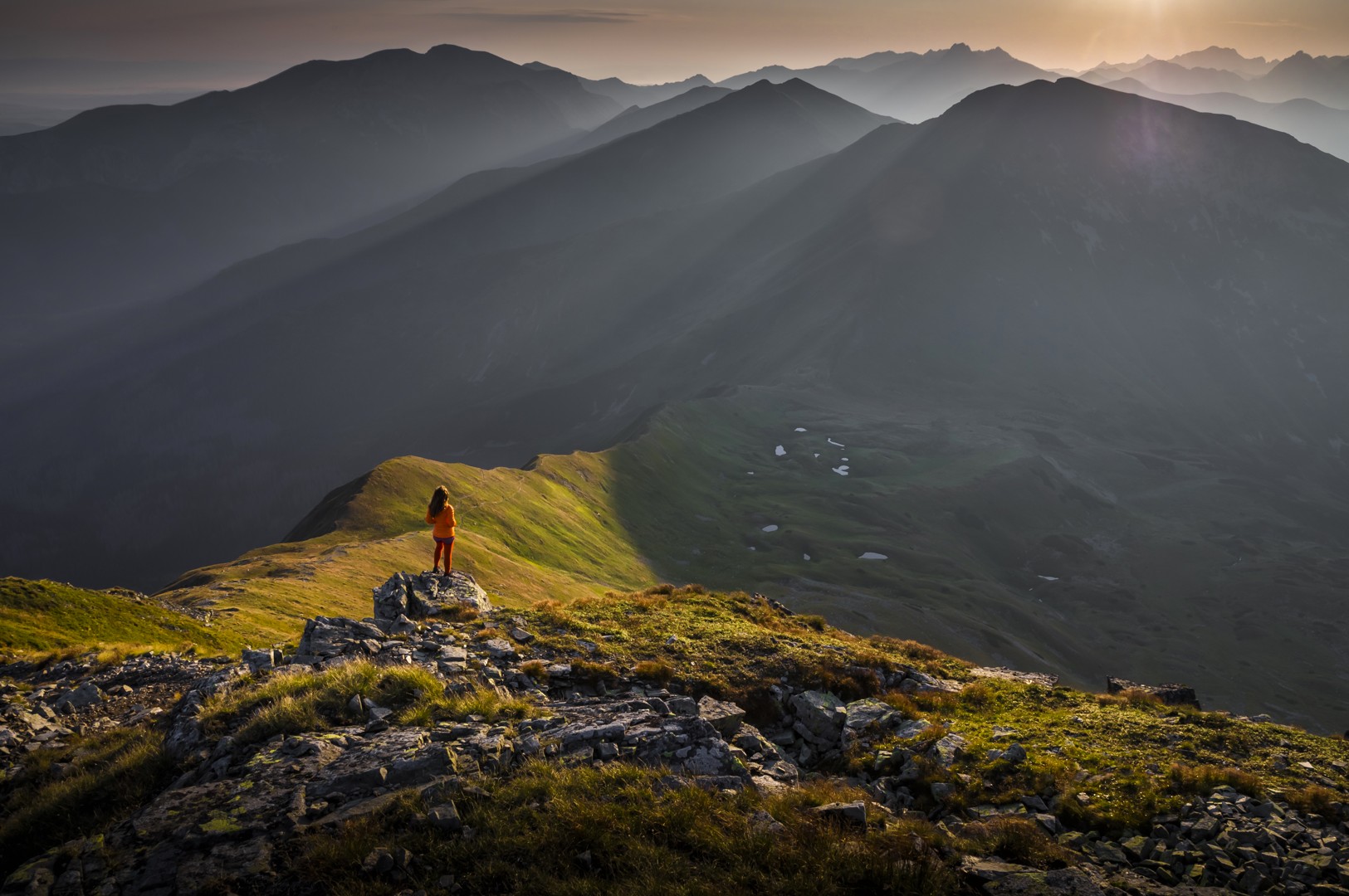
After a short rest, we descend to the saddle. This is followed by a passage through the exposed Three Rocks (2,136 m), which is ensured by artificial aids. The technically demanding passage should only be completed in good weather. From the last hill, we descend on a scree trail to Smutné sedlo (1,963 m). From the saddle, we continue to the right along the blue-marked path (2707), which is carved into a very steep slope, to the branch of the Prostredné grúň. We continue along the undulating ridge to a small shallow saddle, from which we can reach the valley via a short serpentine on the left. We take the paved path leading through the small terrace to the crossroads to Žiarske sedlo and then follow our route for about 45 min. we will find ourselves at the Žiarská chata. With a comfortable descent down the Žiarská dolina, we will end the trip at the SAD stop just below the mouth of the Žiarská dolina.
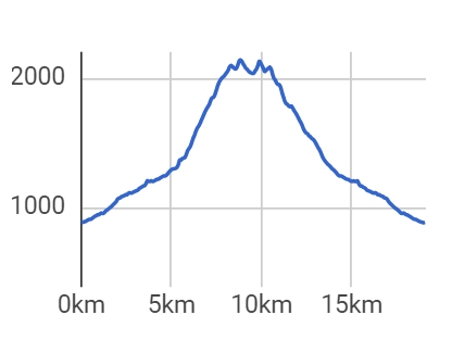
Time schedule: Mouth of Žiarská dolina – Žiarska chata 1 ¼ h – Jalovecké sedlo 1 ½ h – Baníkov 1 h – Hrubá kopa 1 h – Smutné sedlo 1 h – Žiarska chata 1 h – mouth of Žiarska dolina 1 h Total: 7 ¾ h From 1 From November to June 15, the trail is closed.
Start location: 49.144532; 19.699909
There is a paid parking lot in Žiarská dolina.
By train or bus to Liptovský Mikuláš and then by bus from Liptovský Mikuláš to the village of Žiar, or to the beginning of the Žiar valley.
In the village of Žiar there are several accommodation facilities that offer accommodation. Dining options are provided, whether in summer or winter, in hotel restaurants or snack buffets.