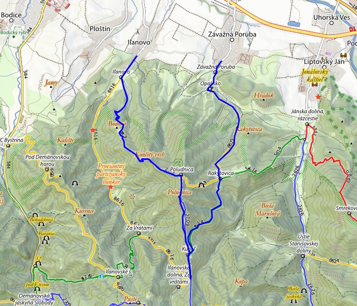
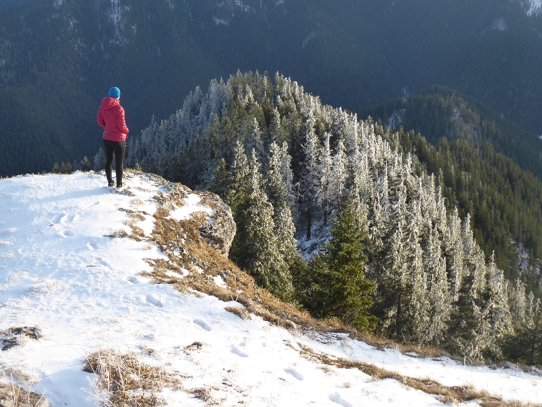
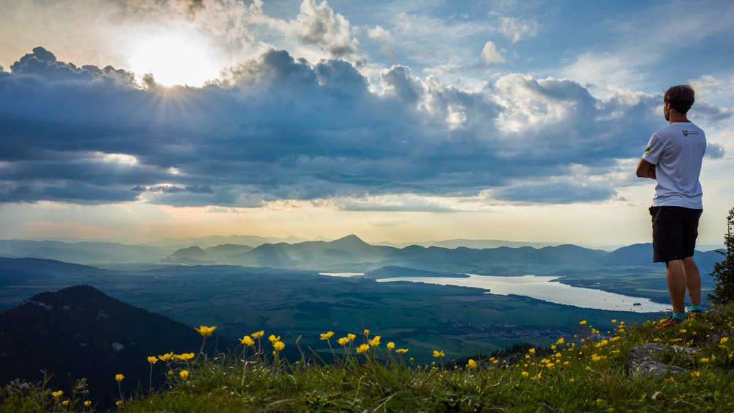
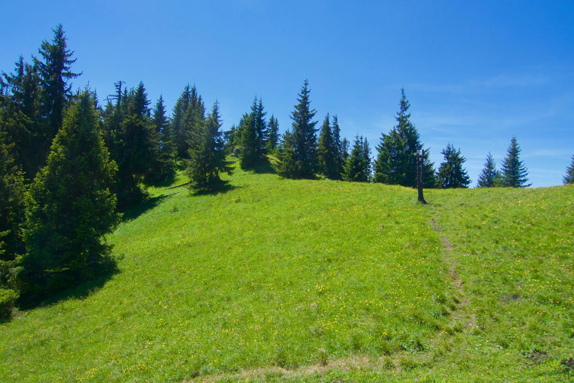
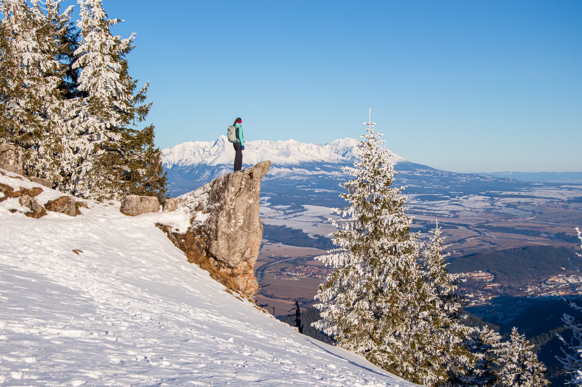
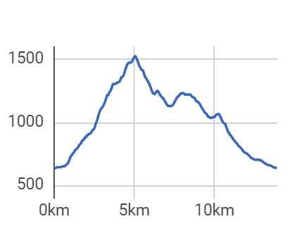
Poludnica is a very attractive peak for tourists. It rises to a height of 1,548 m above sea level and is only seven kilometres from the centre of Liptovský Mikuláš as the crow flies. These facts ensure Poludnica offers a beautiful view of the whole Liptov region. The shortest ascent is along the blue trail from the village of Iľanovo. However, even though it is only 5.5 kilometres in length, you should plan on taking at least two and a half hours to climb the almost 900 metres of elevation. You can return by the same route, or follow the yellow trail to Závažná Poruba, or continue along the blue trail to the saddle below Kúpeľ and then take the green trail to connect to the yellow one to Závažná Poruba. Our tour proposal follows the latter option. (Source: Hiking.sk)
Miesto štartu: 49.048943; 19.613448
Free parking is available in the village.
By train or bus to Liptovský Mikuláš and then again by bus from Liptovský Mikuláš and then by city bus from Liptovský Mikuláš to the village of Iľanovo.
In the villages of Iľanovo and Závažná Poruba there are several accommodation facilities. Food is available in both summer and winter in the hotel restaurants and snack buffets.