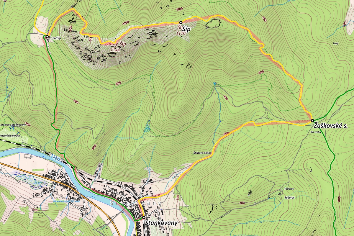
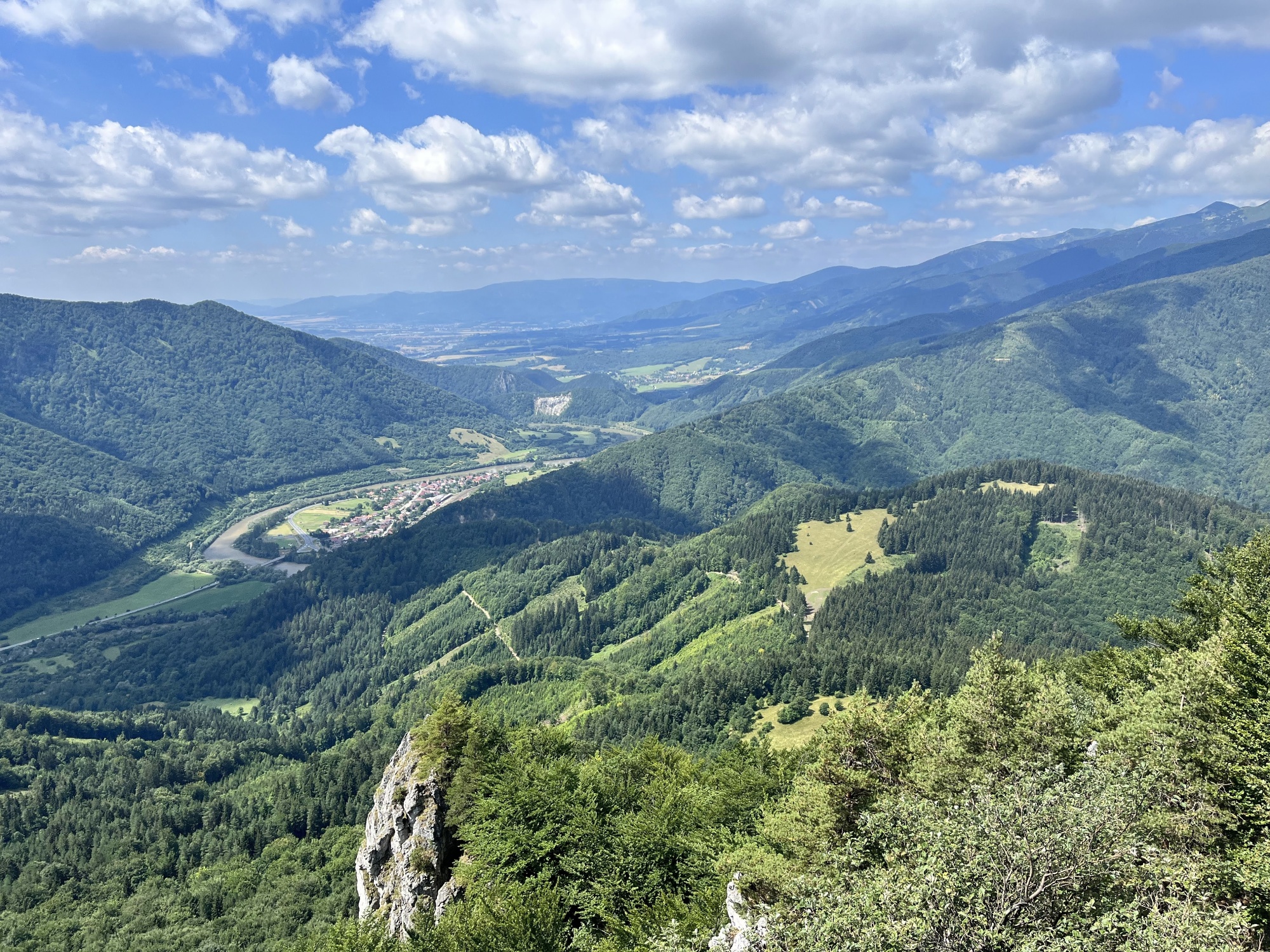
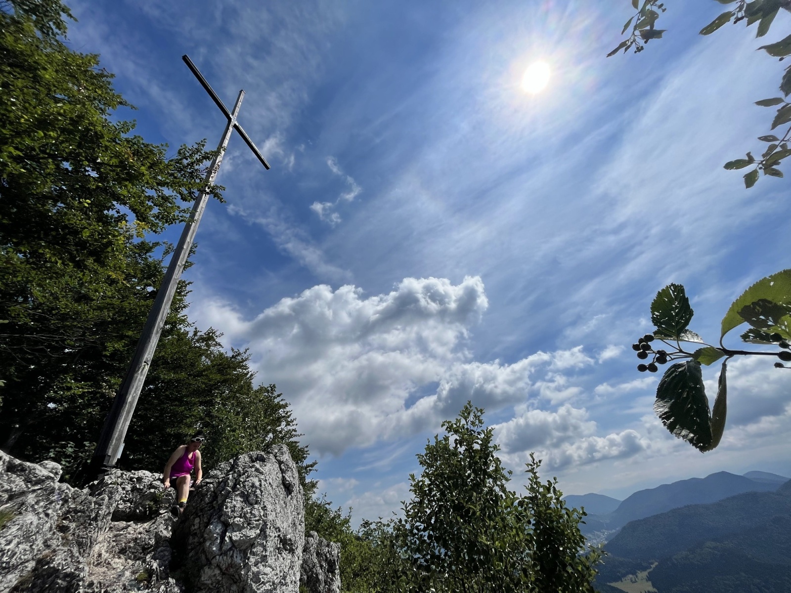
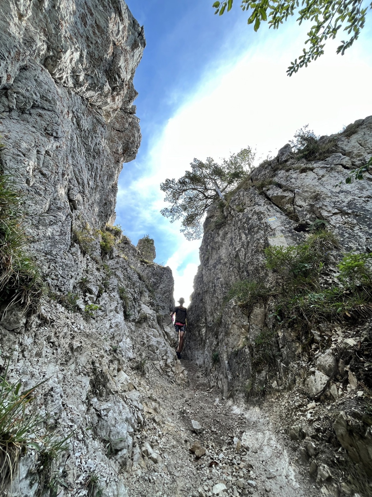
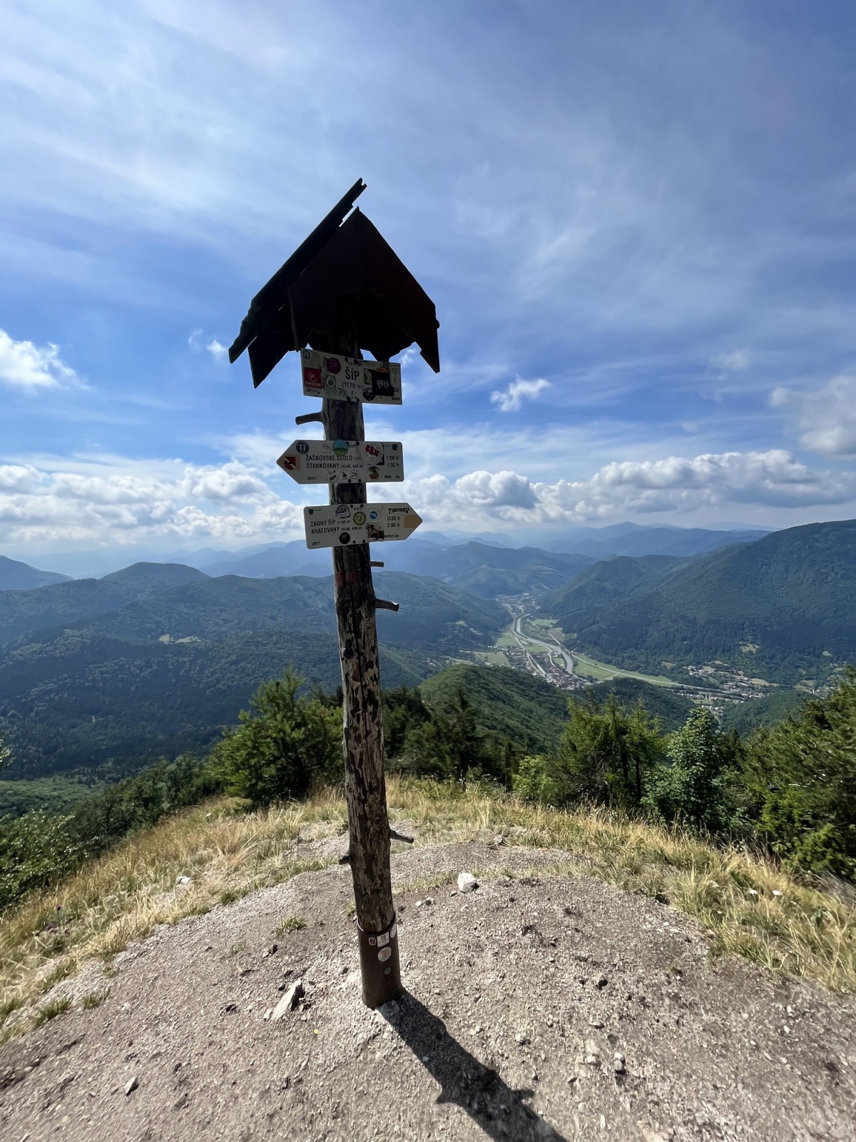
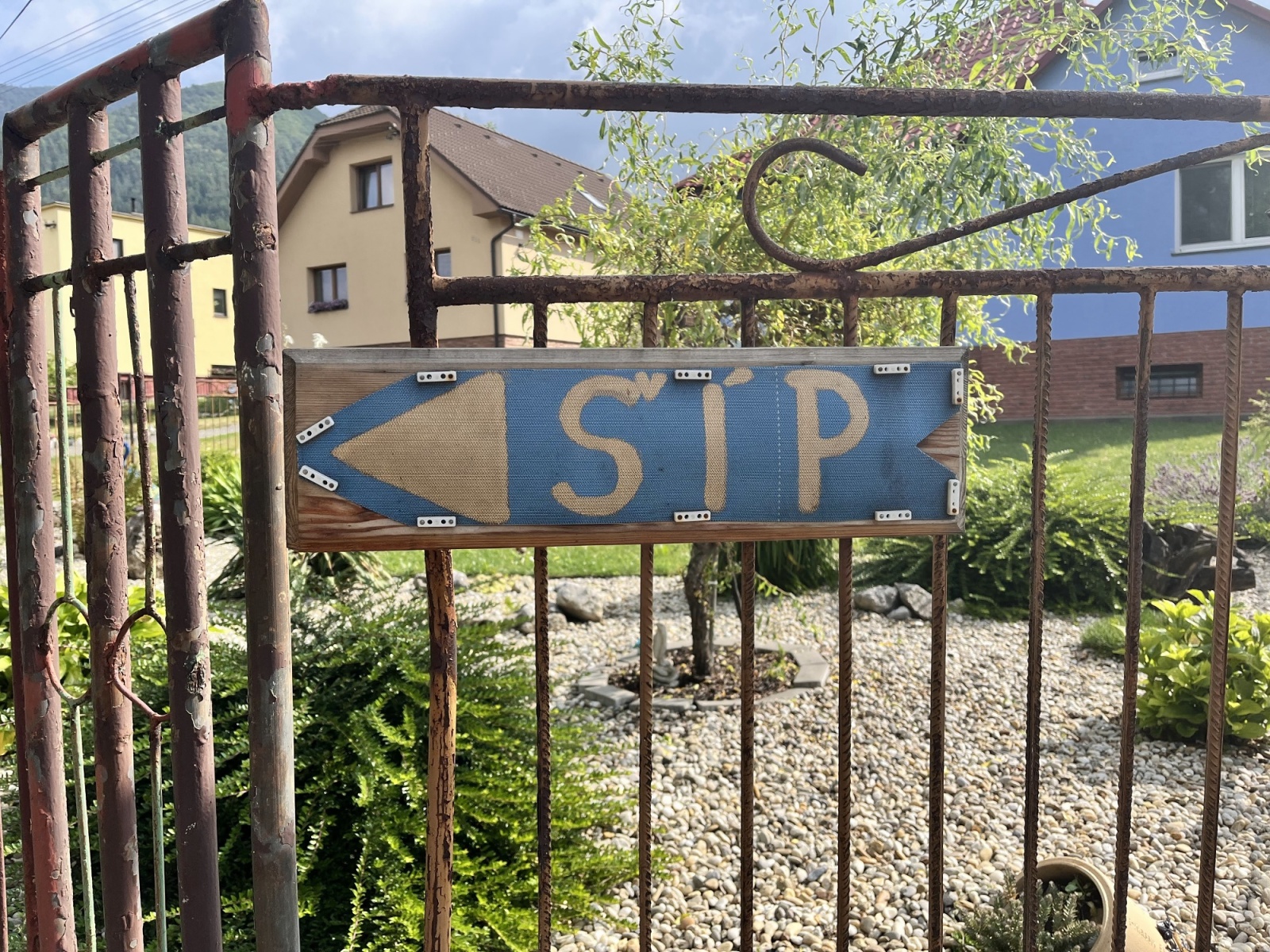
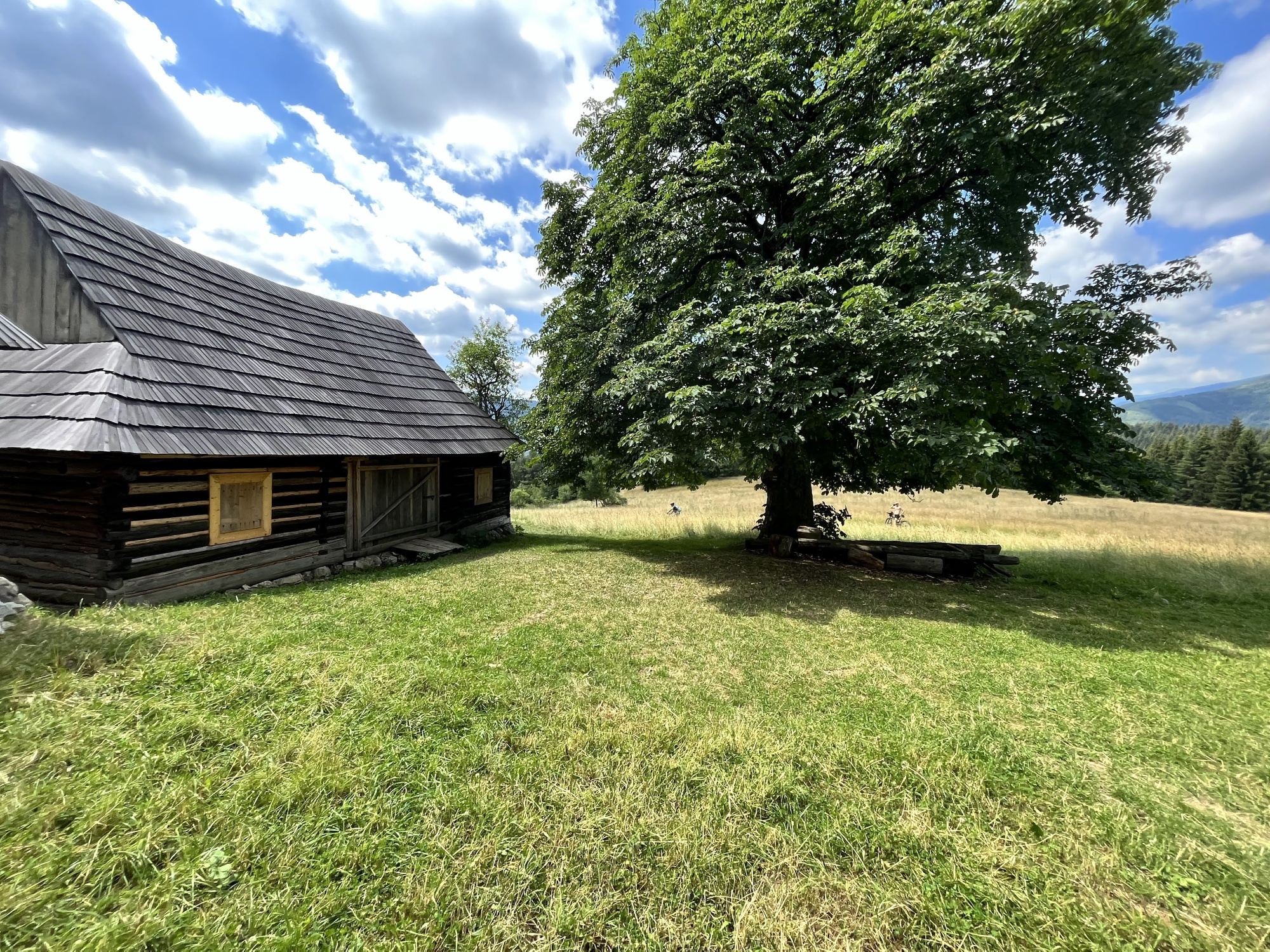
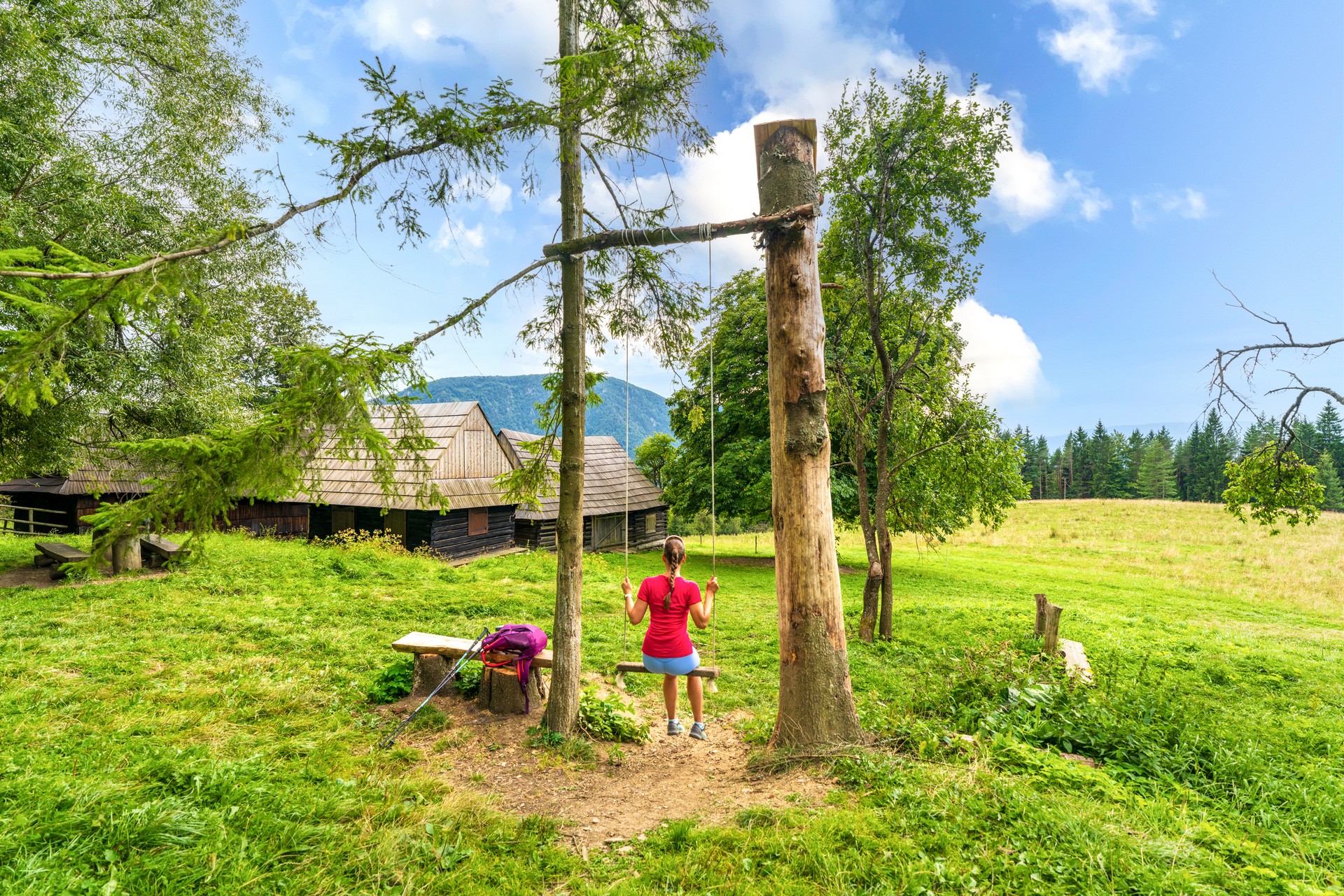
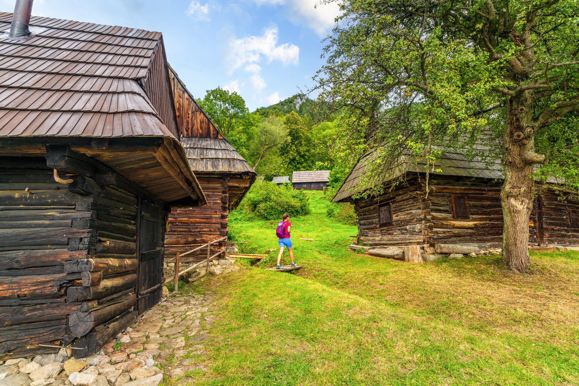
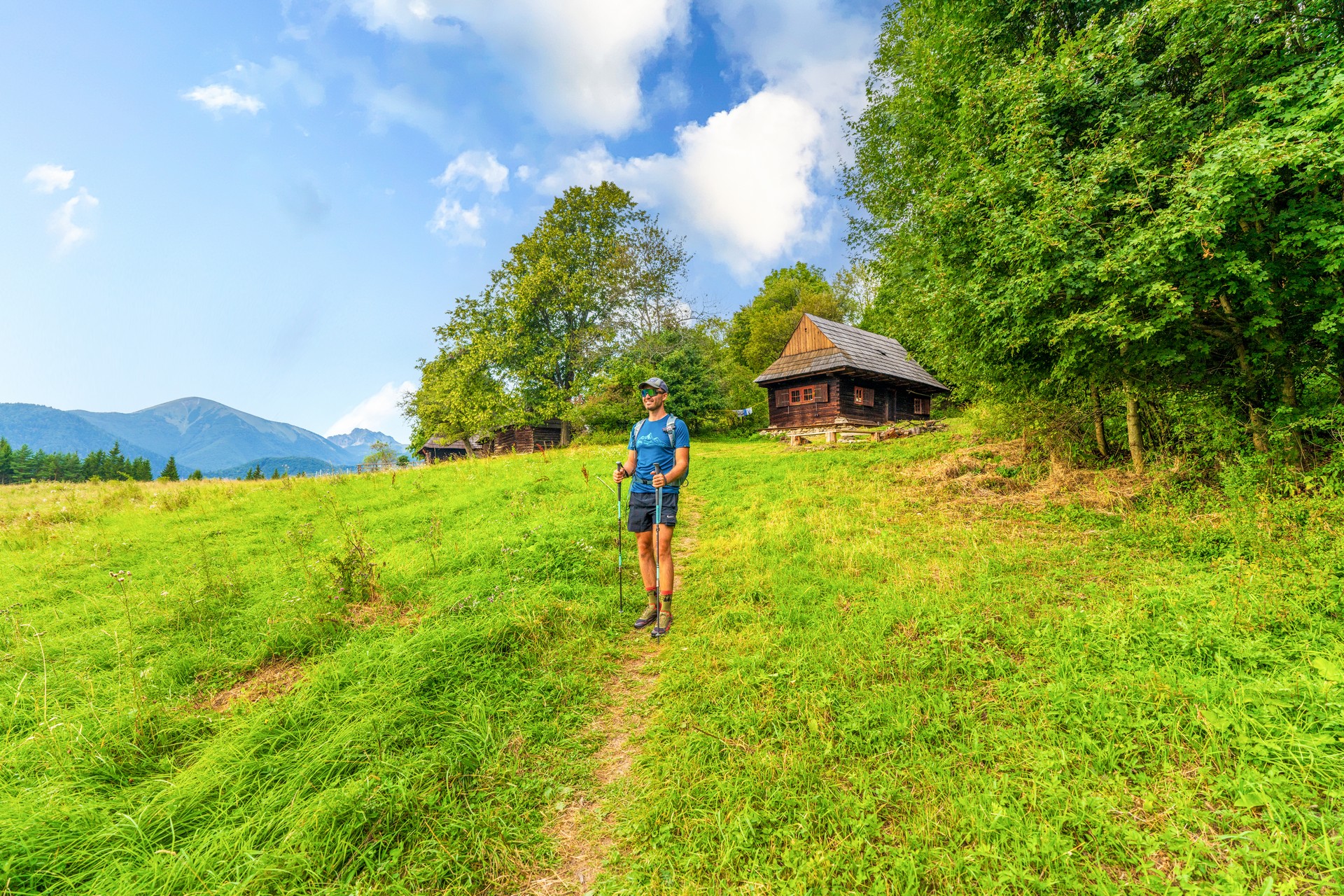
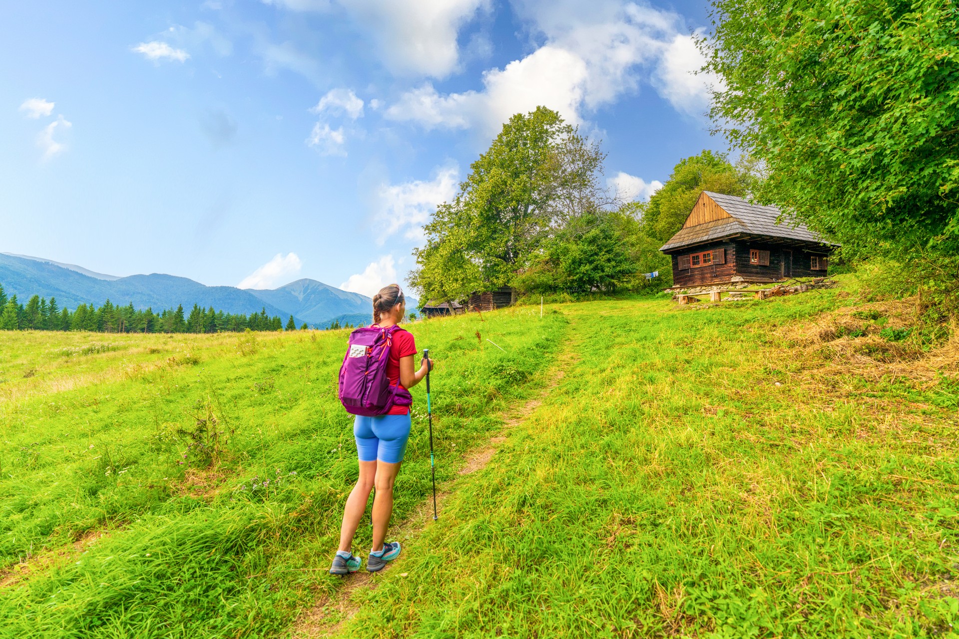
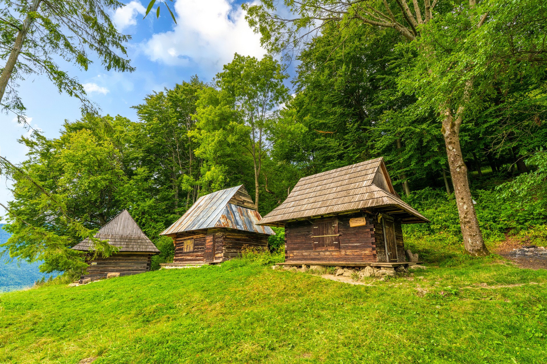
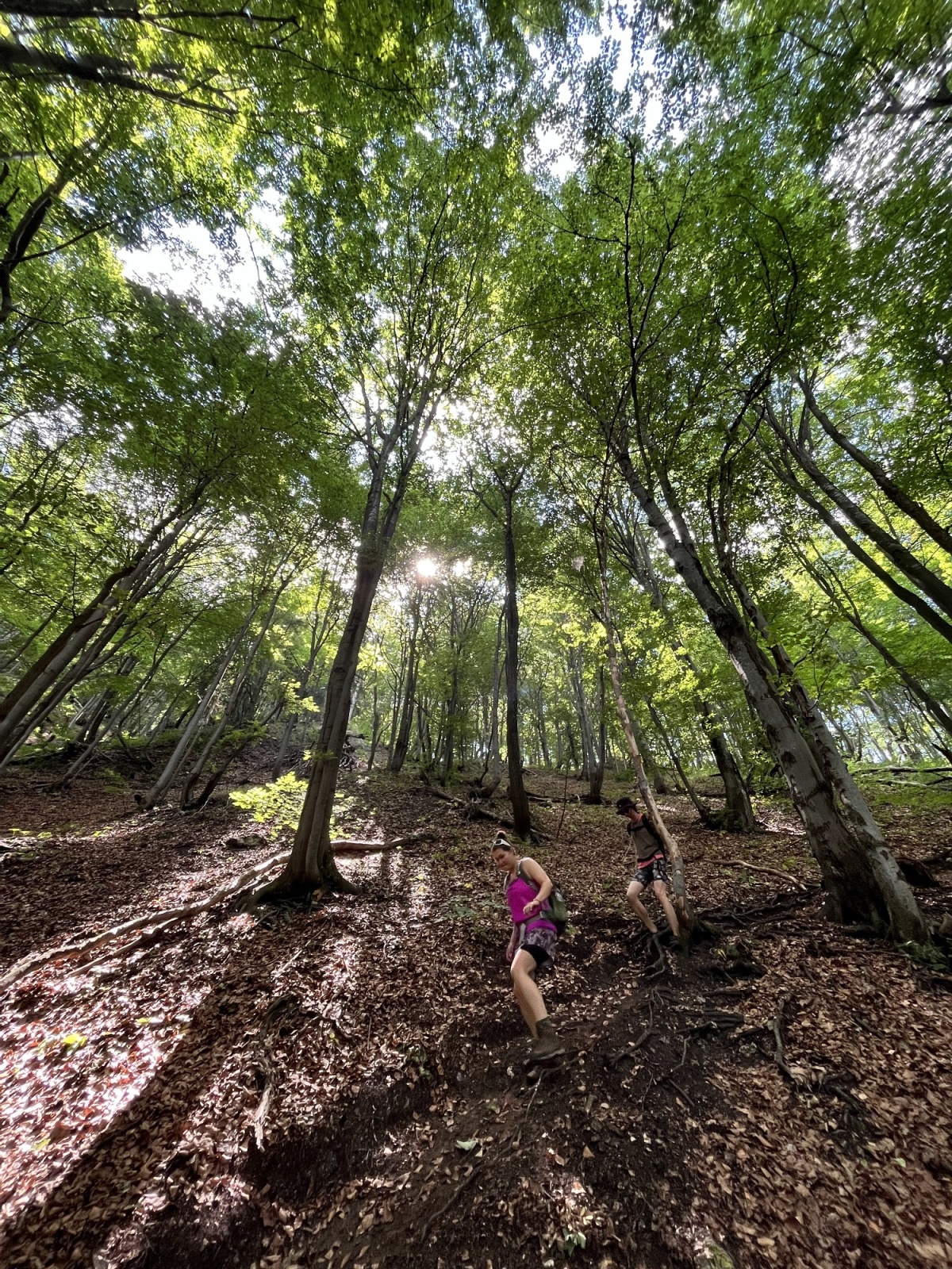
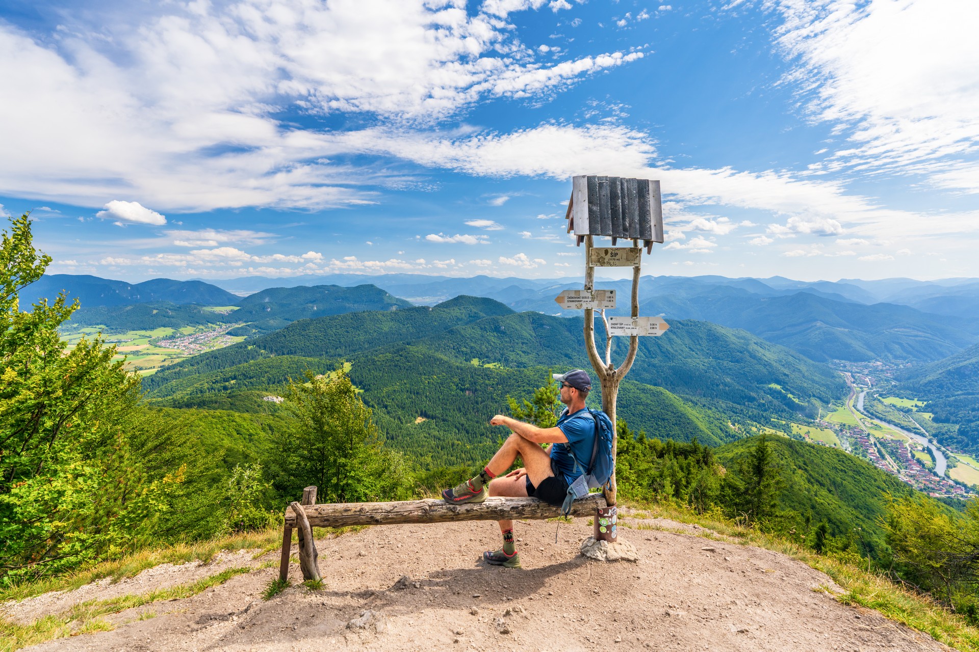
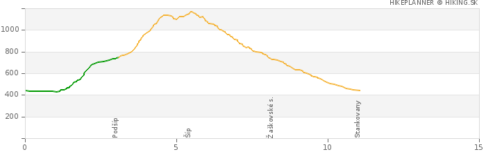
The Šíp mountain is located in Šípska Fatra, which is a mountain range connecting the Malá and Veľká Fatra mountain ranges. It rises right above the confluence of the Orava and Váh rivers, between the villages of Kraľovany and Ľubochňa. The route starts in the Stankovany village, from where you follow the green markers. In about 30 minutes you will reach the Podšíp setllement, where you can admire its well-preserved, traditional wooden houses or just stop by for a picnic. From Podšíp, follow the yellow markers up through Zadný Šíp to the majestic cross on the summit of Šíp (1170 m.a.s.l.), from where you can enjoy amazing views of Veľký Choč.
The area of Šíp (302 hectares) has been designated a national nature reserve due to the presence of rare plant and animal species.
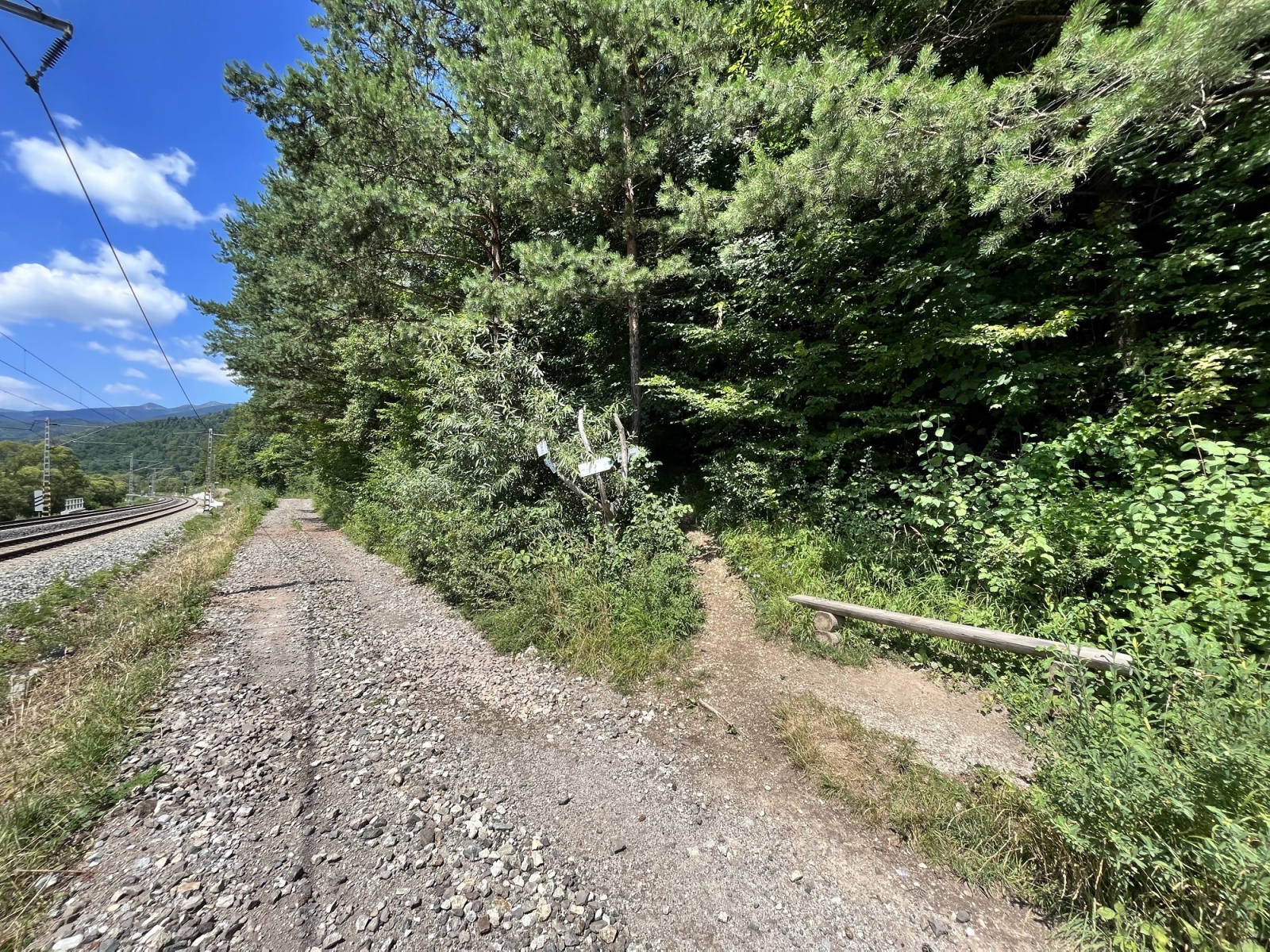
The route is accessible by car, bus and train. You can park the car at the parking lot in front of the Municipal Office in Stankovany. Stankovany railway station. Stankovany, Pri moste bus stop.
Refreshments and drinks are available at the Krčma Stankovany pub.