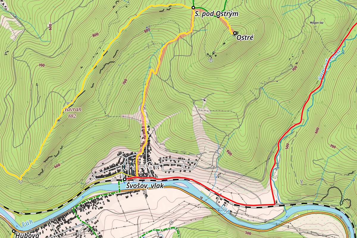
Detailed route description
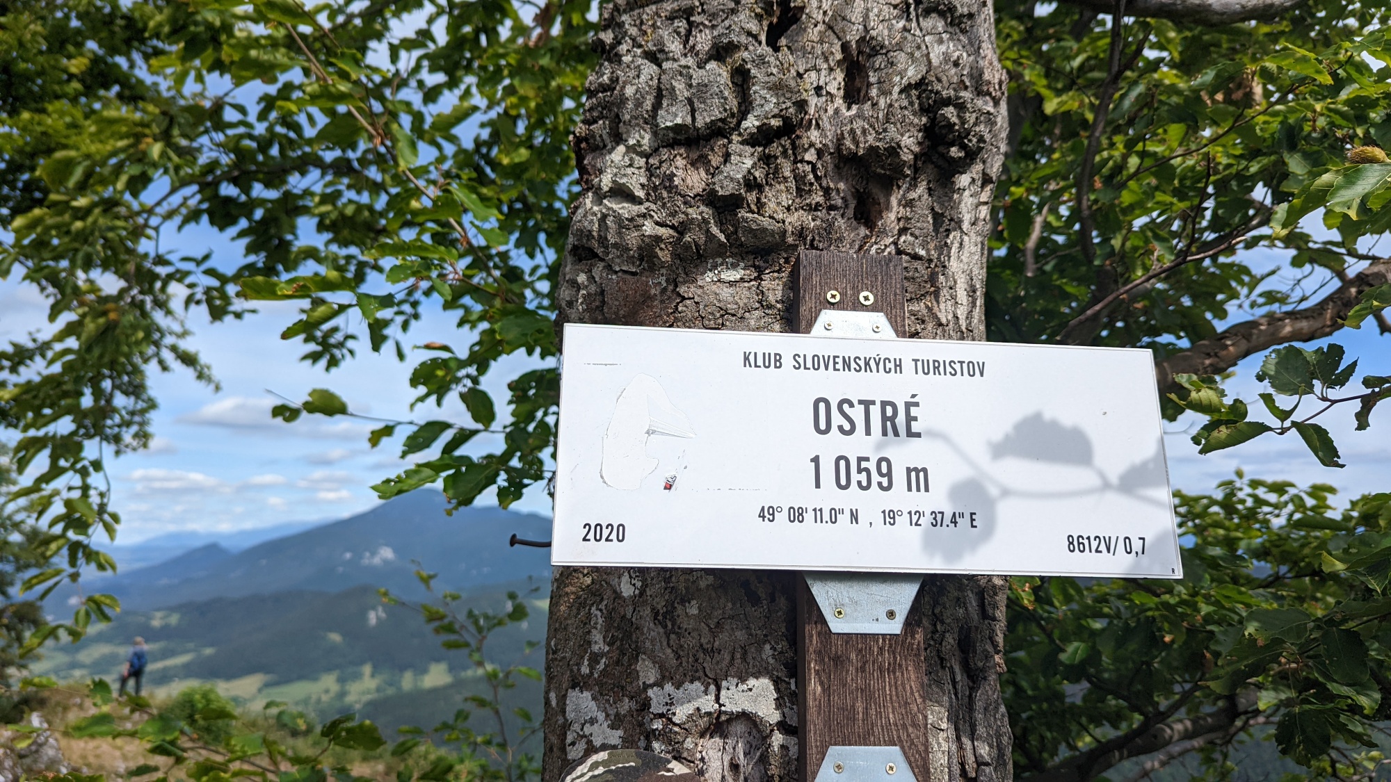
Ostré (1067 m.a.s.l.), called Hrdoš by locals, is a rocky mountain visible from the main road leading from Martin to Ružomberok. The starting point for the hikes to Ostré are Komjatná (app. 2 km), Švošov (app. 3 km), Stankovany, Žaškov and Ľubochňa.
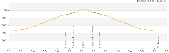
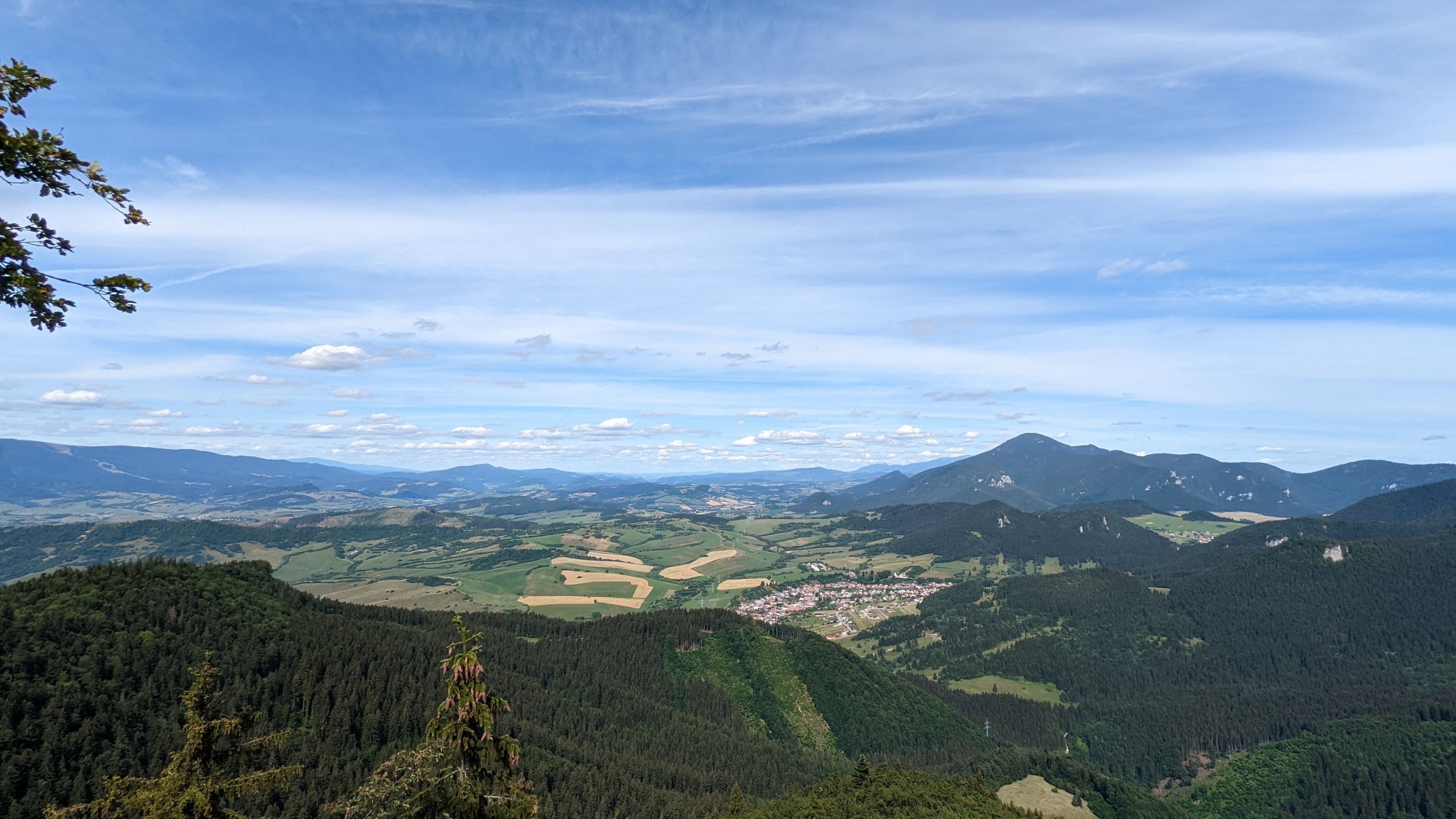
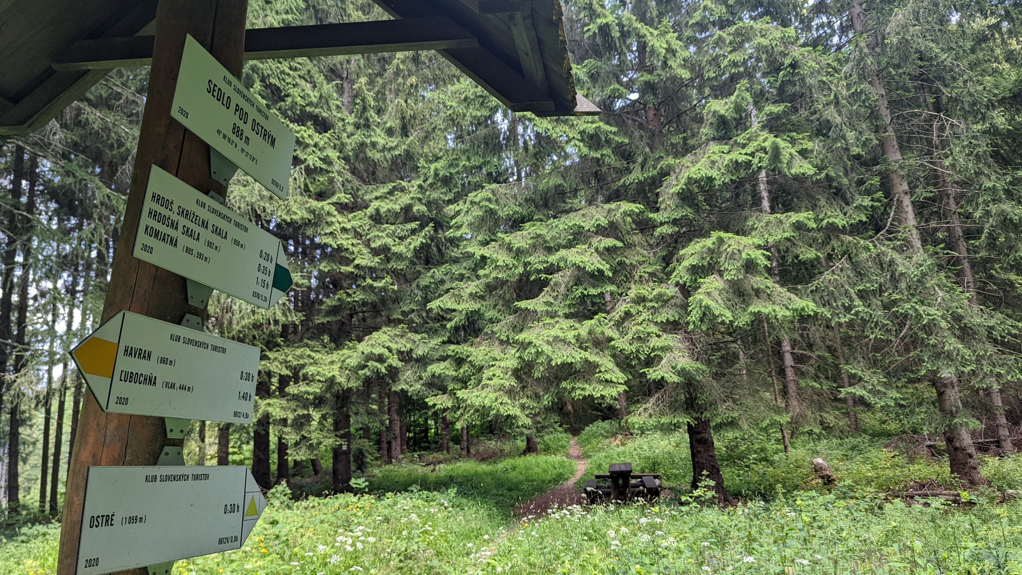
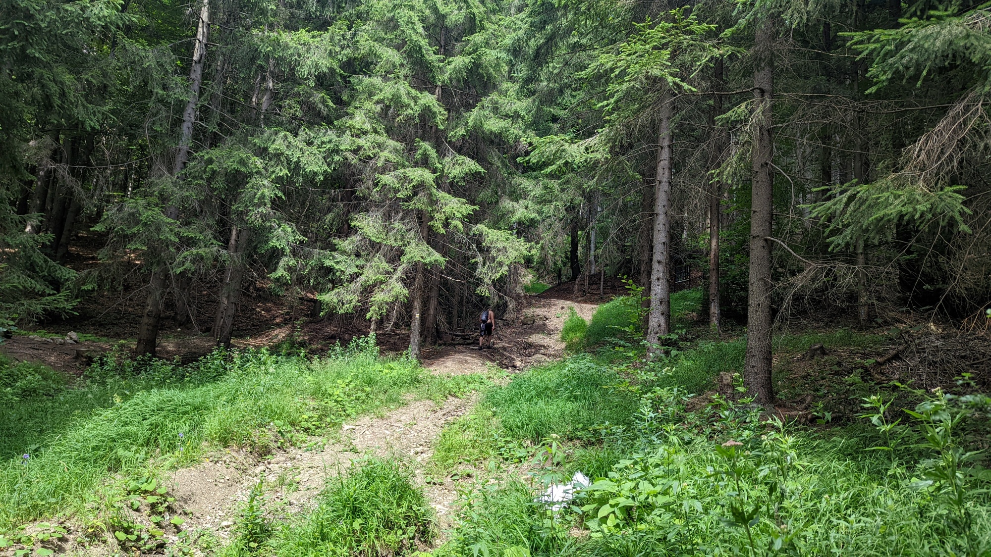
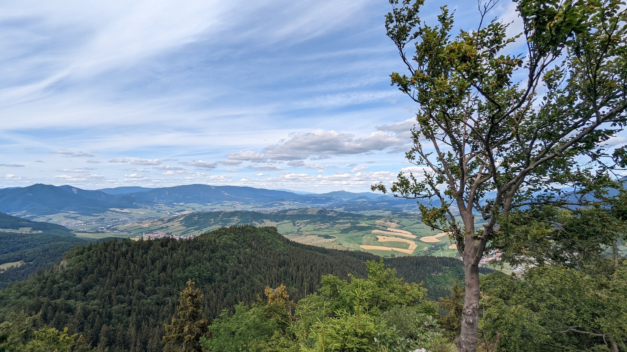
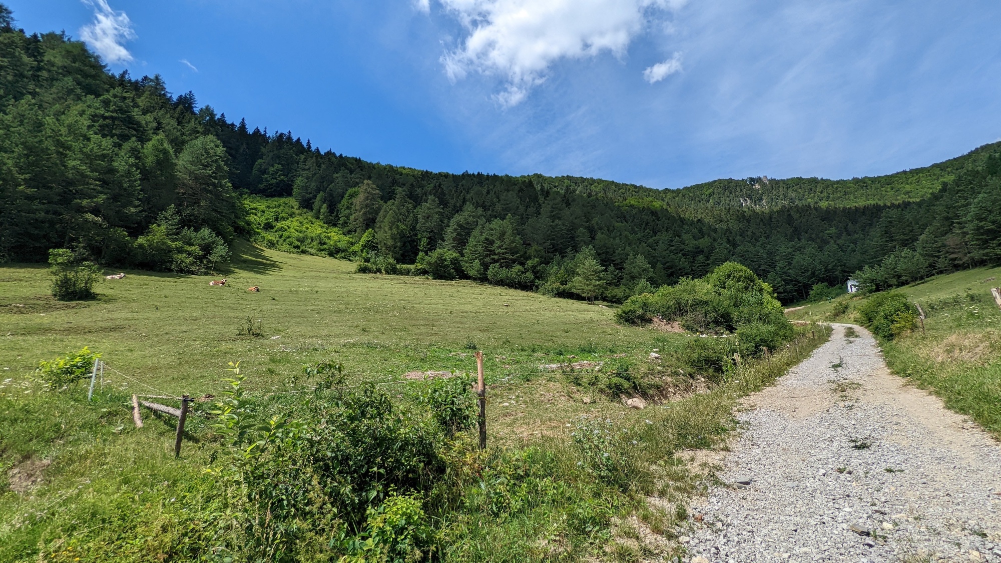
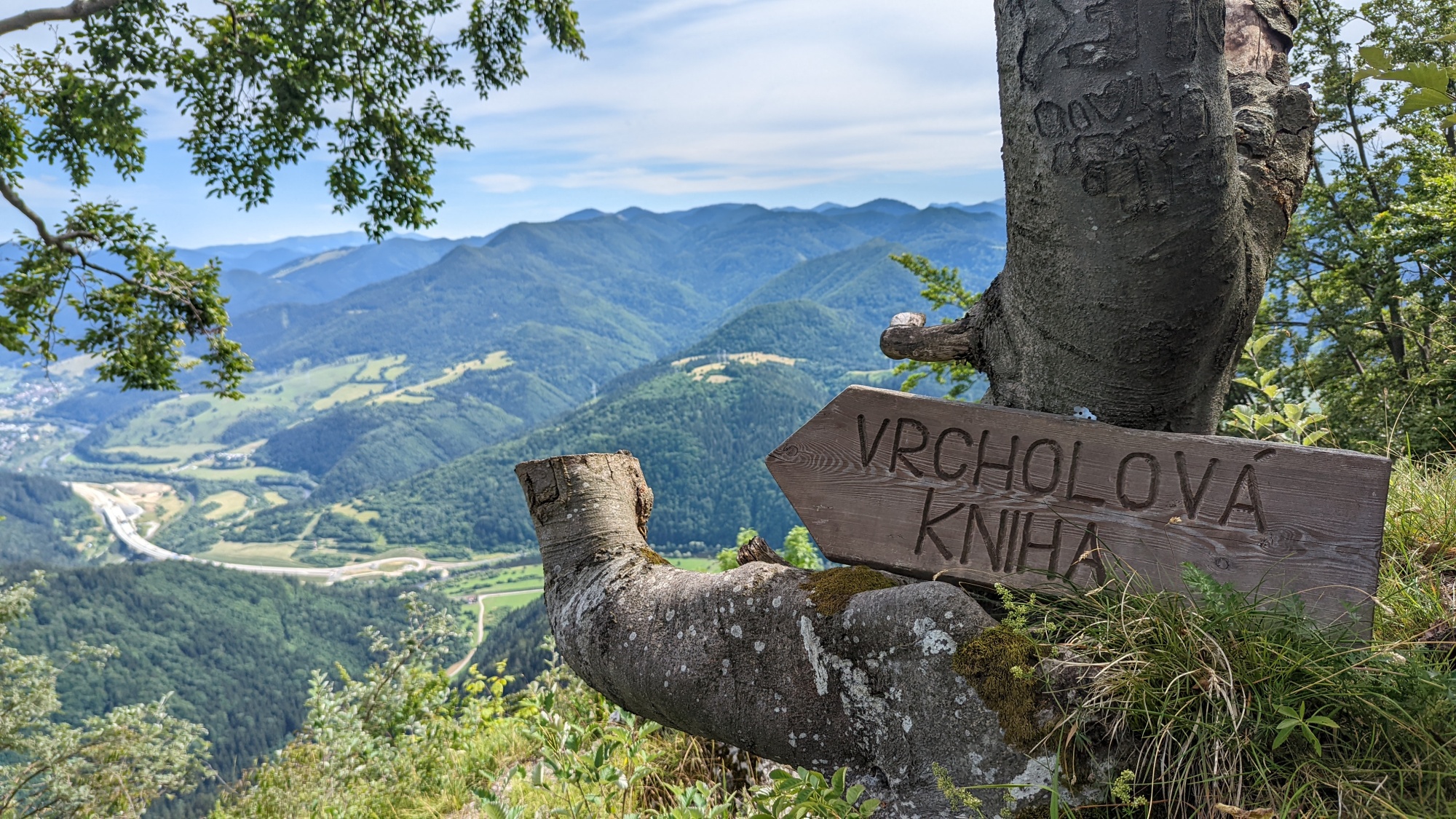
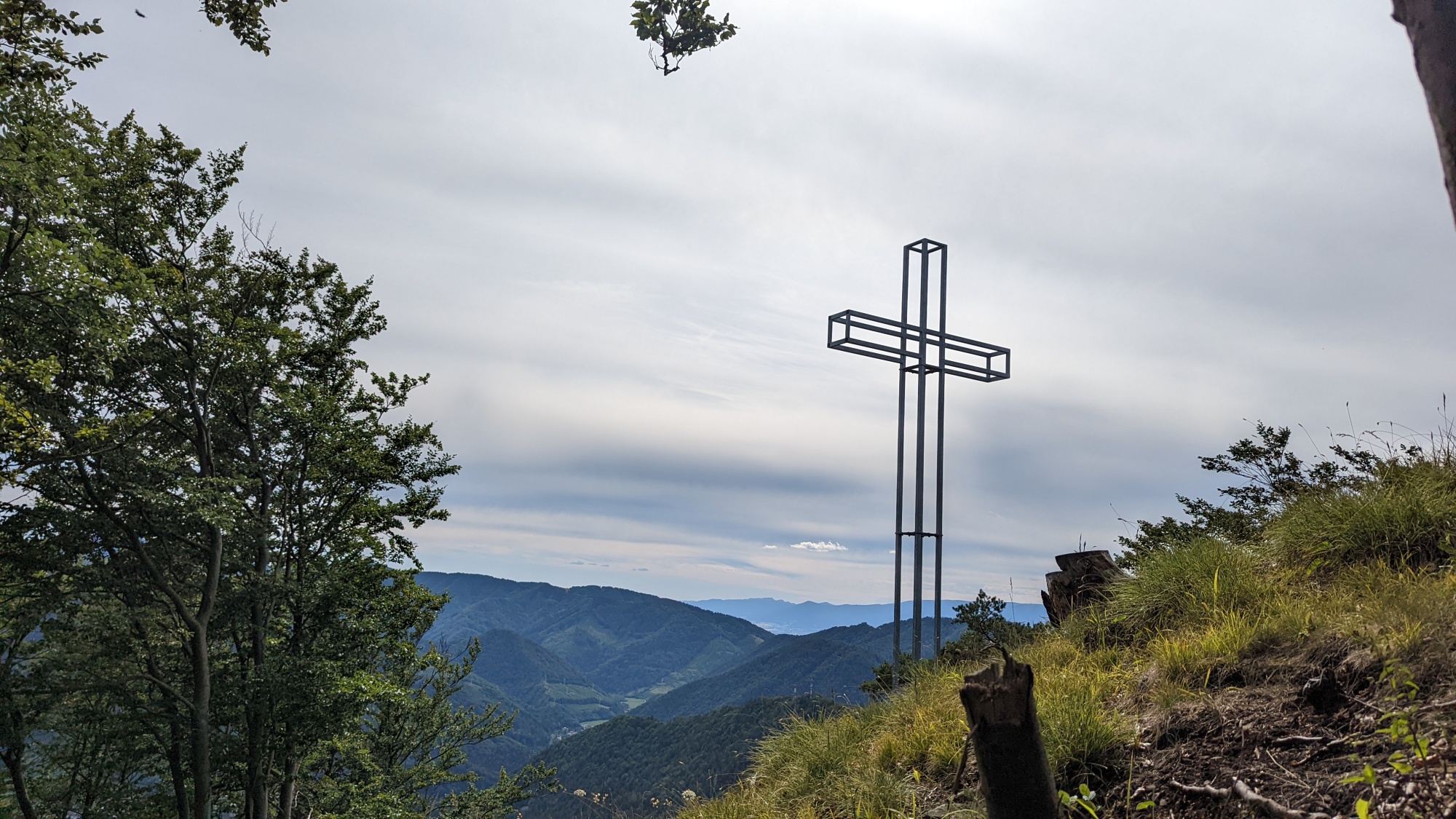
When starting from Švošov, follow the yellow trail markers to the Sedlo pod Ostrým saddle, from where a steep but only about 15-minute long climb will take you to the summit of Ostré. There are some trees on the summit but they do not obscure the views over Ružomberok, most of the lower Liptov and Orava. There also is a fire pit at the top.
Access and parking
The route from Švošov is also accessible by train. You can park the car in the villages.