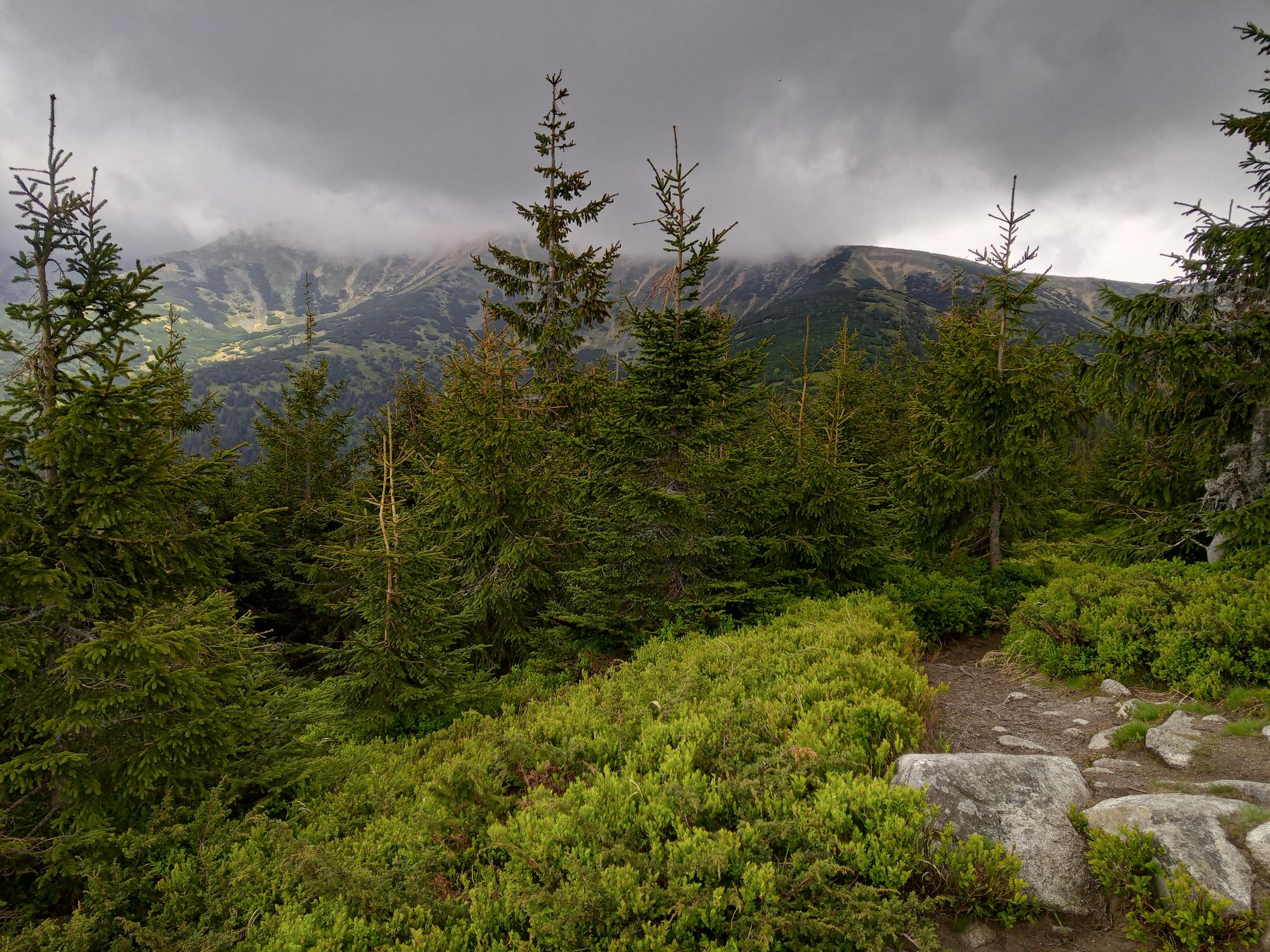
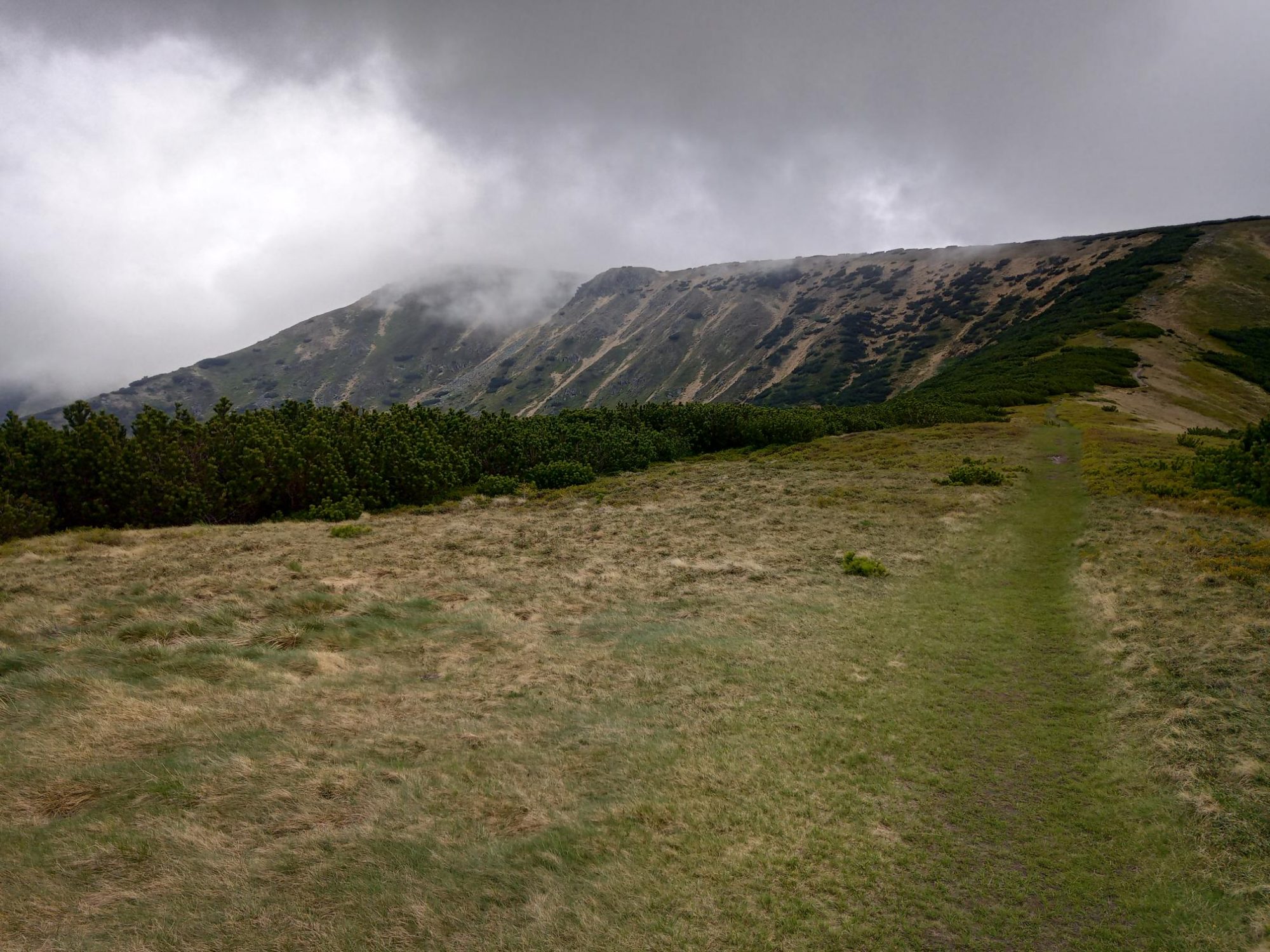
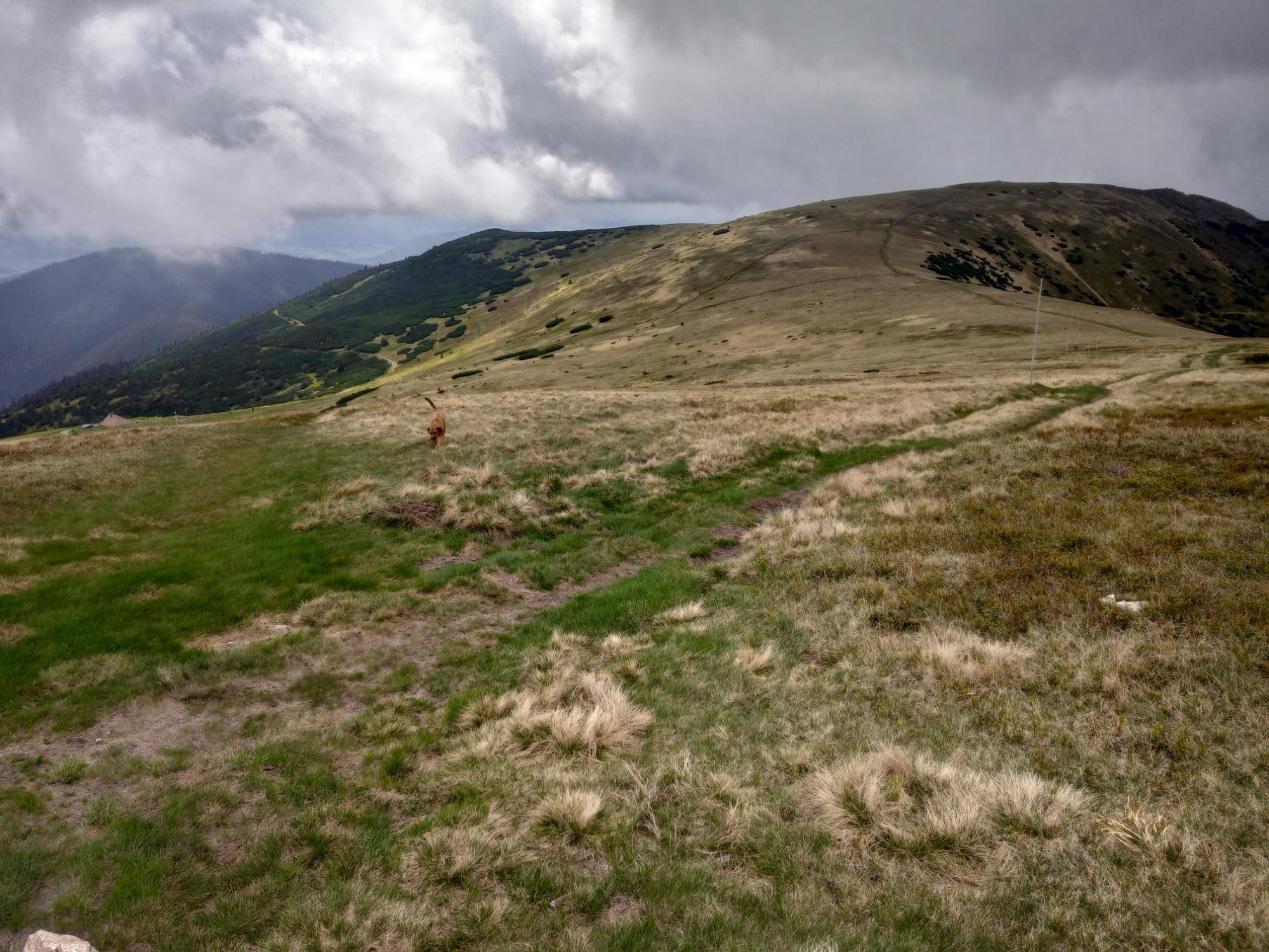
Chabenec (1955 m.a.s.l) is a majestic mountain on the ridge of the Western Tatras offering views to all directions. The route starts in the Magurka settlement, where gold as well as silver and antimony was mined in the past. You can learn more about the history of mining by following the Magurský zlatý chodník trail which kids will enjoy as mush as adults.
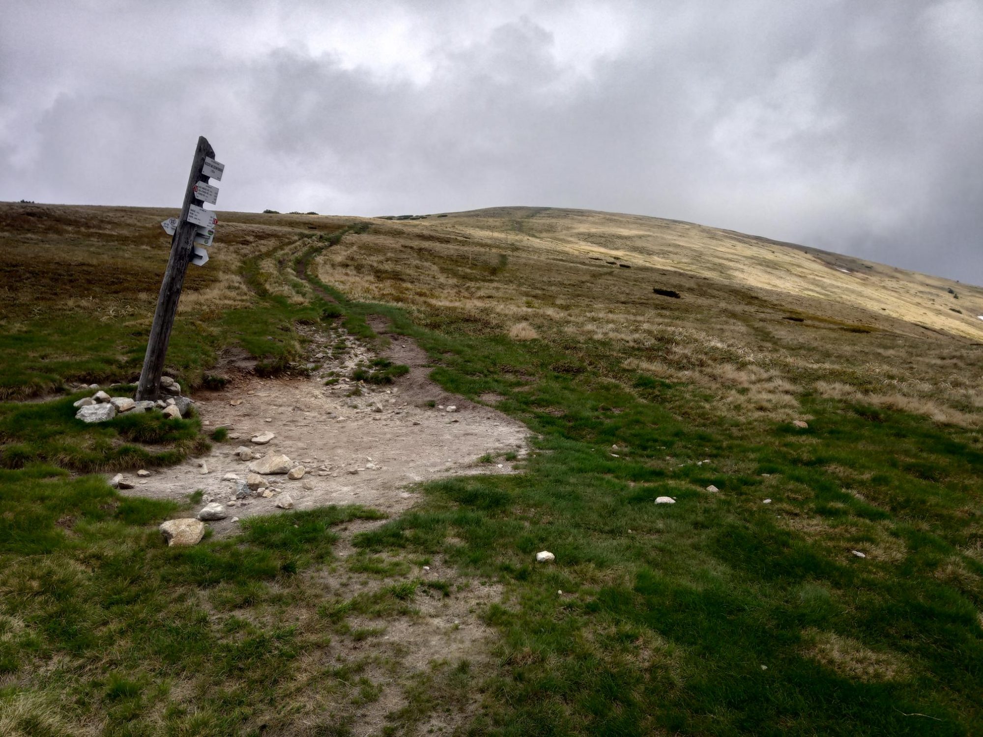
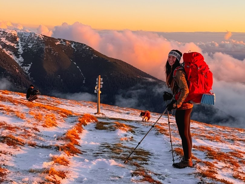
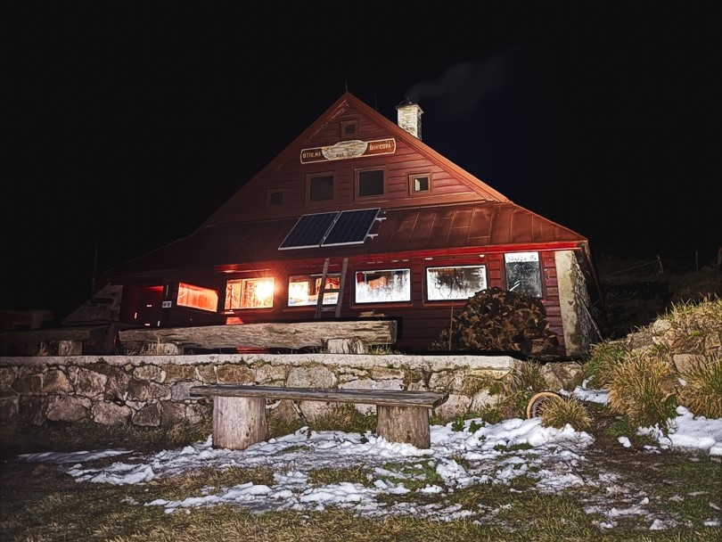
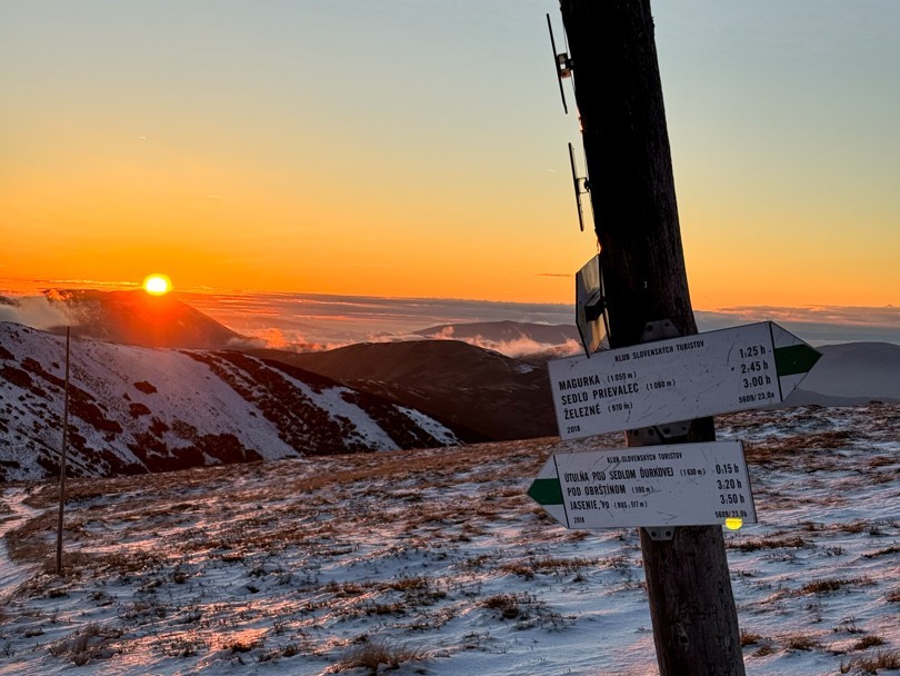
Follow the green markers towards the Ďurková saddle. At the Nad sedlom signpost, follow the red route markers towards Malý Chabenec and to the top of Chabenec. Once you have had your fill of great views, you can return to the Magurka setllemenet using the same route or you can extend the route by walking to the Útulňa Ďurková mountain hut, which is located below Mt. Chabanec and is a popular resting place for people hiking the ridge of the Low Tatras.
There is free parking in the Magurka settlement, but the access to the settlement is via rural, narrow road that often gets icy in winter.
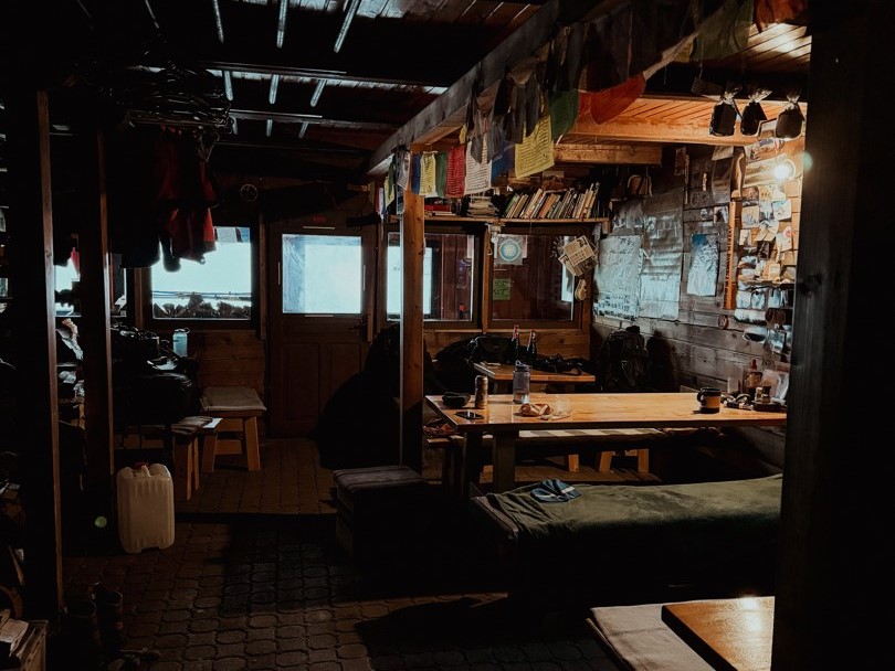
A popular Magurka chalet located right in the settlement offers both accommodation and delicious cuisine. There is also the Útulňa Ďurková mountain hut offering shelter for the night. The hut is mainly used by hikers crossing the ridge of the Law Tatras. It is located below the saddle, so you need to descend a few metres form the route to get there, but the refreshments and the atmosphere are worth it. Just a few kilometres away, there is the Železnô recreation resort with accommodation and a pleasant snack bar on-site.