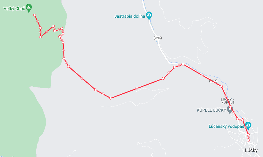
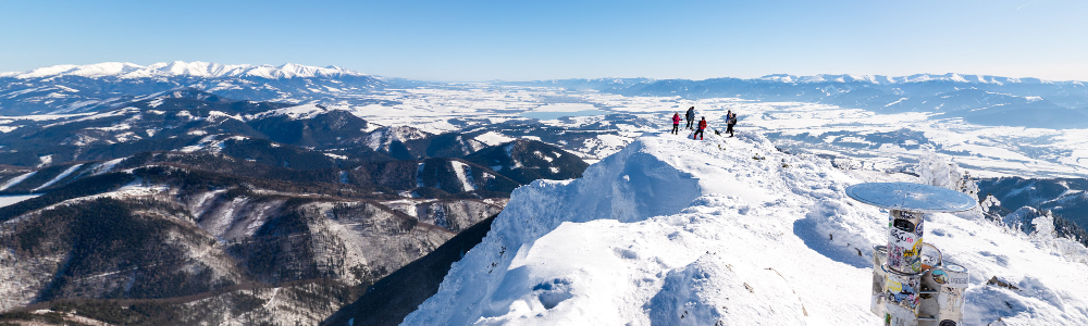
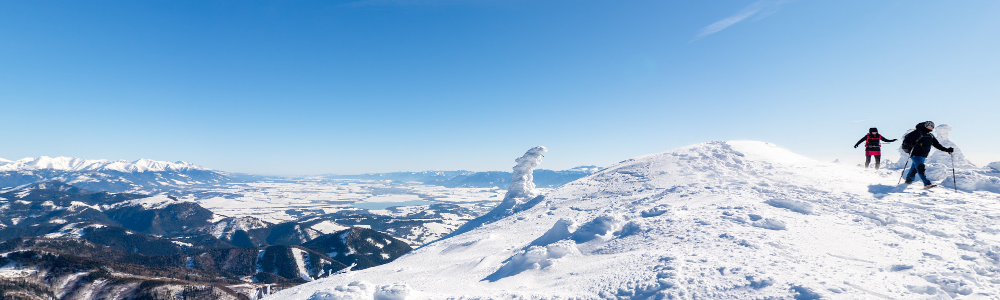
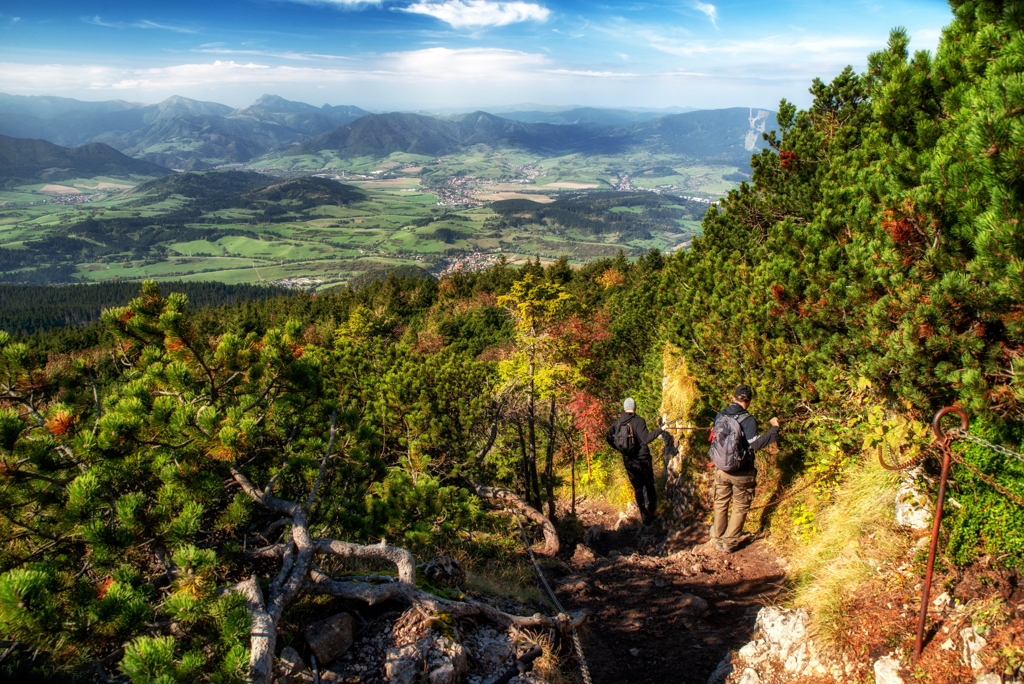
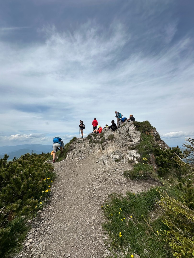
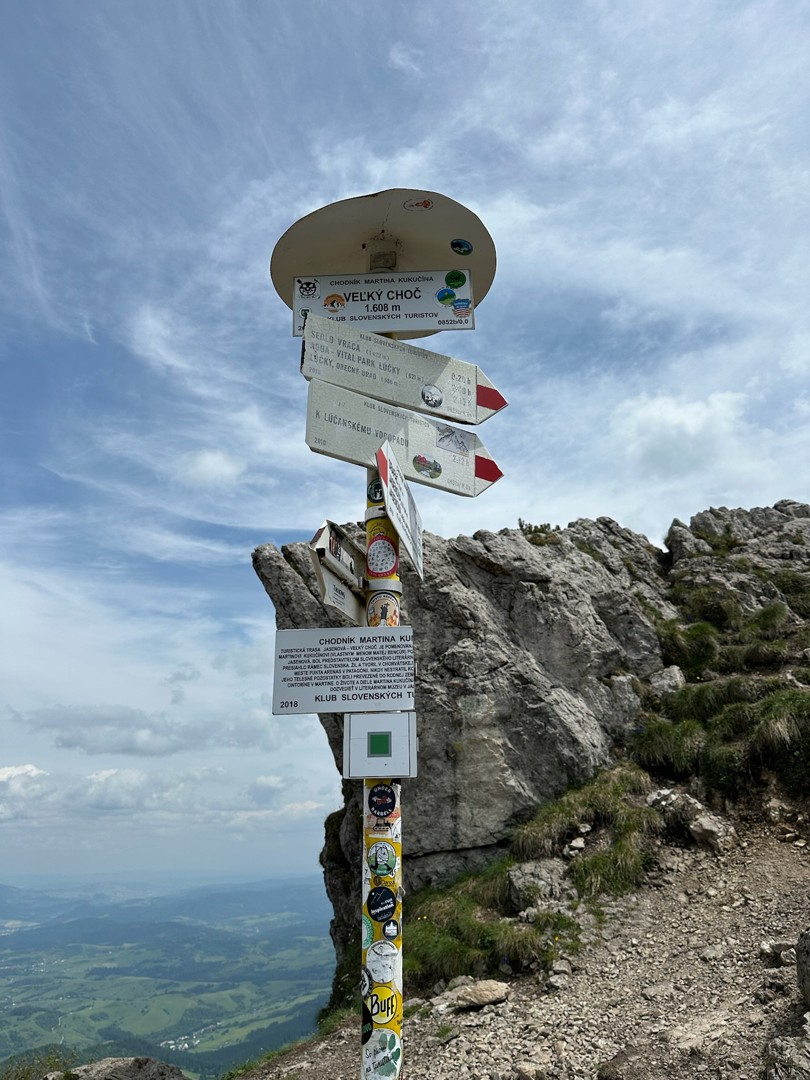
The route is parallel to the red hiking sign, with the exception of the detour to stop 3. At the end, the educational trail leads through a high mountain environment, where you need to be especially careful in the steep part. The last information panel of the educational trail stands in the Vrác saddle about 30 minutes from its destination at the top of Veľké Choč.
Names of information panels:
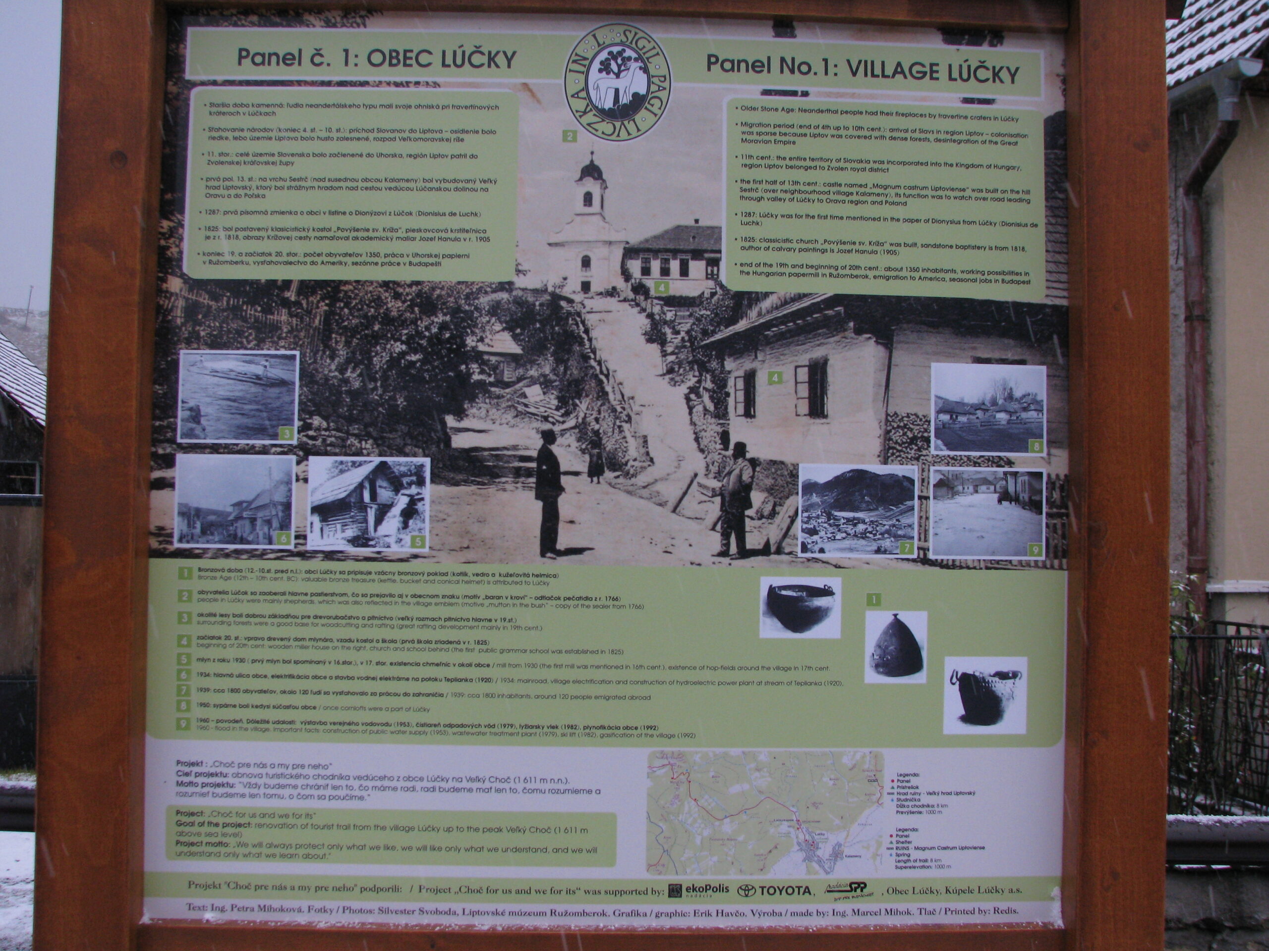
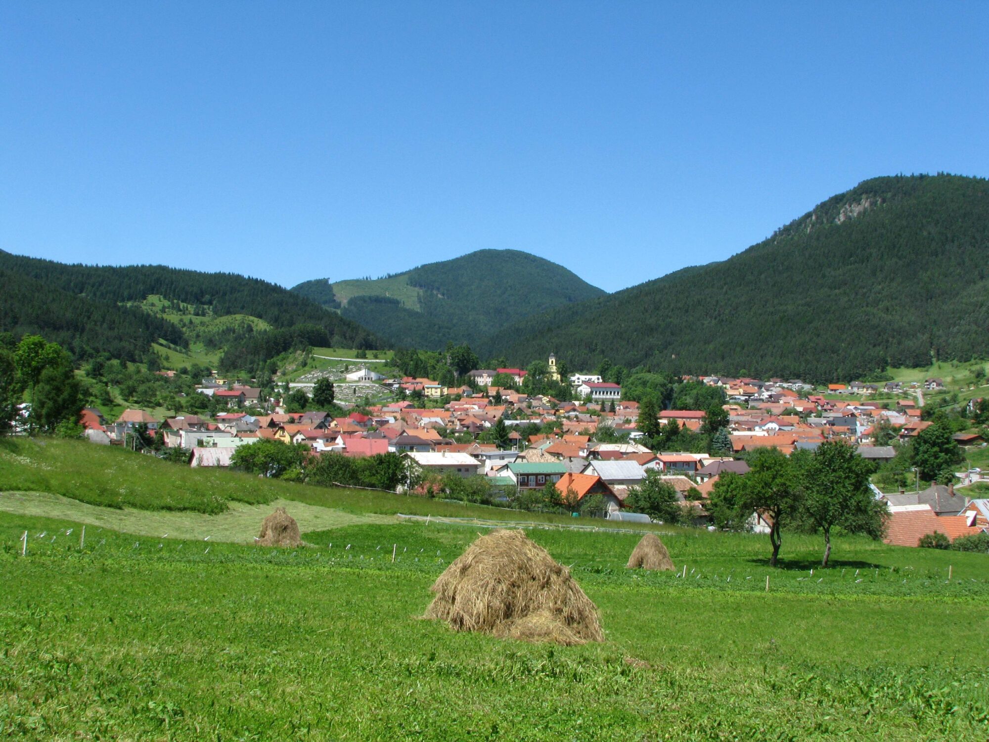
1. Lúčky village
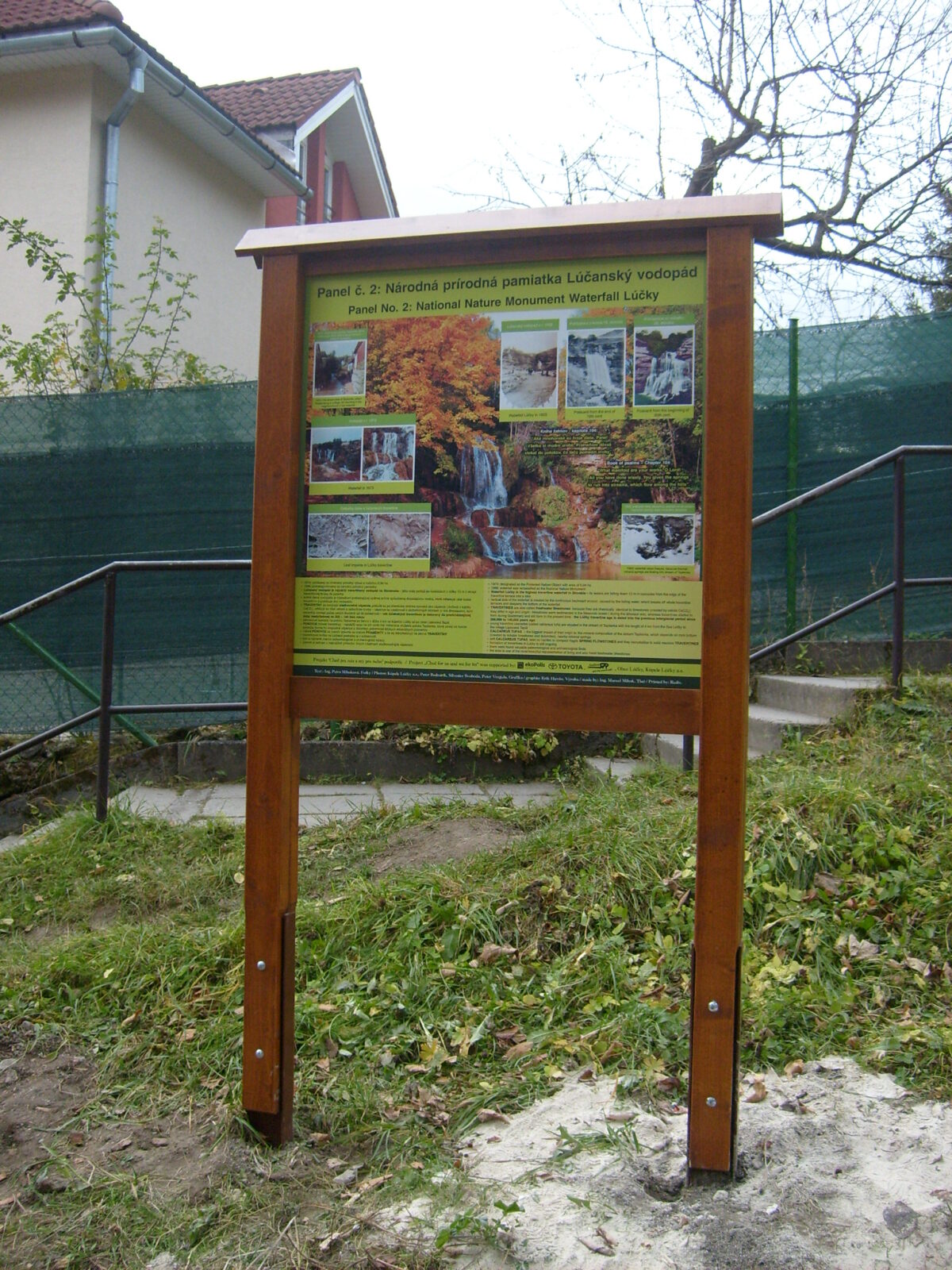
2. National natural monument Lúčanský waterfall
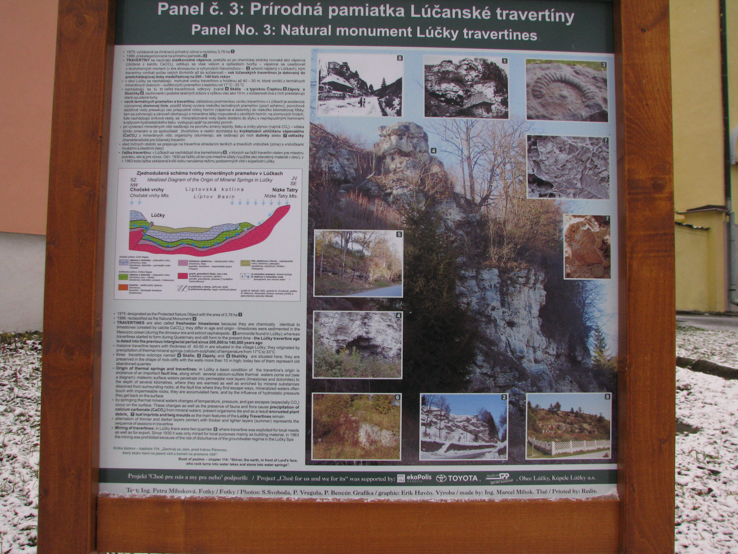
3. Natural monument Lúčanské travertine
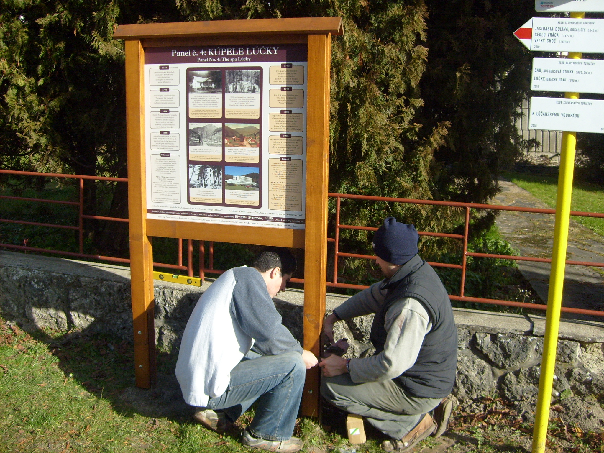
4. Spa Lúčky
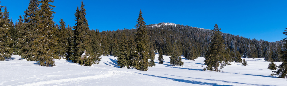
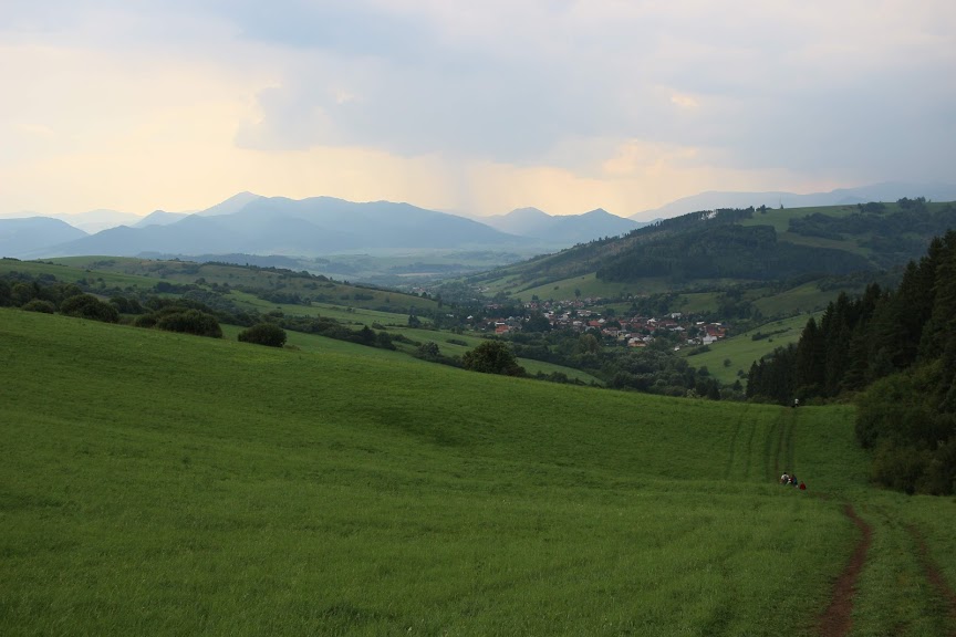
5. Choč – Žimerová meadows
6. Choch – forest area
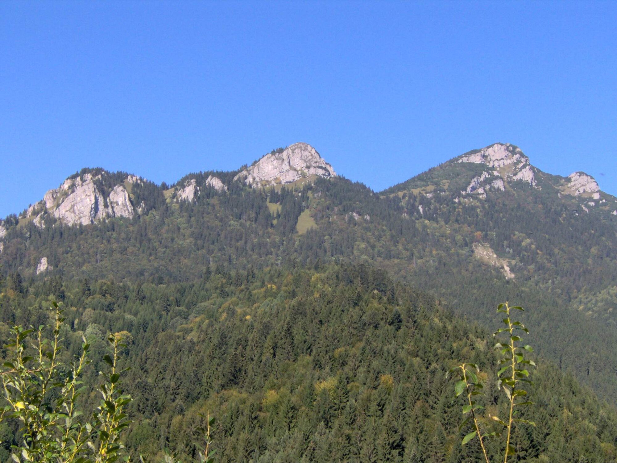
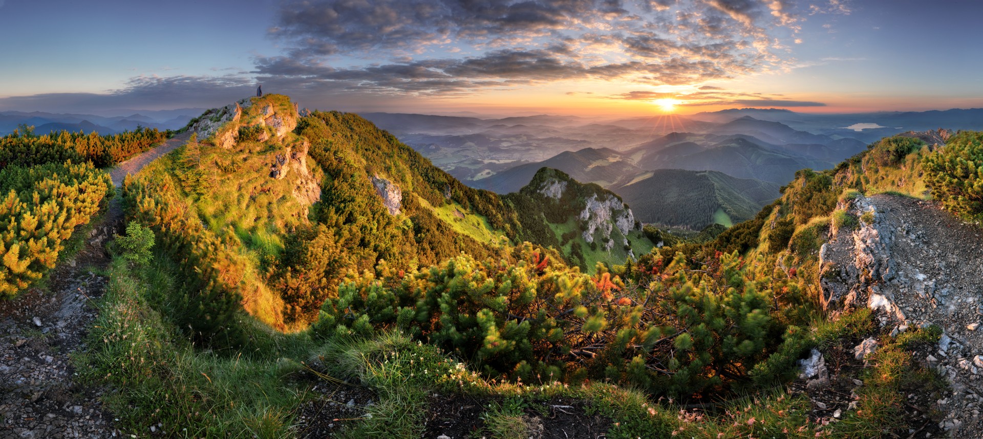
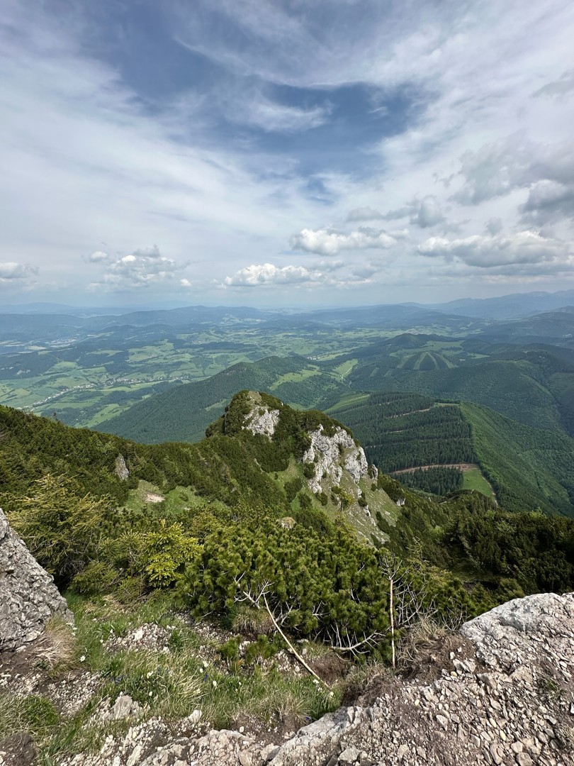
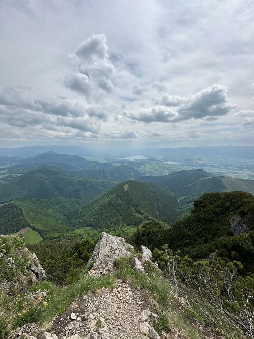
7. Choč – alpine range
The information panels in the field are not marked with the name of the nature trail.
Parking is possible in the village of Kalameny.
You can stay in Kalameny or Lúčky.