Although the Demänovská dolina valley is one of the most visited mountain areas in Slovakia, there are still places with not too many people around. One of such places is the Vyvieranie gorge, from where you can continue to the Pusté mountain, Krakova hoľa mountain and the Demänovská hora mountain.
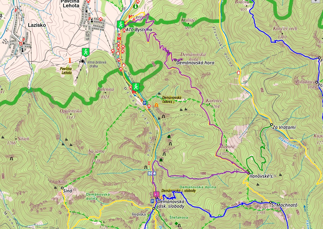
The route is not circular, so you need to use public or other transport. Park the car at the ATC Bystrina camping grounds located at the beginning of the village of Demänovská Dolina, near the turn off to the Pavčina Lehota village. Right at the turn off, there is a bus stop that will take you to the Demänovská jaskyňa slobody cave.
From there, follow the green trail markers down the valley alongside the Demänovka river.
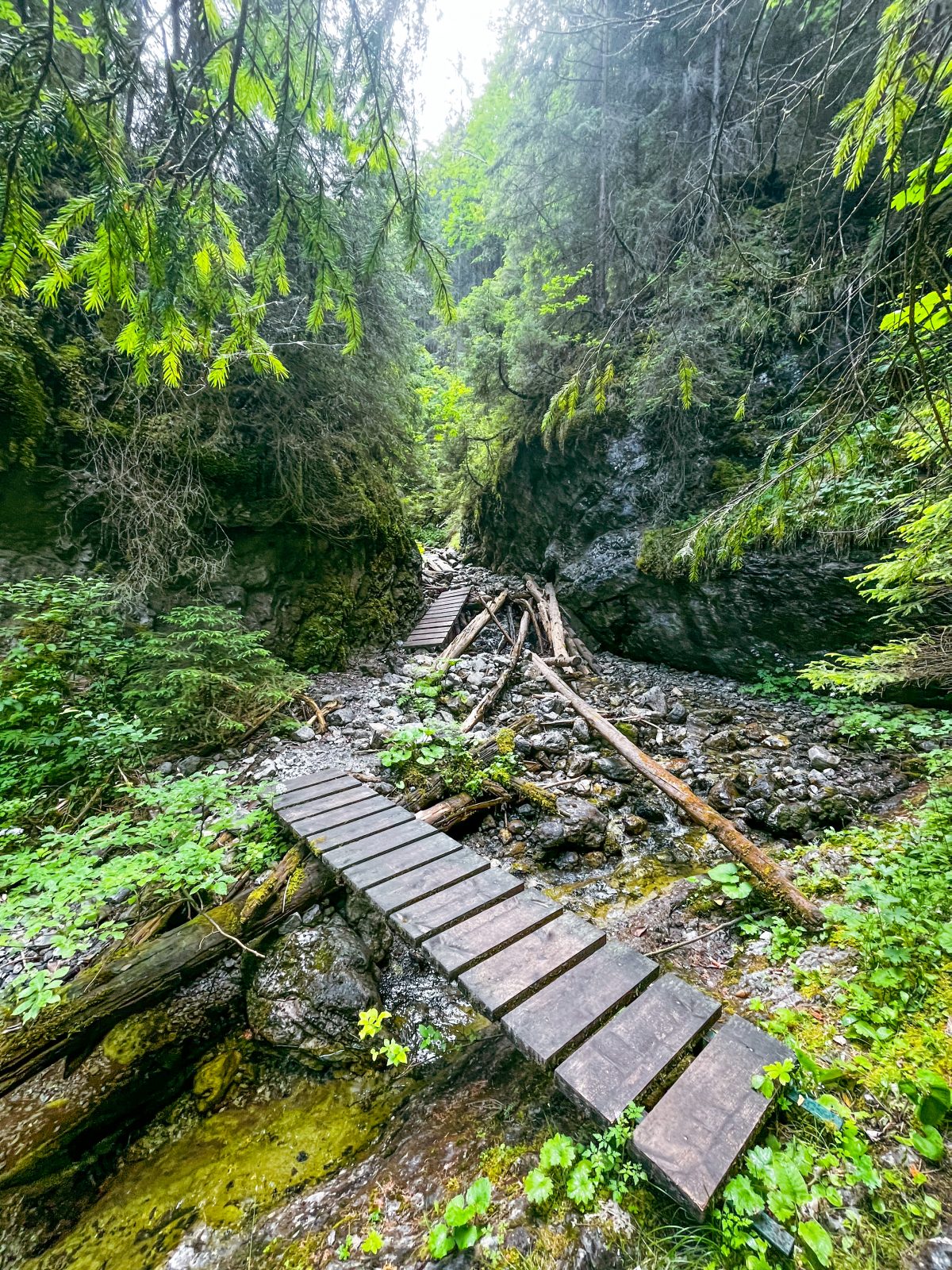
The route runs alongside a busy road leading to Jasná, but the road noise is minimal. Continue over small bridges to the confluence of the Demänovka river and a stream flowing from the Dolina Vyvieranie valley and welling up from the depths of the karst underground. After you enter the Dolina Vyvieranie valley, the trail will lead you along the bed of a stream which is not wide nor deep. Since the valley is a part of the National Nature Reserve, there are some fallen trees as well as trees that have been pruned in order not to block the trail along the way. The valley starts opening up in the middle part of the route. Later, the route gets quite steep and serpentine, taking you to the side of the valley and out of the woods. At one point, the trail crosses a creek with rock cascades. The part of the route leading from the Iľanovské sedlo mountain saddle to the bottom of the Demänovská hora mountain is flat.
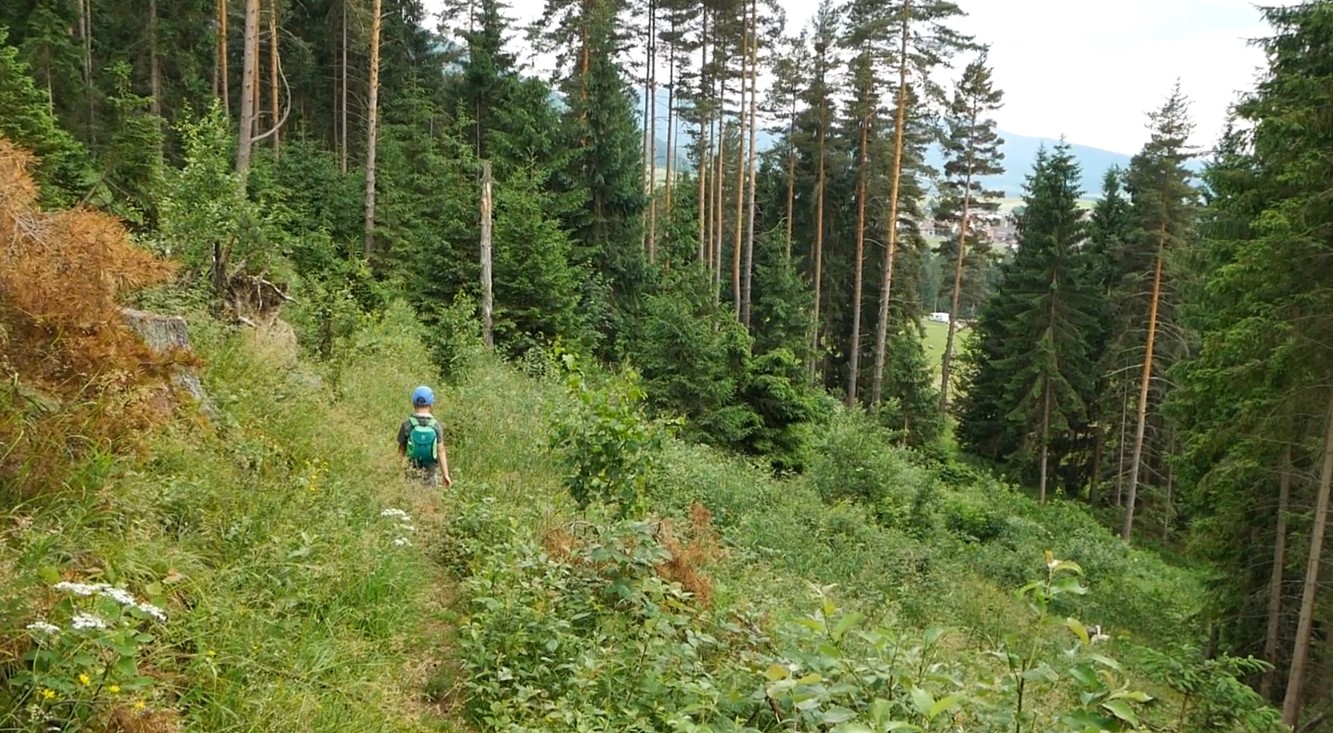
It will take you along a quiet traversing path located just below the ridge. NAPANT (Low Tatras National Park) maintains the route, so the path is very comfortable. The landscape changes again and the scent of pine trees fills the air. At the western side of the Demänovská hora mountain, which is the last peak of the ridge, the path will lead you to a panoramic grassy and rocky terrace overlooking the Demänovská dolina valley, the Liptovská Mara dam, Liptovský Mikuláš and its surrounding.
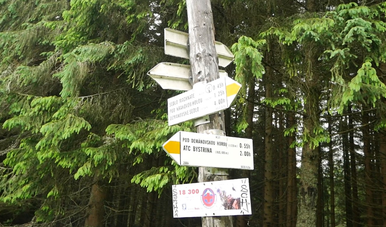
The yellow trail markers will guide you to the crossroad from where it is possible to reach the Demänovská hora mountain as well. Continue towards ATC Bystrina instead. The ascent is steep but short, so most people can make the summit with no problems. The circular views you will get are glorious and definitely worth taking a short breather for. At the peak, you will find a small wooden cross and a visitors book for you to sign.
The descent is quite steep at the beginning but the trail serpentines make it easier. On the whole, the hike is very pleasant and not tiring. The route finishes at the ATC Bystrina camping grounds.
You can park the car at ATC Bystrina. The car park has sufficient capacity.
You can also get here by local bus. Bus timetables>>>
The villages of Pavčina Lehota and Demänovská dolina have a range of accommodation and dining options.
You can find and book your accommodation here.