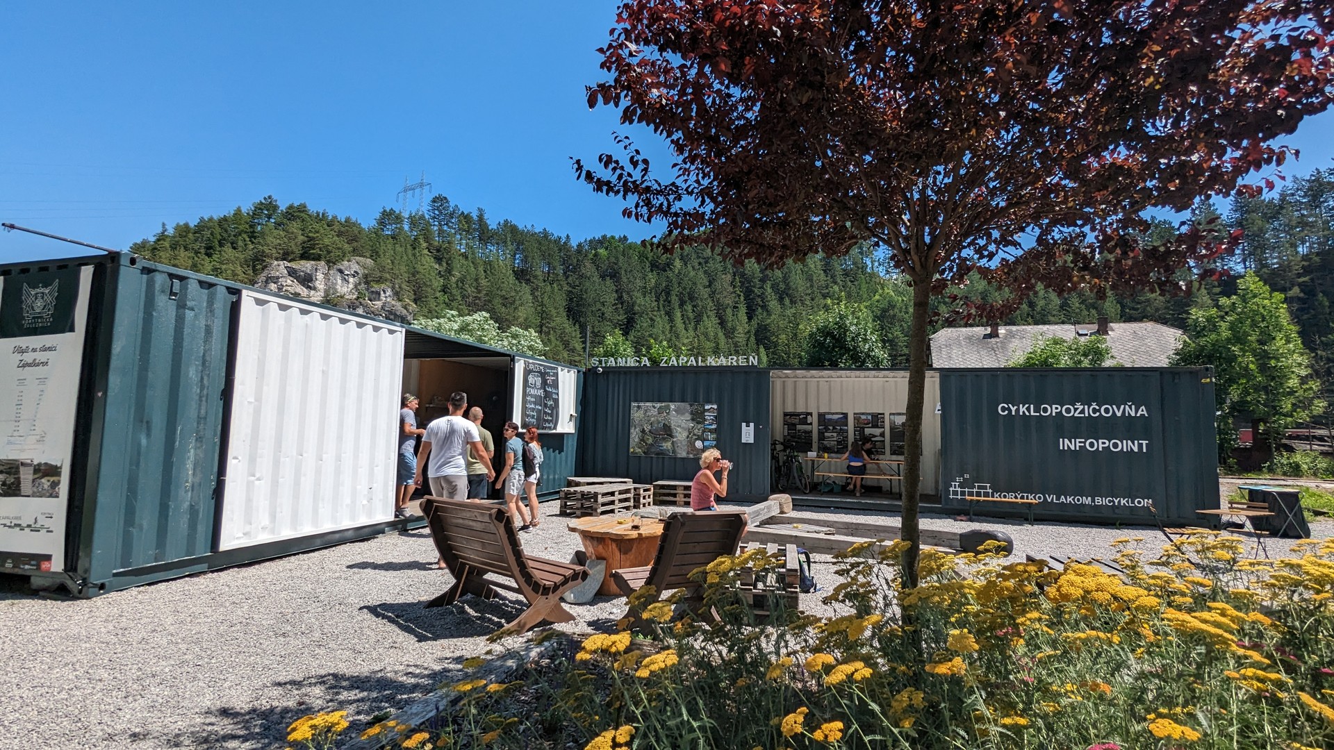
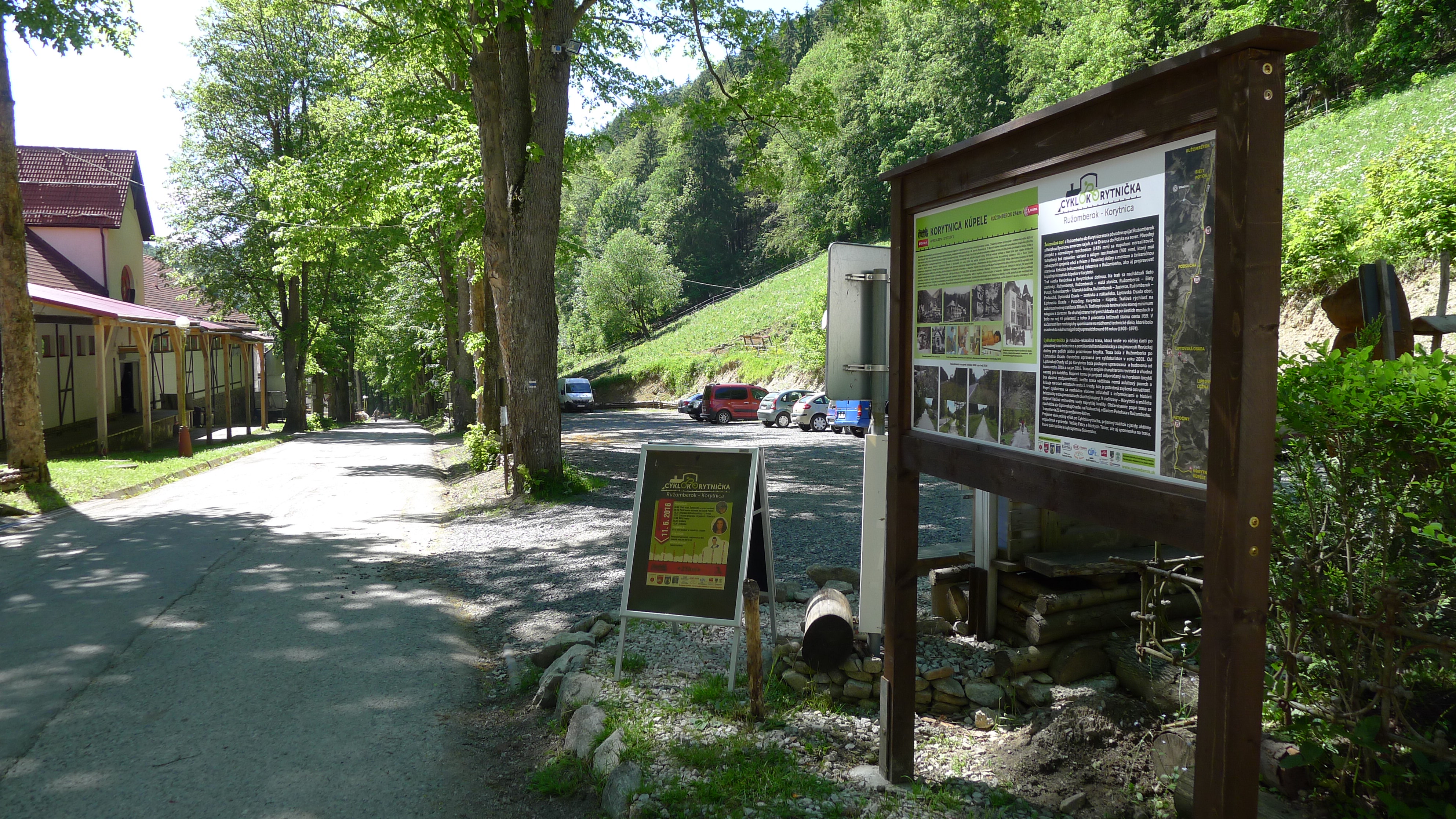
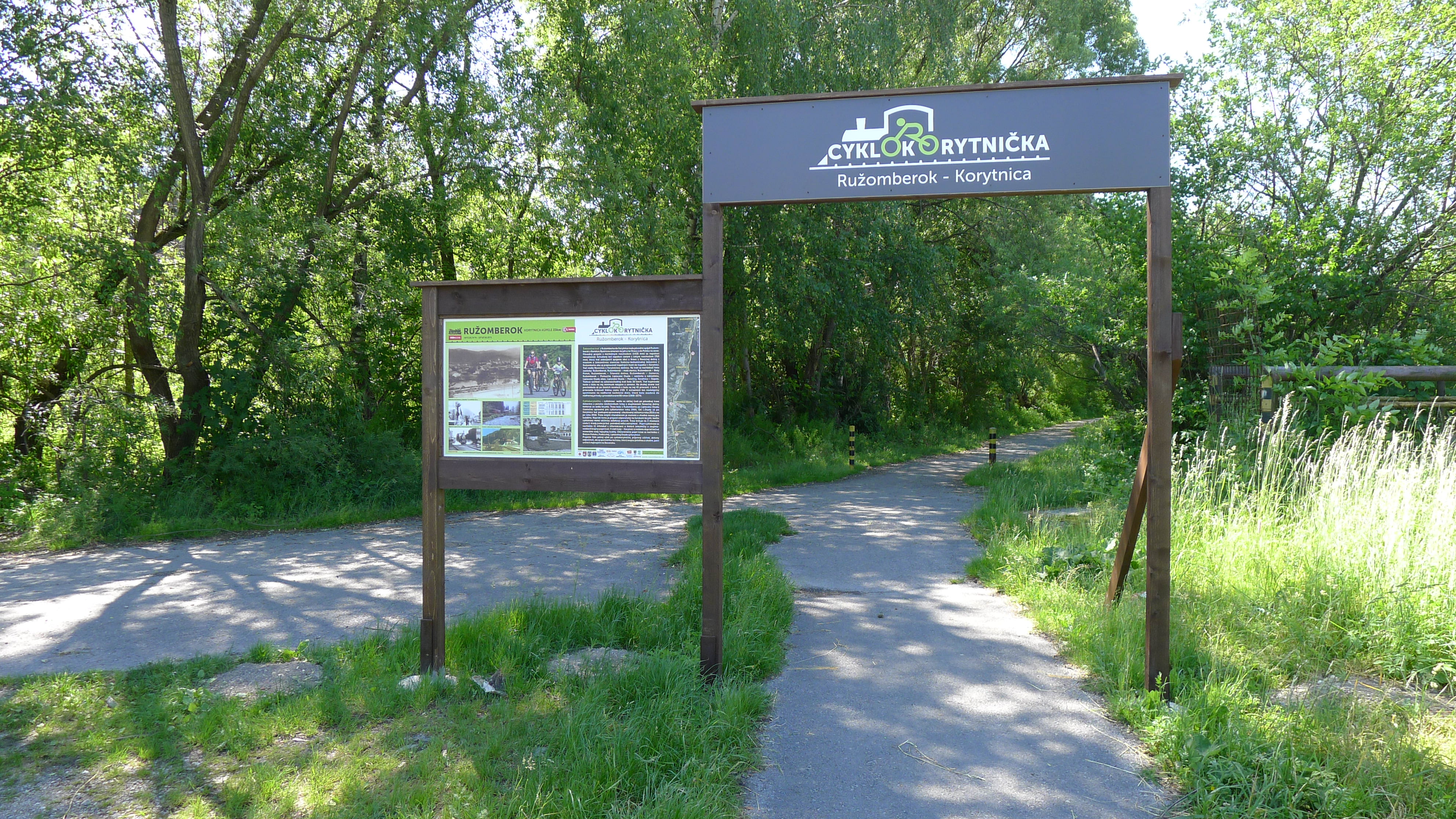
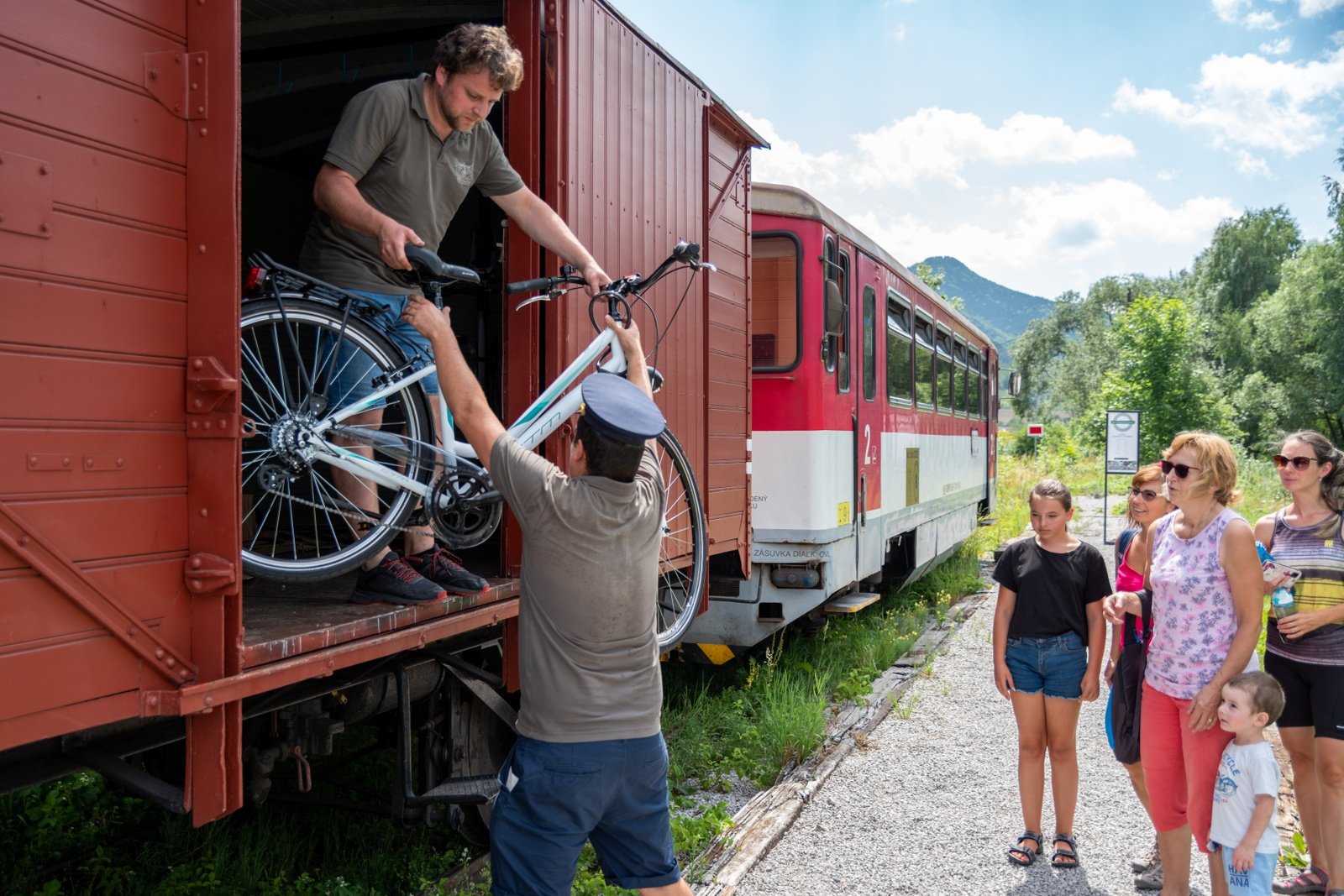
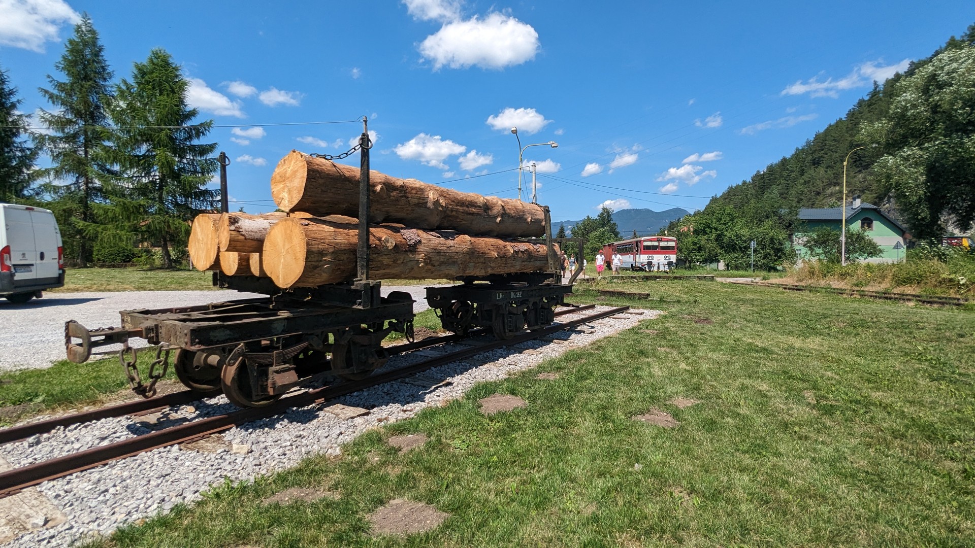
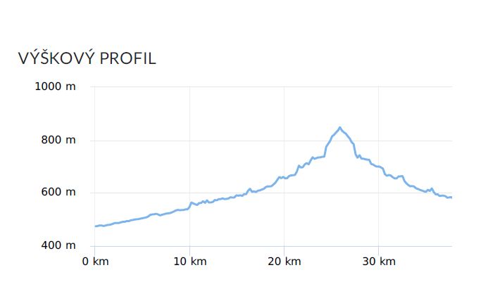
The cycle track starts in Ružomberok at ul. Šoltésová /direction Banská Bystrica/ and copies the former narrow-gauge railway on the route Ružomberok – Korytnica Spa. Along the way, we pass through the picturesque corners of the Revúca Valley, formed by the Revúca River, and learn about the history and importance of the railway through information panels. With its simple terrain, it is intended for families with children. The route measures 23 km one way with an elevation gain of 320 m and leads across the border of two national parks – Nízke Tatry and Veľká Fatra.
- Ružomberok /ul. Šoltésova, direction Banská Bystrica/
- Biely Potok
- Jazierce
- Podsuchá
- Liptovská Osada
- Patočiny
- Korytnica Spa
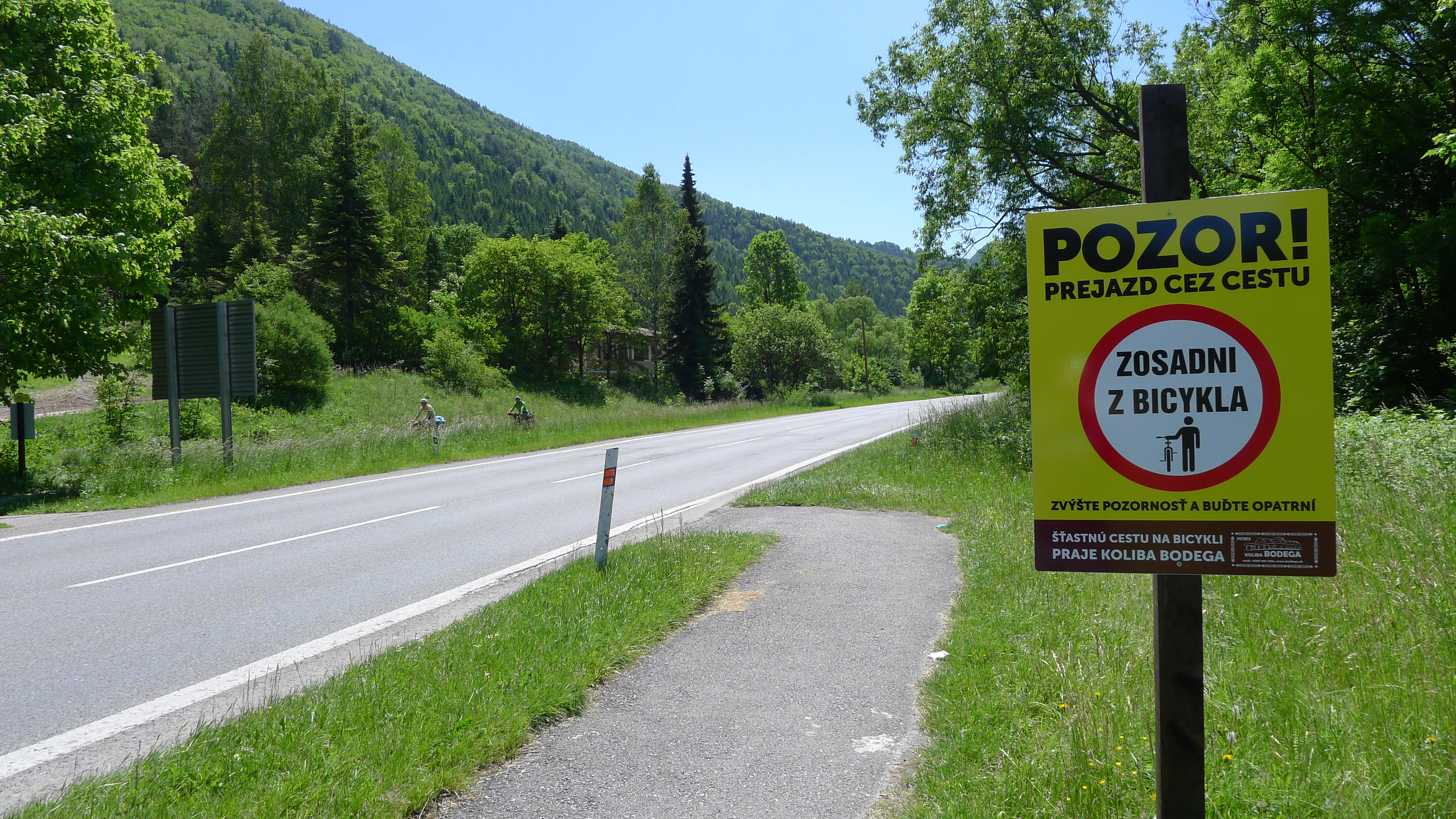
ATTENTION: The cyclokorytnička crosses the state road E77 Ružomberok – Banská bystrica in three places, therefore we recommend paying more attention to crossings.