
A cycling circuit in the peaceful surroundings of the Low Tatras
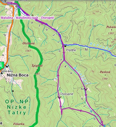
The Malužiná – Malužinský tajch – Chorupné route offers a pleasant cycling trip through the forested landscape of the Low Tatras. The circuit starts and finishes in the village of Malužiná and runs mainly along forest roads through the Malužiná Valley.
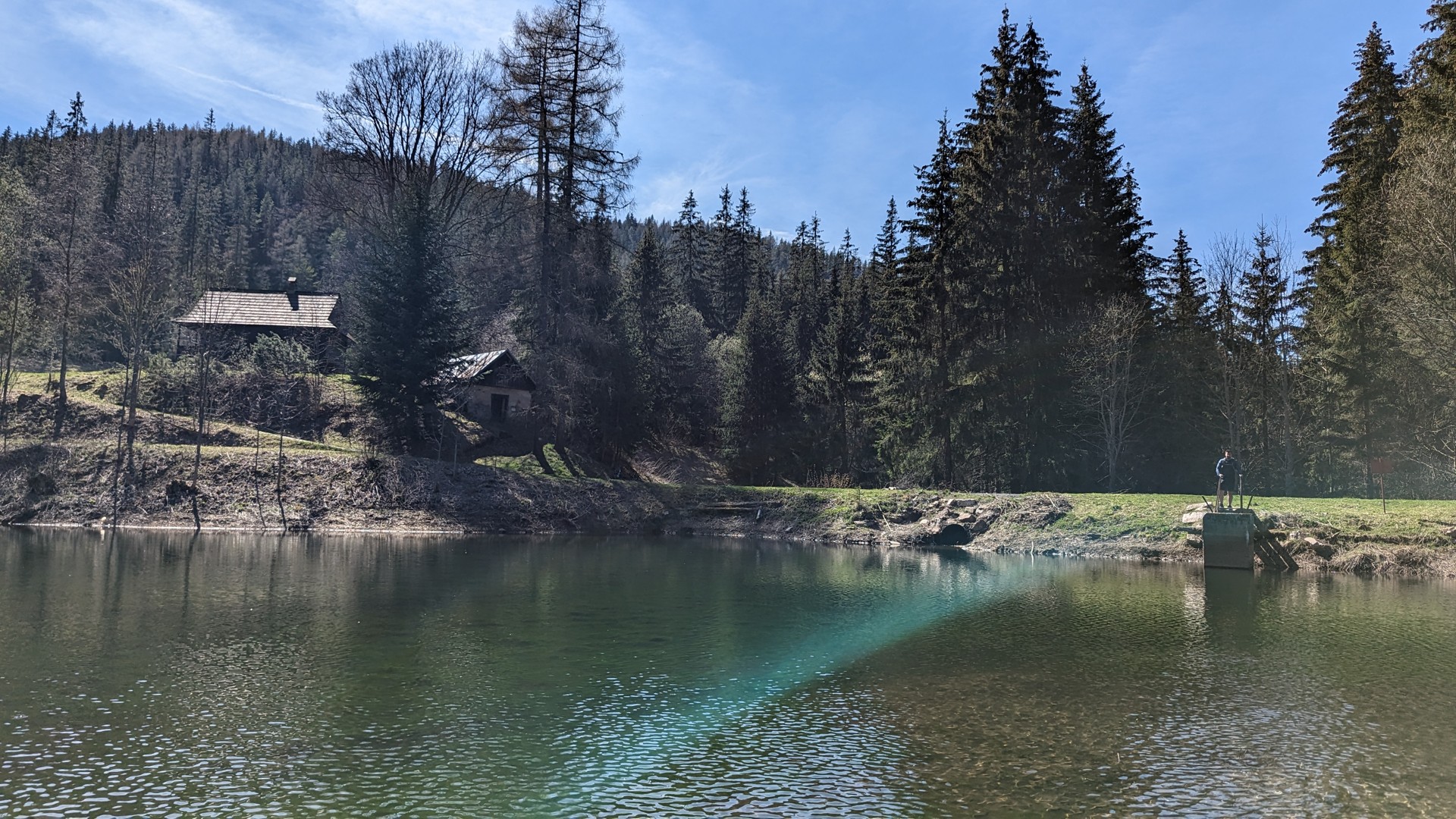
One of the highlights of the route is Malužinský tajch, a historic water reservoir surrounded by forest. From here, the route continues towards Chorupné before returning to Malužiná.
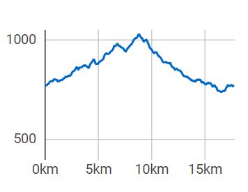
An older Visit Liptov tourism publication gives an elevation range of approximately 741–1,030 m above sea level and an estimated cycling time of around 4 hours. The actual duration depends on pace, fitness level and breaks.
From Malužiná through the Malužiná Valley
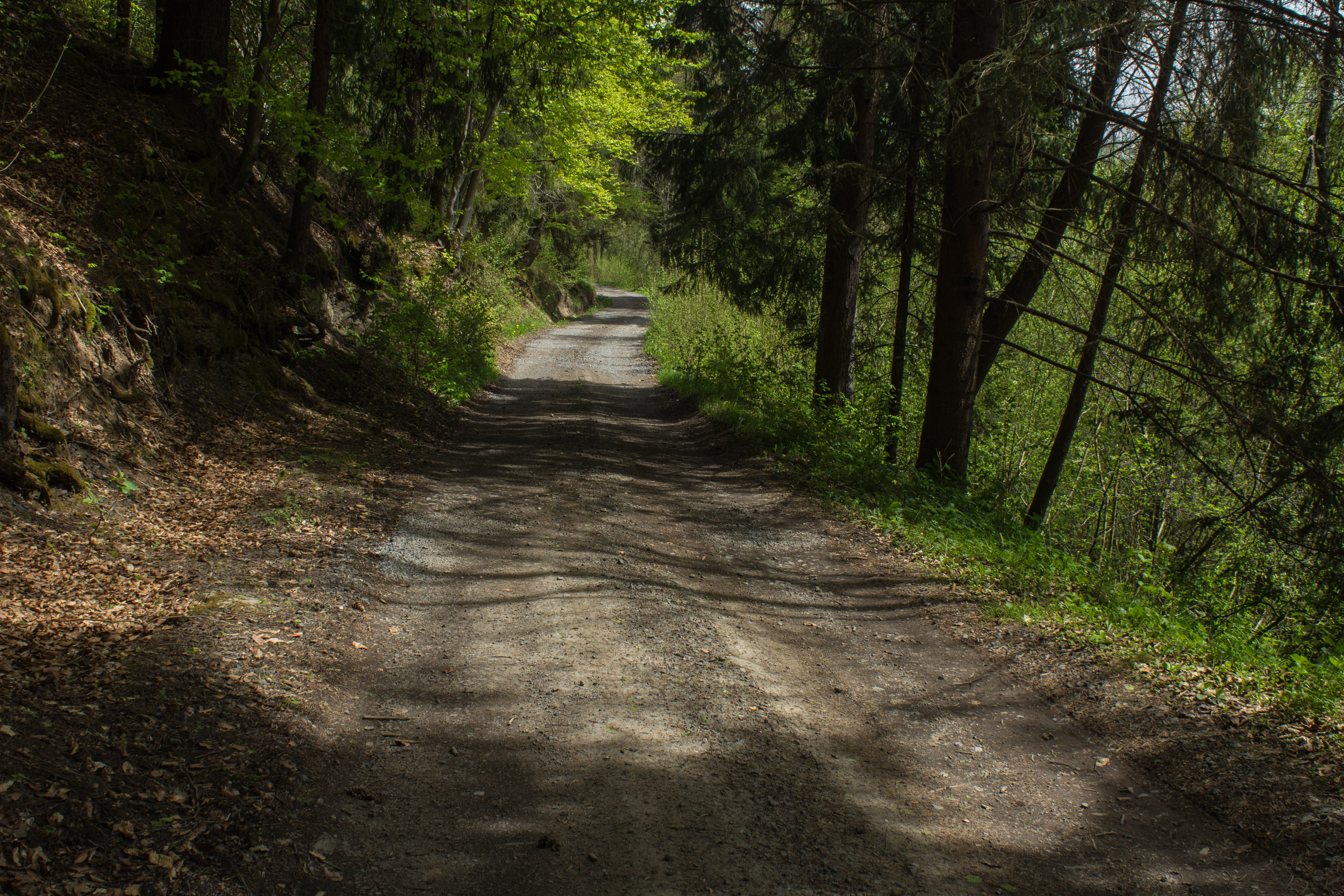
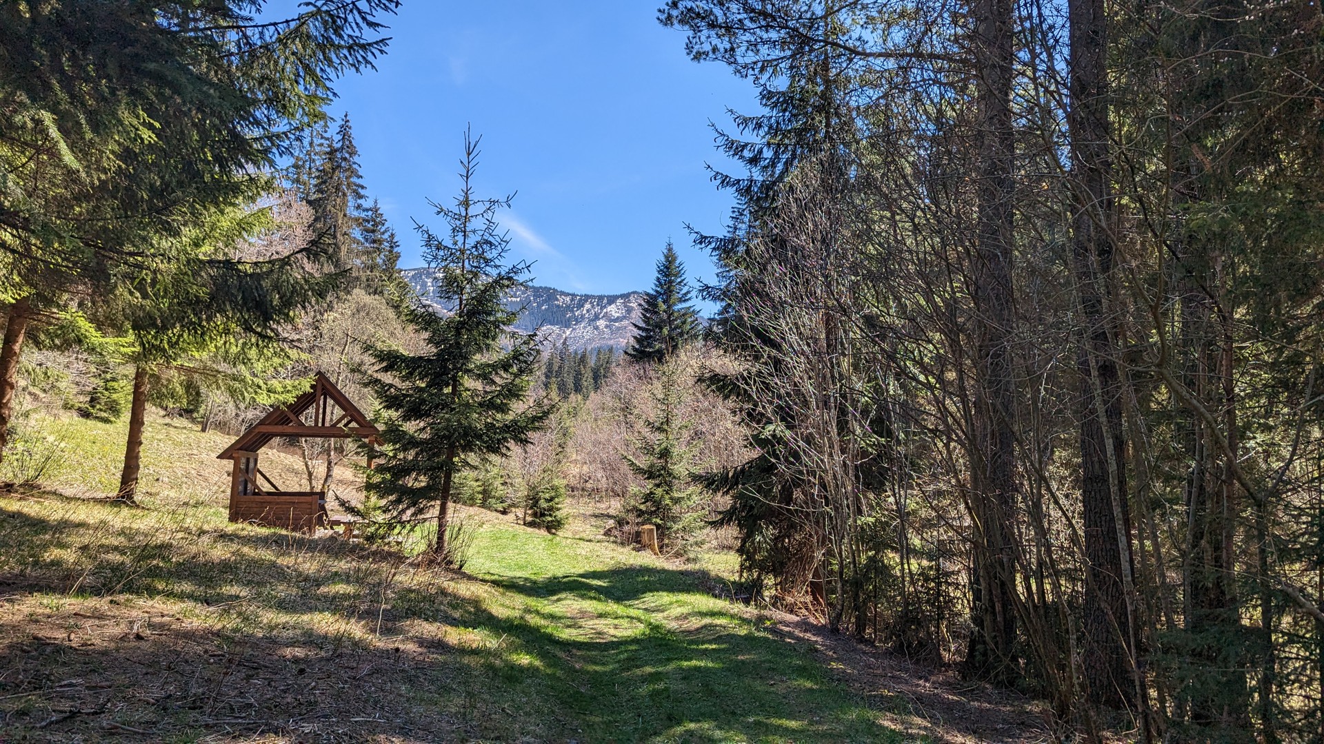
The ride begins in Malužiná. The route gradually leaves the built-up area and continues along forest roads through the Malužiná Valley.
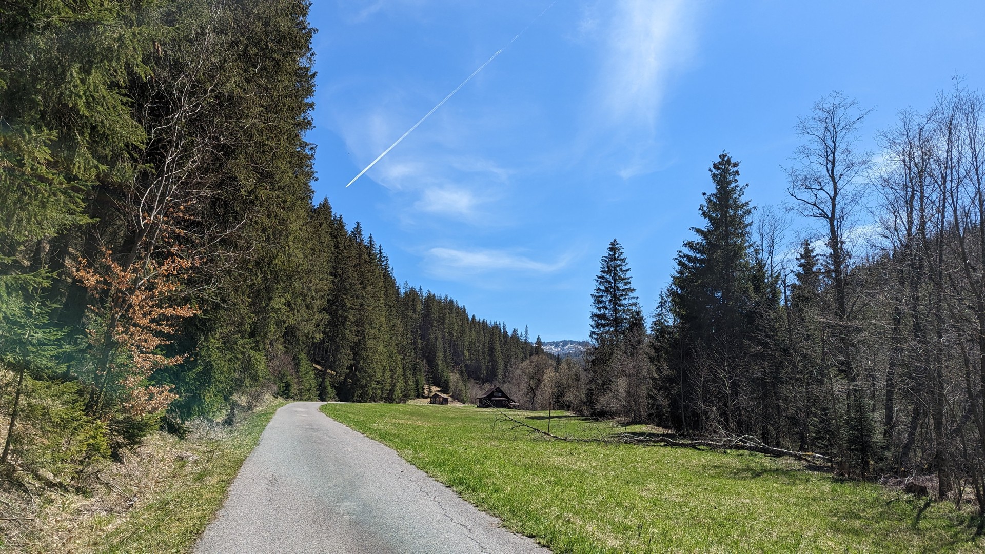
The peaceful valley and surrounding forests create pleasant conditions for a cycling trip. The route gradually takes on a more mountainous character as it approaches Malužinský tajch.
Malužinský tajch
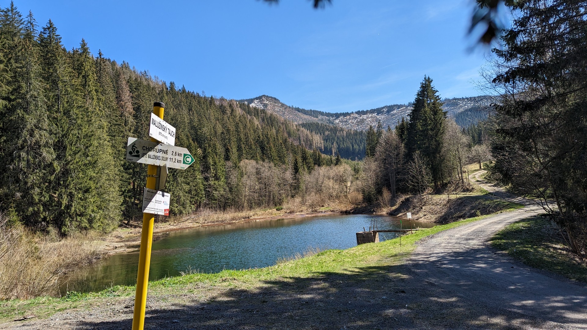
Malužinský tajch is one of the distinctive landmarks along the route. Located in the forested surroundings of the Malužiná Valley, it is a natural place to stop and take a short break.
From the reservoir, the route continues towards Chorupné, leading cyclists further through the forested landscape of the Low Tatras.
Chorupné and the return to Malužiná
After passing through Chorupné, the route gradually heads back towards Malužiná. The circuit allows cyclists to explore the surrounding forests and valleys without having to retrace the same route.
The combination of forest roads, climbs and descents makes this trip particularly suitable for cyclists who enjoy quieter routes away from busy roads.
Who is the route suitable for?
Visit Liptov classifies the route as a moderate-difficulty MTB route. It is suitable for cyclists who enjoy riding in natural surroundings and are comfortable with almost 470 metres of elevation gain.
Given its character and the presence of forest roads, the route can also be an interesting option for gravel cyclists, although the suitability of a particular bicycle depends on the current condition of the surface and weather conditions.
Practical information
Parking is available in Malužiná, which is also the starting and finishing point of the route.
When cycling on forest roads, follow current signs, any temporary restrictions and instructions from the relevant forest or road authorities. The condition of unpaved sections may vary depending on the weather.
Malužiná – Malužinský tajch – Chorupné
17.8 km | 469 m elevation gain | MTB | Moderate difficulty
A route for those who want to leave busy roads behind, ride through forest landscapes and discover the quieter corners of the Liptov region.
Parking is available in the village of Malužiná.