


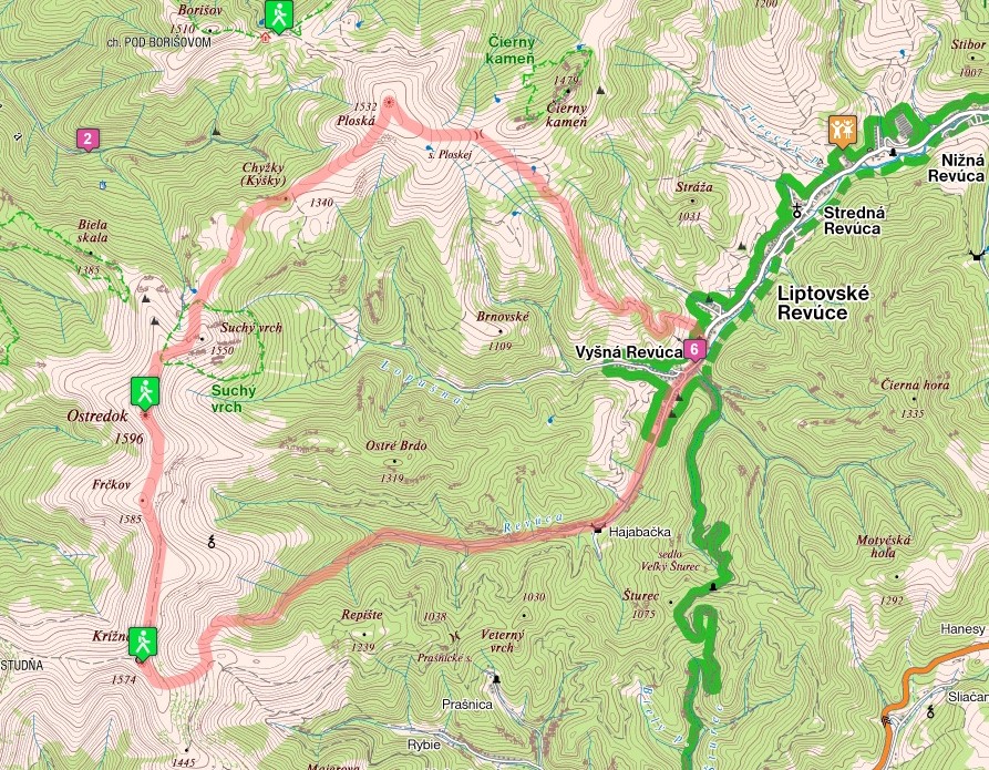
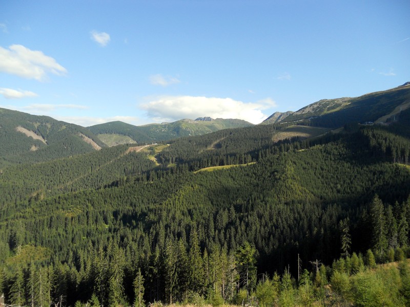
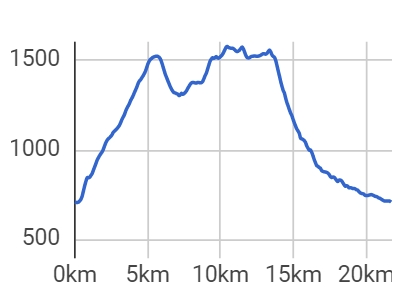
Ostredok is considered to be the highest peak of the mountain range Veľká Fatra (Great Fatra). An ascent can be carried out from the village of Liptovské Revúce, namely from the location of Vyšná Revúca. There are several routes up the mountain and we recommend a combination of routes throug the locations of Ploská and Chyžky with a return through the Zelená Valley. This trail is rugged and offers unique views of the surroundings as well as a pleasant walk through the forest. The trail has only a mild supperelevation. It is not very difficult but quite long and takes all day.
Parking is available in the village of Liptovské Revúce. Regular bus links run into the village from Ružomberok.
Private accommodation facilities are available in the village of Liptovské Revúce. There are no similar facilities on the trail just a shelter for occasional use. Food facilities can be find rarely, therefore we recommend taking enough food with you.