


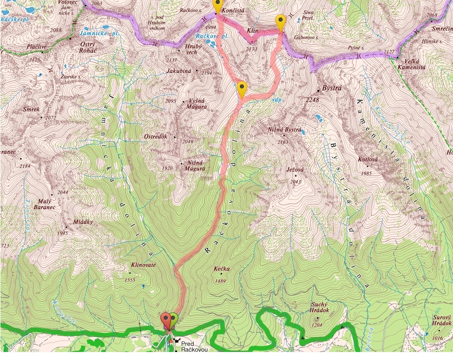

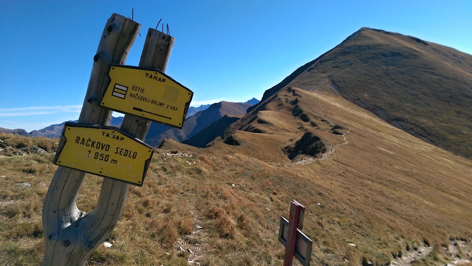
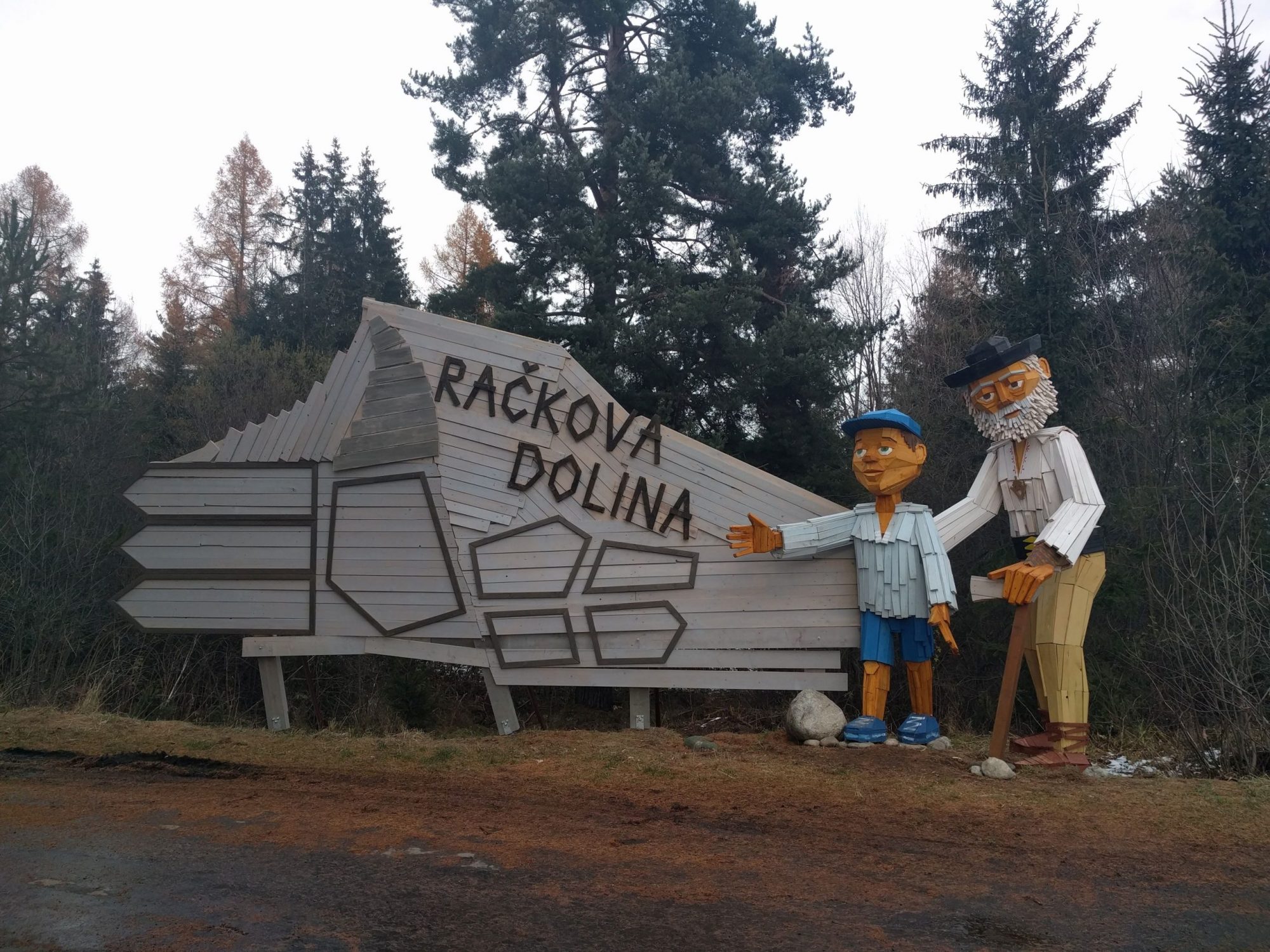
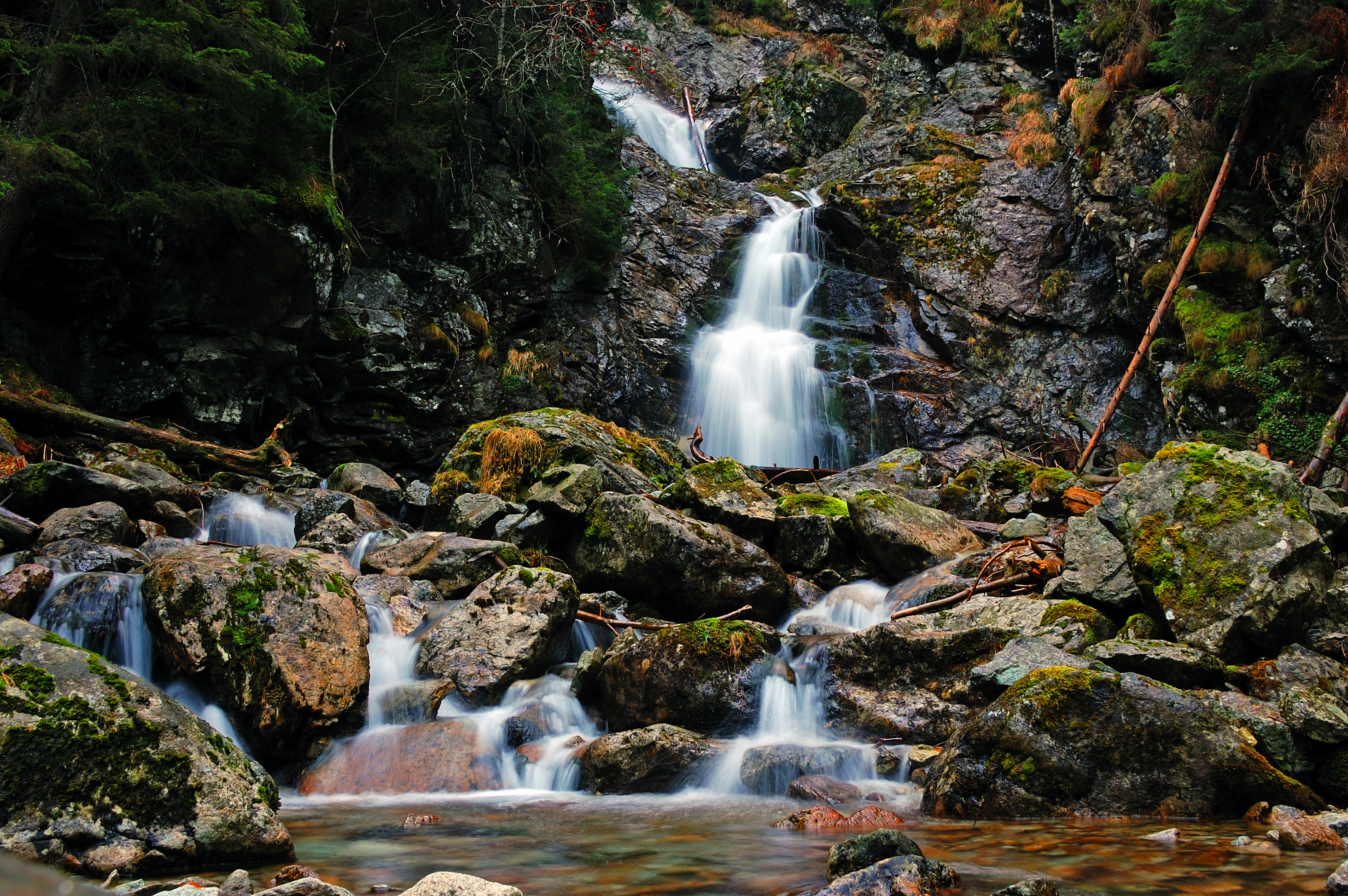
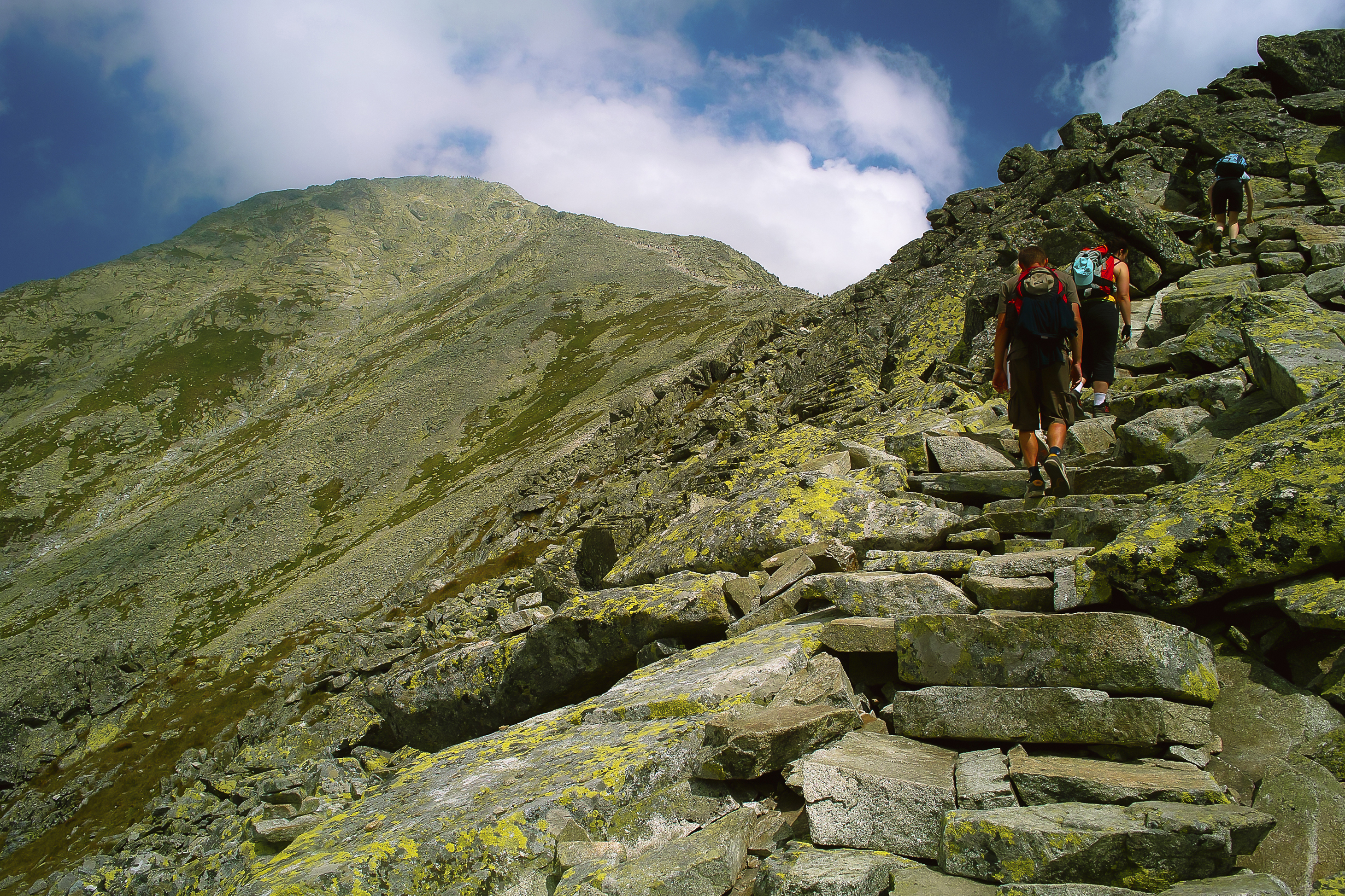
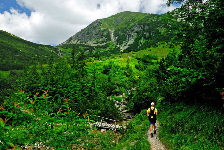
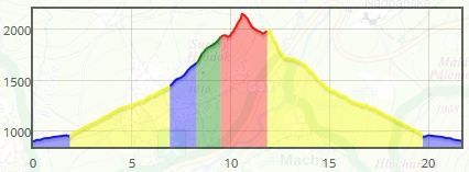
The Račkova Valley is one of the often visited valleys in Liptov. It is attractive for the Museum of Liptov Village which is located directly at the beginning of the valley close to a main road. Here is enough space for parking. Higher in the valley we can find a favorite ATC campsite and several guest houses. Mt Klin with its height of 2173m is the dominant feature of the valley. For its rugged area and amazing views of the whole region and unique mountain tarns Račkové Plesá with a walkway around, climbs up the peak are very popular. The tour is partialy circular because when we reach the locality Pod Klinom we can decide which side of the mountain to choose to go along. The tour can be enriched by a visit to Bystrá which will take only a minimum amount of time.
The nearest stop is located in the village of Pribylina
There are several guest houses and hotels in the valley besides the ATC campsite mentioned above.
(Náhľad mapy: hiking.sk)