


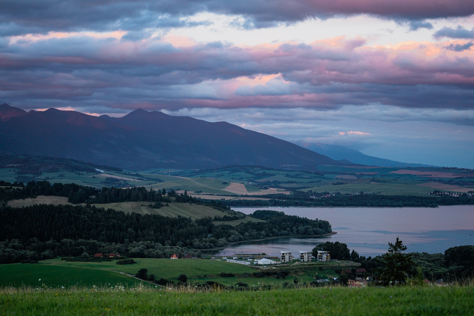
A journey along the traces of the submerged villages, forever buried by the waters of Liptovská Mara. This cycling thematic route offers not only sports activities and beautiful views but also interesting information about the water project that has significantly influenced the lives of thousands of people and forever changed the face and development of the entire region.
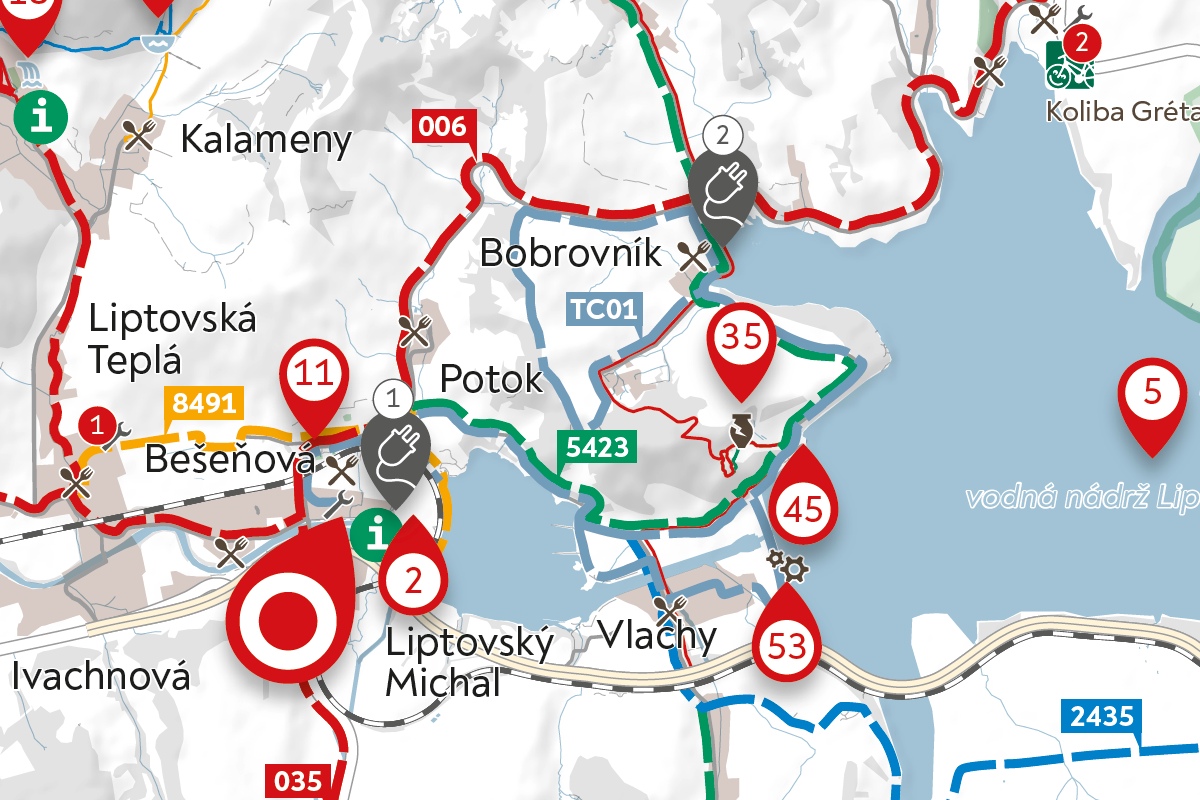
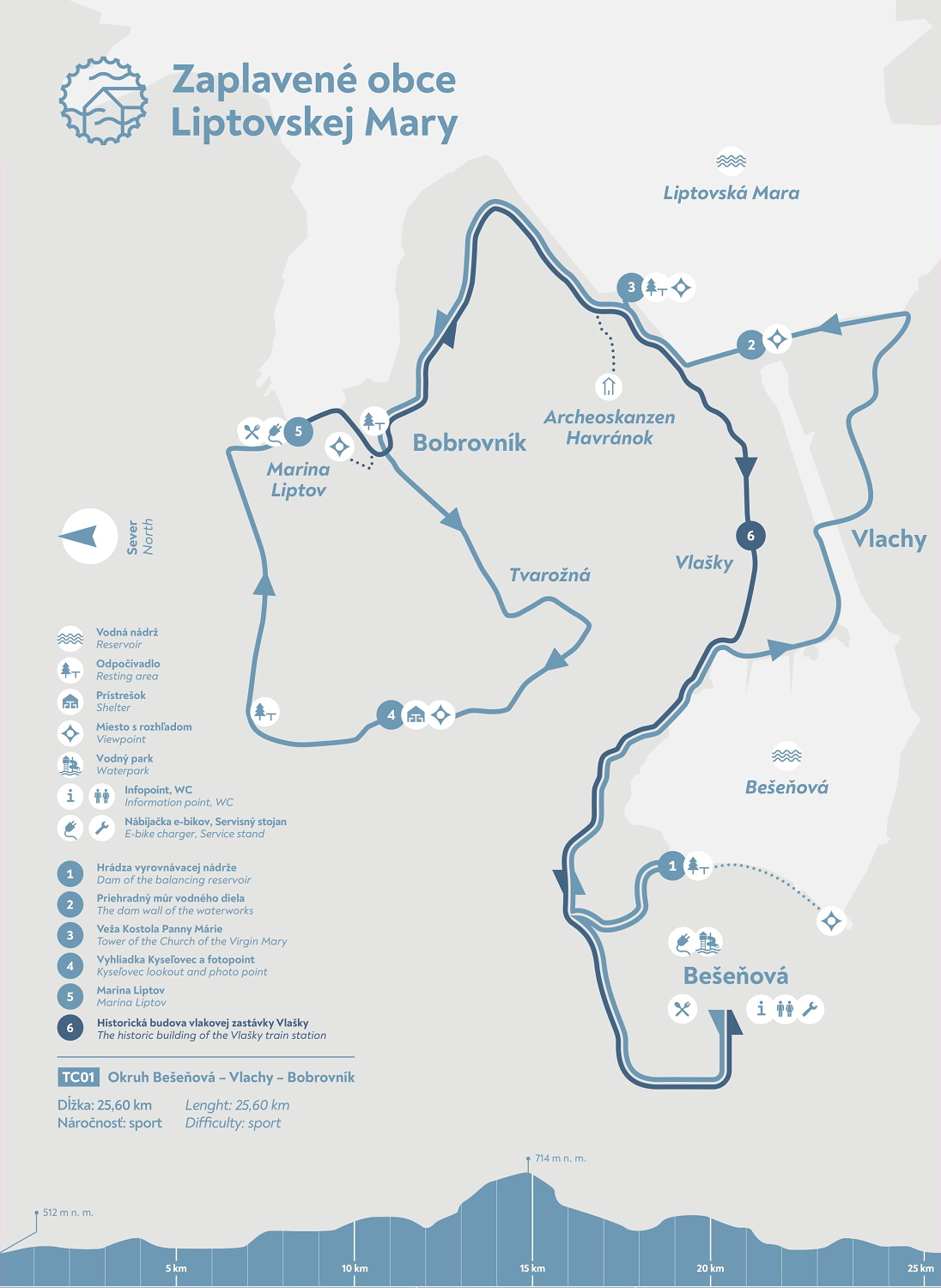
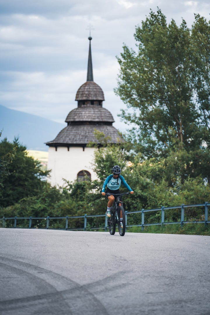
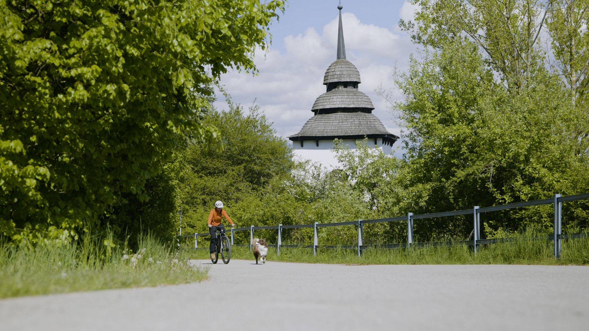
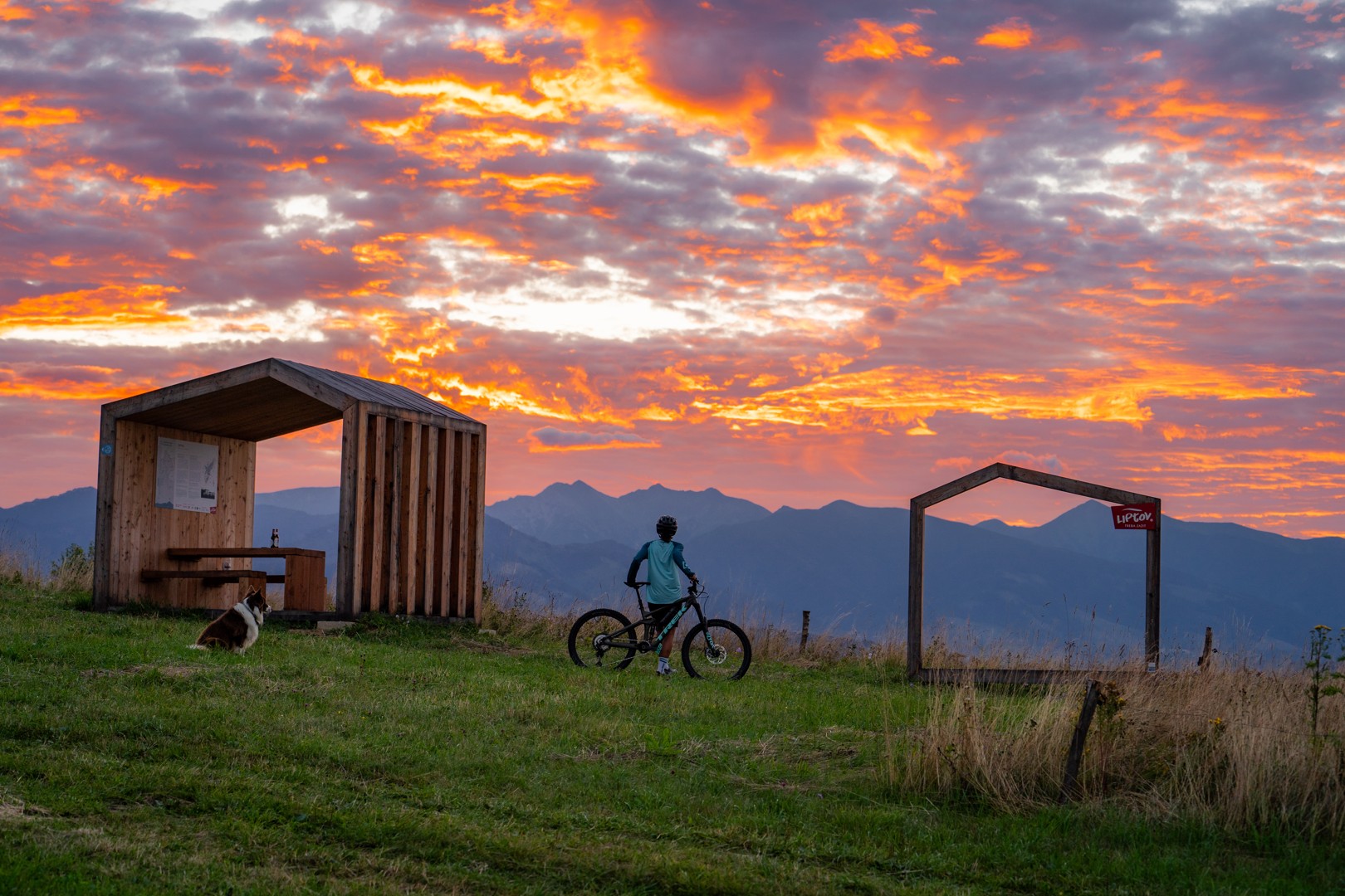
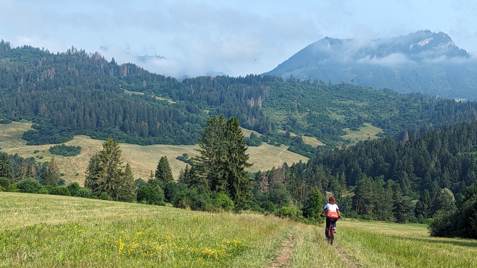
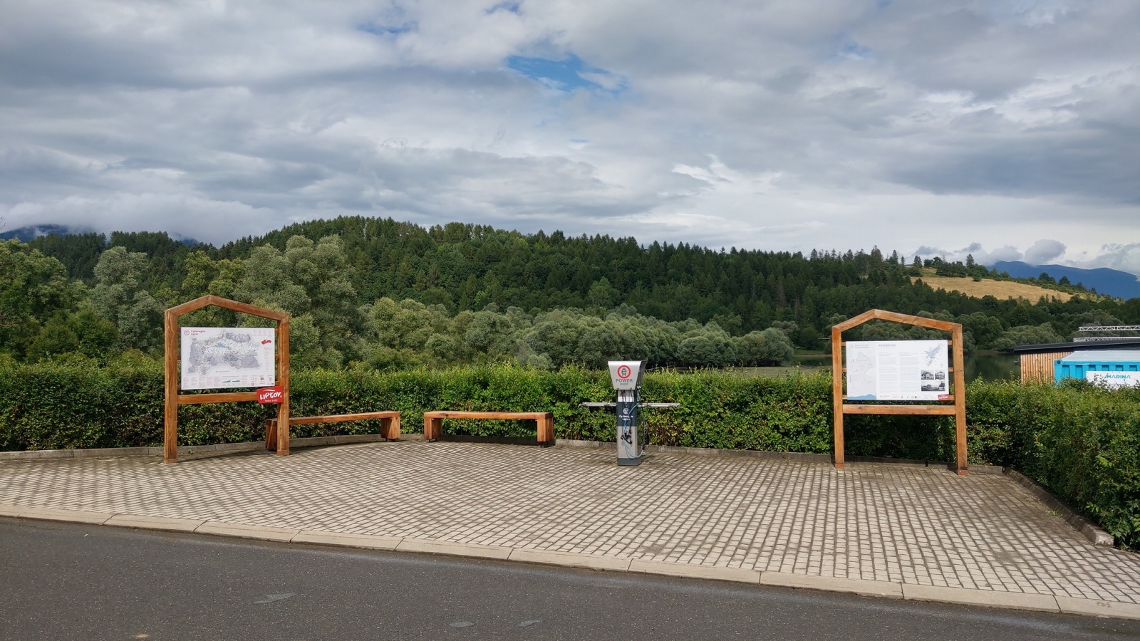
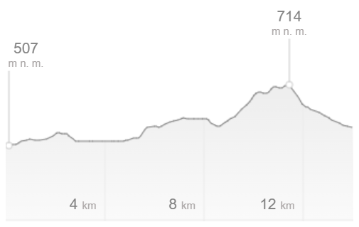
The loop starts in the center of the village of Bešeňová at the Infopoint, from there it heads to the dam of the Bešeňová Reservoir, then through the village of Vlachy to the dam wall, after which cyclists reach the church tower at Liptovská Mara, continue through the settlement of Tvarožná to the iconic viewpoint Kyseľovec. The journey ends in the village of Bobrovník near Marina Liptov and then returns along the dam wall to the historic building of the original railway stop in the settlement of Vlašky and back to Bešeňová. There are several steep climbs on the route, because of which we recommend completing it with the use of electric bicycles or more experienced cyclists.
Our tip: There are several uphill sections along the route, so we recommend tackling it with the use of e-bikes or for more experienced cyclists.
Everything changed with the idea of building the water project. From the declaration of the construction closure for the presumed flood area in 1950, through the definitive government decision to proceed with the construction until the completion and permanent use of the entire water project complex in 1976, the residents had to face many challenges. In a period of difficult struggles for their daily future, strength and the ability to withstand conflicting decisions and often unattainable demands were necessary. In the shadow of the future reservoir, a whole generation of people grew up on the threshold of the emerging new face of Liptov.
Below the water level of Liptovská Mara, there were a total of 13 historically independent villages, of which 12 were completely submerged by the reservoir. A total of 940 families, representing over 4,000 residents, were relocated. The thirteen vanished villages, of which only one was rebuilt, are fragments in the mosaic of life in Liptov. Through their names, recorded only in old maps, we also remember other villages that were significantly affected, positively or negatively, by the impact of this major construction project. It was necessary to relocate railway and road networks, reroute electric and telecommunication systems, establish new infrastructure for various areas of life, as well as create protective zones and safety measures.
The project was constructed between 1969 and 1975, and from the very beginning, its purpose was to mitigate flood torrents, improve water flow in the middle and lower reaches of the Váh River during dry periods, and generate electricity. Tourism development was a tertiary priority during the planning and construction stages.
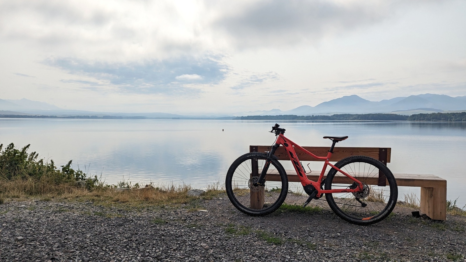
Nearly 50 years have passed since the completion of the water works, and people are no longer afraid of devastating floods in Liptov. The region has become a popular tourist destination. Enjoy the magnificent views of water and mountains from the saddle of your bike and learn interesting facts and information about the history of the water project and its related context.
Also visit: The mini open-air museum of the submerged villages in the Koliba Gréta area in Liptovská Sielnica, where you can find valuable information about other vanished villages that are not included on this thematic cycling route.