


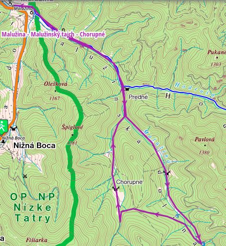
Detailed route description
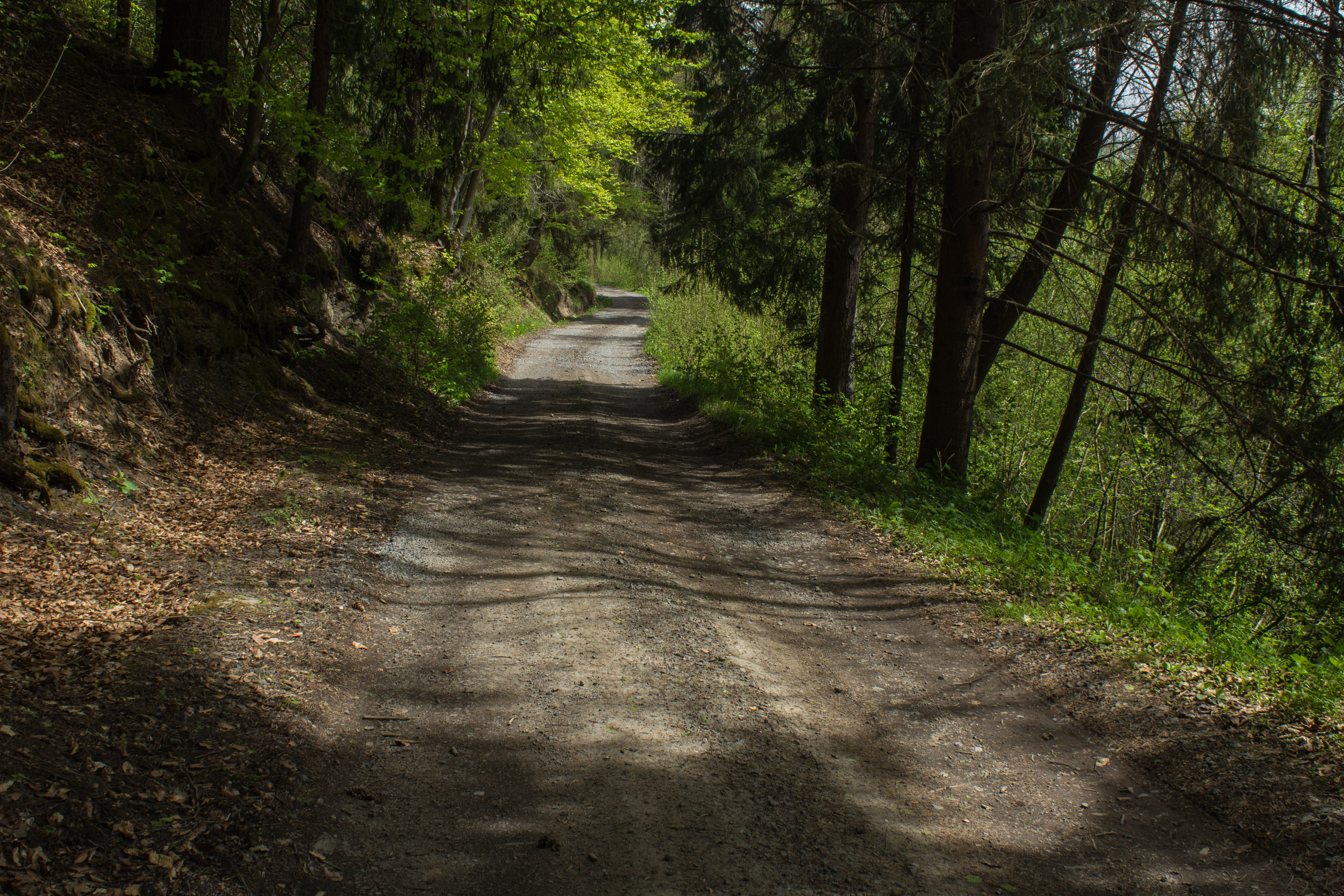
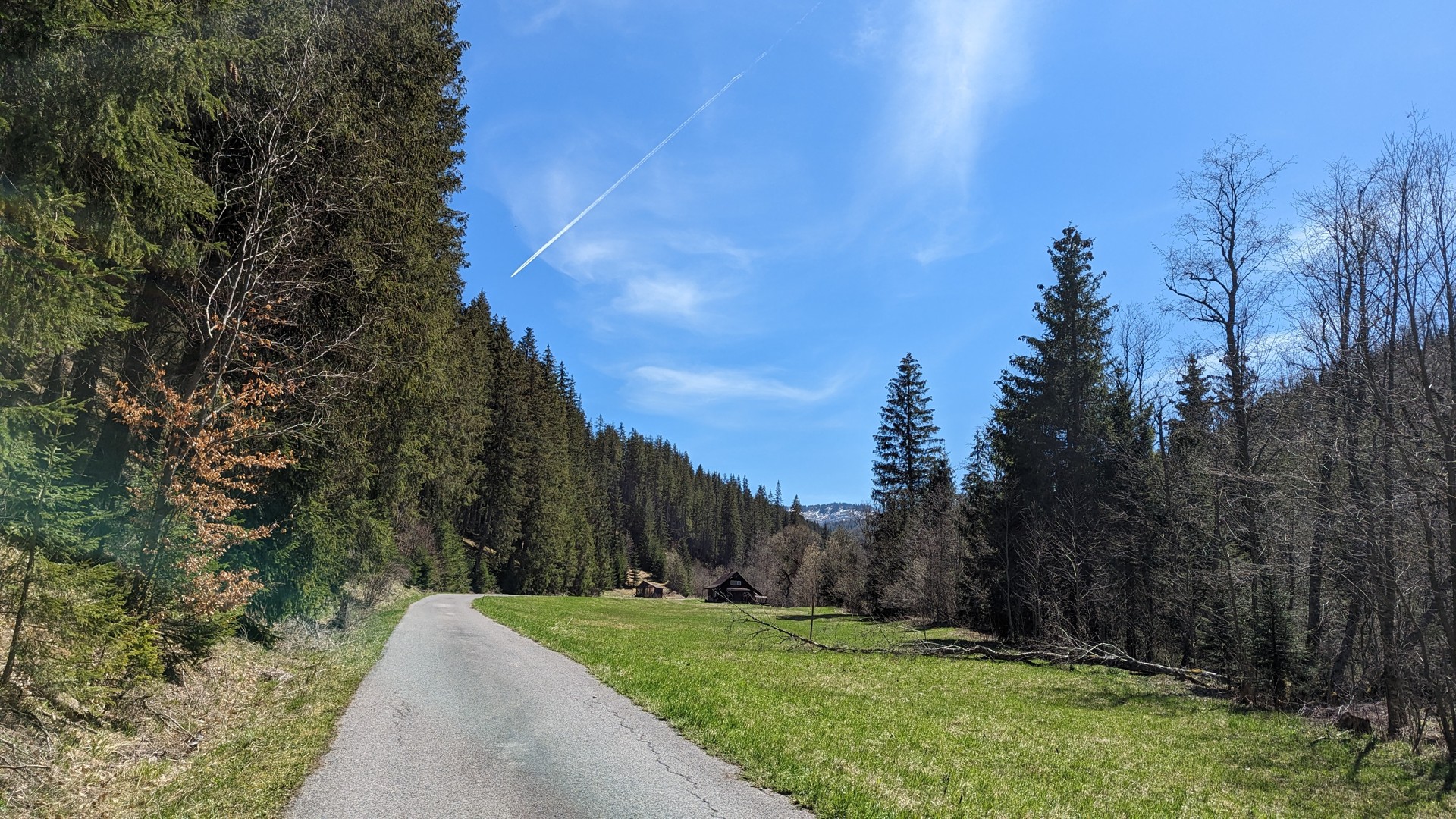
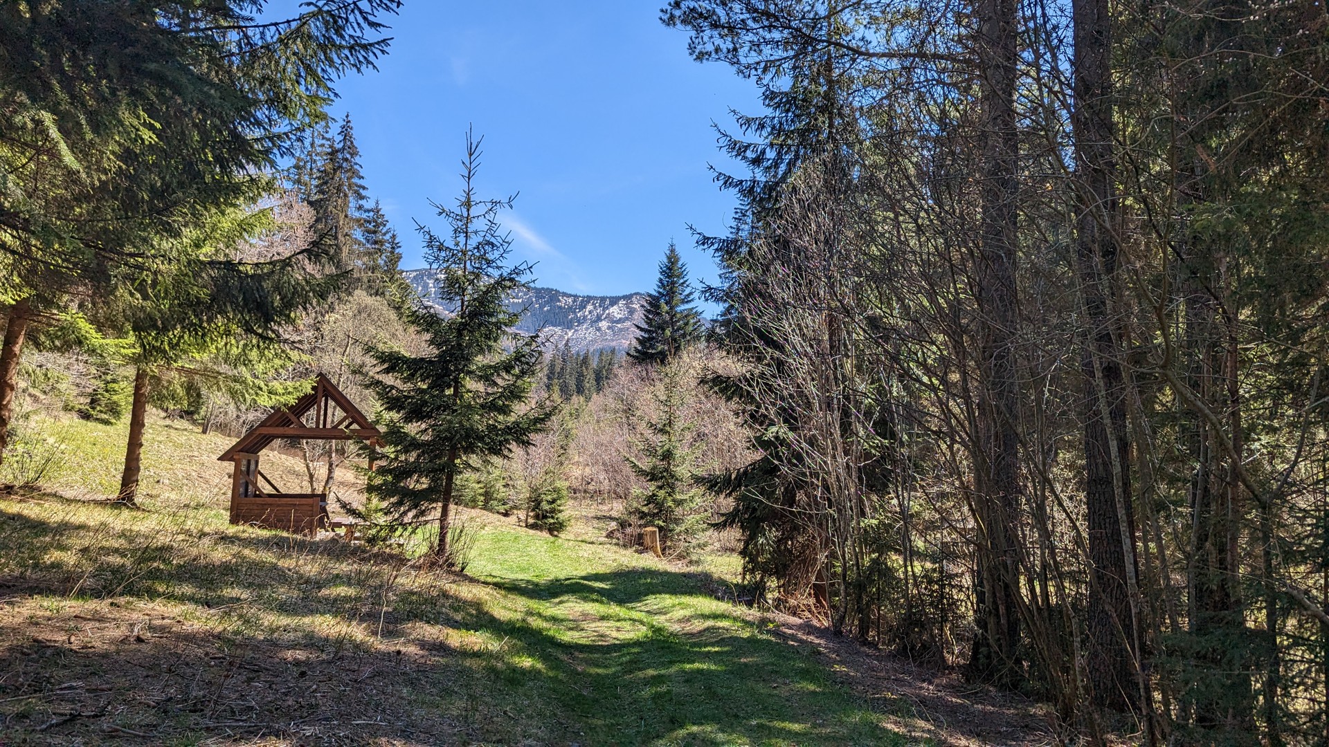
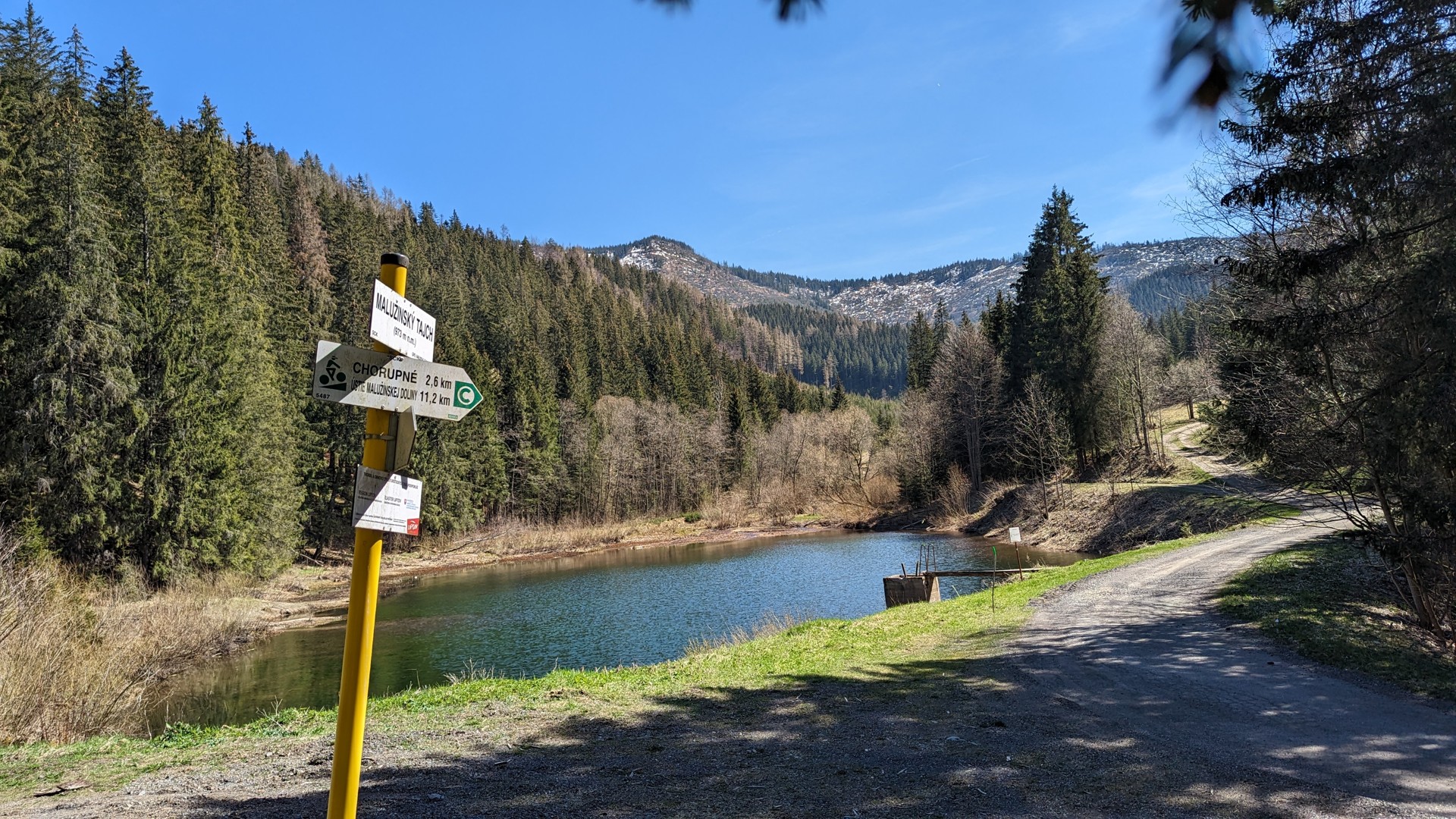
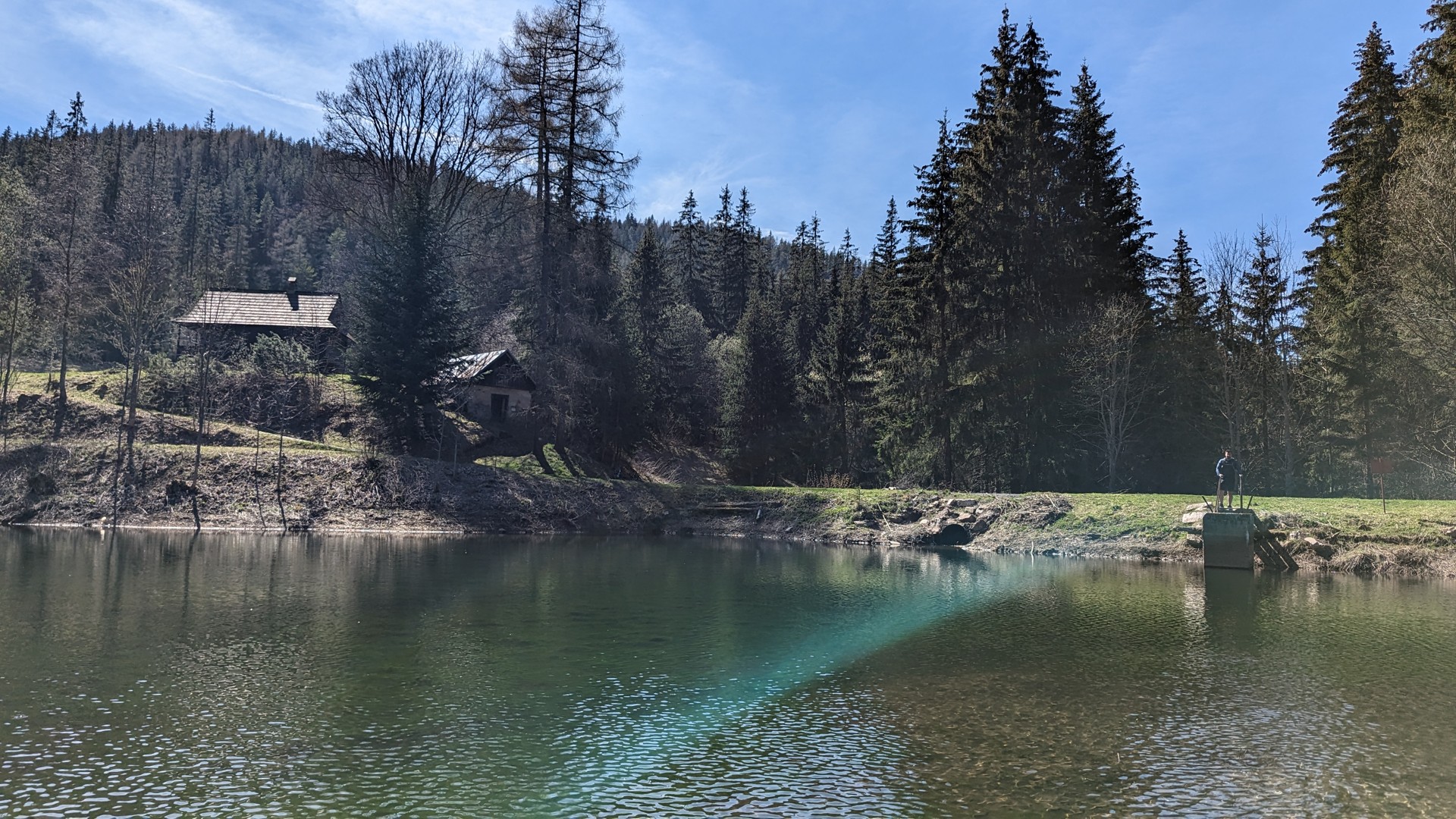
An undemanding, nice cycling trail that starts in the village of Malužiná. The route leads along the forest paths through the Malužinská Valley to the Malužinský Tajch. Subsequently, the route passes to Chorupné and returns back to Malužiná.
availability and parking options
Parking is available in the village of Malužiná.