


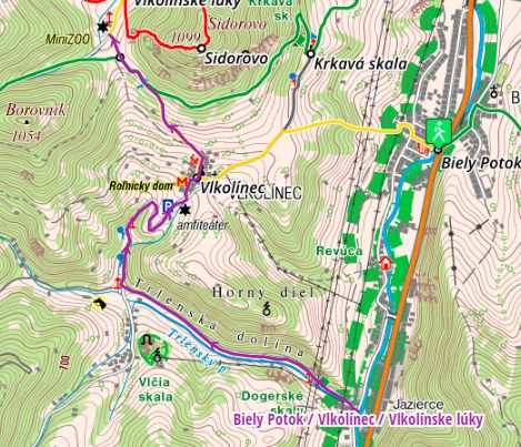
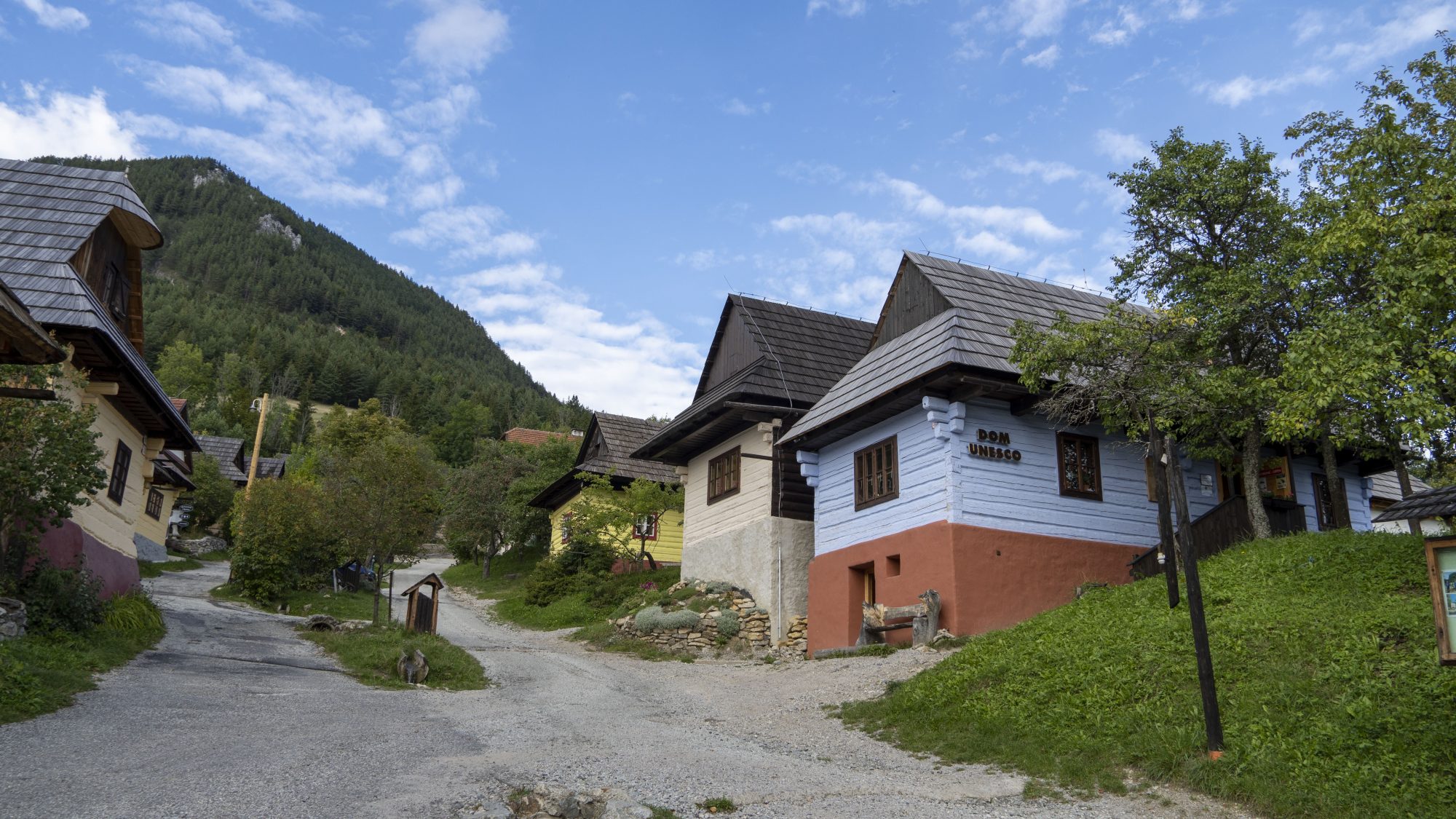
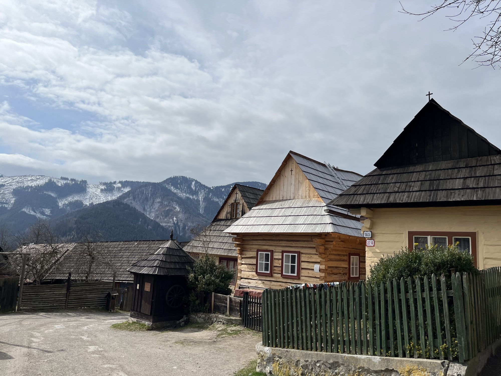
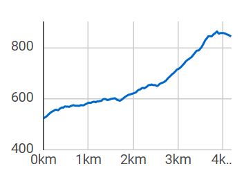
Constantly rising from start to finish. The route starts in the town of Biely Potok and continues on the asphalt road to the village of Vlkolínec. Initially, the climb is very mild, but the closer you are to the Vlkolínec, the more it rises. One hundred meters behind it is the asphalt road, then its slope becomes even larger, and the asphalt base is replaced by clay, gravel, and most of the free rocks. This section will push the bike 90% of the visitors. After passing the rocky section, only a short part to the destination of the route awaits you and a magnificent view. If you plan to tackle the hardest part of the route and do not like to give up, we strongly recommend a mountain bike.
Free parking is available in Biely Potok.
Na Biely Potok pravidelne premáva autobusová doprava z mesta Ružomberok. A bus service from Ružomberok runs regularly to Biely Potok.
Accommodation and catering can be used in the town of Biely Potok or in the town of Ružomberok.