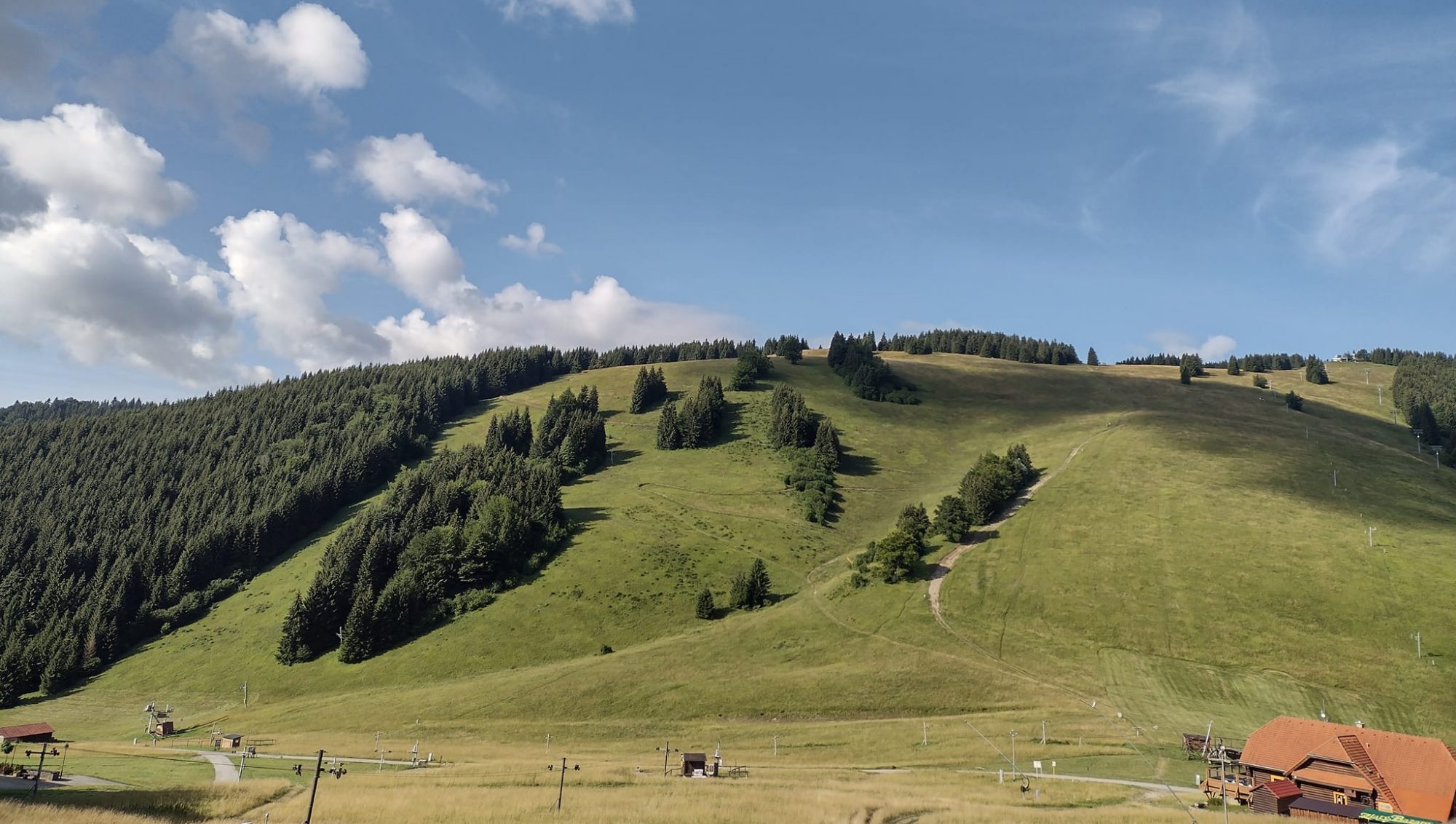
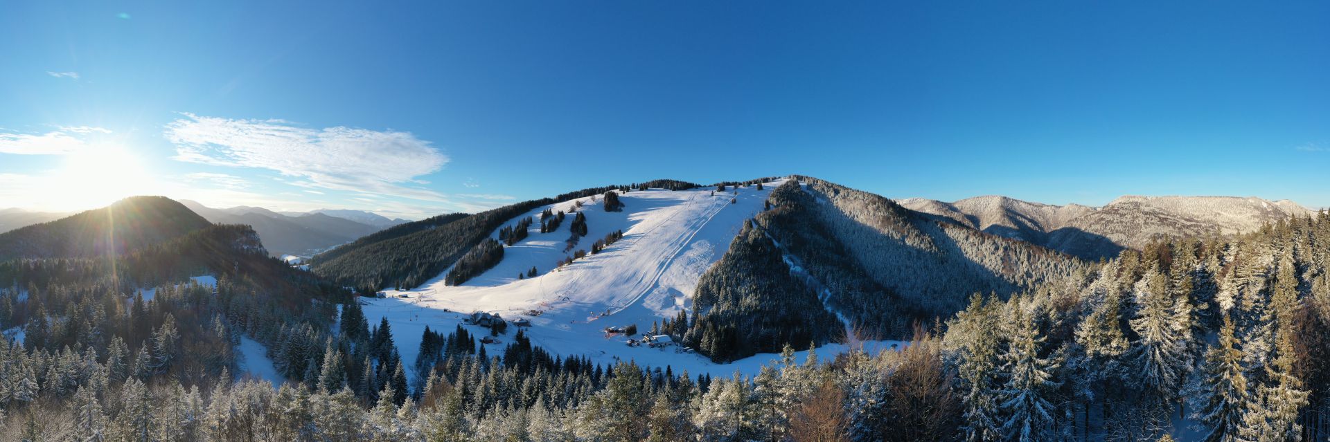
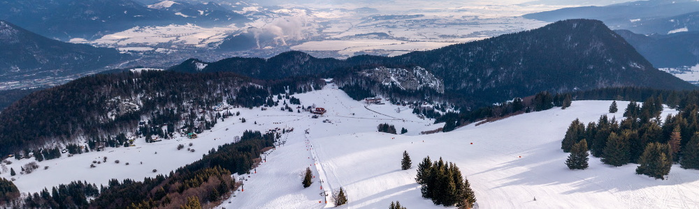
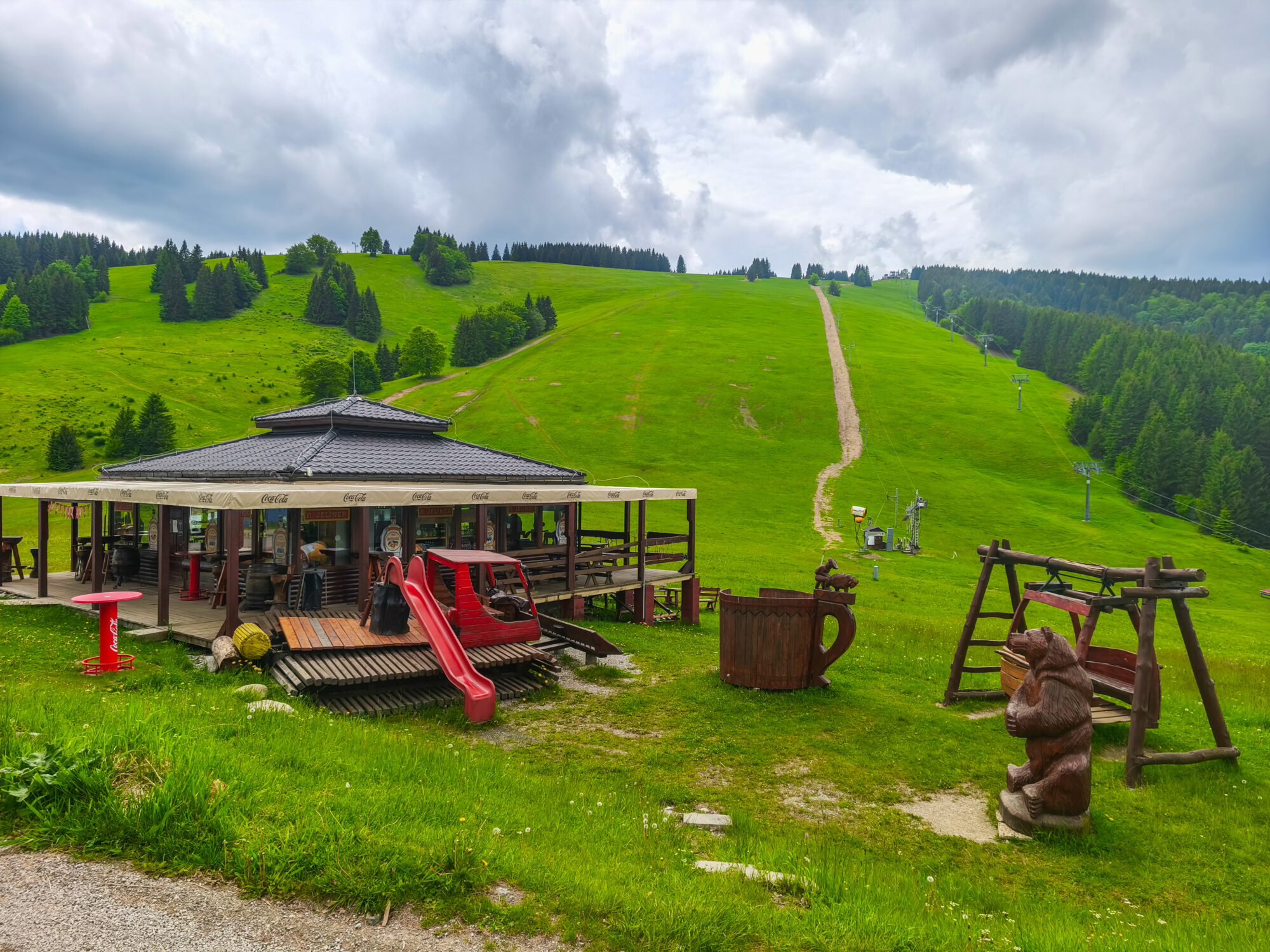
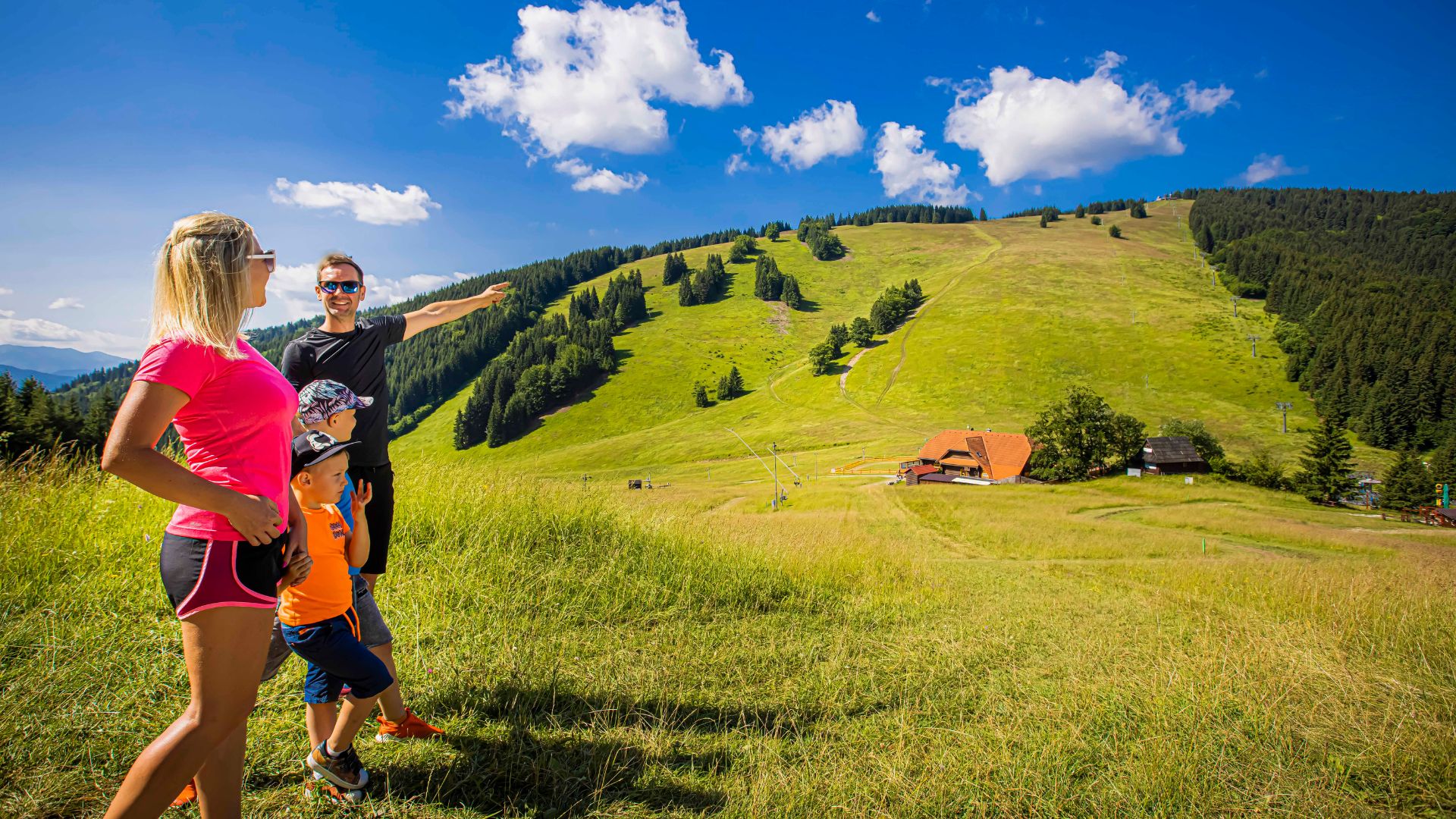
It is located southwest of the center of Ružomberok. It belongs to the Veľká Fatra mountain range. It is 1209 m above sea level. It is 5.5 km (as the crow flies) from the center of Ružomberok. The peak is covered with trees to the west and a meadow to the east. The view from it is to the east and partly to the north. It is visible from the Liptov Basin. The peak of Malinné provides a view of the Malinô Brdo ski resort and the Liptov Basin.
It can be reached along a marked hiking trail from the center of Ružomberok, the city districts of Biely Potok and Černová, Vlkolínec, or the recreational locations of Hrabovo and Čutkovo.
From the center of Ružomberok, we can reach the peak of Malinná along the blue-marked hiking trail through the Vlkolín Meadows.
From the viewpoint, you can see in particular the Malinô Brdo ski resort, the Choč Mountains, the Western Tatras, the Liptov Basin and part of the High and Low Tatras.
- It can be climbed all year round. (In winter, the ascent route is skied to the top)
- The ascent from Ružomberok takes approximately 2:45 hours.
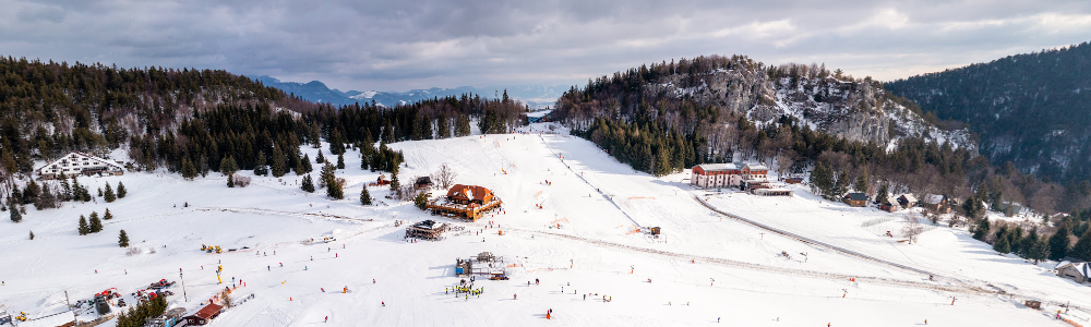
- The summit viewpoint is formed by a meadow with the upper station of the chairlift.
- There is a panorama with a description on the platform of the chairlift station.
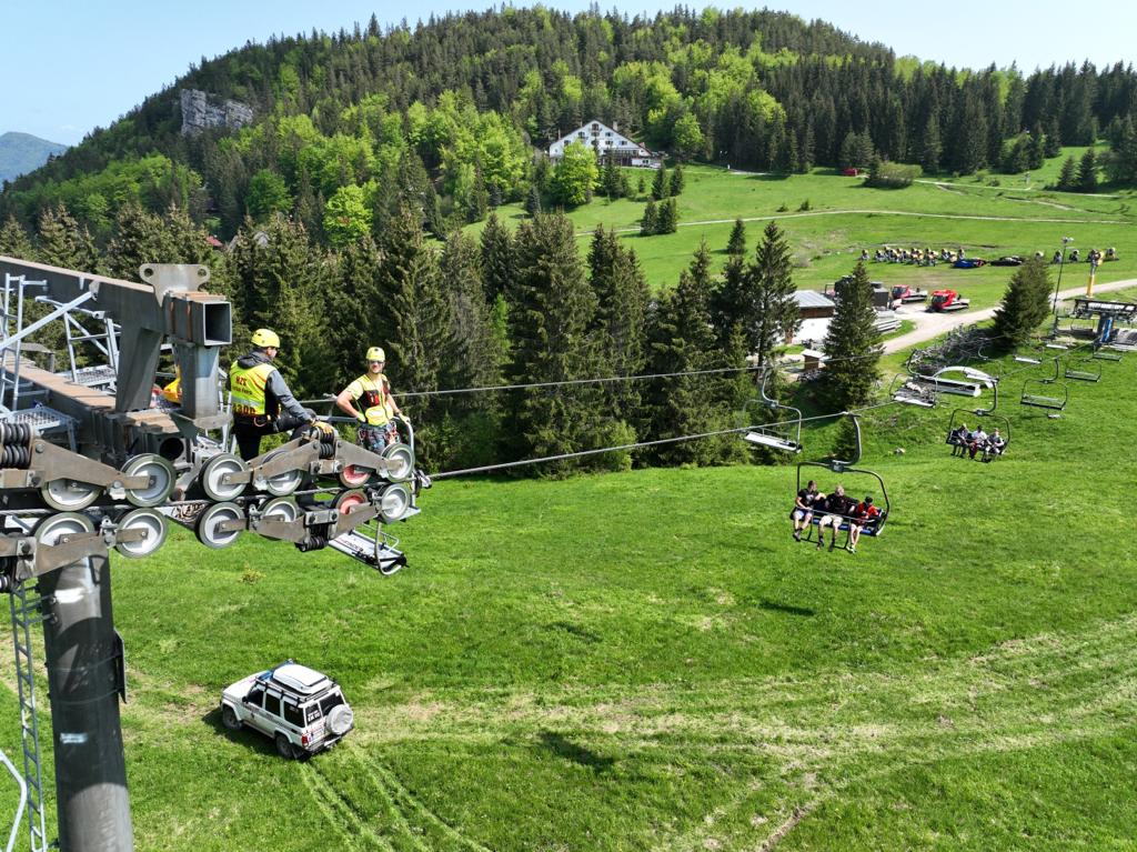
- A chairlift from the Malinô Brdo resort runs to the summit in the summer and winter months.
- The peak is also known by the local names Malino, Malinô, Malino Brdo, Malinô Brdo.
- Cross-country and ski mountaineering races are held here with the finish at the summit.
- Downhill cycling trails lead from the summit.
Please describe your experience