The village of Smrečany is located 7 km from the town centre Liptovský Mikuláš and is easily accessible by bus line LM – Žiar or by car. It is possible to park a car in front of the shopping centre Jednota, and there is also a bus stop nearby. 10 km circuit ideal for Nordic walking begins in front of the shopping centre.
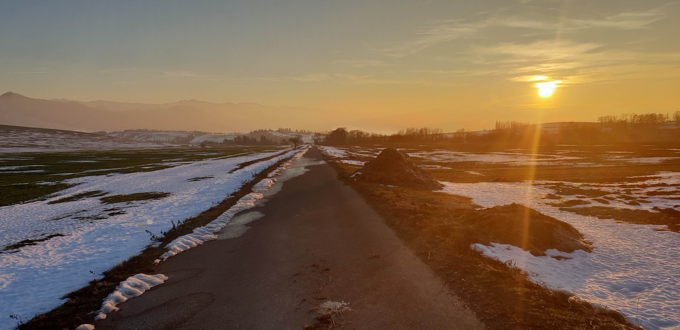
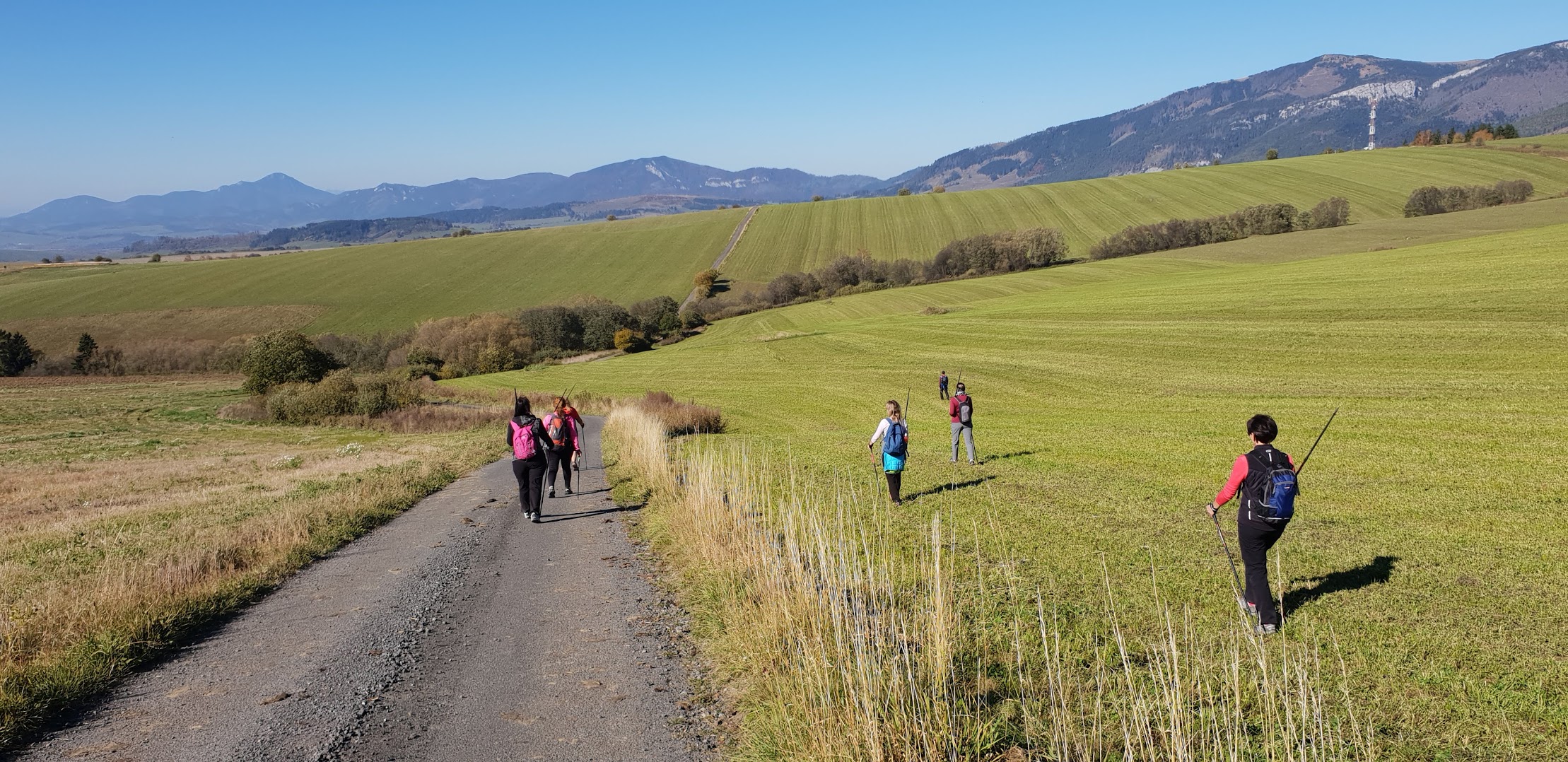
It is a circuit, so the starting point is identical to the place of finish of the route, during which you will get beautiful panoramic views of the mountain ranges the Western and the Low Tatras, the Choč hills. In case of good visibility in the distance you will also see the transmitter Kráľová Hoľa. The most remarkable landmark of the route will be the magical view of the most famous Slovak peak Kriváň.
From the grocery shop Jednota in the village Smrečany, you will go about 100 m north along the main road, where at the first possible turn on the right turn right and continue along the road for another 300 m between the houses. You will pass Matej’s log cabin, and here you can make your first stop. Behind the cabin there is a giant area for fallow-deers, sheep, and a goat with baby goats. Behind Matej’s log cabin, you can finally get above the village and to the road between the fields. Approximately after the first kilometre from the grocery shop Jednota, you will pass by the crossroads of the villages Smrečany – Žiar.
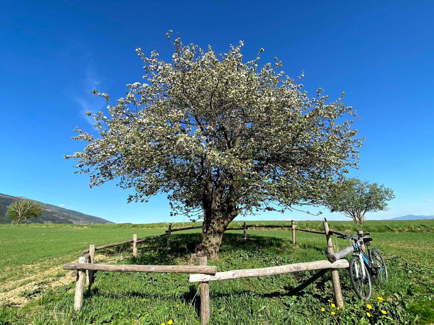
It is a crossroad to all four world sides. You continue straight east to the village Veterná Poruba. At the cooperative Veterná Poruba, you do not turn into the village, but in the direction out above the village. You will pass the cooperative first, after a few meters further the cemetery, and on the way, you continue northwards further direction behind the village. On the fifth km of the start, on the left side there is the extinct settlement of St. Stephen and on the right, there is the sign NOVINY and new route towards the village Liptovský Ondrej. But you continue straight north and at the first possible turn on the left turn left and continue the asphalt road above the village Žiar. You will pass a 100-year-old apple tree growing in a field and later through a birch alley above the village Žiar. Here you have two options: Option number 1: Continue down to the village and walk through the village towards your car, or Option number 2: a few meters above the cemetery between the cooperative fields you turn left and reach the crossroads of the villages Smrečany – Žiar which is already familiar to you.