Mouth of Jalovecká valley – Baníkov – Žiarska valley
Tourist route: Jalovecká valley – Baníkov – Žiarska valley
Area: Western Tatras
Destination of the route: Baníkov peak (2 178 masl)
Difficulty: very demanding hike
Duration: 6.45h
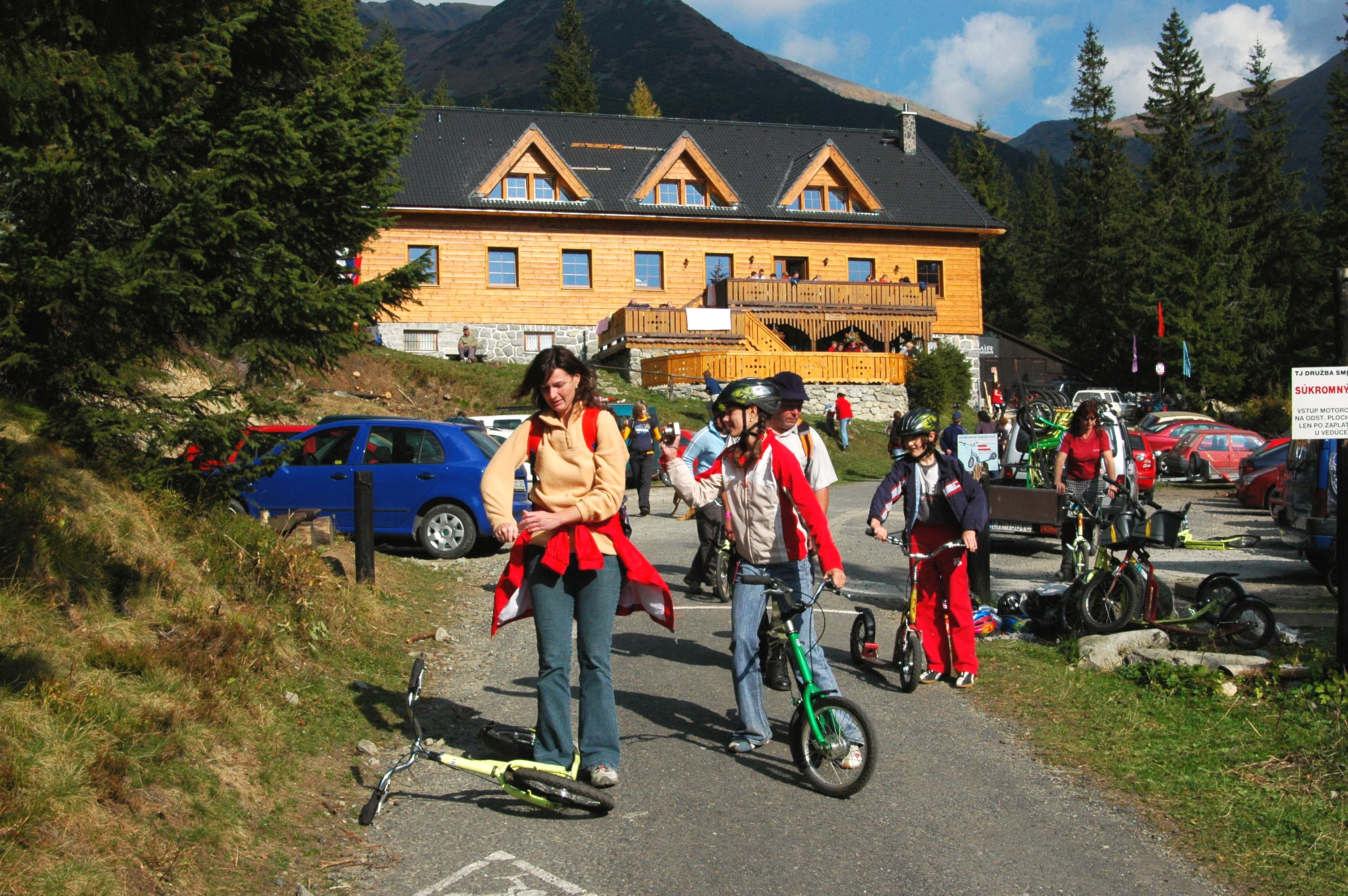
Starting point: Jalovecká valley
Elevation: 1,378 m
Route: Jalovecká valley – mouth of Bobrovecká valley 1.15h – Hlboká valley 30min. – Baníkov saddle 2 h – Baníkov 15min – Jalovecké saddle 45min – Žiarska chalet 1 h – Žiarskej valley 1 h Total: 6.45h
From 1 November to 15 June, the path is closed.
We can start from the crossroads in Tokariny, following the yellow sign, which leads along the short section together with the red path (0860). At the signpost at the mouth of the valley, the yellow sign turns left and leads along the left side of the Jalovecký stream to the Jalovecká valley. We cross the small stream and continue along the forest road. Later we will ascend along the sidewalk from the bottom of the valley to its left slope. We continue through the traverse and return to the stream again. We cross several wooden bridges with a slight ascent to the rest area in front of a long wooden footbridge and find ourselves at the mouth of the Bobrovecká valley (1,005 m) and the Parichvost valley.
Behind the footbridge we cross the blue (2710) and green (5611) marked path to the Parichvost valley. We will get to the left side of the valley via wooden bridges and we will climb through the forest (about 1 hour) to the turn-off of a green marked path at the mouth of the Hlboká valley (1,130 m). We continue along the blue mark, cross the bridge to the left side of the valley and ascend steeper through the forest into the pine trees zone. We return to the stream again and cross to the other side. We go up a steep serpentine path between pine trees and rocky ribs and continue along a longer traverse through a fan of rocky gutters and a grassy slope to the left to Baníkovské saddle (2,040 m). Here we turn right and follow the red marked ridge road (0862) with a steep, sometimes exposed ridge to get under the top rib. After it we go to the highest point of the route – Baníkov (2,178 m).
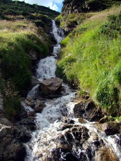
From its top we can enjoy a beautiful circular views of the Orava, Liptov and Tatra landmarks. After a short rest, from the top of Baníkov we set off along the green sign (5610), which leads through the southern rib to the shallow saddle. From there we ascend the exposed rock ridge to the second highest point of the route – Príslop hill (2,142 m). We continue south on a rocky, later widening grassy slope to the wide Jalovecke saddle (1,858 m). From the saddle, the markers will take us to the eastern slope to the first islands of pine trees. We descend the gutter through the serpentines. Then we turn to the left into the gutter under Šarafiový waterfall. We cross the stream on its left side. We follow the path to the Place of Remembrance for the victims of mountain accidents in the Western Tatras. From there we walk by to the house of the mountain service to Žiarská chalet (1,300 m) and a comfortable descent down Žiarská valley we end the trip at the bus stop just below the mouth of Žiarská valley (880 m).