


Winter closure: the ski mountaineering season lasts 15.12 – 30.4.
Best time for the trip: all season with enough snow
Equipment: depends on the conditions, ski crampons are recommended, crampons – in case of icy conditions, avalanche equipment is necessary
Route description
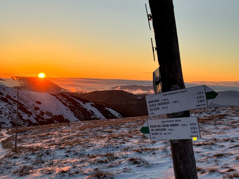
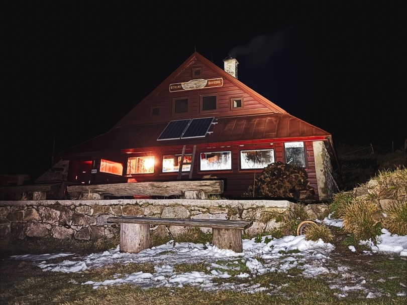
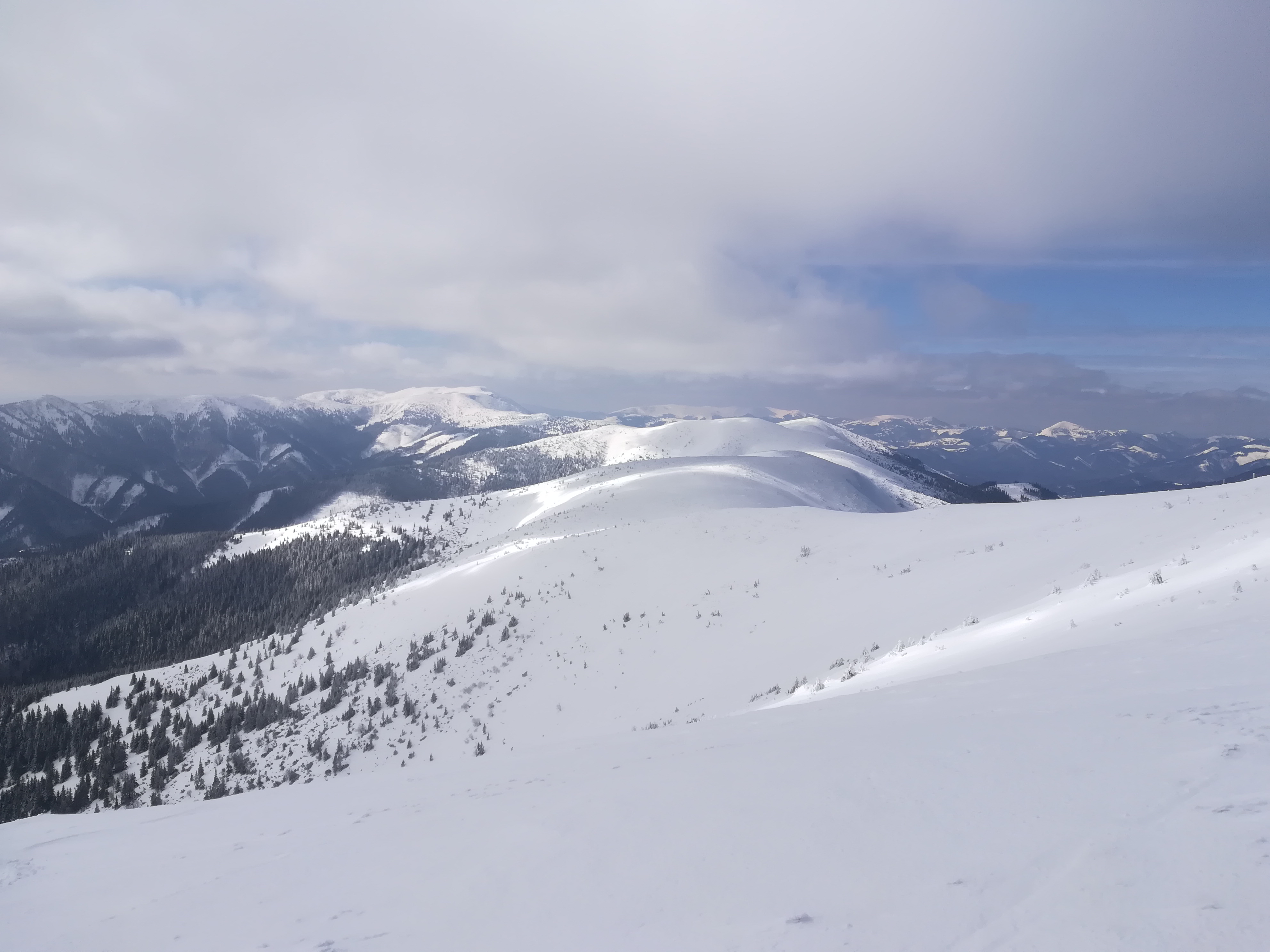
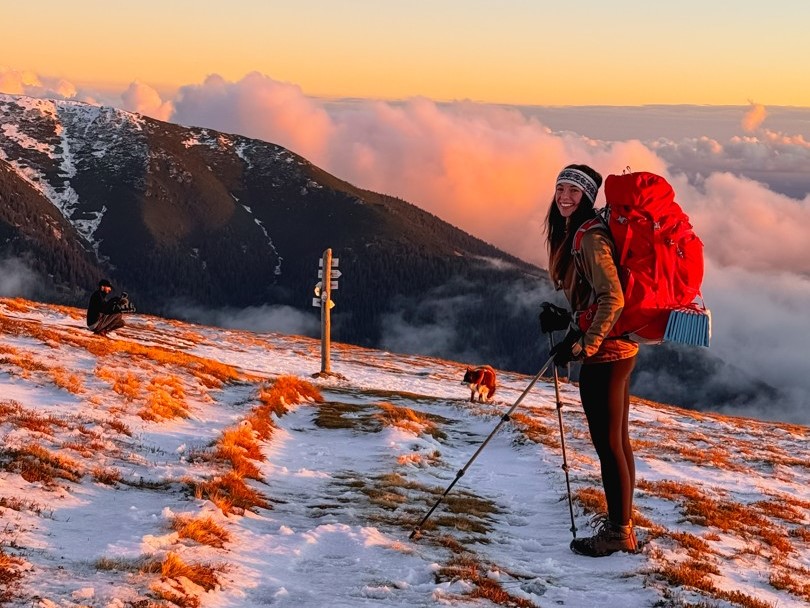
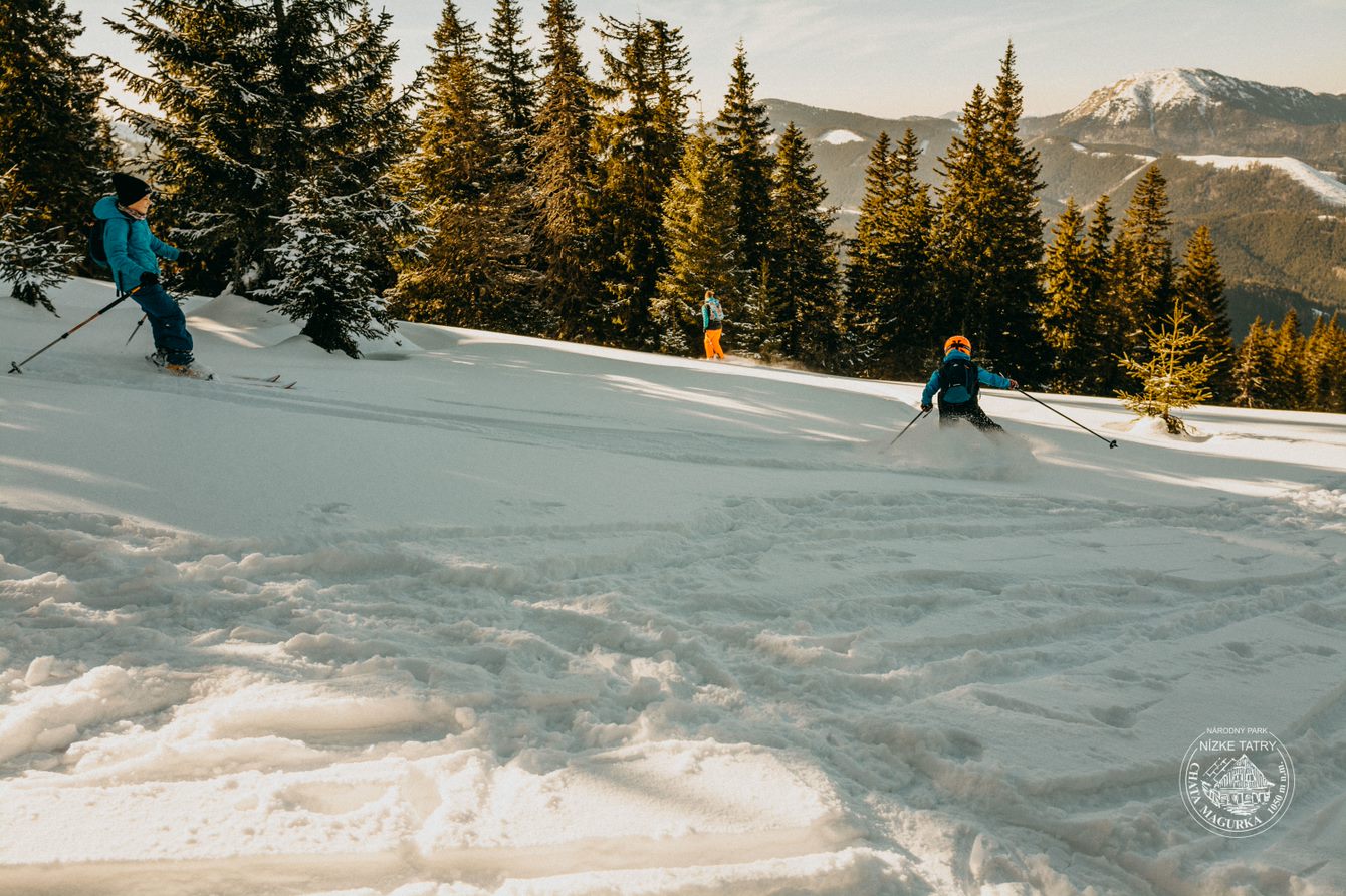
The goal is the peak of Ďurková in the main ridge of the Low Tatras. The peak itself is not very striking, but it is sought after because of the views and good accessibility from the village of Magurka. Another attraction is the tourist shelter under Ďurková, which is located less than 100 meters below the ridge.
However, the descent from Magurka is not suitable for beginners, because it is located in open, free terrain.
Way up
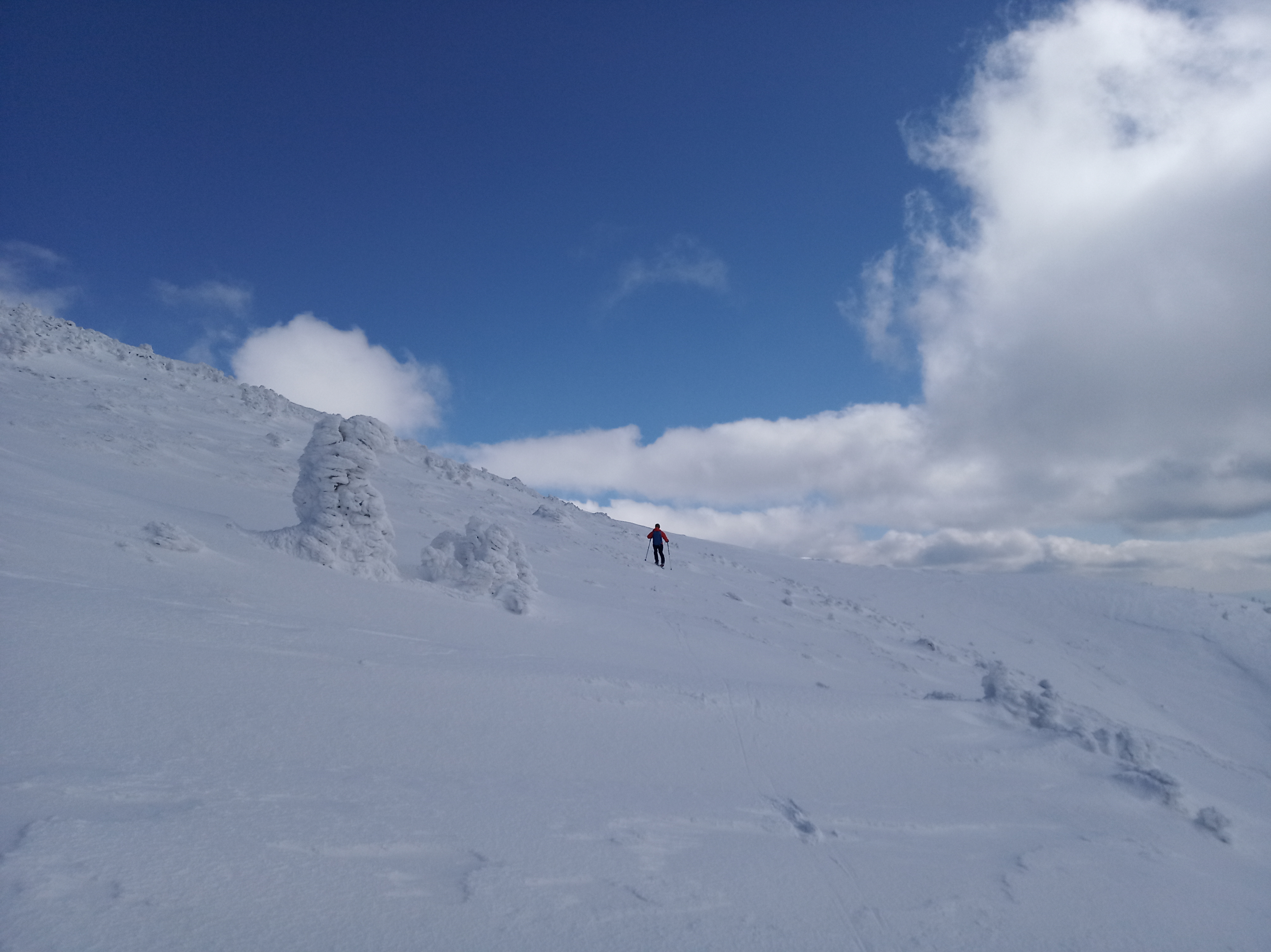
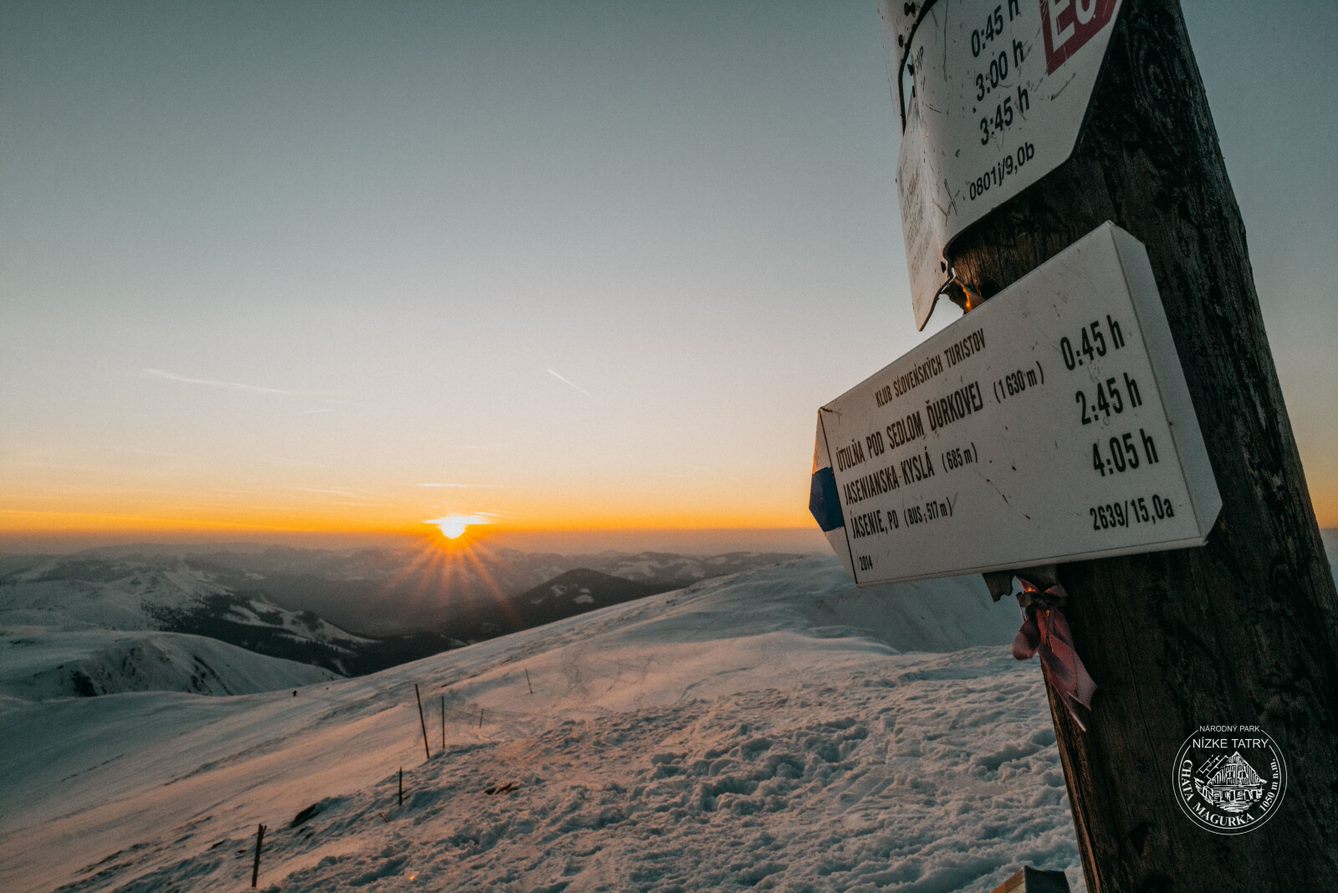
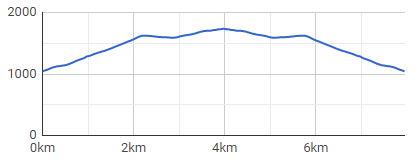
The route starts directly in the village Magurka, where it is easy to park. It is located at an altitude of 1035 masl on the northern side of the Low Tatras. From the point of view of ski mountaineering such a location is very advantageous, because the snow stays here for a long time and at the same time it is close to the main ridge from here. The ascent to the ridge itself is quite steep, gain is almost 600 meters in less than 3 kilometers. It leads along the blue and then yellow trail marking to Zámostská hoľa (1625 masl).
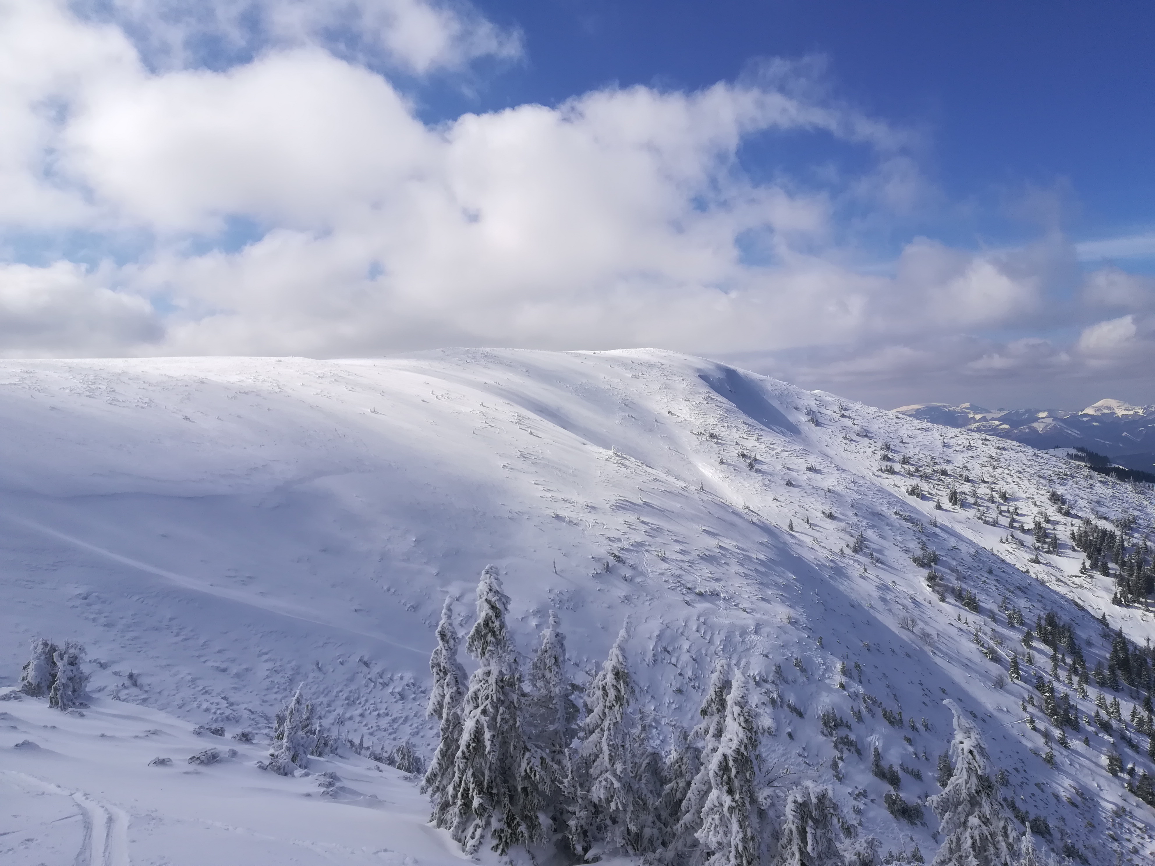
The lower part stretches through the forest, which gradually thins. From about 1500 masl there are almost no trees left. From Zámostská hoľa there is only a slight ascent along the red trail marking to Ďurková. The ridge delights with beautiful views of the Great Fatra (Veľká Fatra) and the ridge of the Low Tatras (Nízke Tatry). It is possible to continue for another approximately 100 meters in the direction down south and enjoy refreshment in the shelter.
Way down
The first part of the descent leads along an unforested ridge on a slight slope. The descent then turns north and leads initially through a sparse, gradually dense forest back to the settlement.
The route itself is not threatened by avalanches that much, but the other slopes from Ďurková towards the Viedenska valley offer risk of avalanches.
Mining tradition – although the first reports of gold mining in this area date back as far as to around 1250, back then it was probably about panning for gold from the deposits of the Ľupčianka stream. The settlement of Magurka was founded as a mining settlement in the 14th century. Gold was mined and washed by hand, over time machines came. The mines themselves are located above Magurka on the northern slopes of Latiborská hoľa at an altitude of 1100 to 1400 masl.
By bus: no availability
By car: from Partizánská Lupča or from Liptovská Lužná. This is a poor quality road. The road to the Magurka settlement itself is difficult to cross in winter. With a lot of snow, it is good to be equipped with snow chains.
Hut Magurka, open daily, with accommodation and hut’s kitchen. Cottage Ďurková, open daily, with cantine and cottage’s kitchen – but has a significantly lower standard (sleeping on mattresses).
+
the starting point (high)
quick ascent to the ridge
place of rare visits
–
poor quality access road
no bus connections